


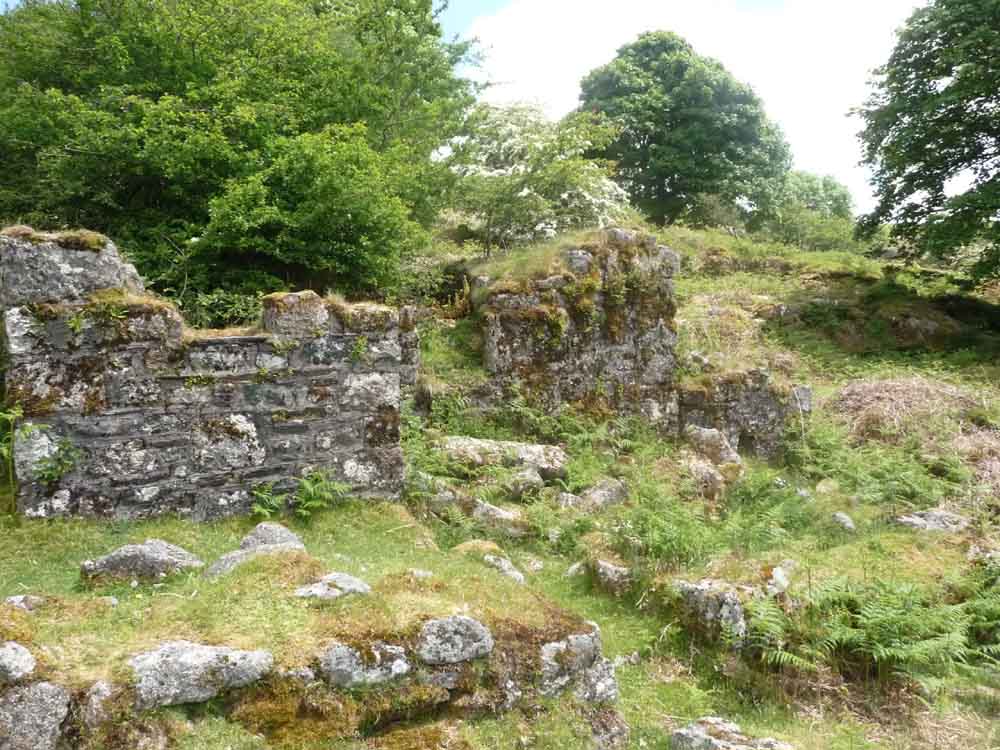
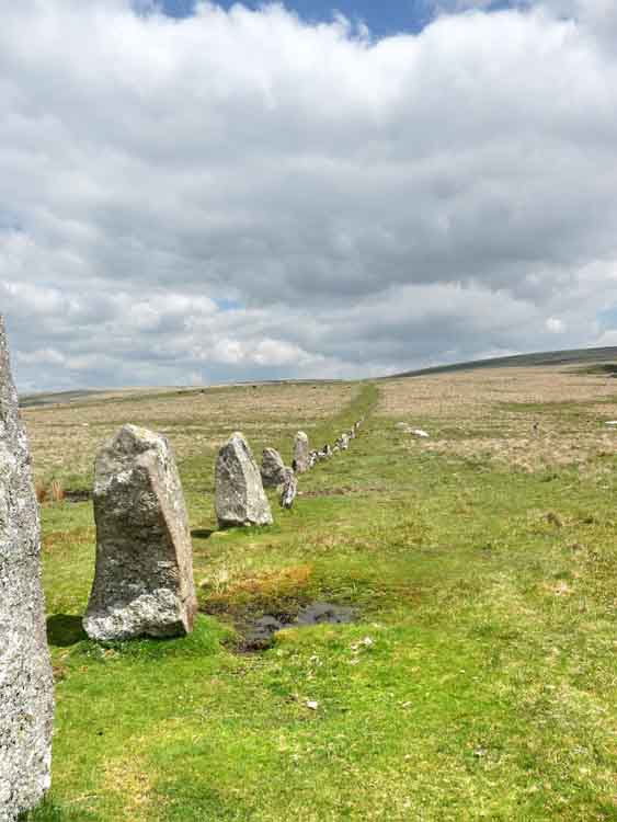
This walk: 2010-6-2. Middleworth Farm, shippen, hayloft, Heath Speedwell, track towards Deancombe, approach to Deancombe Farm, possible pigsty, granite trough, Deancombe Farm remains, String of sausages lichen (Usnea articulata), Spotted Wood butterfly, rare giant granite mushroom - otherwise known as staddle stones, grinding stone for sharpening farm implements and tools, Cuckoo Rock, unknown plant, second set of staddle stones at Deancombe, a conifer tree growing in / on an oak tree, Narrator Brook, bluebells, mortar stones, Heath Spotted Orchid, orange fungus, Outholme Farm, shaped granite mullion; Down Tor, Leather, Sharpitor, Combeshead Farm cave, cache, growan, hawthorn blossom, Hingston stone row, cairn circle, Burrator reservoir, sheep.
Walk details below - Information about the route etc.
Photos - Jim, Captions - Liz.
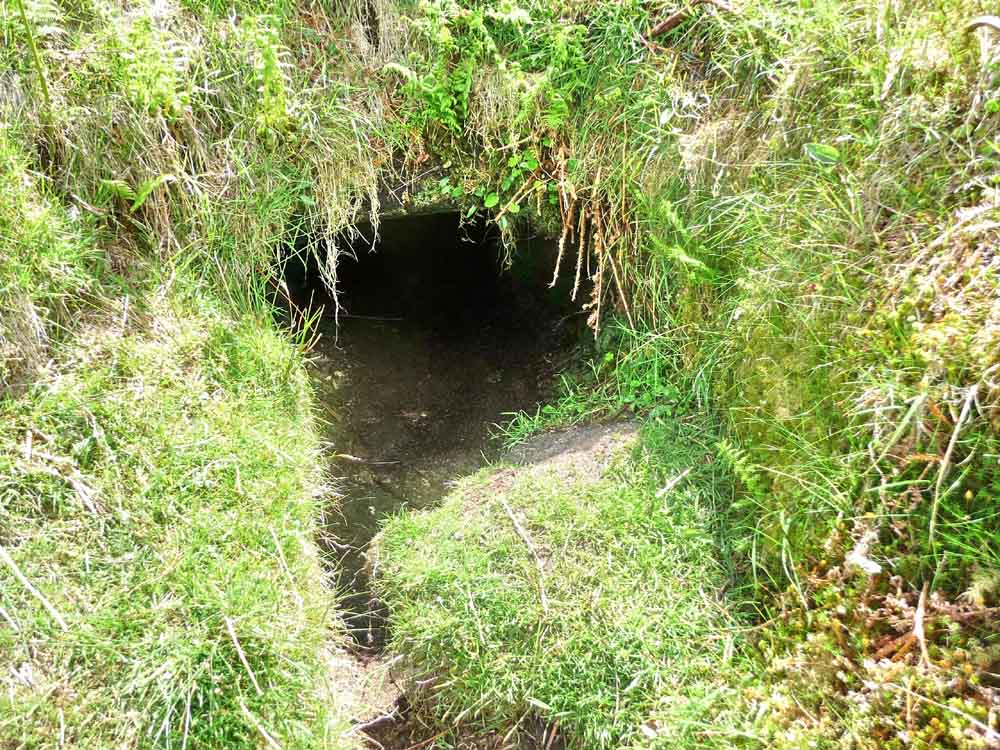
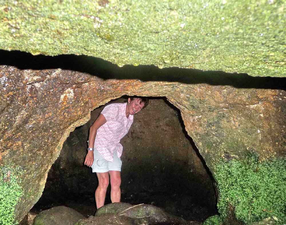
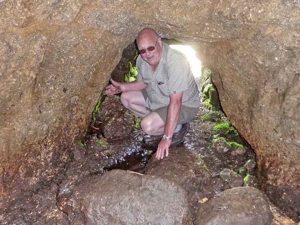
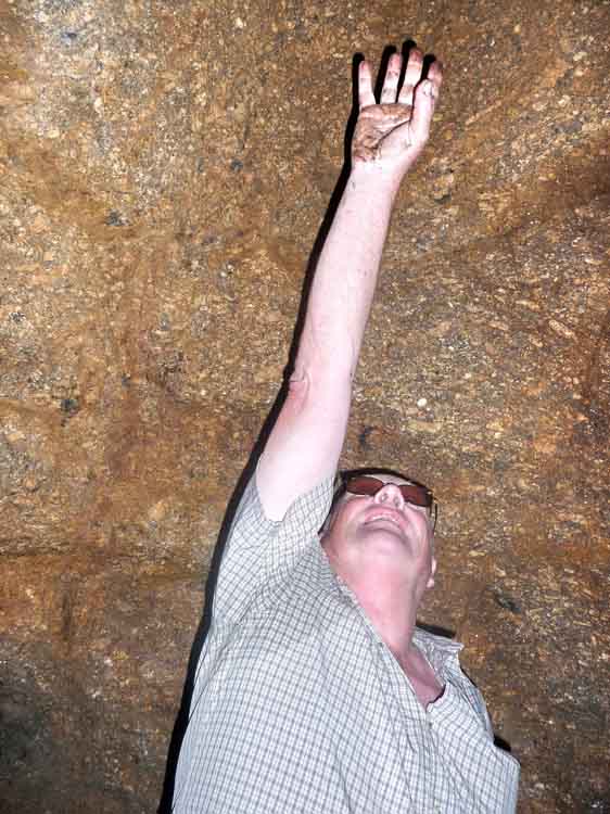
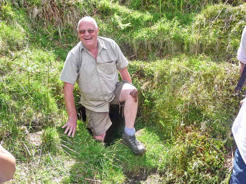
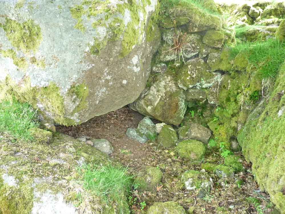
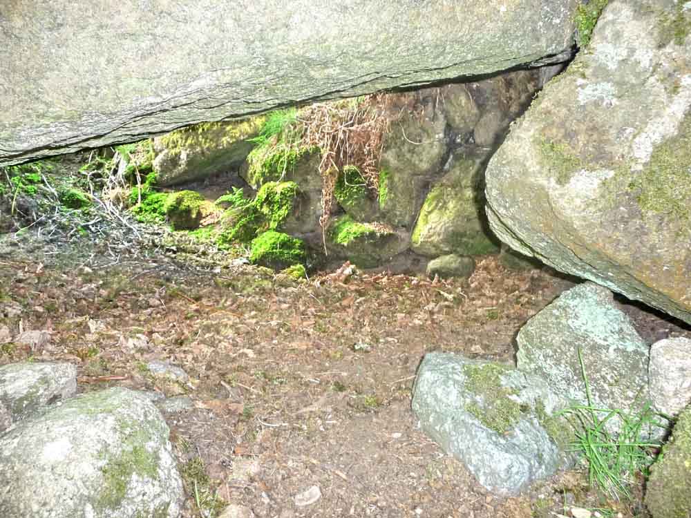
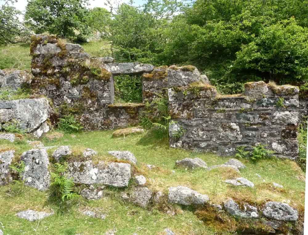
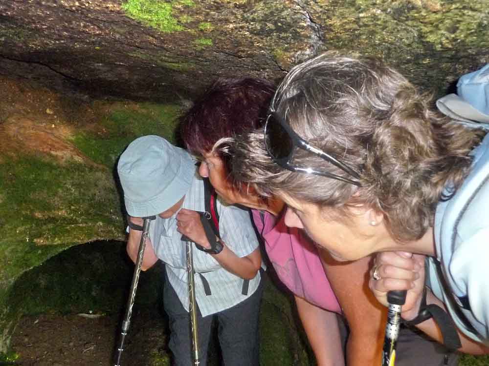
The next four photos show the potato cave at Combeshead, built out of the growan and used for the storage of root vegetables.
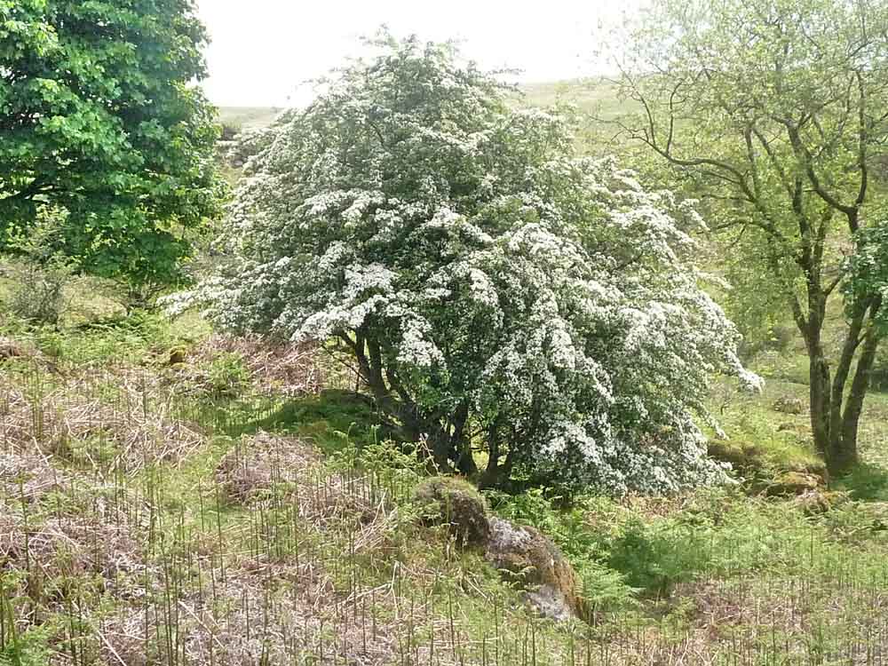
Hawthorn blossom, Cretaegus monogyna.
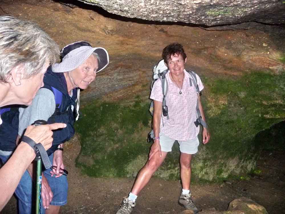
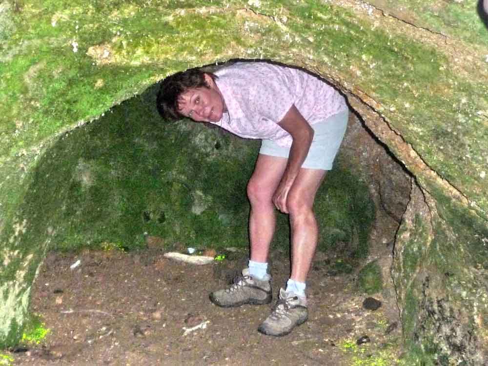

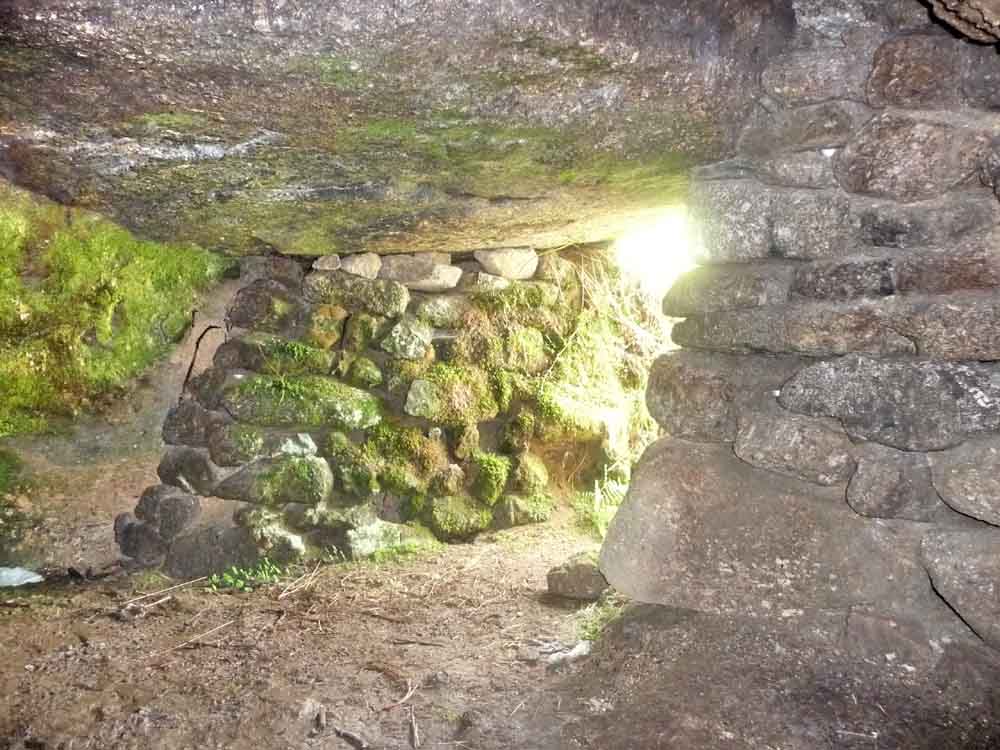
Well built entrance.
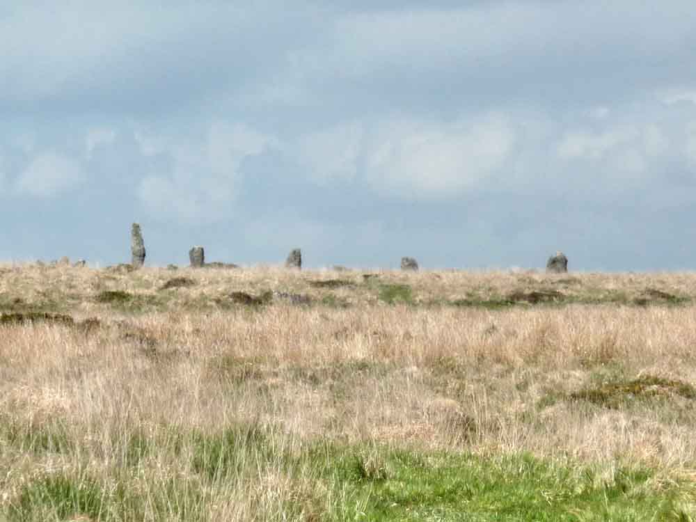
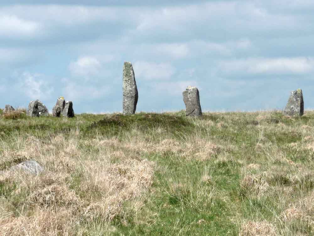
 |
 |
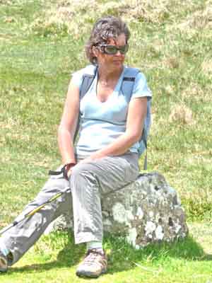 |
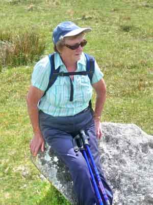
| Isobel | Jan | Moira |
 |
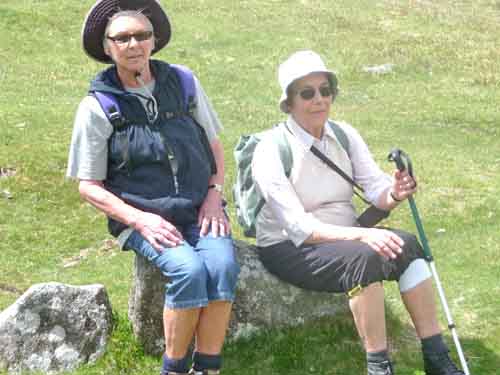 |
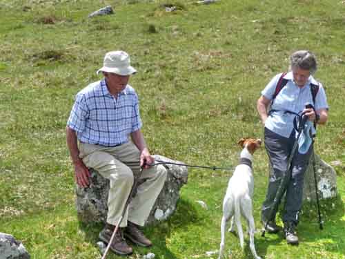
| Tim, Kay & Jess | Sue and friend |
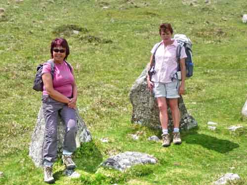
Suzi and Liz
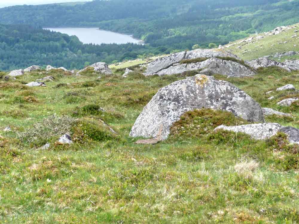
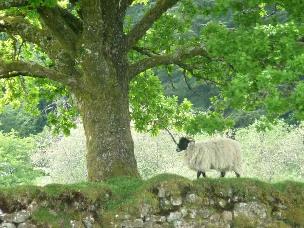
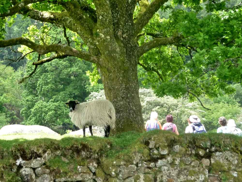
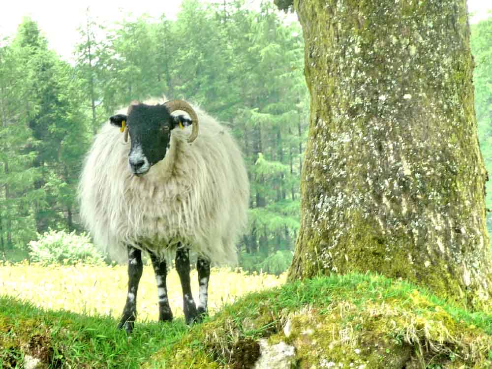
White sheep.
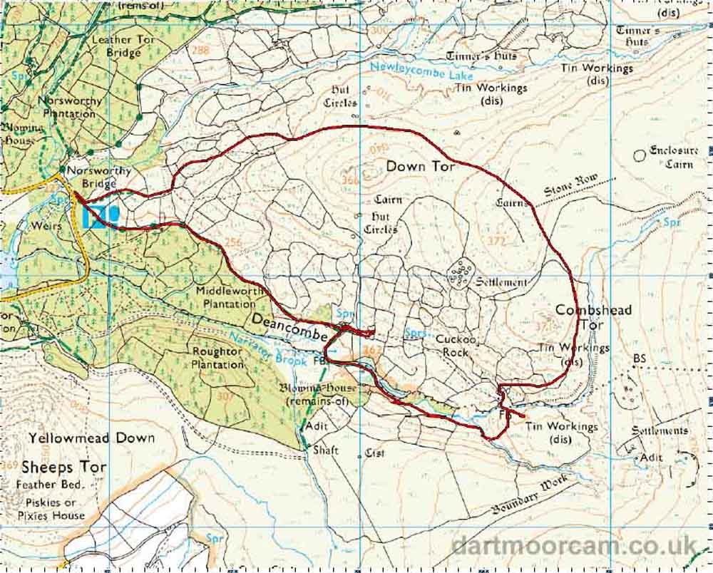
MAP: Red = GPS satellite track of the walk.
Ordnance Survey © Crown copyright 2005. All rights reserved. Licence number
100047373.
Also, Copyright © 2005, Memory-Map Europe, with permission.
Parking was at Norsworthy Bridge car park, the
P
symbol on the map. This is reached via the road from
Dousland, by driving past the dam around to the far end of the reservoir.
Statistics
Distance - 6.3 km / 3.85 miles.
All photographs on this web site are copyright ©2007-2016 Keith Ryan.