![]()


This walk: 2010-5-12. Smeardon Down car park, emergency shelter, Boulter's Tor, Great Combe Tor, bluebells, tormentil, dovecote, Colly Brook, Wedlake or Peter Tavy Brook, wid flowers, Spanish bluebells, dovecote, red valerian, Church of St. Peter, Peter Tavy, village cross, scaly male fern, gatepost, Longtimber Tor, River Tavy, Mary Tavy hydro-electricity power station, mould stone, mill stone, cider press, Thompson Turbine, mining artefacts of Devon United South Mine.
Walk details below - Information about the route etc.
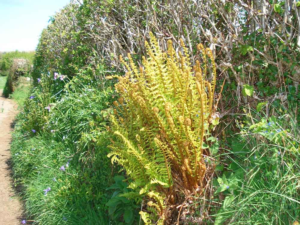
Believed scaly male fern, Dryopteris felis-mas, the scales on the stalk extend a long way up the frond.

Unidentified insect, on a crustose lichen.
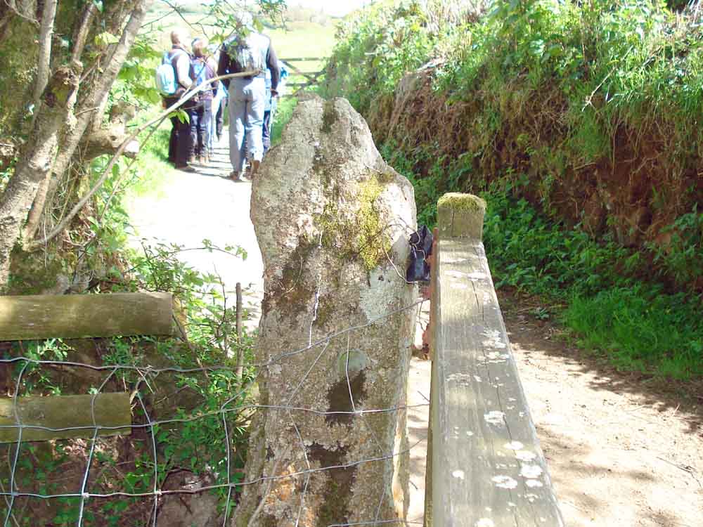
Hole in gatepost similar (but probably a little smaller than) to that found in a �gatehanger stone�.
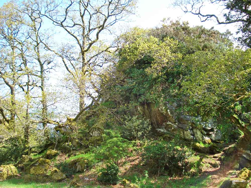
Longtimber Tor, SX 5094 7826 .................
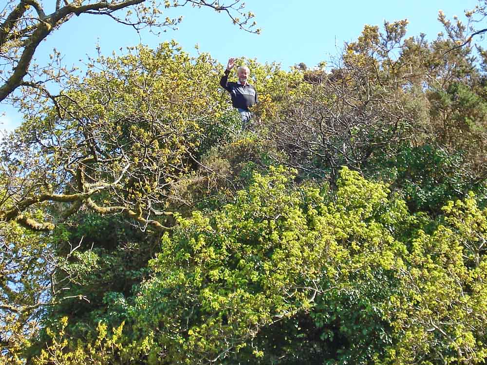
Conquered!
Confluence of the River Tavy (right) and Cholwell Brook plus water from the Mary Tavy hydro-electric power station (left).
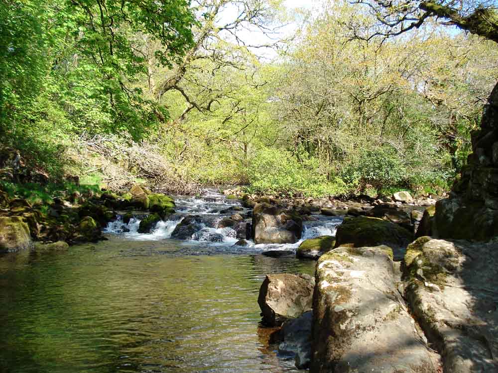
View up the River Tavy ......
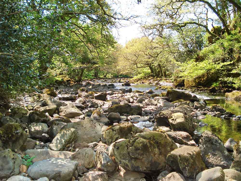
Across the river ......
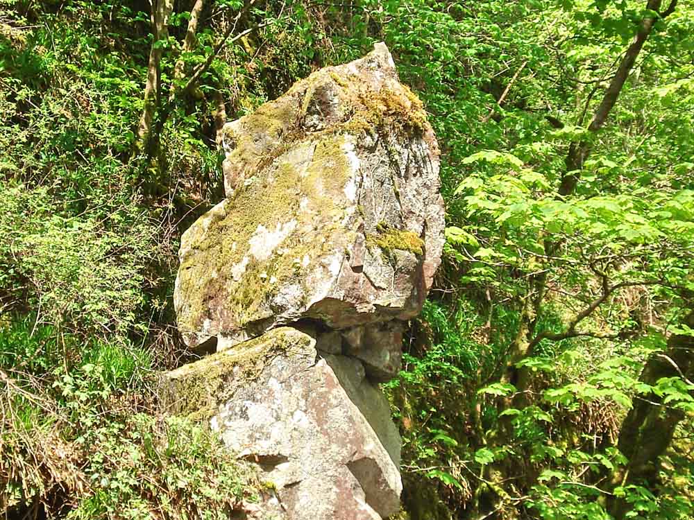
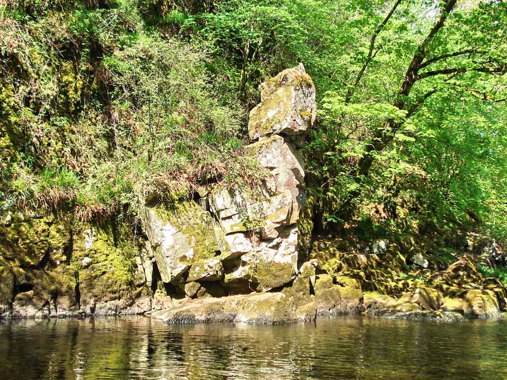
A seemingly precariously-balanced rock ......
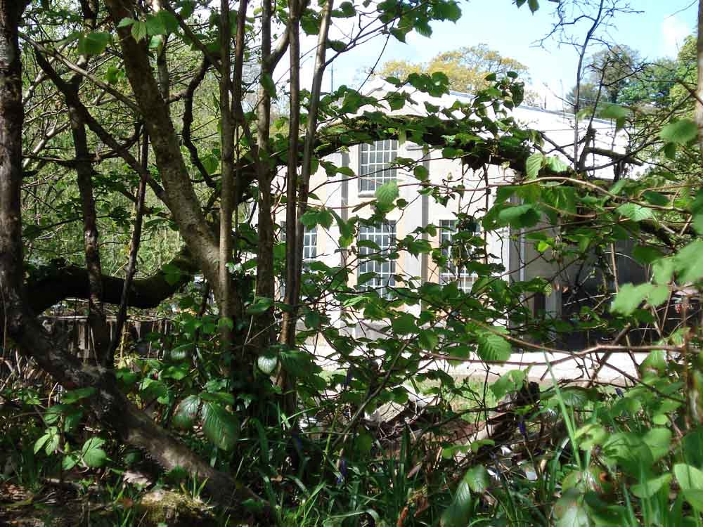
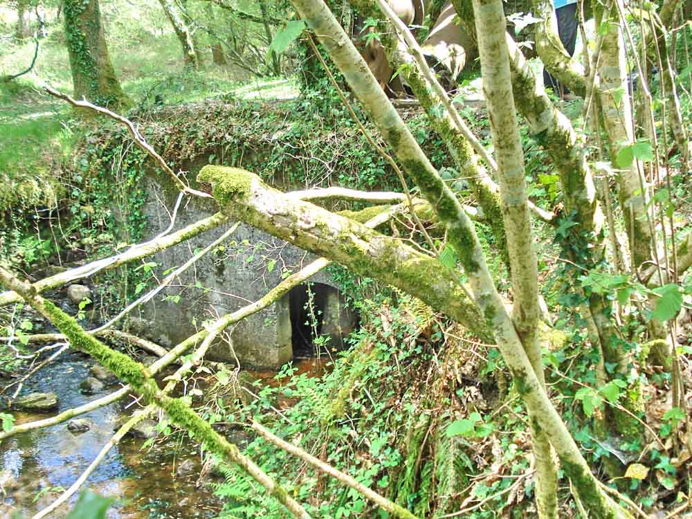
Looking into the power station .....
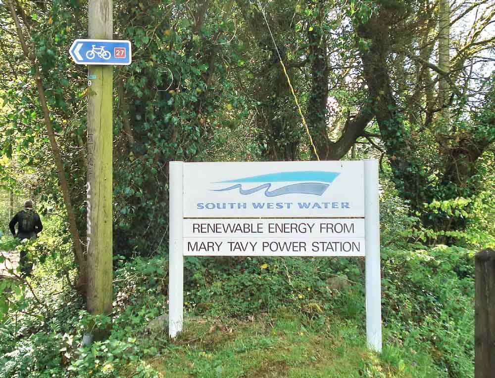
Entrance to the power station, beside the Sustrans National Cycle Route 27.
7. ??????????????
Tinners' mould stone with three trial moulds at the left end for assay ingots, salvaged from the river.
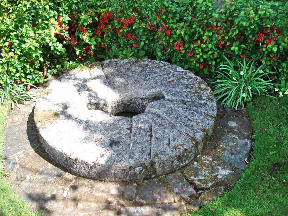
Millstone in a garden, showing the millrind.
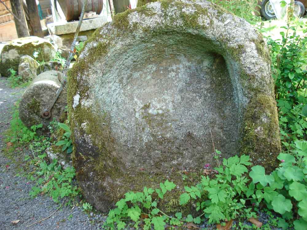
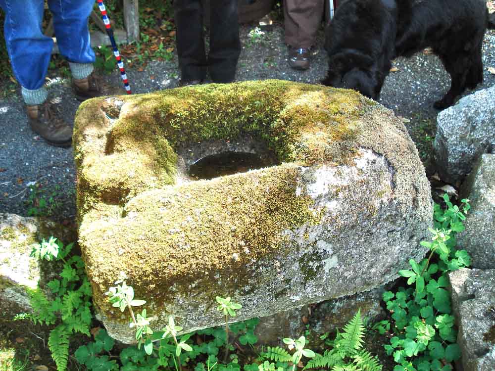
Up-ended granite trough, with a drain hole at the top-right corner.
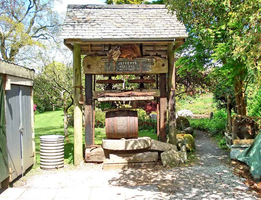
Garden feature � cider press: this was obtained locally and re-built here by the house owner. It�s a working apple crusher
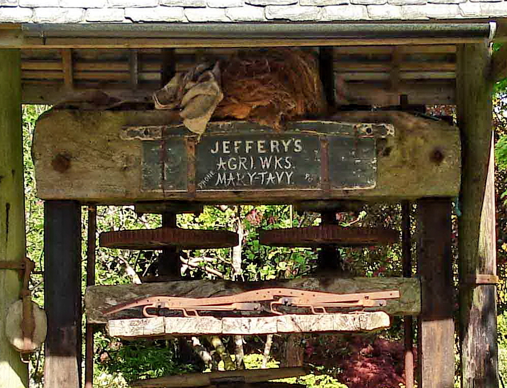
Close-up of the notice under the small roof.
 |
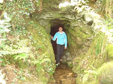 |
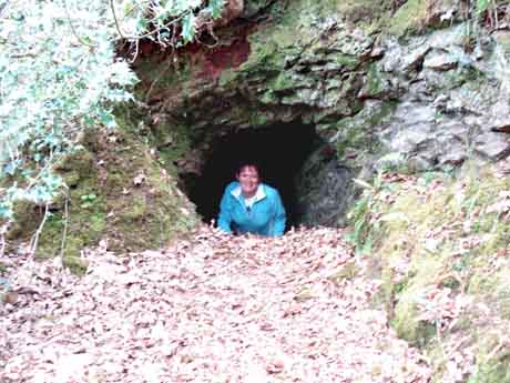
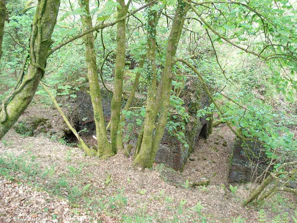
| Entrances to mining adits, unfortunately not in best focus ..... | |
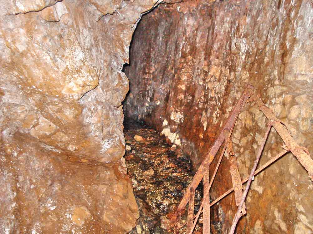
Inside an adit, a horizontal tunnel for mine drainage and access.

Devon United South Mine (while this is a Mary Tavy web site, it concedes that this mine was in Peter Tavy, being on the opposite bank of Chollwell Brook). A 6 foot diameter Thomson Turbine which powered a dynamo which provided electricity for various processes involved in the extraction of the tin ore. It also drove an air compressor, the remains of which can be seen lying in the tail race below the turbine.
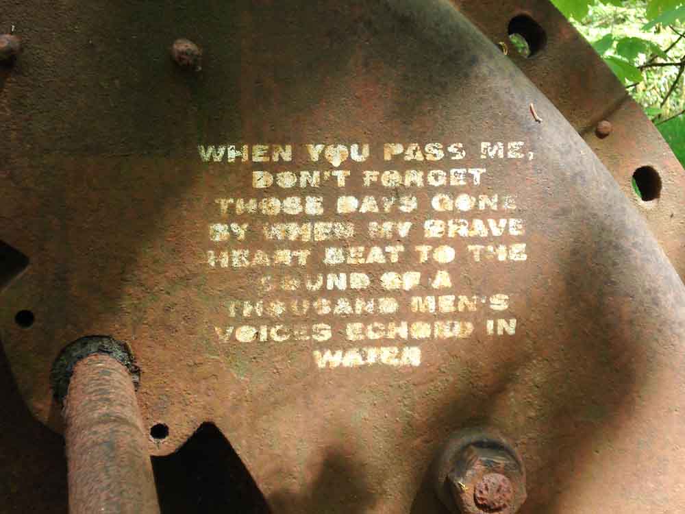
Close-up of the inscription on the previous photo of the Thomson Turbine: �When you pass me, don�t forget those days gone by when my brave heart beat to the sound of a thousand men�s voices echoed in water�
The the tail race from the water wheels further up the river; the remains of the compressor are in the water here More remains of the old buildings � one of the two calciners (the other is to the right) � seen clearly to the right hand side in the picture of the mine on the Mary Tavy link.
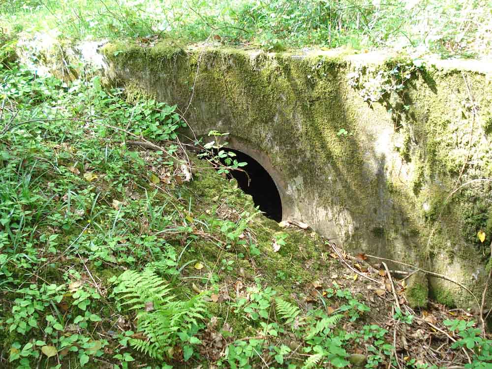
Entrance to the iron pipe from the head tank.
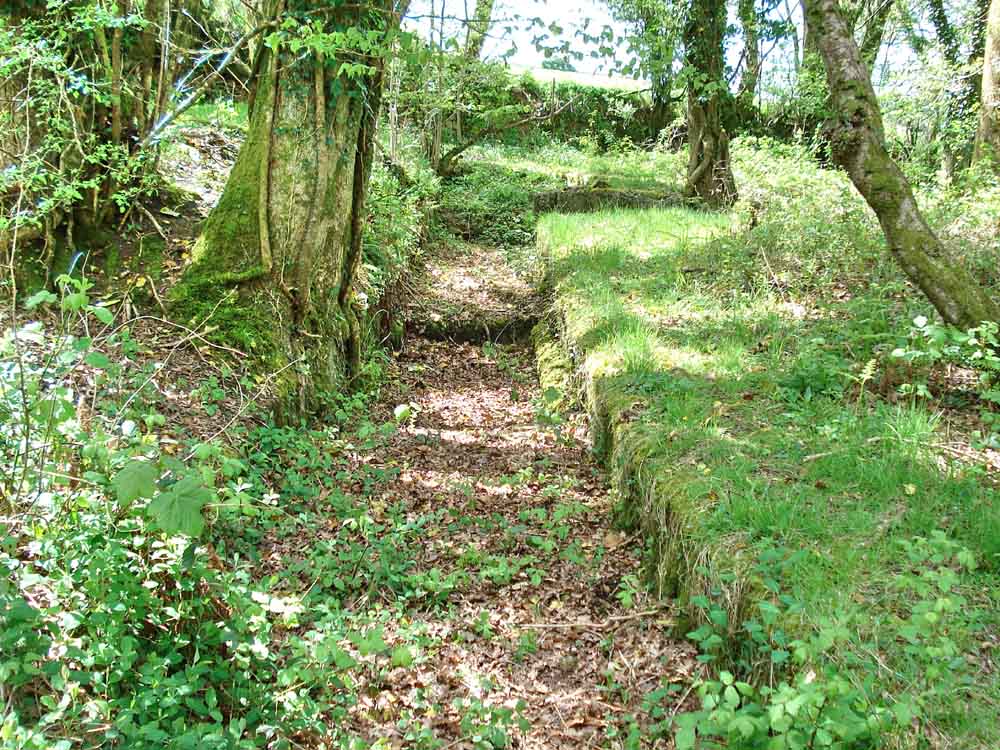
The leat.
More remains of the old buildings.
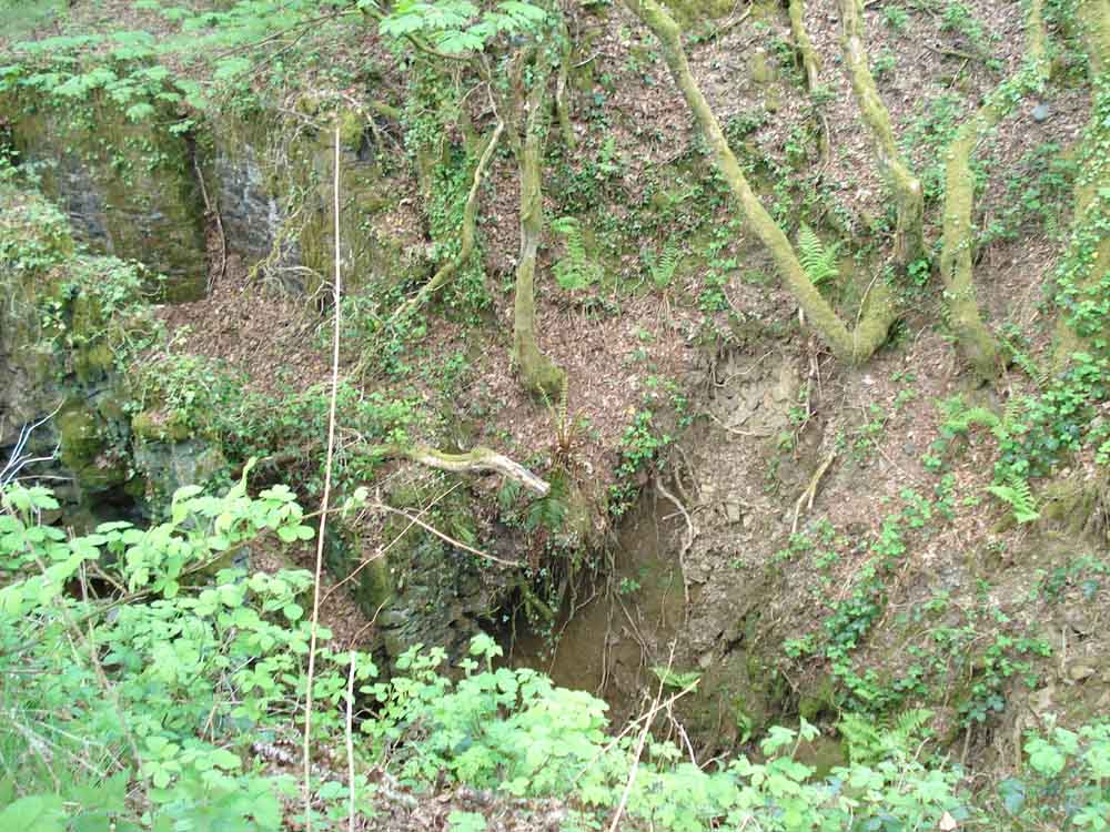
The entrance to a deep shaft: the main shaft, again seen clearly in the old photograph with the headframe above it.
MAP: Red = GPS satellite track of the walk.
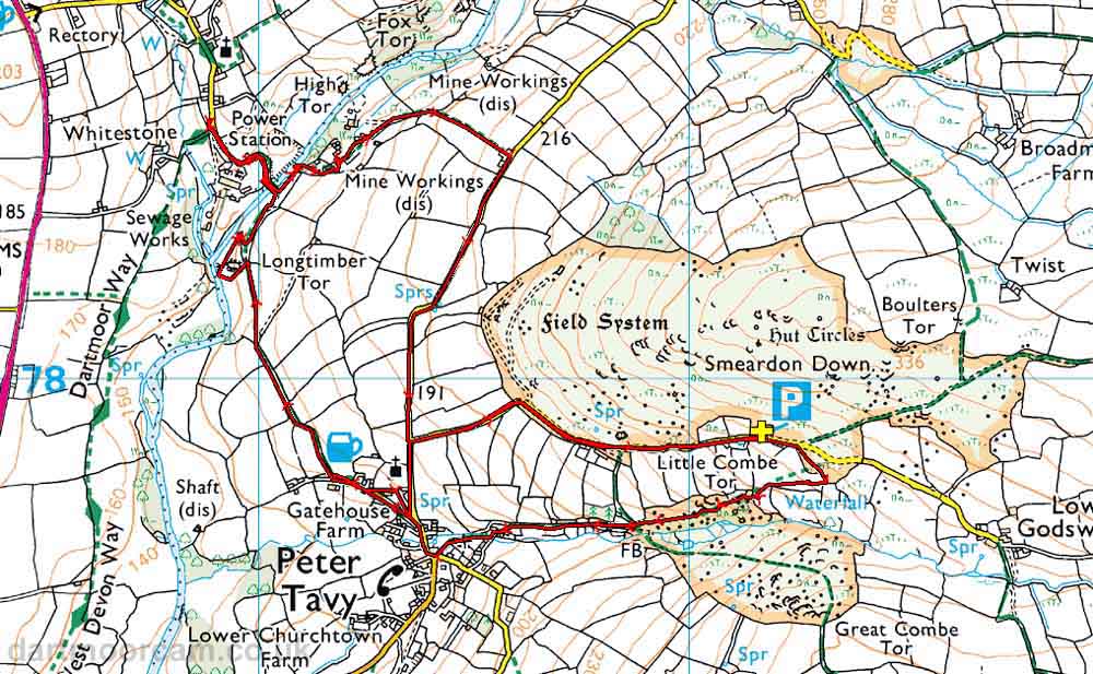
Ordnance Survey © Crown copyright 2005. All rights reserved. Licence number
100047373.
Also, Copyright © 2005, Memory-Map Europe, with permission.
The walk was accessed from Plymouth on the A386 via Tavistock to Peter Tavy. The roads off the main road are typical Dartmoor lanes, becoming quite narrow into Peter Tavy. After passing the church on your left, turn right up onto the moor and park in the small quarry, marked by the yellow cross and the P symbol on the map.
Statistics
Distance - 6.7 km / 4.2 miles
All photographs on this web site are copyright ©2007-2016 Keith Ryan.