![]()


This walk: 2011-10-7. Pork Hill car park sign, Cox Tor (originally Cock's Tor), RB stones, stone gate hangers, raven, Headless Farm Cross (Coxtor Cross), hummocks, cairn, trig. point, Beckamoor Dip, Great Staple Tor, Roos Tor, quarrymen's path stones, logan stone, granite markers, Great Mis Tor, Little Mis Tor, Middle Staple Tor, Little Staple Tor.
Walk details below - Information about the route etc.
This walk was done two days earlier, with a shorter route and in very misty conditions.

Pork Hill car park sign.
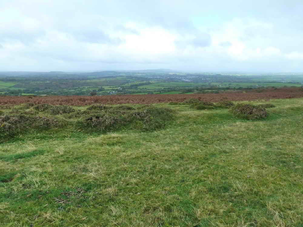
View towards Tavistock near the start of the walk.

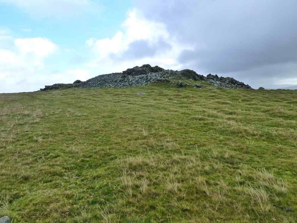
Looking up at Cox Tor (old name being Cock's Tor), SX 530 761, elevation 442 metres (1450 feet).
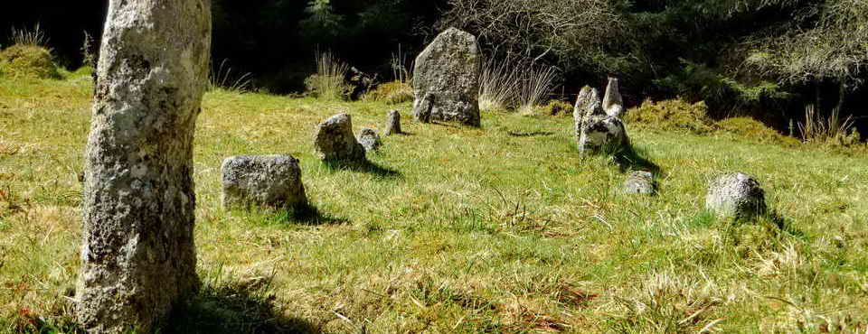
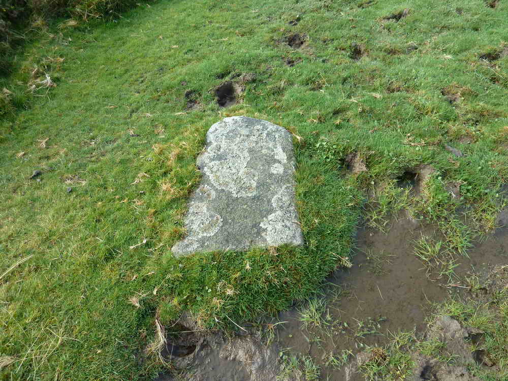
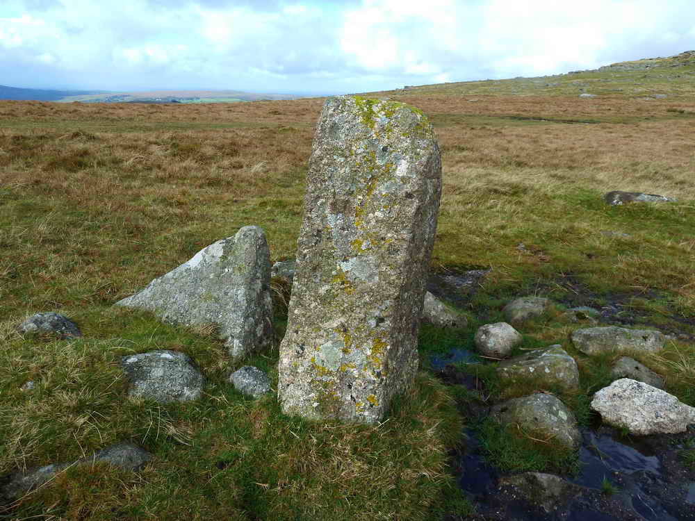
The following bound stones are part of the group of eight stones along an ancient reeve, described by Dave Brewer(2002) Dartmoor Boundary Markers, Halsgrove, pp. 195-196. Seven are RB stones along the Peter Tavy/Whitchurch boundary and there is another, not on the boundary. The most westerly one, no. 1, is no longer to be found. The "R" probably refers to the Radcliffes of Warleigh, former owners of seven farms in the area .....

RB stone "8" (?) at SX 52836 75394, the most easterly .....
RB stone 7 at SX 52791 75415.
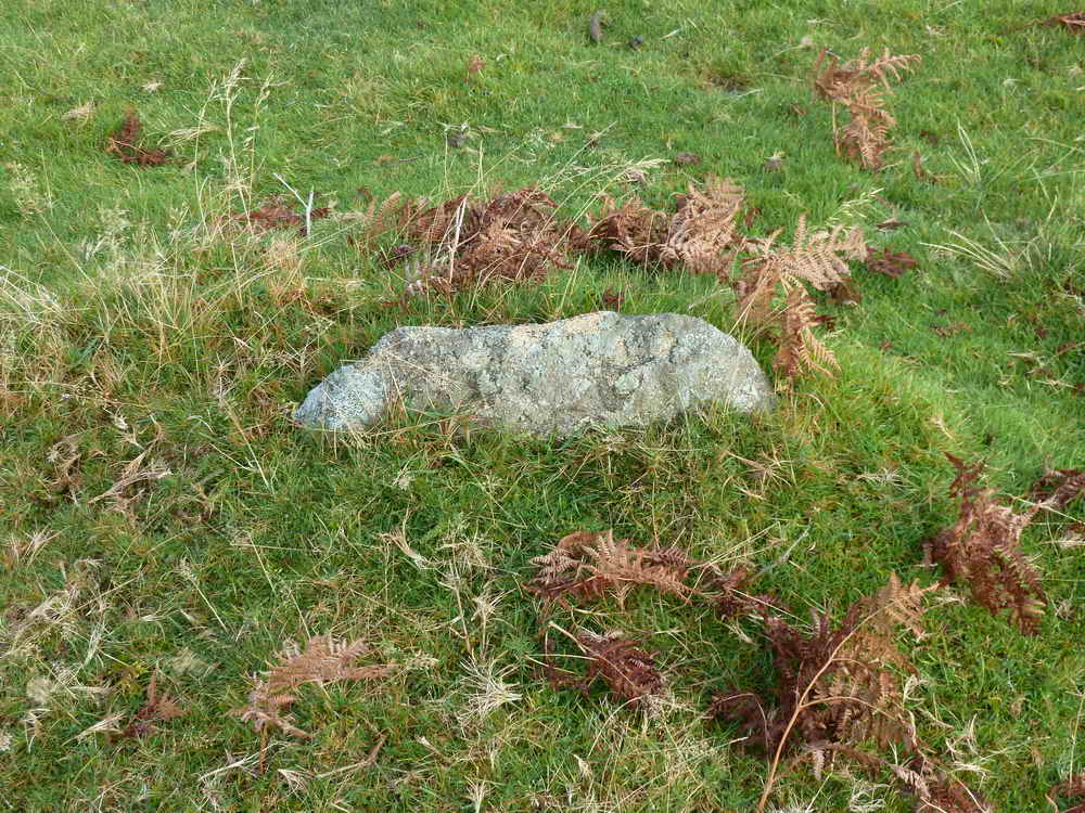
RB stone "6" at SX 52750 75424, broken off.

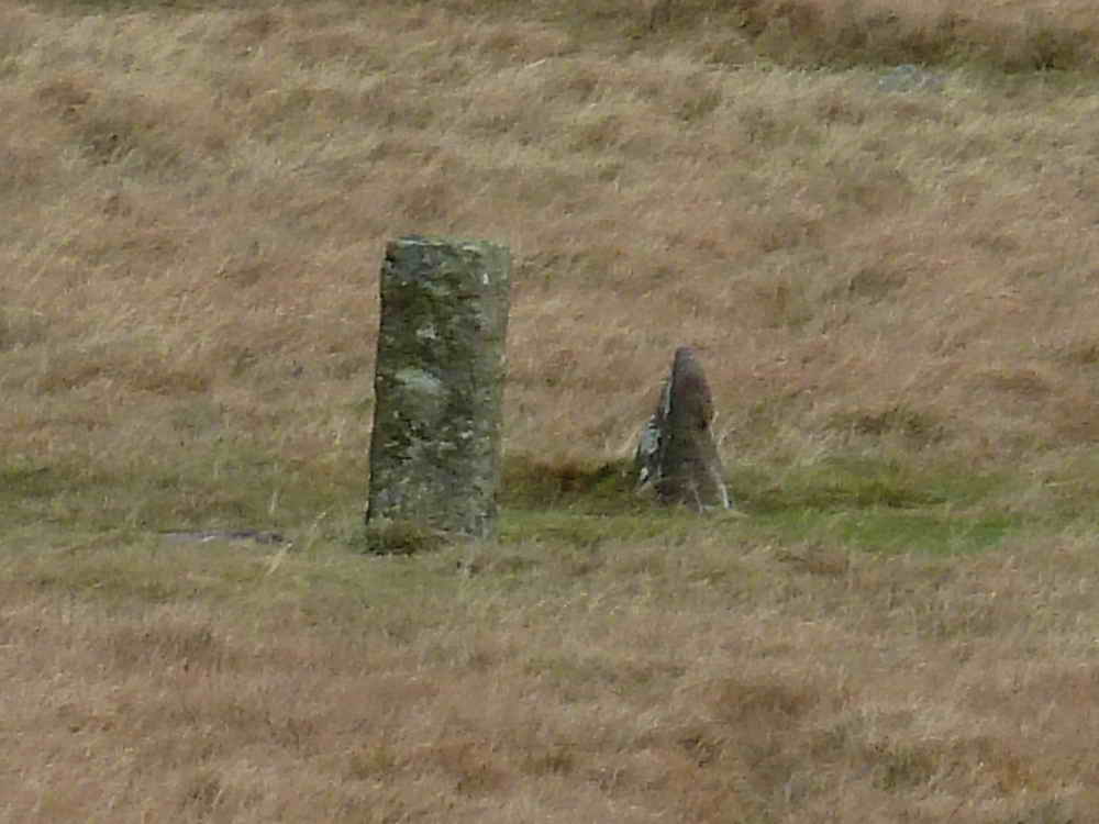
RB stone 4 at SX 52620 75417. This appears to be the pyramidal no. 4 depicted in the Brewer book.
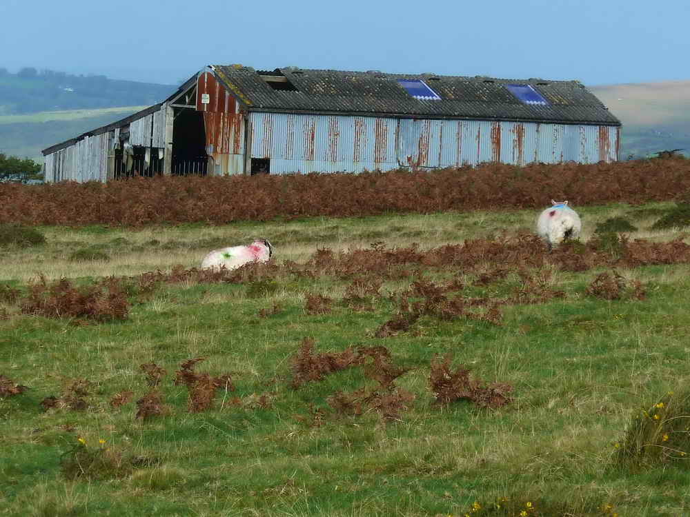
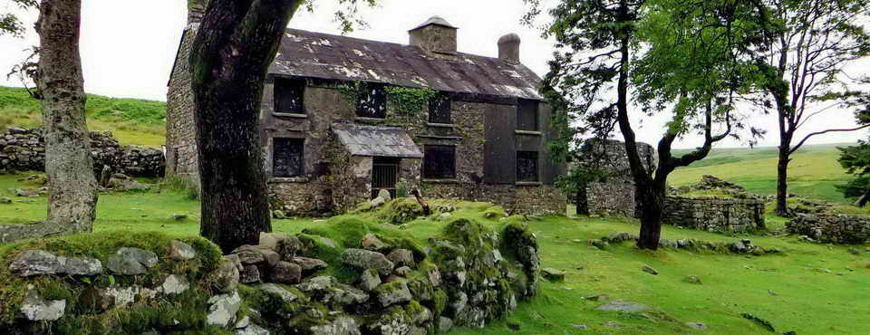
Nearby barn at Cox Tor Farm.
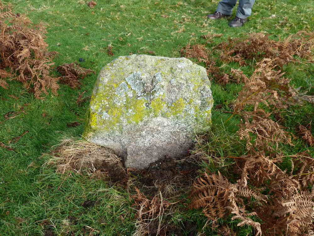
RB stone "3" at SX 52546 75422.

A split and twisted hawthorn tree, probably had a hard life!

Gate with a stone gate hanger at SX 52171 76240 .....

Another view of the hanger stone .....

Another view of the base of the gate .....

From the other side .....

Overview, we then went through the gate into the short stony lane that joins a farm road going downhill .....

Raven.

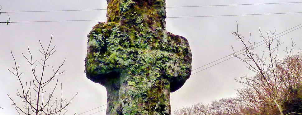
Headless Farm Cross, missing one arm, probably moved and placed in the hedge at SX 51645 76165 ..... This cross is recorded as Coxtor Cross by Bill Harrison (2001) Dartmoor Stone Crosses, Halsgrove, page 197 .....
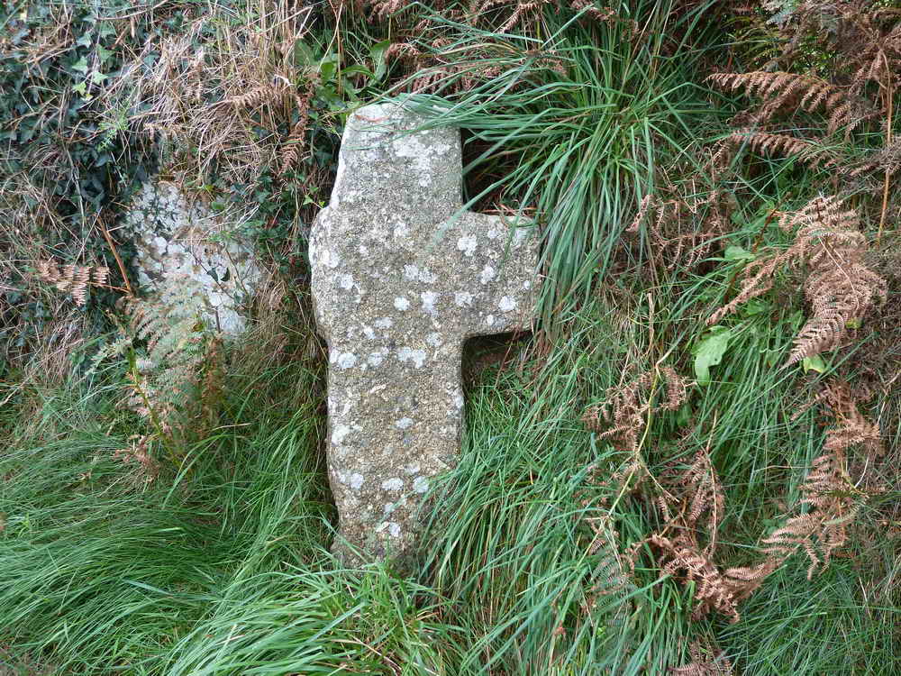
Closer view.

A lonely sod growing in the middle of the lane.
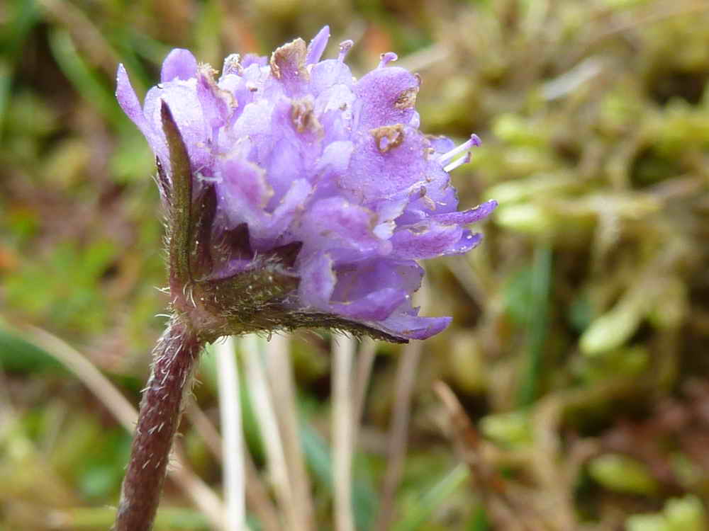
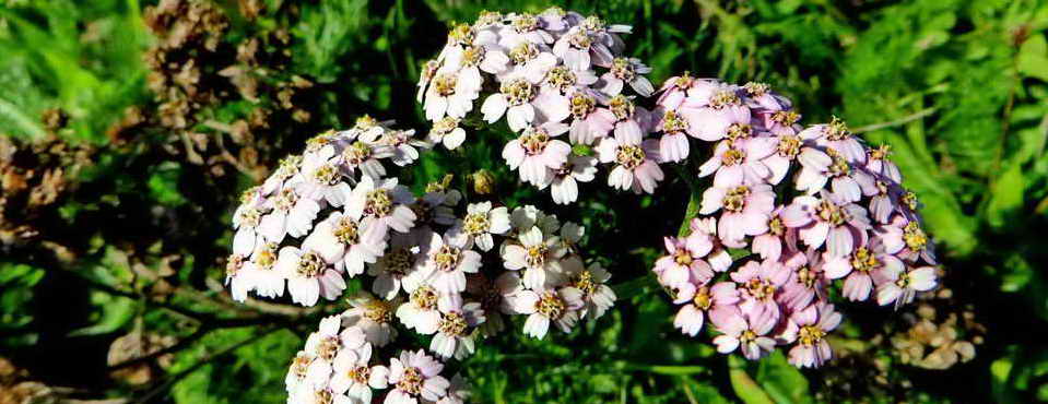
One of the last flowers of the year - any ideas?

As previous photo.
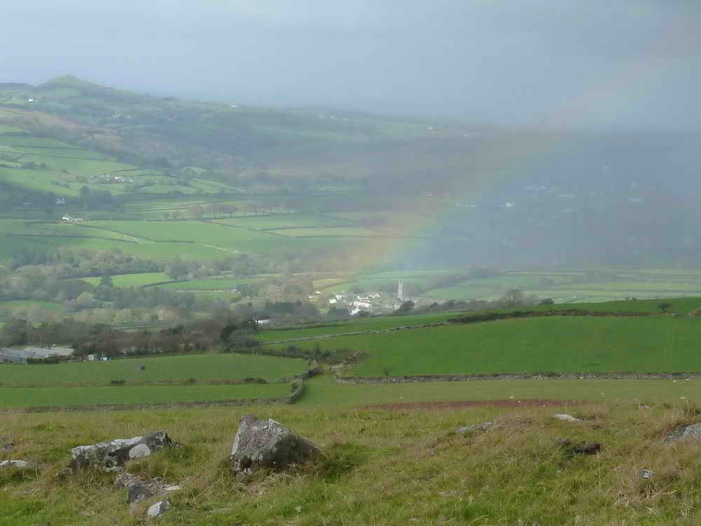
Rainbow's end, Peter Tavy!
View towards Cornwall.
Looking up at Cox Tor (forgot Little Cox Tor).
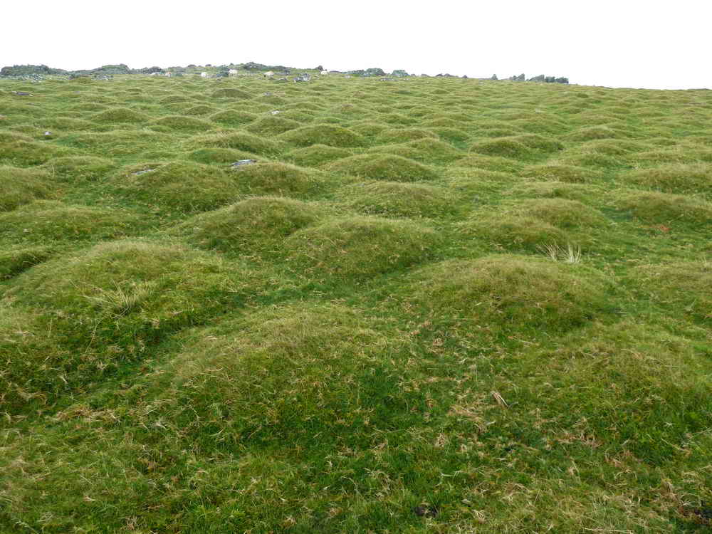
Cox Tor is noted for its widespread hummocks, 1,000s of them: we thought this is clitter stones covered by soil because in some areas they are often exposed - this appearance is intriguing. According to John Hayward (1991) Dartmoor 365, Curlew Publications, page 203, these are not ant hills, mole hills or buried stones. An update to this caption was written on 19th Dec. 2014: apparently they are THUFURS! These are small mounds of periglacial origin, found around the edge of glaciated regions where seasonal freezing and thawing induces a particular type of soil "heave". A more complete explanation, from "A Dartmoor Blog" ...........
"A special form of cryoturbation is represented by earth hummocks or thufur, they are vegetated oval mounds with heights of 30 to 50 cm. Earth hummocks develop because of local patchy freezing of pore-water in the active layer, yet no pure ice core forms but a small proportion of the soil freezes. This core of frozen ground causes moisture migration towards it, concurrently causing a small scaled displacement of soil material in the same direction. Frost heaving leads to the development of a small mound, and as the freeze/thaw processes re-occur many times, this displacement is amplified."
The growth of ice crystals at high sub-zero temperatures is described in Ryan, K.P. (1991), Rapid cryogenic fixation of biological specimens for electron microscopy. Plymouth: Polytechnic South West (now University of Plymouth). 303p. (PhD Thesis). See Chapter 10, The effect of exposure to subzero processing temperatures, pages 200-210. A similar effect regarding ice crystal growth is seen in ice cream kept in a domestic freezer for too long, when ice crystals form and then grow into large, crunchy "bits". As the Dartmoor soil froze then ice crystals would have grown and displaced soil particles; this effect would have relaxed somewhat after thawing, only to occur again with the next period of freezing. The result was a cumulative formation of the hummocks, or thufurs, perhaps over several decades as the climate warmed and the last "Ice Age" ended.

The large cairn at SX 529 763.
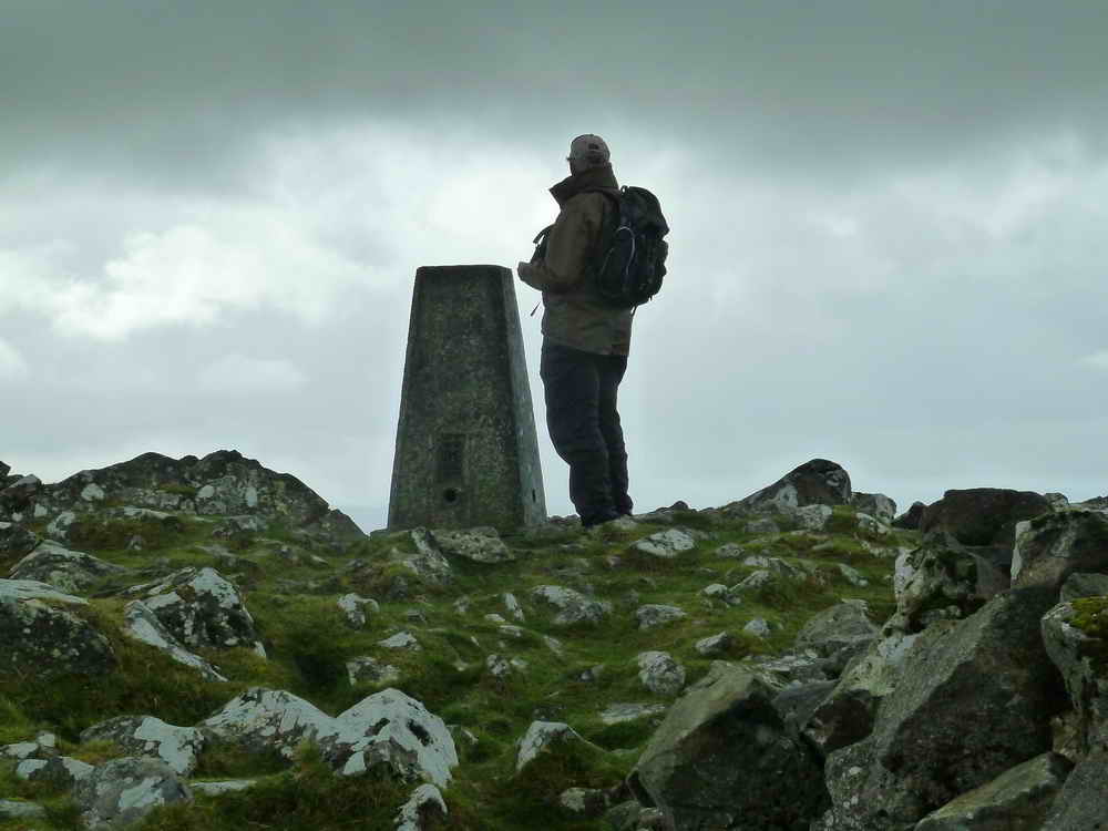
The trig point on Cox Tor.

Looking across the shelter built into the cairn on Cox Tor to the other large cairn (see previous photo), with the rain falling heavily.
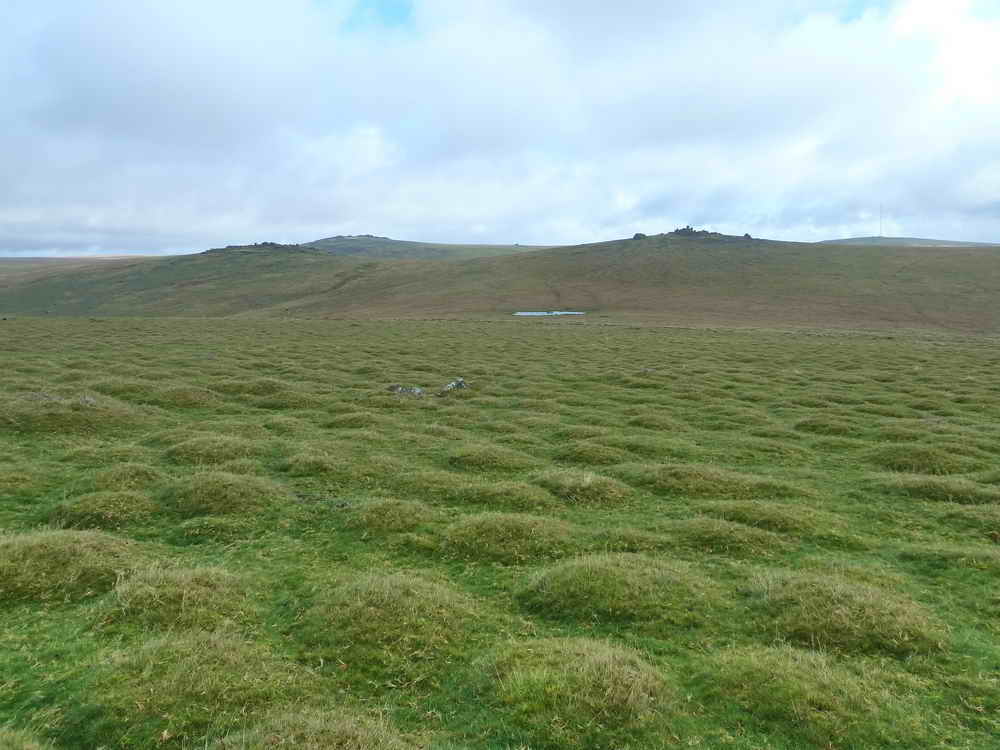
A view of the other (east) side of Cox Tor down towards Roos Tor (lower left), Great Mis Tor (upper left) and Great Staple Tor (right of cente) with Beckamoor Dip in the centre.

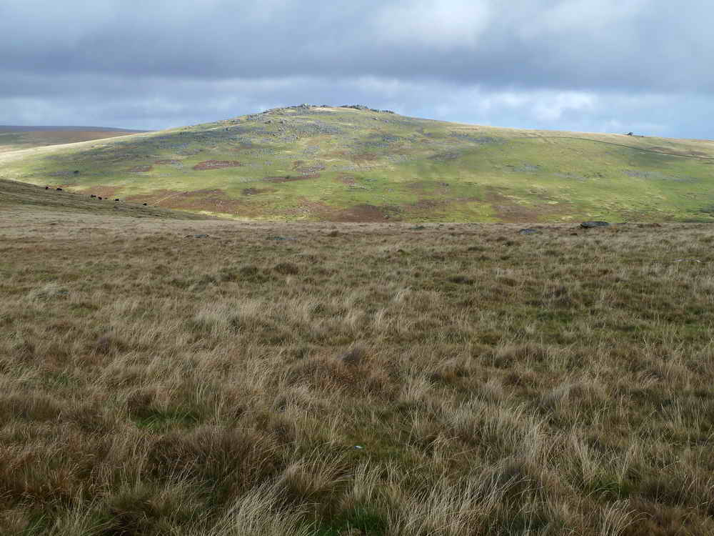
Looking up at Great Staple Tor.

Zoomed view back to Cox Tor.

Unusual view of Great Staple Tor, across Beckamoor Dip.

Beckamoor Dip, between Cox Tor and Roos Tor.

Part of a row of stones that are probably part of the quarrymen's road between Merrivale and Peter Tavy .....

Close-up of some of the slabs .....

The row of buried flat stones runs north-west to south-east, marked here as a sidetrack on the blue GPS track more or less on the line of the bridleway.

Zoomed view to Roos Tor, with the Logan Stone just left of centre and the MOD flag pole to the right: SX 543 766, elevation 454 metres (1489 feet).
Roos Tor again.

Great Staple Tor, SX 542 760, elevation 455 metres (1492 feet).

Two markers signifying the limits for the taking of granite around Roos Tor. The original 14 marks were the bisected circle on cut into natural rocks around the tor. Later, these were reinforced with the square pillars bearing the letter 'B', erected by the Duke of Bedford, so there could be no excuse for taking granite from the tor.

Closer view.

The logan stone on Roos Tor.
Roos Tor logan stone.
Roos Tor logan stone.

Roos Tor logan stone.
Zoomed view to another marker (or pair of markers).

Great Staple Tor from Roos Tor.

P = Peter Tavy parish boundary .....
On the other face W = Whitchurch parish.
Looking across to Great Mis Tor with Little Mis Tor on the ridge, near the right edge.

Looking back at Roos Tor.

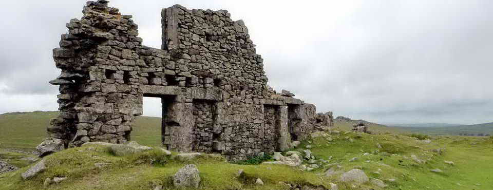
Rock pile at Great Staple Tor.
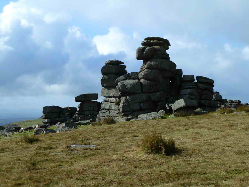
As previous photo.

Another part of Great Staple Tor.

View to Middle Staple Tor, SX 540 756, elevation 431 metres (1414 feet).

Looking back at Great Staple Tor.

Another view back to Great Staple Tor.
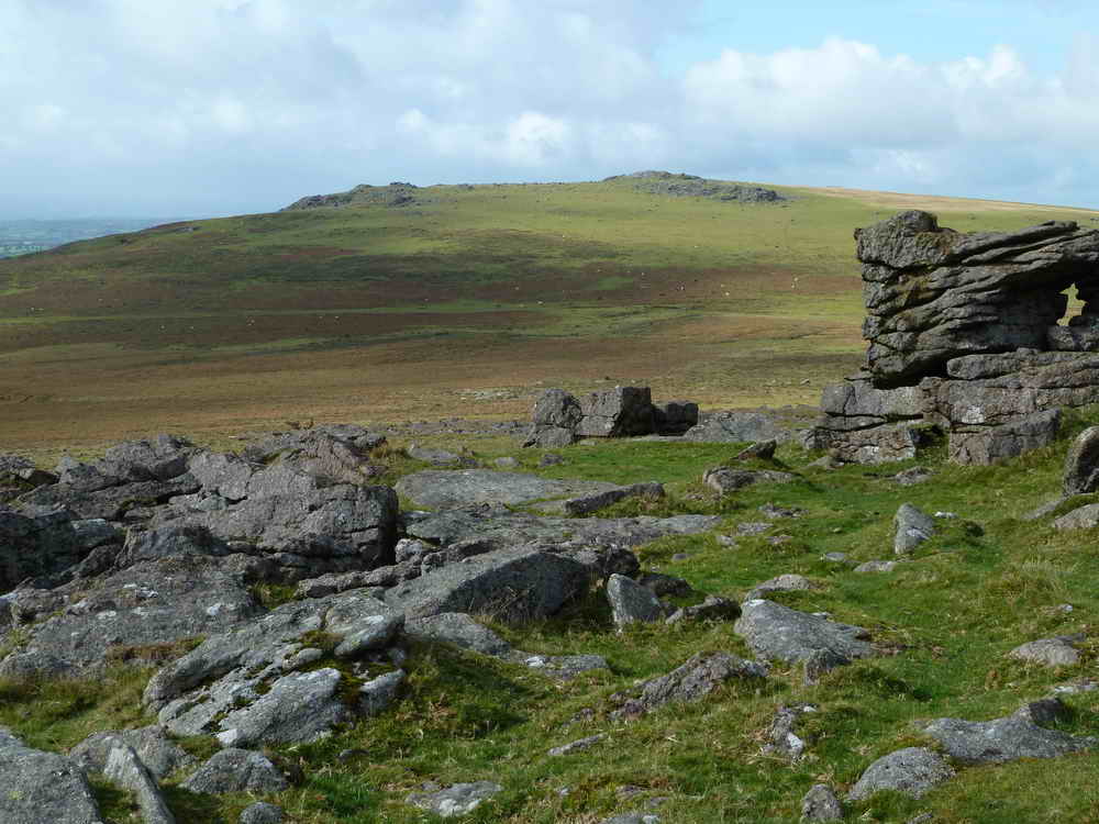
From Middle Staple Tor across to Cox Tor, with Little Cox Tor on the left.

Zoomed view to Little Staple Tor, SX 538 754, elevation 380 metres (1246 feet).

A final look back to Cox Tor.
MAP: Red = GPS satellite track of the 5th Oct walk, Blue = track of the 7th Oct walk.
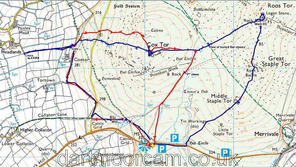
Ordnance Survey © Crown copyright 2005. All rights reserved. Licence number
100047373.
Also, Copyright © 2005, Memory-Map Europe, with permission.
This walk was reached by finding the Pork Hill car park on the road between Tavistock and Two Bridges, marked by the P symbol and yellow cross on the map. This is a large car park on the south side of the road.
Statistics
Distance - 8.8 km / 5.5 miles
All photographs on this web site are copyright ©2007-2016 Keith Ryan.