![]()


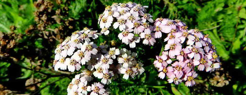
This walk: 2011-10-5. A misty walk. RB stones, gate hanger stone, Cox Tor (formerly Cock's Tor).
Walk details below - Information about the route etc.
The walk was repeated two days later (7th October) on a day with with better visibility and sunny periods, also showers that were so heavy that we sheltered behind rocks!
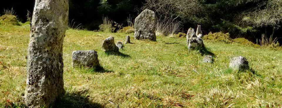
The following bound stones are part of the group of eight stones along an ancient reeve, described by Dave Brewer (2002) Dartmoor Boundary Markers, Halsgrove, pp. 195-196. Seven are RB stones along the Peter Tavy / Whitchurch boundary and there is another, not on the boundary. The most westerly one, no. 1, is no longer to be found. The "R" probably refers to the Radcliffes of Warleigh, former owners of seven farms in the area .....

RB stone "8" (?) at SX 52836 75394, the most easterly .....
RB stone 7 at SX 52791 75415.

RB stone "6" at SX 52750 75424, broken off.
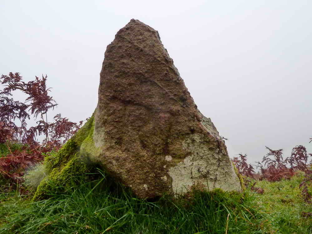
RB stone 4 at SX 52620 75417. This appears to be the pyramidal no. 4 depicted in the Brewer book.

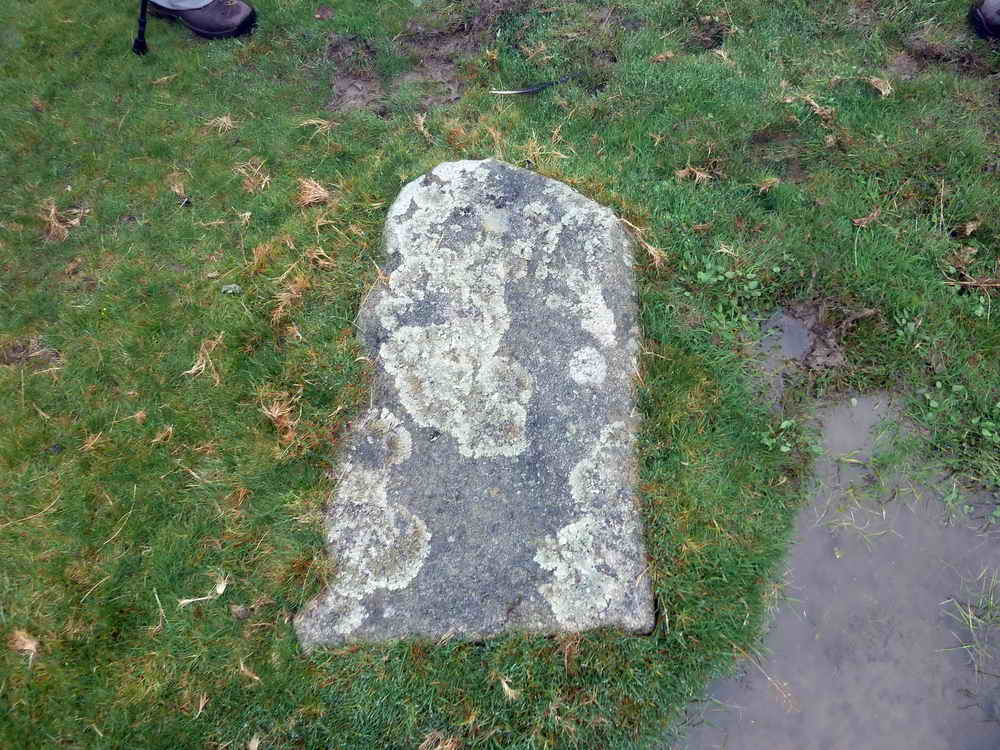
RB stone "3" at SX 52546 75422.

Gate hanger stone at SX 52171 76240, the only working example on the moor. There is another re-used, gate hanger stone here: http://www.dartmoorcam.co.uk/cam/previouswalks/2011-2-2_WindTor/windtor.htm, near the bottom of the page.
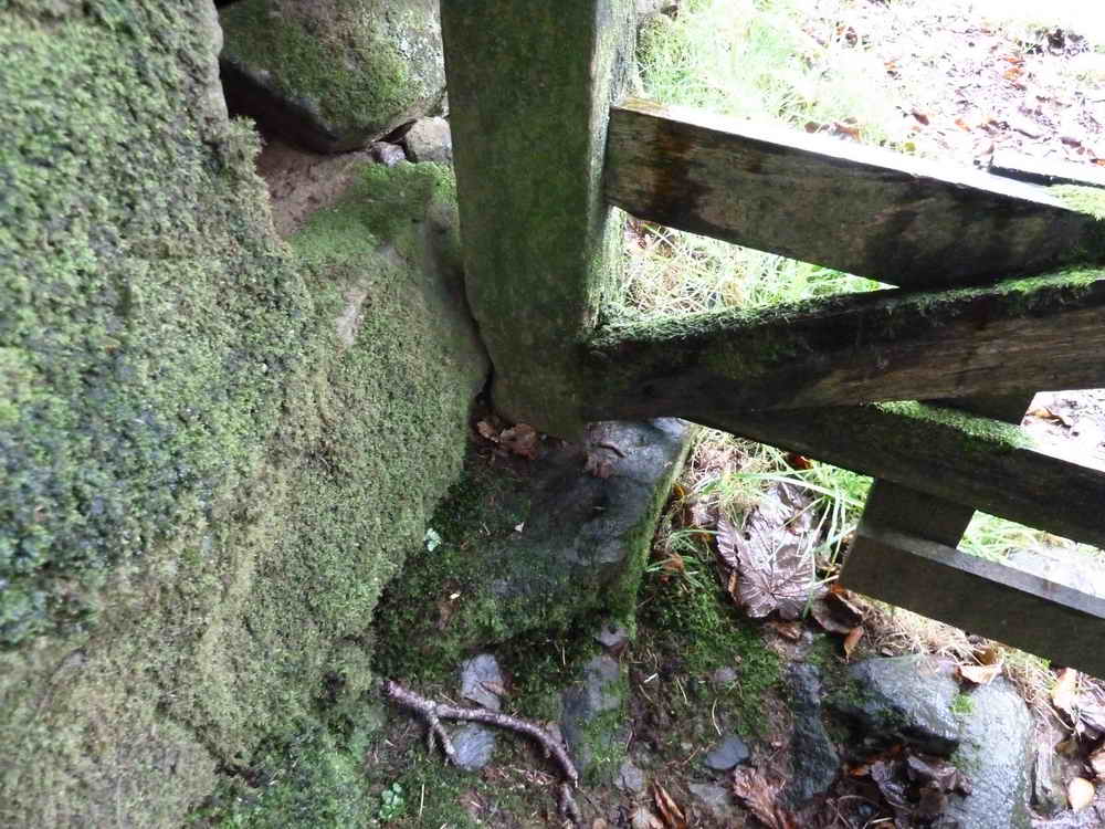
The base of the gate, also set in a stone.
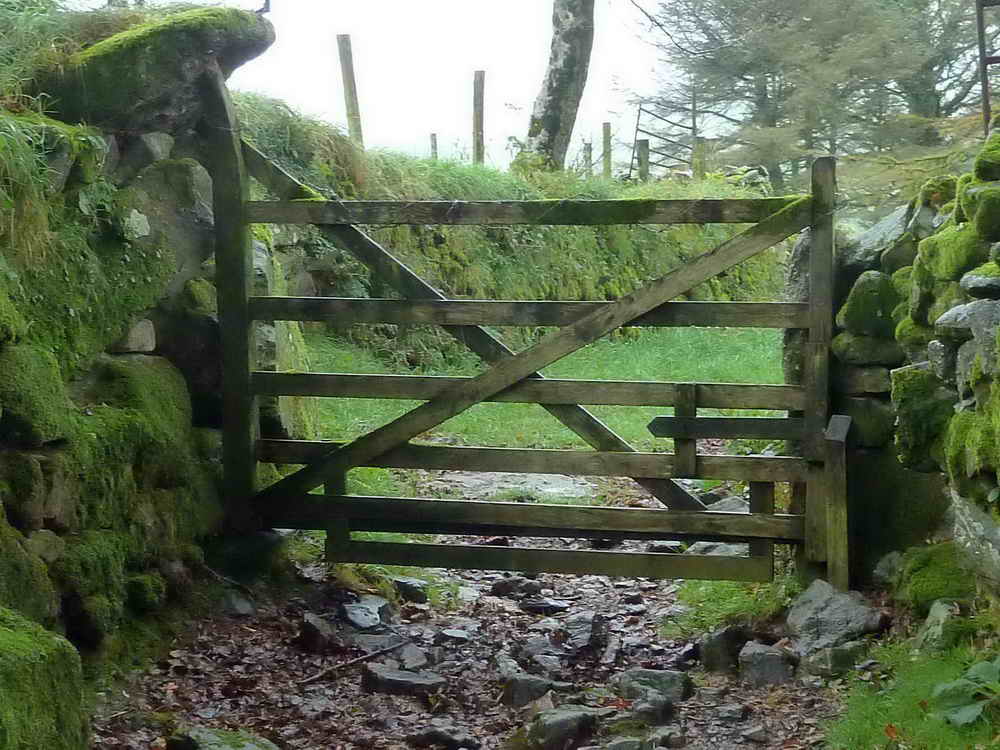
General view of this now rather special gate.

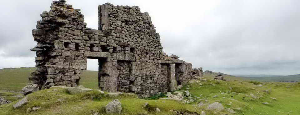
Black Tor (not on the maps), over on the left as we climbed Cox Tor, over near Stephen's Grave.

Rocky outcrop en route to a cairn.

Approaching Cox Tor, SX 530 761, elevation 442 metres (1450 feet) .....
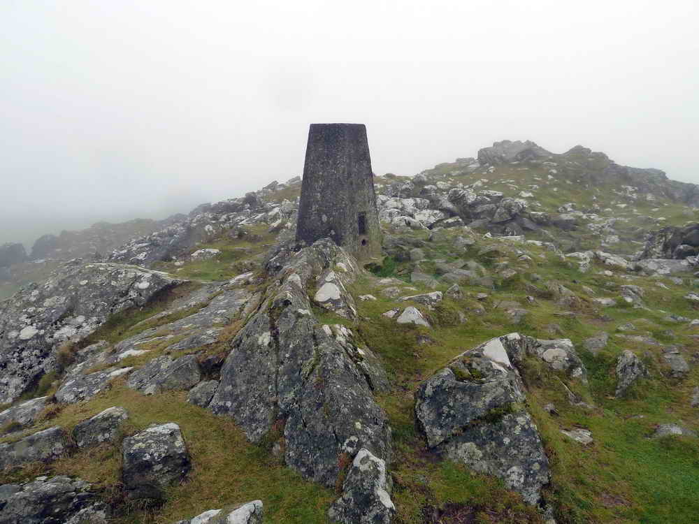
Cox Tor trig. point - the tor is composed of dolerite, not granite.

The PW stone, aka Flat Rock or Black Rock, seen beside the track at SX 53453 75952 .....
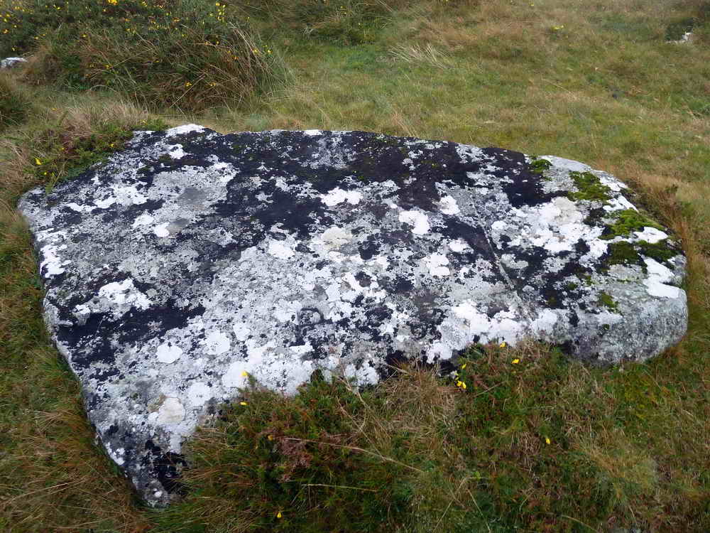
PW stone, at SX 53453 75952 ..... this is the stone described by Dave Brewer(2002) Dartmoor Boundary Markers, Halsgrove, pp. 158 thus, after describing the stones above: "The line then bends north-easwards to a Boundary Rock near Beckamoor Head at SX 5345 7595 called Flat Rock or Black Rock bearing the letters 'P' and 'W' on the appropriate sides of its flat top" - P signifying Peter Tavy and W signifying Whitchurch parishes. The 'W' can be seen (upside-down) on the far edge of the stone, opposite the 'P' .....

'P' and 'W' - marked .....
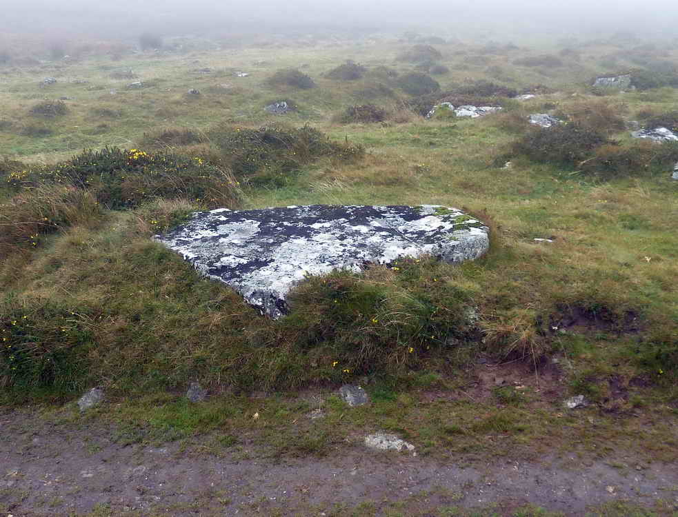
PW stone.

View display at the west end of the car park on which Merrivale is misspelt, unveiled by Prince Charles.
MAP: Red = GPS satellite track of the 5th Oct walk, Blue = track of the 7th Oct walk.
The map below shows two tracks - the red track is from today's walk, the blue track is from a walk on 7 Oct, two days later.
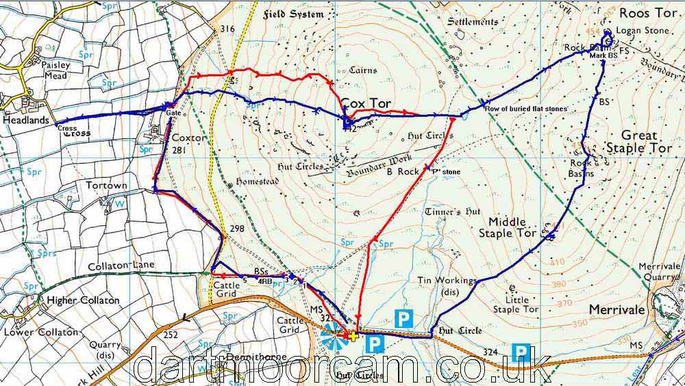
Ordnance Survey © Crown copyright 2005. All rights reserved. Licence number
100047373.
Also, Copyright © 2005, Memory-Map Europe, with permission.
This walk was reached by finding the Pork Hill car park on the road between Tavistock and Two Bridges, marked by the P symbol and yellow cross on the map. This is a large car park on the south side of the road.
Statistics
Distance - 5.08 km / 3.16 miles
All photographs on this web site are copyright ©2007-2016 Keith Ryan.