![]()


This walk: 2010-7-23. Four Winds, Yellowmeade Farm, Red Cottages, TA stone, tramway setts, Longash Common, King's Tor, Foggin Tor Quarry, quarrymen's cottages, monuments to quarrying, Swell Tor Quarry, quarrying remains, Plymouth & Dartmoor Railway, discarded London Bridge corbels, railway cutting, Merrivale Quarry, logan stone, Longash Brook, ford, stepping stones, Longstone, Great Staple Tor, Merrivale stone rows, cists, hut circle, Great Mis Tor, apple crusher.
Walk details below - Information about the route etc.
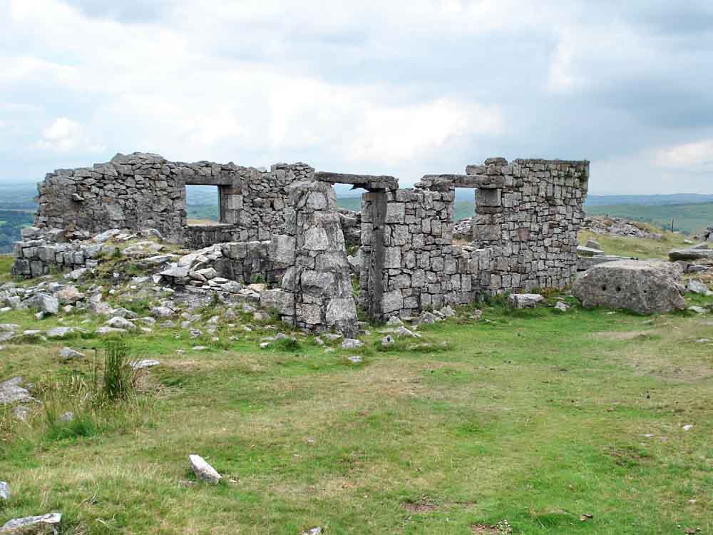
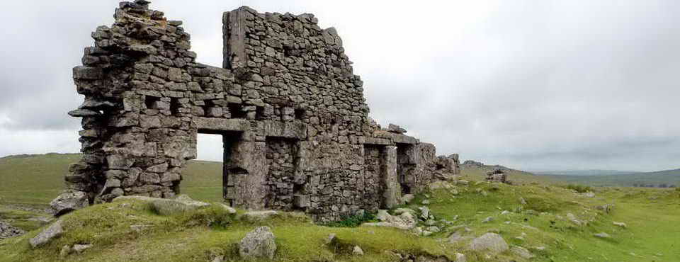
Another impressive monument to quarrying .....

Loading bank (right) and waste heaps (left) on the Plymouth & Dartmoor Railway siding .....
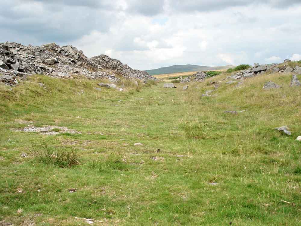
Looking north-west along the railway line .....
Shaped granite, discarded .....
More waste beside the track .....
Looking south-east up therailway line, the indentations caused by the removal of track sleepers are clearly visible .....
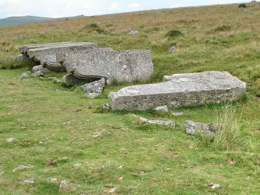
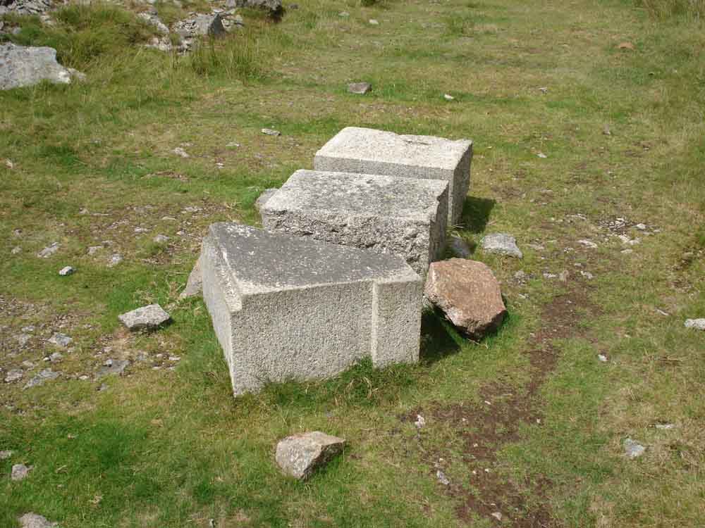
"A few corbels short of a bridge" - surplus corbels left in place after the 1902-04 widening of London Bridge (opened 1831), this was the bridge sold in 1967 to an American. In 1896, "it was estimated that the bridge was the busiest point in London, with 8,000 people crossing the bridge by foot and 900 crossing in vehicles every hour.[1] London Bridge was widened in 1902�04 from 52 to 65 feet (16 to 20 m), in an attempt to combat London's chronic traffic congestion. A dozen of the granite "pillars" quarried and dressed for this widening, but unused, still lie near Swelltor Quarry" : Source - Wikipedia. It has been said that while there were a dozen corbels originally, a few were sent as spares to America when the bridge was moved - there are twelve remaining.
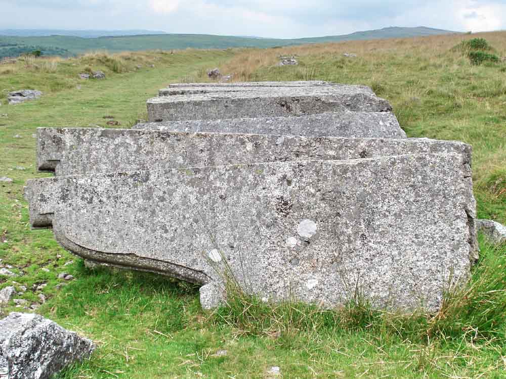
Another view of the corbels.
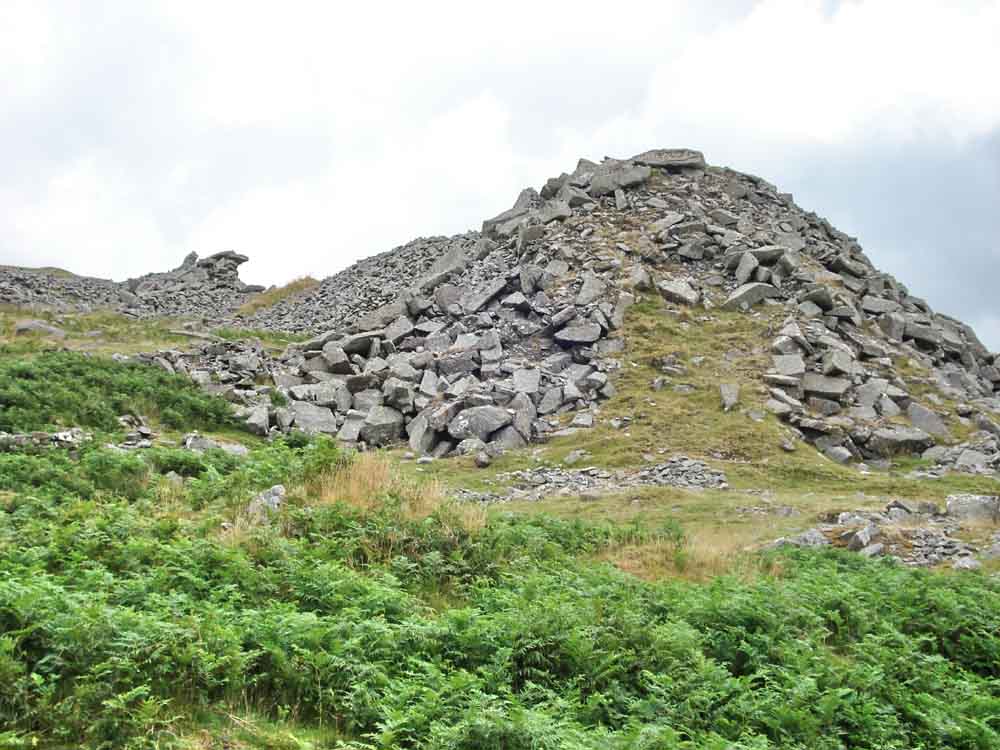
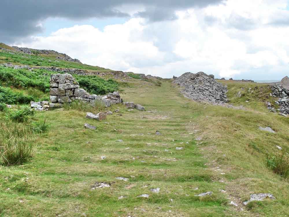
The track bed of the dismantled Plymouth & Dartmoor Railway (opened 1823, closed 1956) looping around Little King's Tor .....
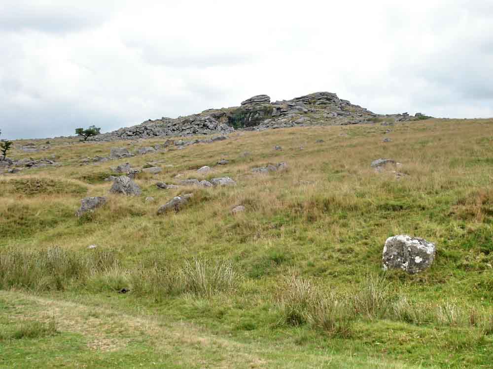
A different view of King's Tor .....
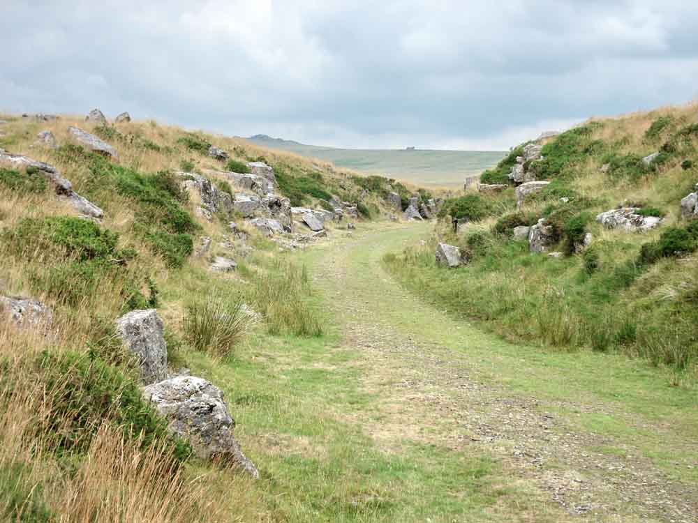
The railway cutting into King's Tor, whereas the old tramway went around the outcrop .....
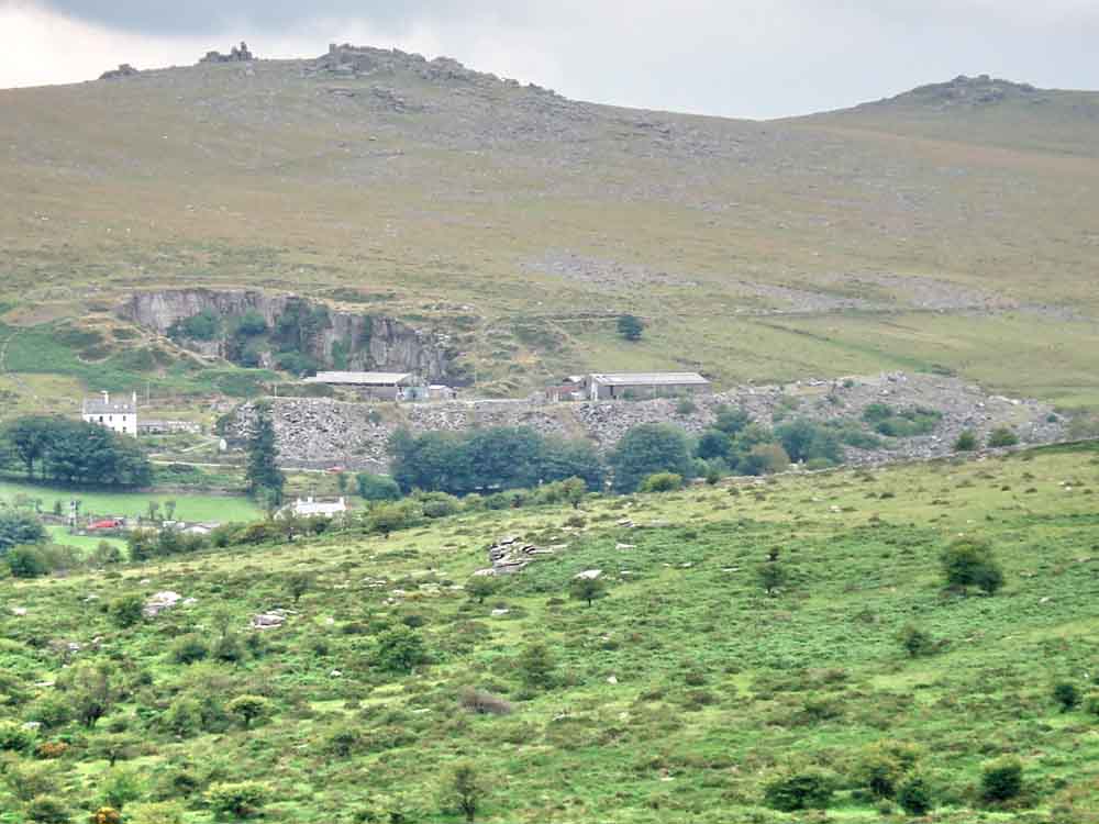
Looking across to Merrivale Quarry from the nearest point on this walk, 1.5 km (0.9 miles) distant.
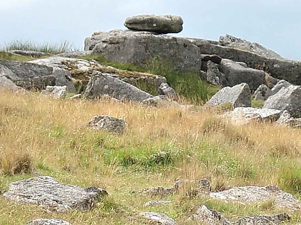
The small logan stone at SX 5534 7391 ..... "A rock which, through weathering, has become disjoined from the parent-rock and is pivoted upon it... Such rocks can be 'logged', set in motion without fear of their over balancing." (citing Hemery on Legendary Dartmoor - Logan Stones).
|
Dartmoor CAM movie Investigating the logan stone.
|
|
Click the photo to download File size: 2 MB. Time to download: e.g. 13 secs Length 18 secs |
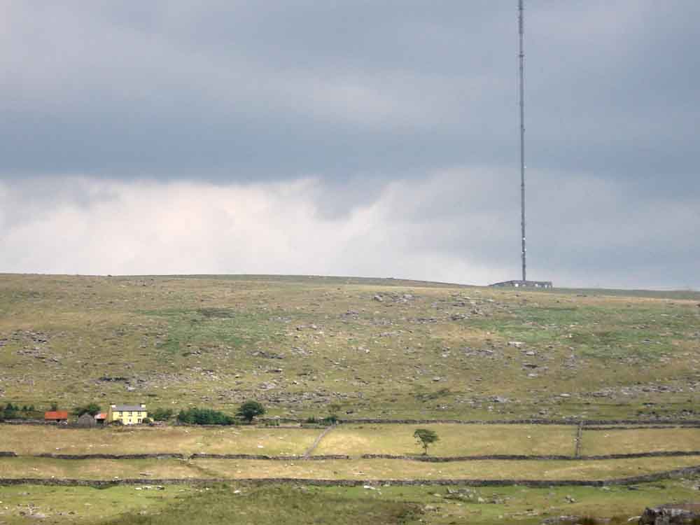
Zoomed view to Yellowmeade Farm, dwarfed by the North Hessary Tor TV transmitter.
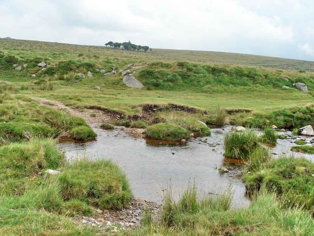
The ford and stepping stones across Longash brook, with the Four Winds car park (the trees) in view.
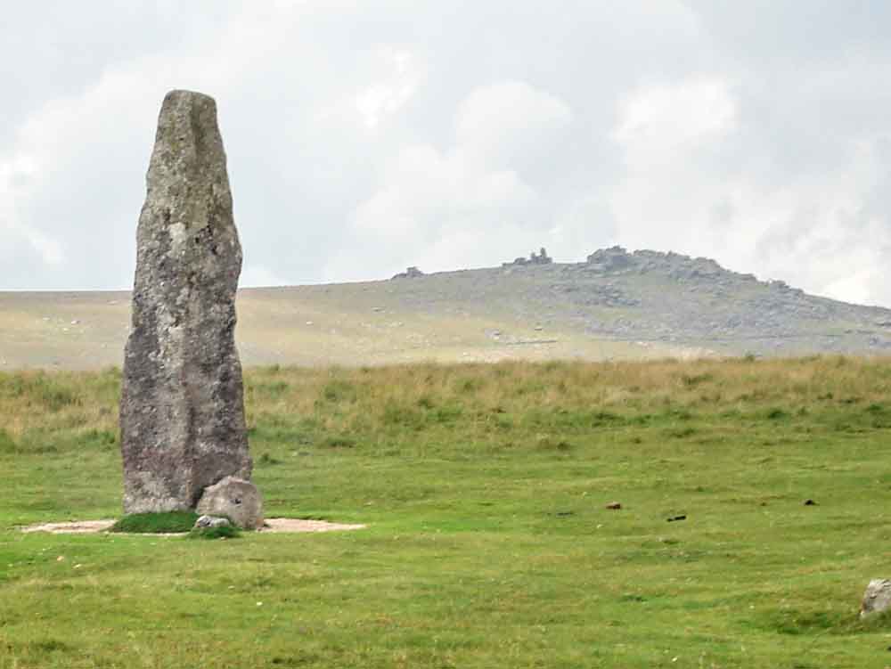
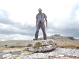
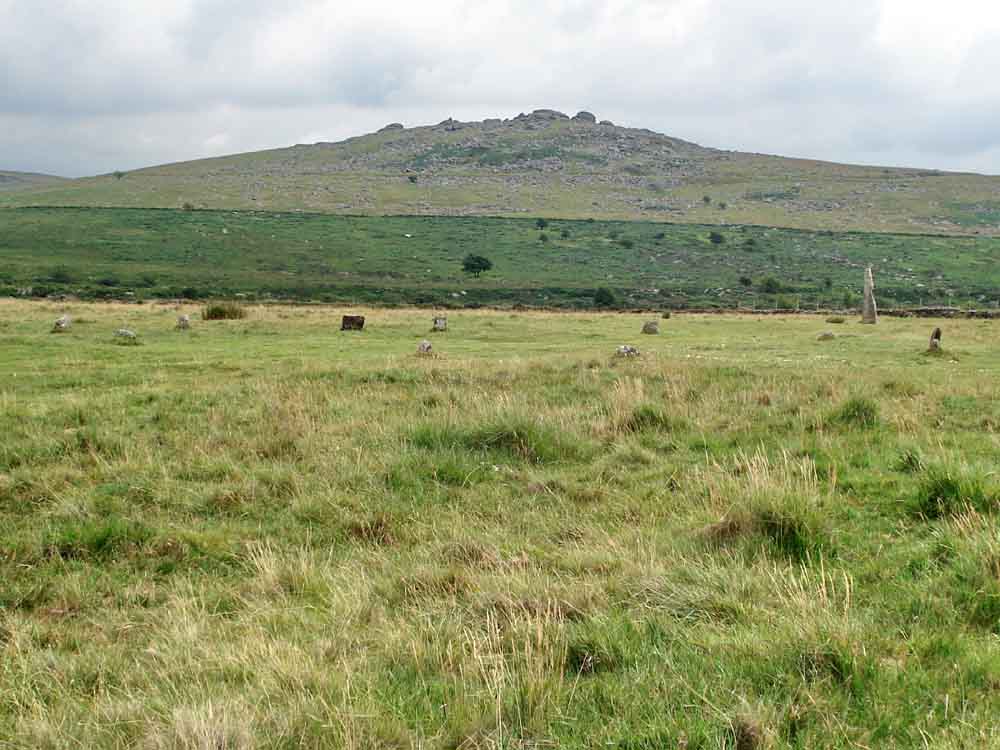
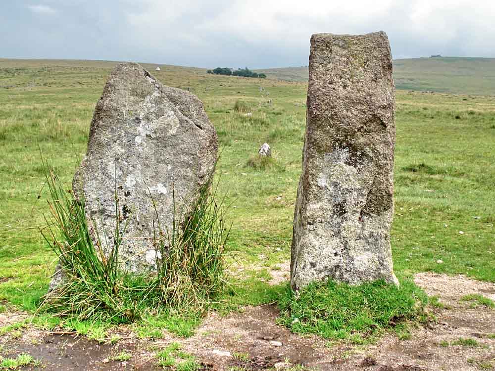
The Longstone on Longash Common, with Great Staple Tor behind.
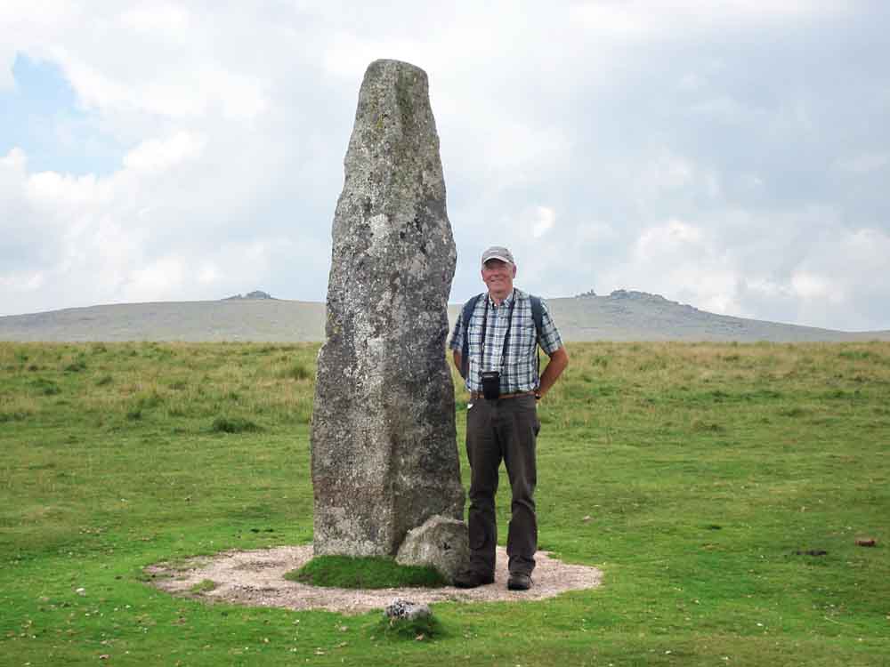
The stone is about 11 feet high, seen here with 6'3" (1.90 m) Ron alongside as a scale. This must be one of the tallest stones on Dartmoor - the tallest appears to be the 4.3 metre menhir at Drizzlecombe.
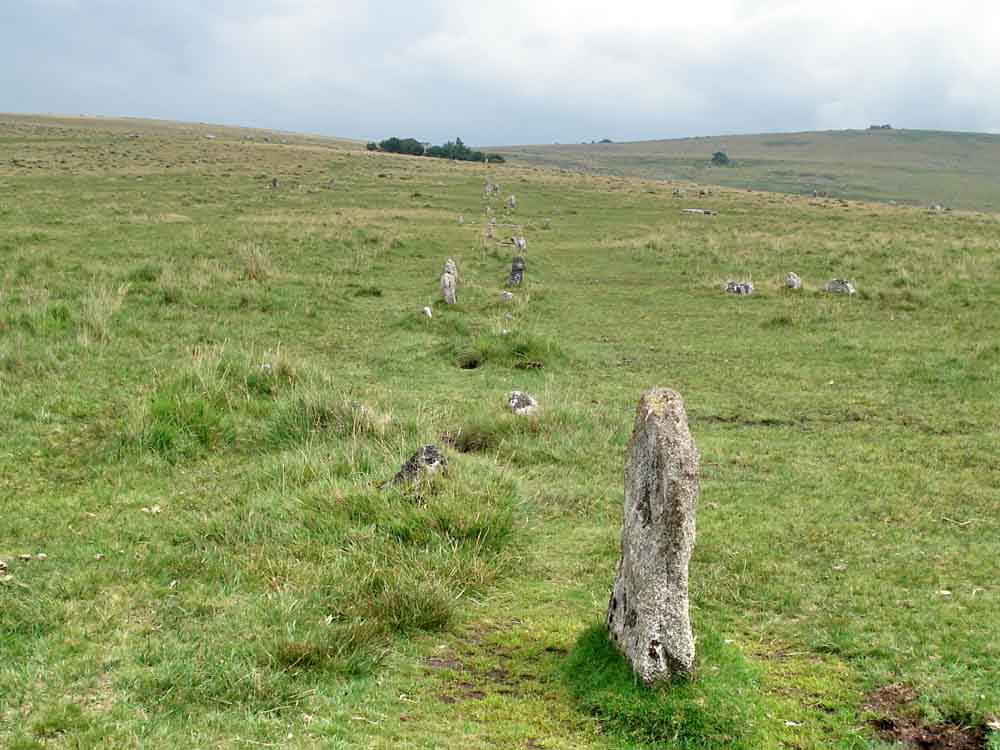
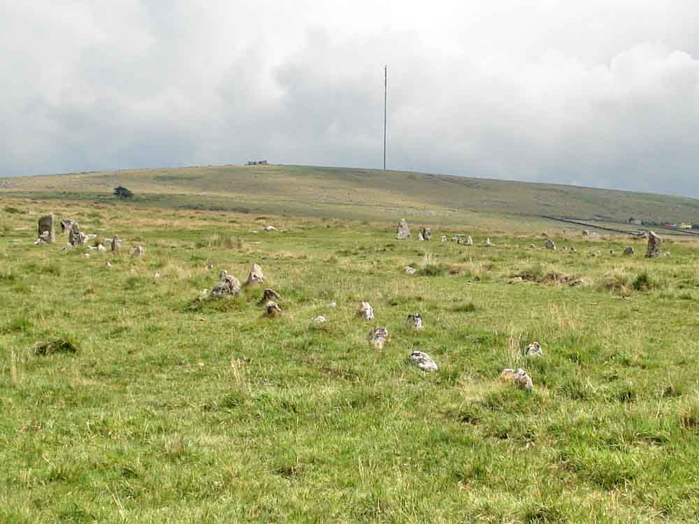
Hut circle near the Longash Longstone (seen at right) with King's Tor behind.
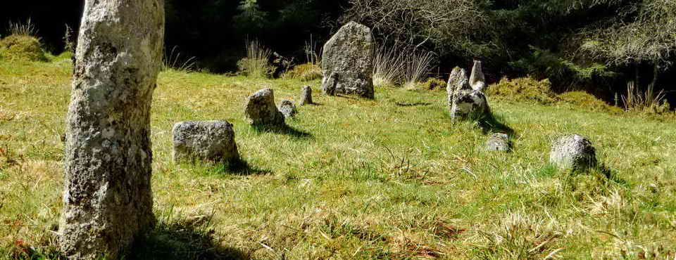
The paired blocking stones at the west end of the southern (longer) row of the two double stone rows at Merrivale (SX 55295 74763) .....
Looking along the row towards Four Winds, there is a very short stone row at right angles (at right) and a possible burial cairn alongside it .....
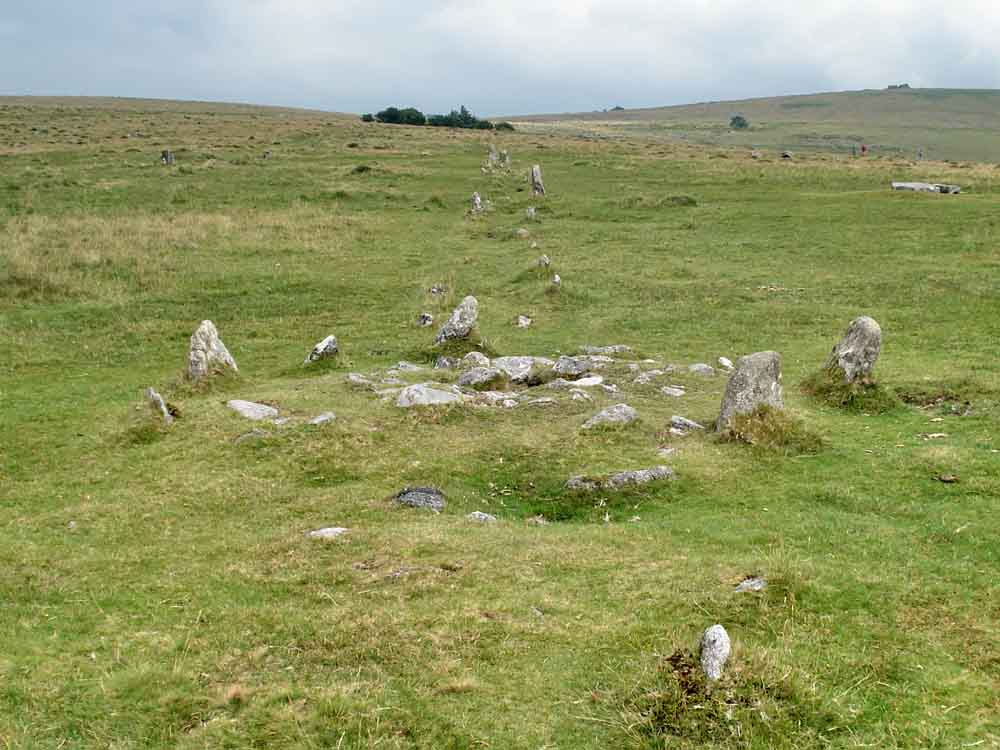
The cist in the middle of the row .....
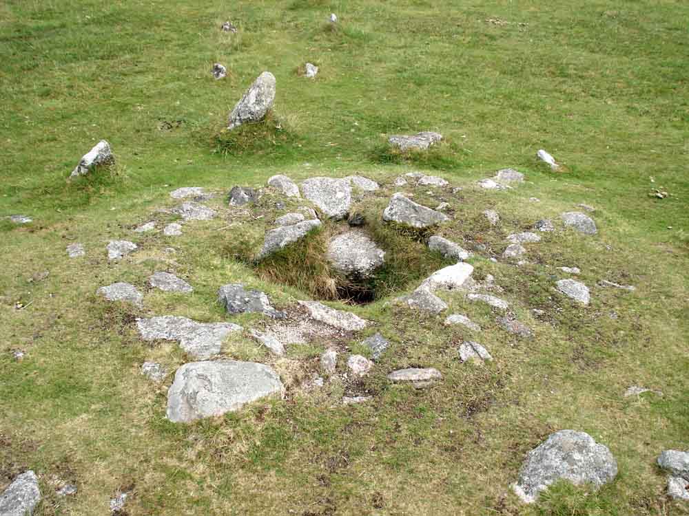
Cist - in more detail
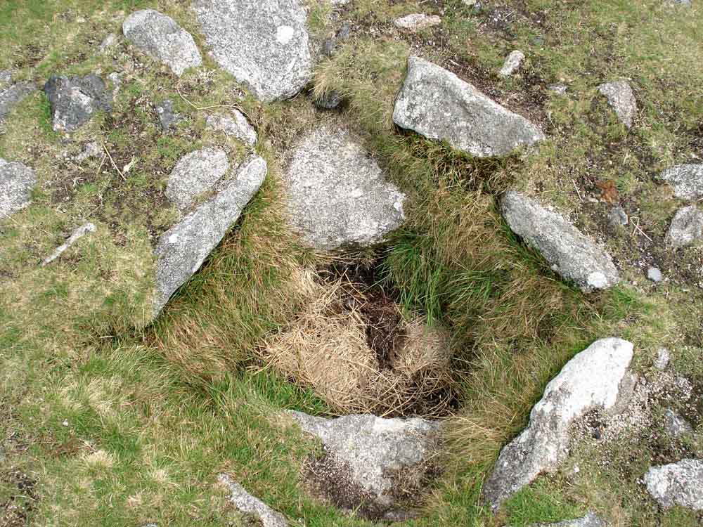
Looking down into the cist .....
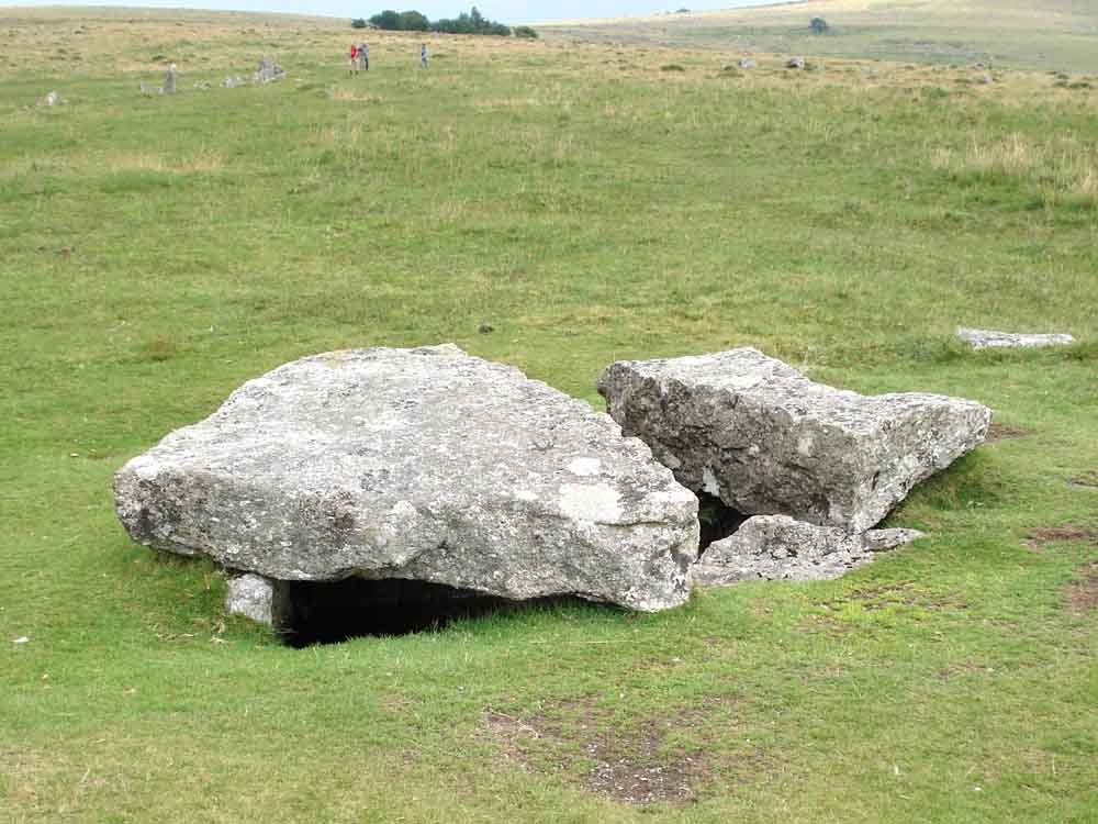
The nearby large cist at SX 55482 74761, the cap stone has been robbed for one, if not two, gateposts .....
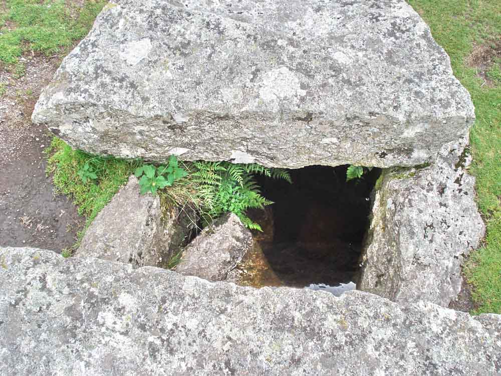
Looking down into the cist.
A view attempting to show the two paired stone rows.

Hut circle at SX 5550 7490 with Great Mis Tor behind.
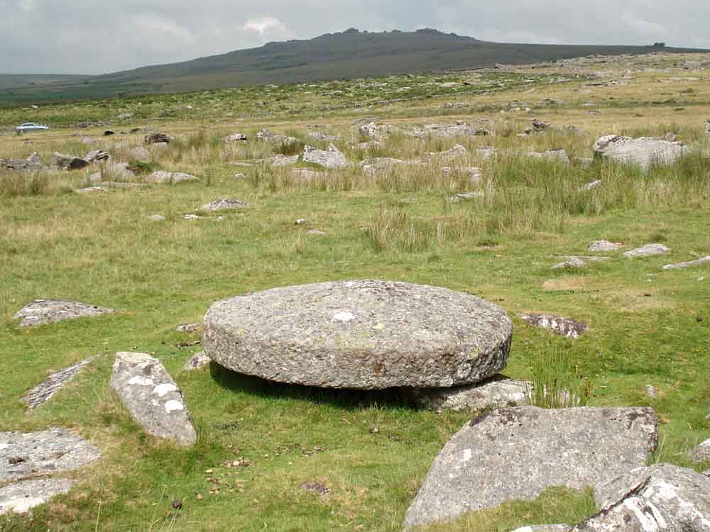
Unfinished end runner of an apple crusher for a cider press.
MAP: Red = GPS satellite track of the walk.
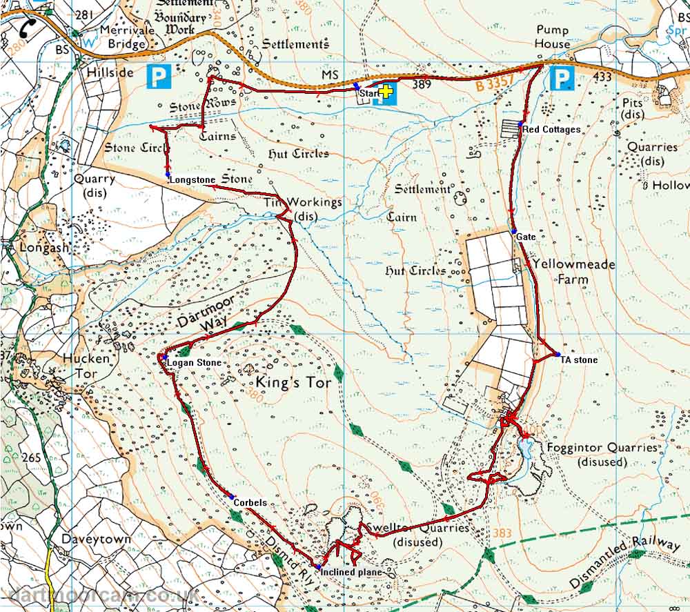
Ordnance Survey © Crown copyright 2005. All rights reserved. Licence number
100047373.
Also, Copyright © 2005, Memory-Map Europe, with permission.
The walk was accessed via the B3357 Tavistock-Two Bridges road. There are three easy car parks indicated on the map by the P symbol, travelling from Tavistock the first one is on the right just after the Dartmoor Inn, followed by a larger one at Four Winds (surrounded by trees, marked with the yellow cross) and the third is a small quarry seen at thr turning into the lane to Yellowmeade Farm.
Statistics
Distance - 8.9 km / 5.5 miles
Duration 3 hr 50 min
All photographs on this web site are copyright ©2007-2016 Keith Ryan.