![]()


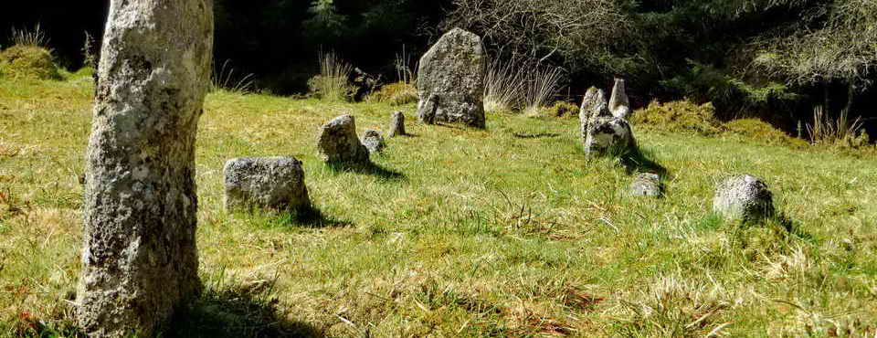
This walk: 2010-6-23. Arboretum, Burrator Reservoir, filled-in gateway, Sharpitor, Leather Tor, Sheep's Tor, heather flowers, Gutter Tor, Scout Hut, Yellowmead Down multiple stone circle, Down Tor, Roughtor Plantation, Combshead Tor, Cuckoo Rock, Sheepstor Church, Feather Bed, Altocumulus undulatus, Pixie's Cave, pillow mound, climbers, Maiden Tor, Chinook helicopter, granite trough.
Walk details below - Information about the route etc.
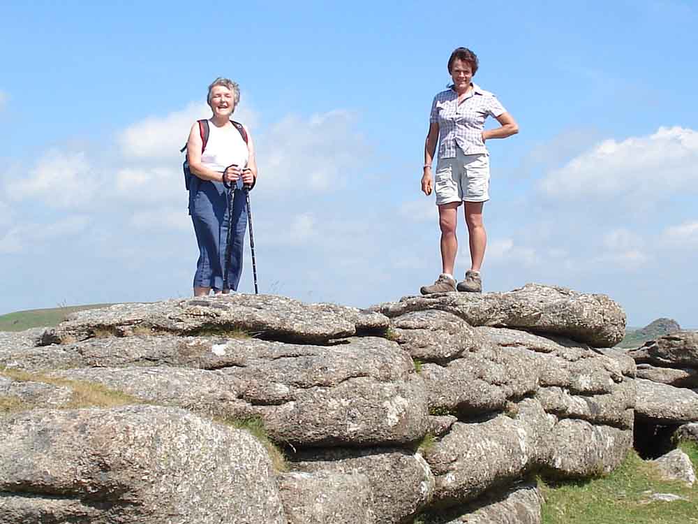
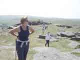
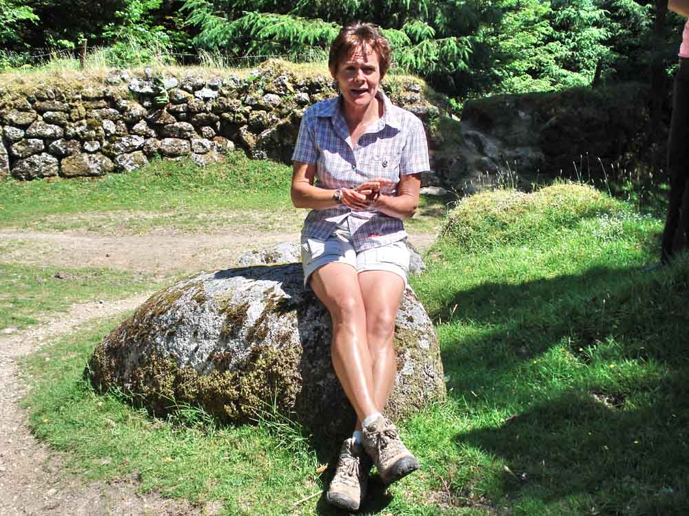
Kay and Liz.
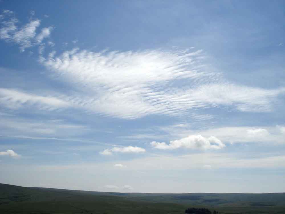
Altocumulus undulatus cloud, mostly.
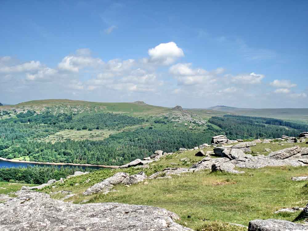
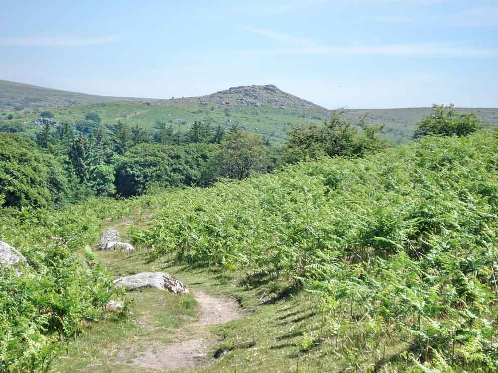
A general view, with simple summer cumulus clouds.
| Dartmoor CAM movie Panorama from the top of Sheepstor, looking at Burrator Reservoir.
|
|
Click the photo to download File size: 2 MB. Time to download: e.g. 13 secs Length 18 secs |
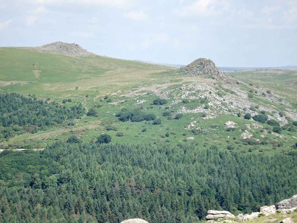
Another view to Sharpitor (left) and Leather Tor (right).
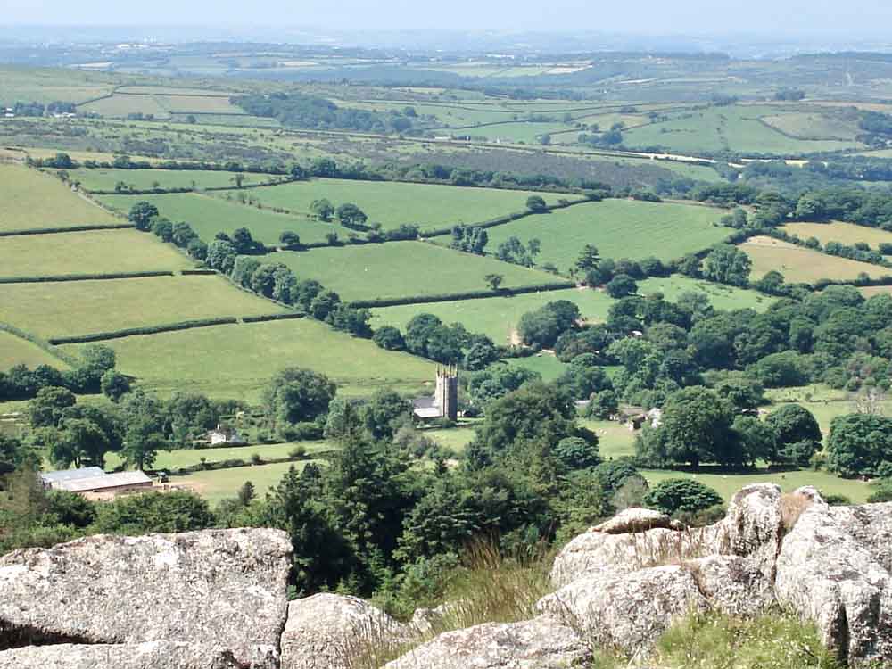
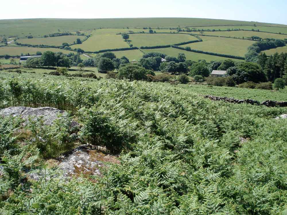
Looking south-west from Sheep's Tor over Sheepstor village.
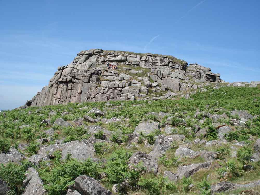
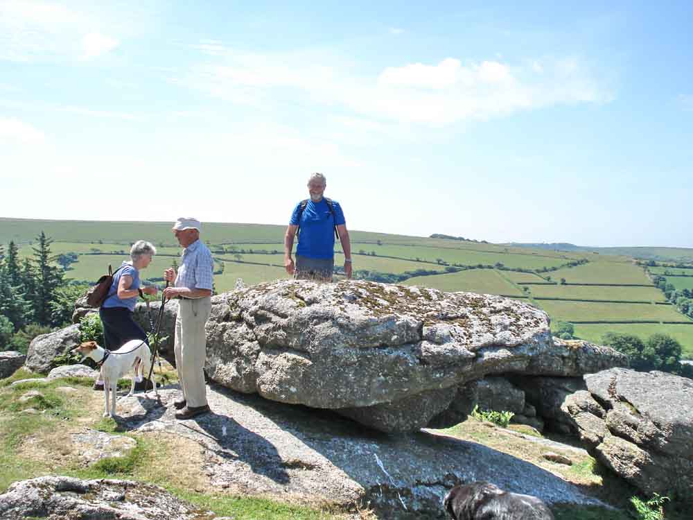
Looking back at Sheepstor, with climbers.
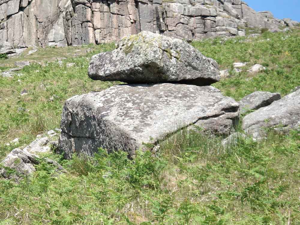
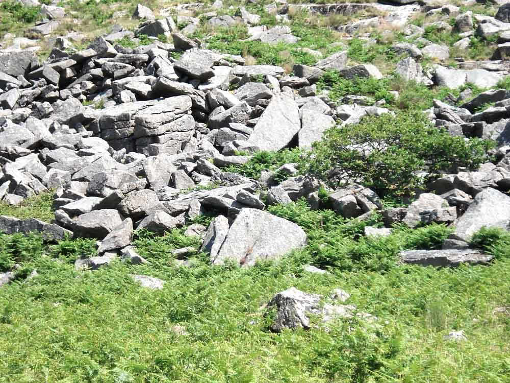
One rock balanced on another .....
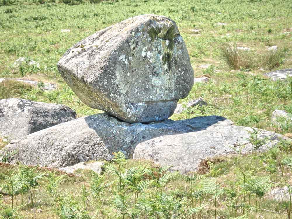
..... and again.
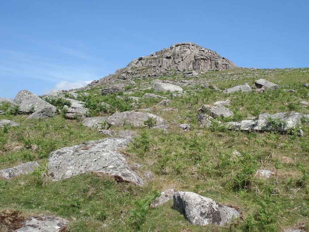
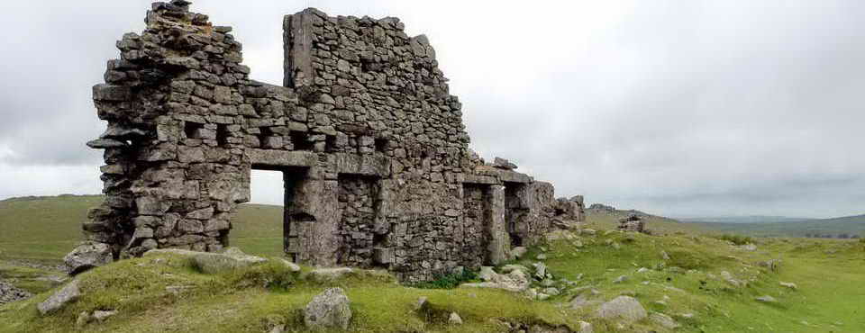
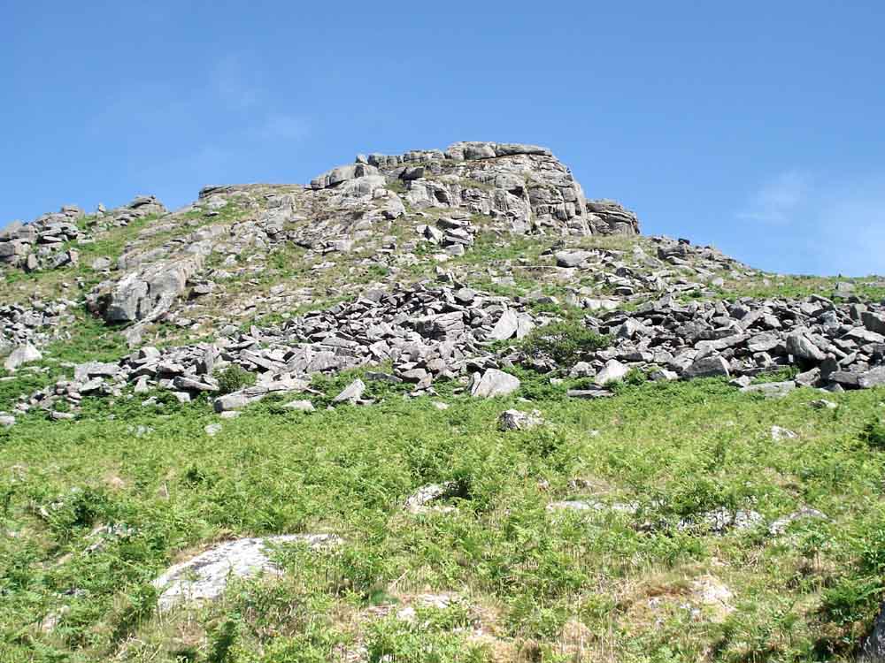
Sheep's Tor.
Something special on Sheep's Tor - Pixies Cave, located centrally in the photograph .....
Pixie's Cave is in the cuboid pile of rock just left of centre in this photo.

Climbers on Sheep's Tor.
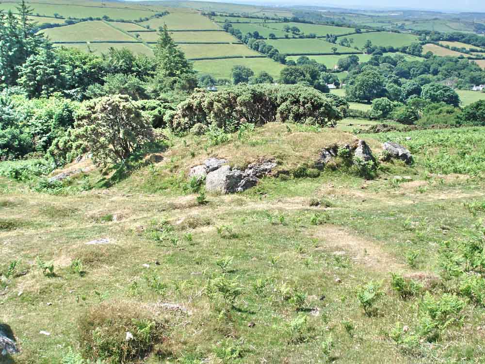
The foreground mound is a pillow mound or rabbit bury, a place where rabbits were bred for meat during tinning times.
A more recent sporting bury from when rabbits were bred for sport.
On top of Maiden Tor, SX 5620 6810, a minor tor marked on the Harvey map but not on Ordnance Survey maps.
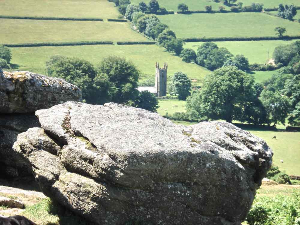
Another look at Sheepstor Church, from Maiden Tor, where,if you climb the tor on the eve of midsummer, a beautiful maiden will appear before you and sing baa baa black sheepstor.
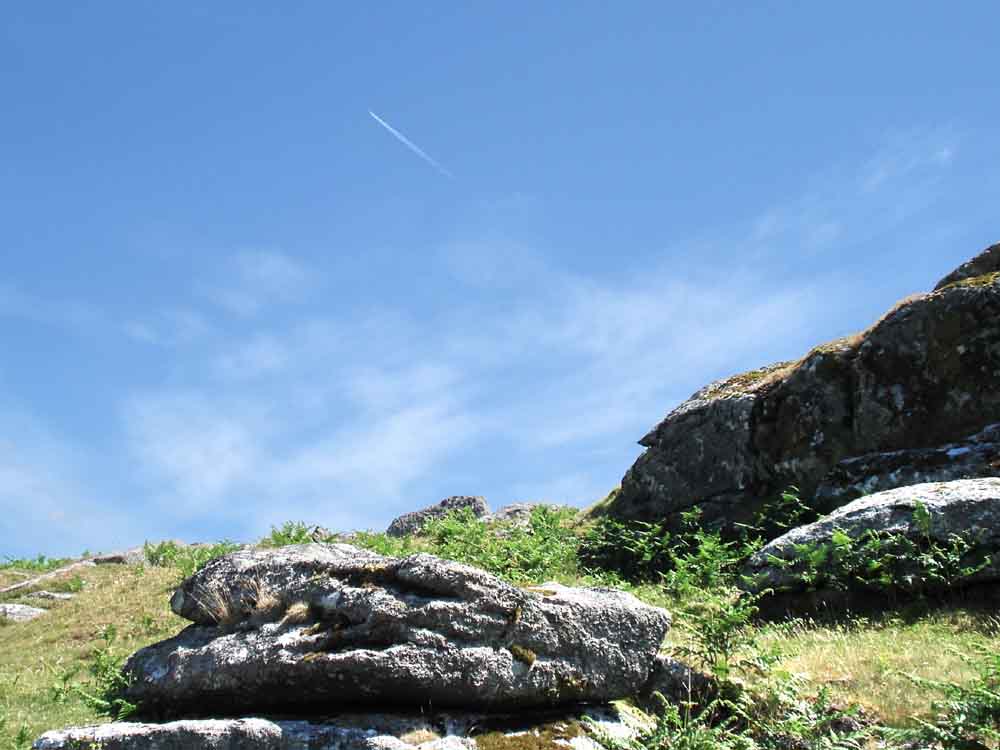
Blue sky, jet, con trail ..................
A different view of Down Tor.

A passing Chinook helicopter.
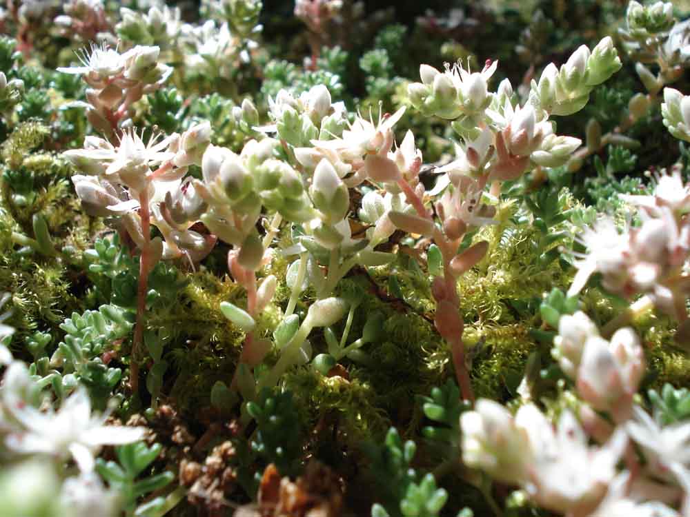
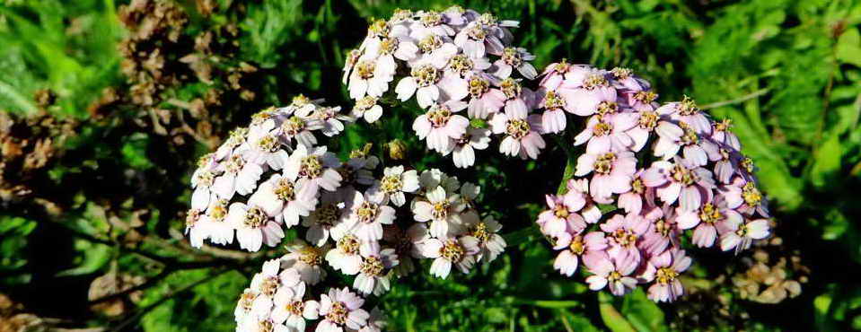
English stonecrop, Sedum anglicum.
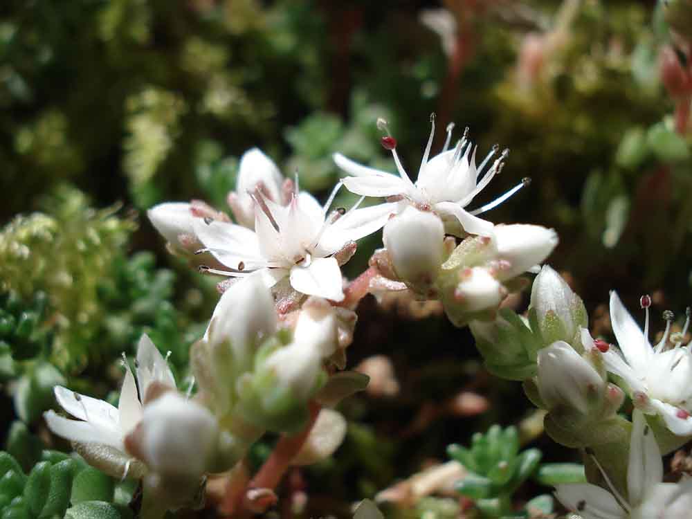
As previous photo.
I found this rock on Dartmoor, a special rock it is, and I'm sitting on it .....
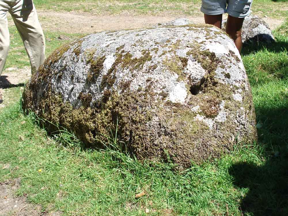
If you smack your hands on it, you get an echo, because its hollow, and there's a hole in one end .....
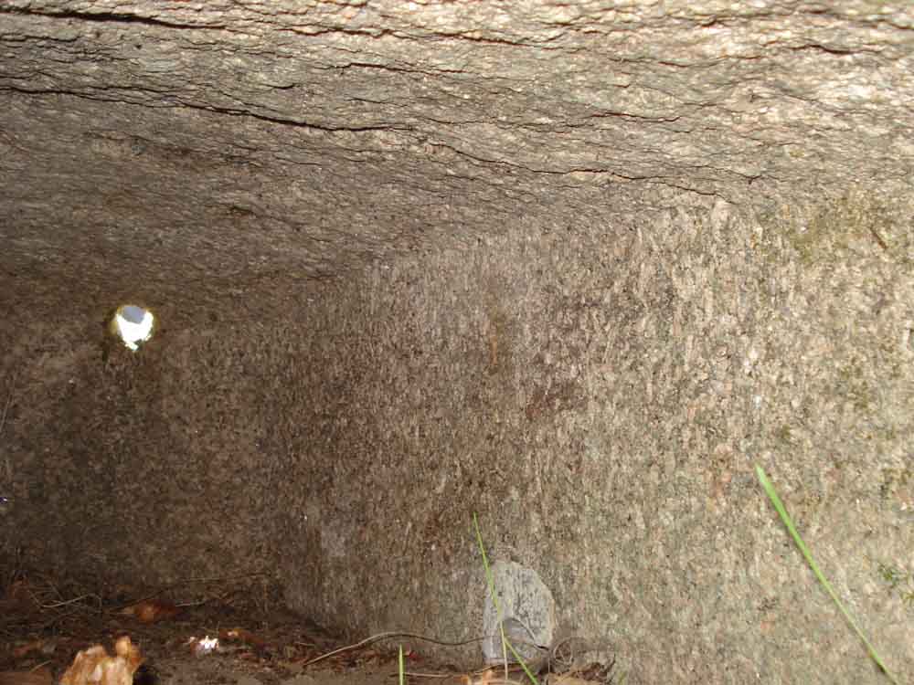
and if you get right down and look inside, you can see that it is an upturned granite trough!

A more modern equivalent to the trough?
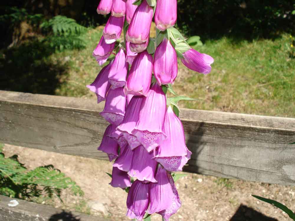
Foxglove again .....
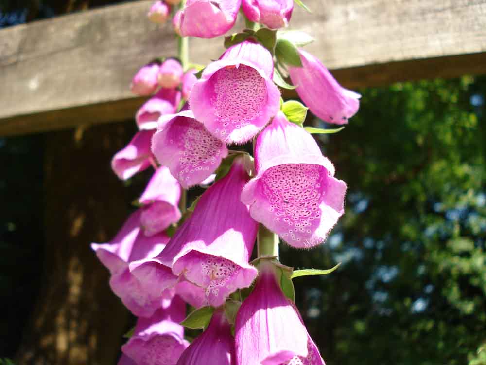
Ditto.
Something vaguely artistic?
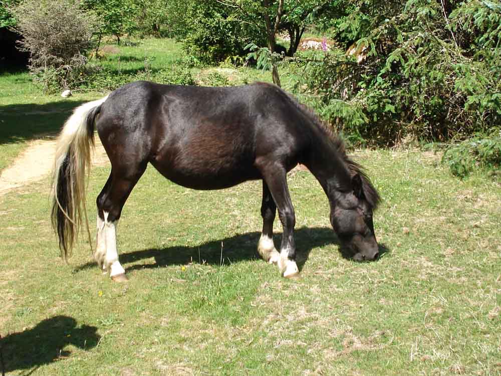
Dartmoor pony.
MAP: Red = GPS satellite track of the walk.
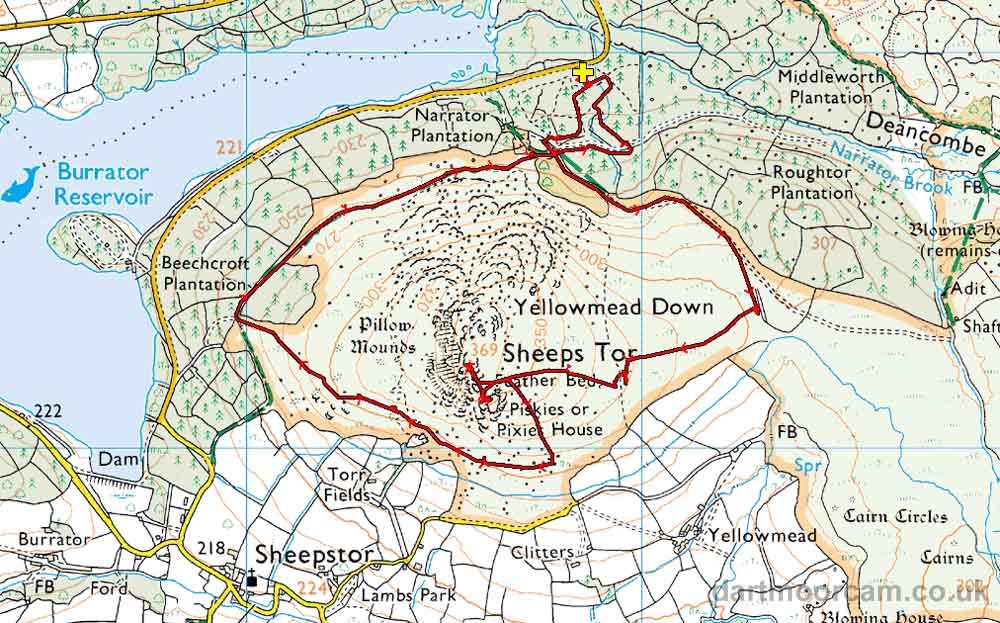
Ordnance Survey © Crown copyright 2005. All rights reserved. Licence number
100047373.
Also, Copyright © 2005, Memory-Map Europe, with permission.
The walk was accessed from the B3212 road from Yelverton to Dousland, turning right to Burrator Dam, driving past Norsworthy Bridge to the Arboretum car park at the yellow cross on the map. There is a shorter route by going over the dam and turning left before Sheepstor village - the roads here are quite narrow.
Statistics
Distance - 5.63 km / 3.5 miles
All photographs on this web site are copyright ©2007-2016 Keith Ryan.
All rights reserved - please email for permissions