![]()


This walk: 2009-4-15. Sharpitor, Stanlake Plantation, Stanlake Farm, Devonport Leat, clapper bridge, Indian doll's head, River Meavy, aqueduct, Black Tor, Logan Stone, double stone row, cairn, cist.
Walk details below - Information about the route etc.

Sharpitor from the car park, in the mist.

The stile into Stanlake Plantation.

A view through the trees down towards Burrator Reservoir.

A corner on a structure in the wood.
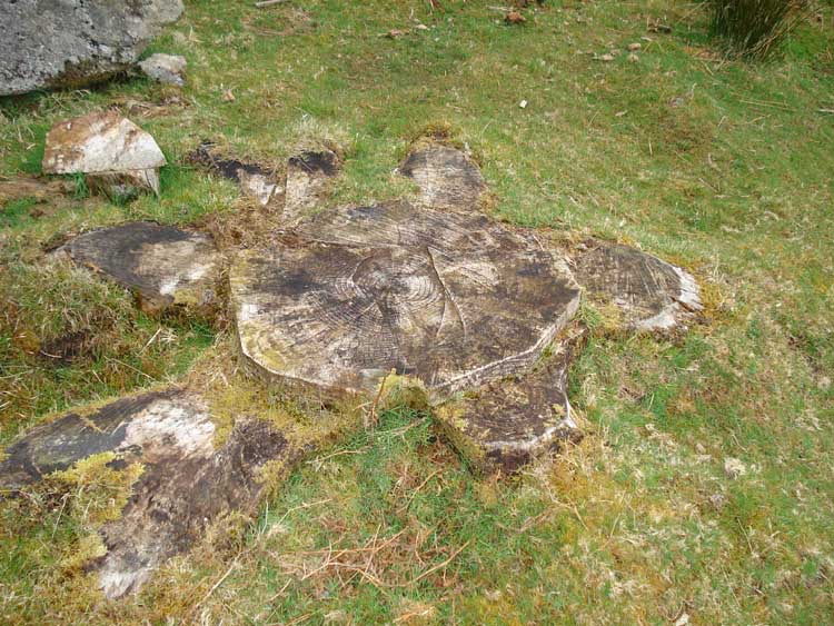
An old tree stump.
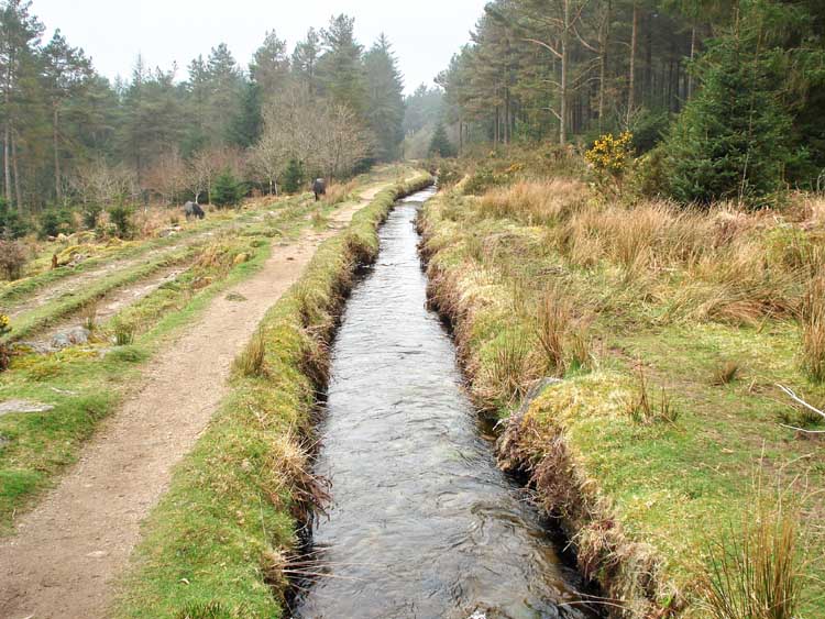
View along Devonport Leat back into the wood.

Dartmoor Strollers gathered at the clapper bridge at SX 56695 70343 just as we met the leat or at SX 56817 70473.

A later view back westwards along a felled section of the wood.

A take-off point/sluice valve along the way - this would lead down towards the reservoir .....
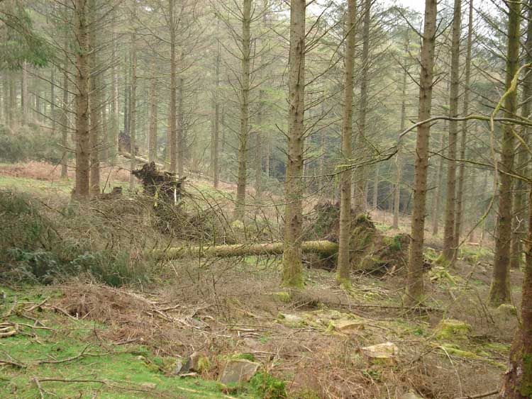
A fallen tree.
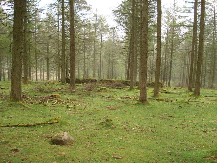
A structure seen along the way, from the leat.
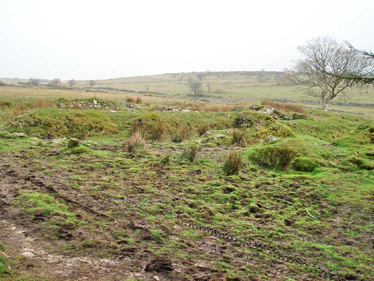
A view over the remains of Stanlake Fram, at SX 56930 70913.

A signpost at the same spot.

A closer view of part of the remains.

Setting off along the Devonport Leat, outside the wood, at SX 56957 71020.

Looking back towards the wood-edge, to show the curve of the leat.

The Indian doll's head, set into the southern side of the leat, at SX 57233 71306. More details can be seen here from another walk along this way - the head is seen in greater close-up (the photos following here give visual clues as to the location, including the tree behind you as you look at the head). There is more information on the Legendary Dartmoor web site, here.

Looking back along the way we came, with the leat flowing away towards the reservoir.

The feed in to the leat from the River Meavy.

Looking up Raddick Hill, with the leat tumbling down the hill. Again, the previous walk here shows this and also has a movie (turn up the sound!).

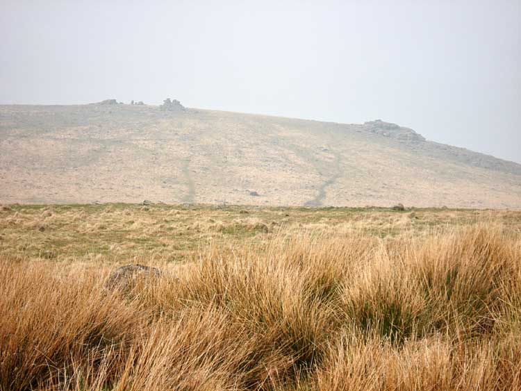
Looking up the valley of the River Meavy, with Hart Tor in the distance (seen on a previous walk, 20 Nov. 2008).
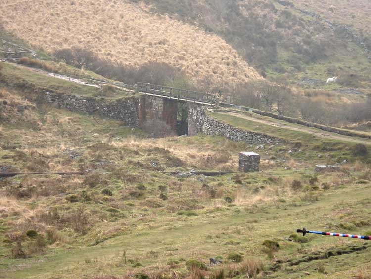
Looking back at the aqueduct carrying the leat over the River Meavy.

Black Tor, SX 57350 71765, elevation approx. 370 meters (1213 feet), the Logan Stone is seen to the left.

The Logan Stone.

Another view of the rocks of Black Tor.
View across to Leedon Tor.

View to Hart Tor (SX 5813 7200).

Black Tor rocks, looking towards Raddick Hill.
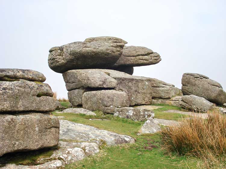
Another view of the Logan Stone.

View towards Princetown.

The Logan Stone ..... it rocked, with a little help!
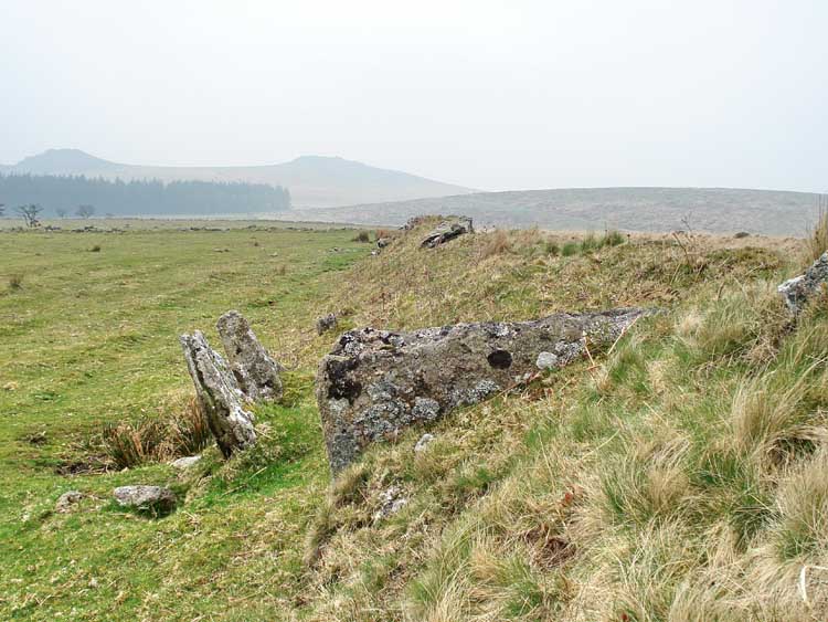
The blocking stone (nearest the camera) of the double stone row at approx. SX 572 715. The remains of one row are seen to the left, the second row is (believed) buried in the newtake wall on the right. It is believed to be a double row because of the position of the blocking stone i.e. not being on the end of the visible row.

A view from the opposite direction.

A low-angle photo of the newtake wall near the end of the row, with a sloping side on one side .....

.... and a steep face and ditch on the other side, to allow deer to escape from the newtake but to hinder their entry back in.
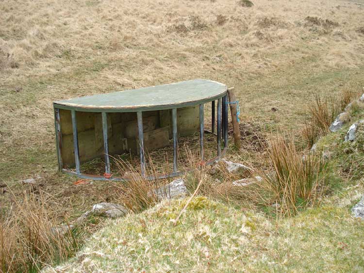
An animal feeding device beside the wall.

Leather Tor, SX 562 699, elevation approx 380 meters (1246 feet).

Sharpitor, SX 559 703, elevation 410 meters (1345 feet).

Cairns at SX 56427 70851 � 5 meters ..... (marked on the map as a blue dot GPS waypoint, "Cist") .....
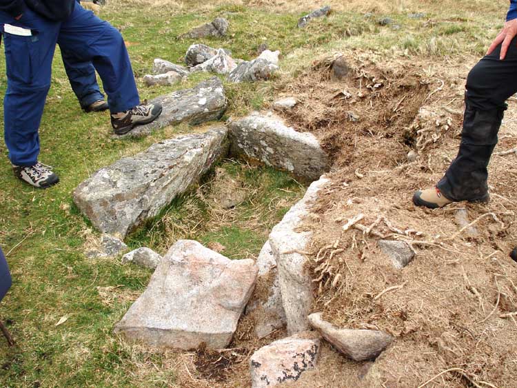
..... and a cist inside one of the cairns.
MAP: The red line is the route actually walked.

Reproduced from Dartmoor OS Explorer map 1:25 000 scale by
permission of Ordnance Survey
on behalf of The Controller of Her Majesty's
Stationery Office.
© Crown copyright. All rights reserved. Licence number 100047373.
Also, Copyright © 2005, Memory-Map Europe, with permission
Access was via the B3212 from Yelverton/Dousland towards Princetown, with parking at the P symbol on the map, actually on the north side of the road.
Statistics
Distance - 4.88 km / 3.03 miles.
Start 10 am, Finish 12.05 pm, Duration 2 hr 5 min.
All photographs on this web site are copyright ©2007-2016 Keith Ryan.