![]()


This walk: 2011-6-22. Little Staple Tor, Middle Staple Tor, Great Staple Tor, parish boundary stone (Whitchurch/Peter Tavy), Roos Tor, red flag, stone markers, Duke of Bedford pillars, Cox Tor, Beckamoor Dip, sundew insectivorous plant, old Sortridge and Grimstone Leat.
Walk details below - Information about the route etc.

It was wet, misty and then it rained heavily at the start of the walk: this is Little Staple Tor, SX 5386 7536, elevation 380 metres (1246 feet) .....
Followed by Middle Staple Tor, SX 5403 7564, elevation 431 metres (1414 feet) .....

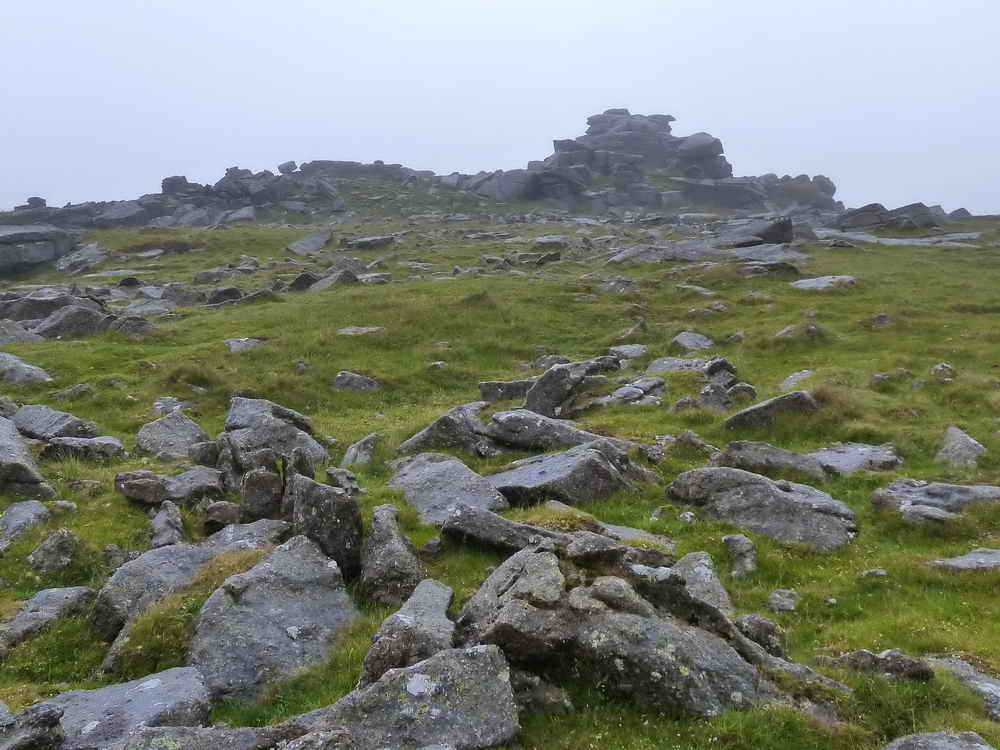
Followed by Great Staple Tor, SX 542 760, elevation 455 metres (1492 feet).
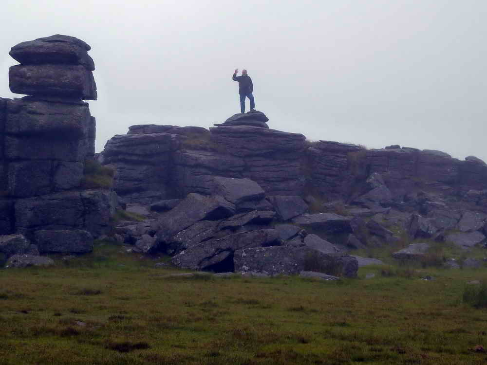
Hugh conquers Great Staple.

Sheltering after some serious rain, easing off at this point .....

Birthday Boy included.

Parish boundary stone at SX 54280 76310 with "W" (Whitchurch) on one side, visible in this photograph and .....

"P" (Peter Tavy) on the other.

Roos Tor with military red flag flying to warn of live firing, beyond ......... we think .....

Original marked stone, one of fourteen in a ring around the tor, inside which stone workers were not allowed to take stone .....

Closer view, but because these might be overlooked .....

The then Duke of Bedford had each
marker itself marked by a granite pillar so that there could be no excuse.
Source: Dave Brewer (2002), Dartmoor Boundary Stones, Halsgrove, p.251.

Zoomed view to Cox Tor, SX 530 761, elevation 442 metres (1450 feet).

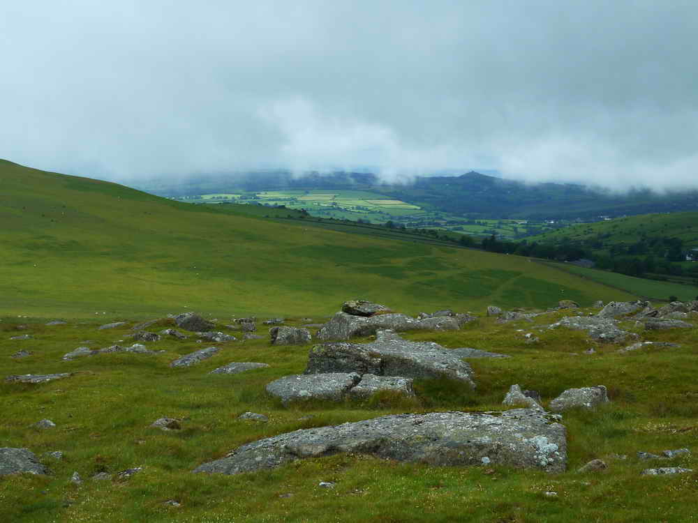
Looking north-east towards Higher Godsworthy, it appears that the cloud was lifting.

Great Staple Tor from the north.

Gathering at the red flag .......... where we should be safe?


Moor Strollers committee meeting.

And now for something completely different .....
| Dartmoor CAM movie Moor Strollers find a logan stone - it did move although it might have moved more if they could have all been on one end rather than some being so near or even over the fulcrum?
|
|
Click the photo to download File size: 2 MB. Time to download: e.g. 13 secs Length 18 secs |

Three friends.

Out to the north-east, another Duke of Bedford marker stone .....

Zoomed view .....

There are at least two markers out there, in the mist (near-central and half-way to the left edge).

Beckamoor Dip, the pond below Cox Tor.

Another pair of marker stones, close together.

The original mark.
See, the sun DID shine - over there!

Yet another view of Great Staple Tor as we walked around "the back" of it.

Roos Tor Pits: "tinners' trial pits : ...... consists of a discreet E � W tinwork with evidence of a probable adit, shafts, lode-back pits (i.e. lines of pits dug directly into the tin-bearing lode) and three reservoirs on it�s south side. It is a good example of a site with a characteristic range of features ���.. no obvious buildings recorded although one or two levelled areas may have been foundations for temporary huts. No leats leading to the site have yet been traced which remains a puzzle.� This is an extract from the Dartmoor Tinworking Research Group newsletter No 13, July 1997.

Beckamoor Dip, between Cox Tor and Great Staple Tor .....
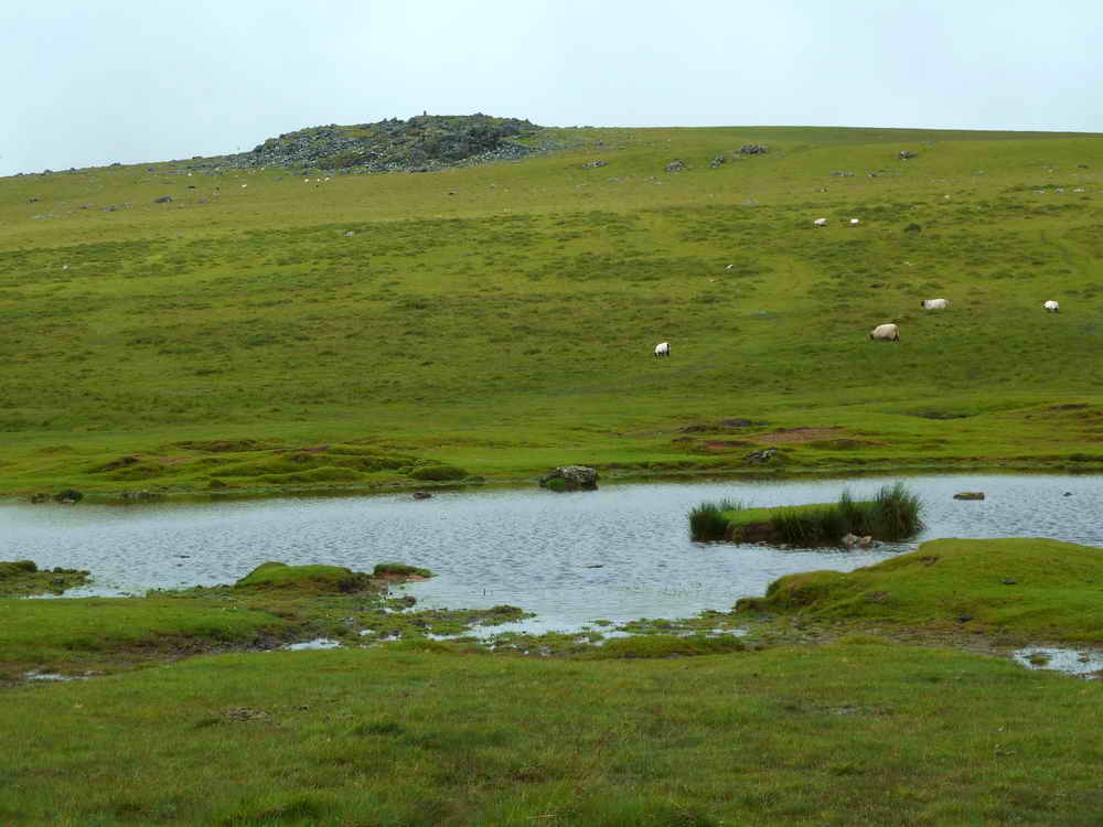
Closer view .....

There's always one fool!

"That's the way to do it!" ..... just
run quickly .....
Berni said "He always could walk on water!"
| Dartmoor CAM movie Birthday Boy walks on water, and for my next trick ..........
|
|
Click the photo to download File size: 2 MB. Time to download: e.g. 13 secs Length 18 secs |

At last, a clear view of Great Staple Tor.
Not sure if the next photograph will appear on your computer, it doesn't on mine despite several checks - it appears to be a "glitch" .....

Middle Staple Tor.
In that case, try again .....
Middle Staple Tor.
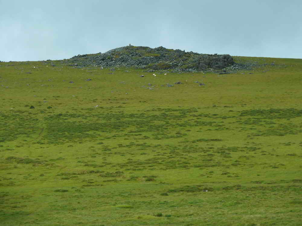
Cox tor.

A pretty picnic spot up the gert ("Tin Workings" on the map) near the car park.

Round-leaved Sundew - Drosera rotundifolia, the insect-eating plant (to supplement minerals etc. that are lacking in the soil) .....

Sundew .....

Sundew ..... is that bits of fly on the right, not digestible?

Sundew, a good view of the hairs with sticky tips that curl over and trap any insect unfortunate enough to wander inside the flower.

A twisted tree in the gert - they don't live outside in the open around these parts!

Then it rained stair-rods again, just as we got back to the cars!

Atmospheric view to the south/south-east.

Pointing out the present course of the Sortridge and Grimstone Leat on the hill opposite, with the original course right in front of us.

Bell heather.

Looking across the road to Vixen Tor .....
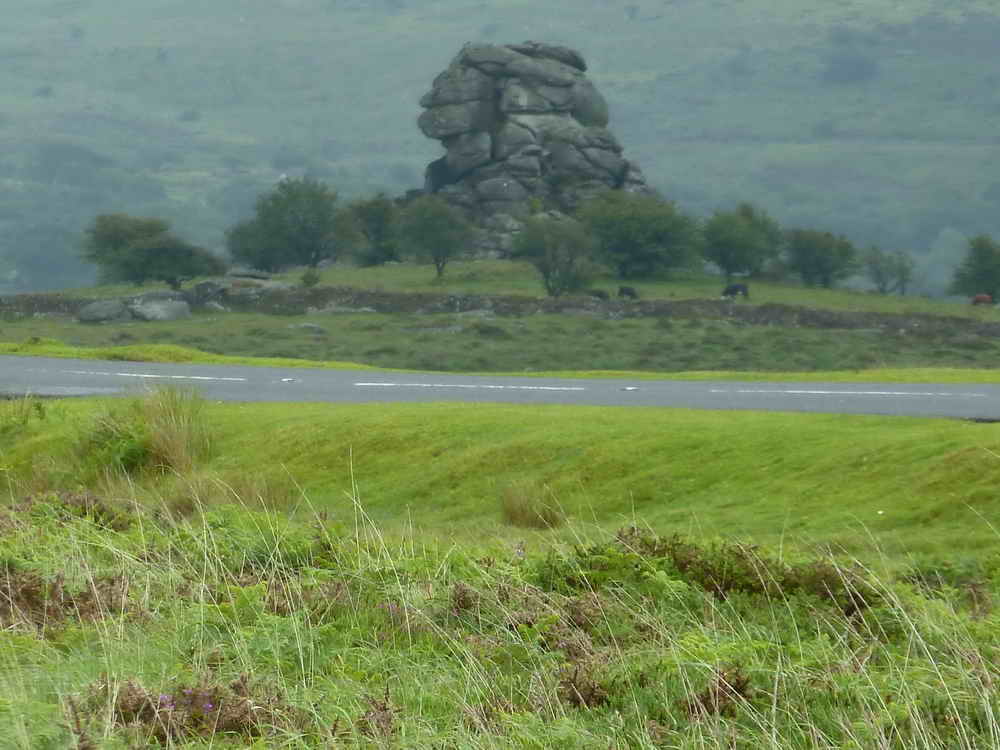
Vixen Tor, SX 542 742, elevation 317 metres (1040 feet).
MAP: Red = GPS satellite track of the walk.

Ordnance Survey © Crown copyright 2005. All rights reserved. Licence number
100047373.
Also, Copyright © 2005, Memory-Map Europe, with permission.
This walk was reached by driving past Merrivale from the east and parking in the second quarry car park on the right, marked by the yellow cross on the map.
Statistics
Distance - 4.41 km / 2.74 miles
All photographs on this web site are copyright ©2007-2016 Keith Ryan.
All rights reserved - please email for permissions

