![]()


This walk: 2011-5-27. Hobajohn's Cross, Longstone, terminal blocking stones, windblown tree, Sharp Tor, Erme Valley, bluebells, Butterdon Rifle Range 1861, St. Petroc's Church, Harford,.
Walk details below - Information about the route etc.

Hobajohn's Cross, at SX 65513 60475.

The recumbent Longstone, SX 6543 6074, with Ugborough Beacon cairns beyond.

Terminal blocking stone(s) of the double stone rows, at SX 65042 61114. The rows are not easily seen in this area.
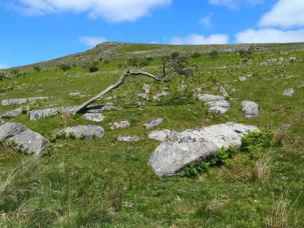
Windblown tree with Sharp Tor behind.

Piles Copse (left) and Sharp tor (right).

View up the Erme valley to Piles Copse with a carpet of bluebells in the mid-distance.
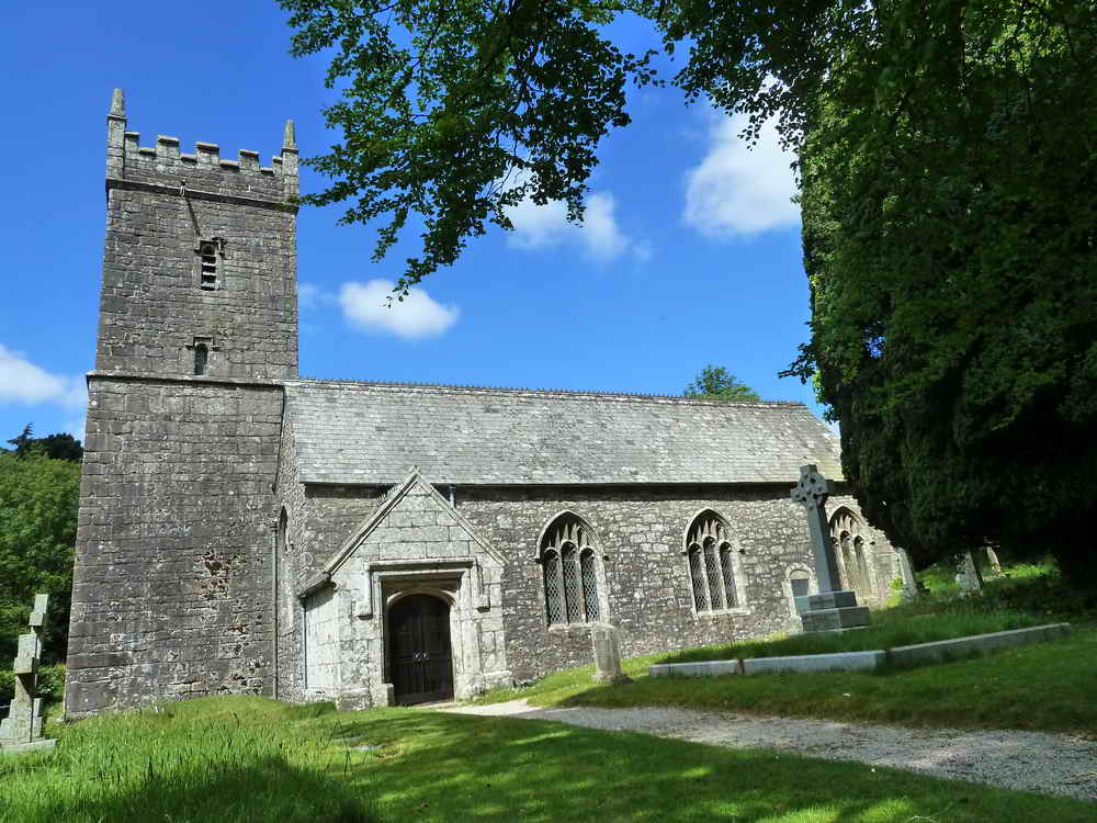
St. Petroc's Church, Harford, built on Saxon foundations, probably built in the 15th and 16th centuries ..... (St Petroc) .....

The knave .....
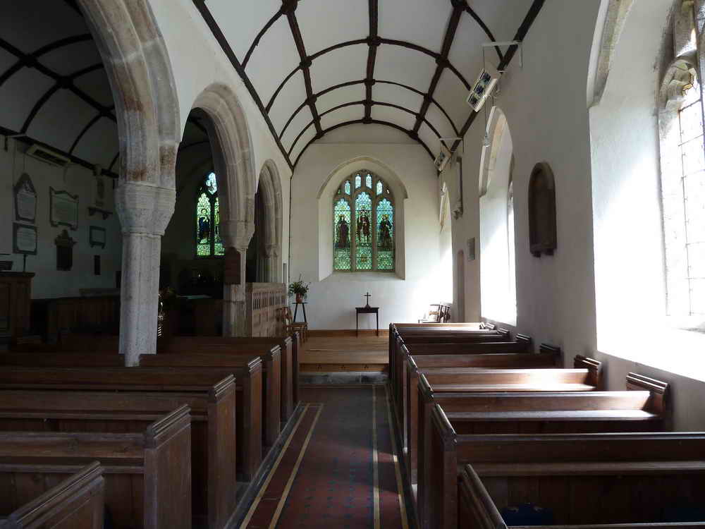
The (south) aisle .....

Two spare bells!

Died the "xxix" i.e. 29th day of October 1620 ..... 391 years ago.

The transept, altar, pulpit and lectern .....

The parish of Harford has about 77 people. Somehow, we managed not to see Harford Church Cross in the churchyard - can you see it?!
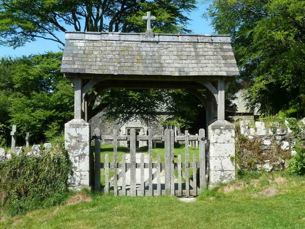
The lych gate into the churchyard.
MAP: Red = GPS satellite track of the walk. As this was a repeat of the walk done on the 25th May, the whole map of the track is not being repeated here. The section of the red track of the walk shows our wanderings on the old 1861 rifle range, looking for the range marker stones. On this occasion, we got the bearing of the first lane wrong. However, we did locate the four butts and the four observation pits, plus a small number of 100, 150 & 200 yard marker stones. Next time, we'll be better prepared with marker poles, flags etc. .........
We did that later, see 2nd May 2012 - no red track (for the obvious, much wandering about, reasons) but a lot of GPS location points for the range markers that we did find (the GPS survey was actually done on 2nd June 2011).

Ordnance Survey © Crown copyright 2005. All rights reserved. Licence number
100047373.
Also, Copyright © 2005, Memory-Map Europe, with permission.
This walk was accessed by taking the road east from Cornwood, via Torr and Harford to Harford Moor Gate.
Statistics
Distance - 10.3 km / 6.4 miles
All photographs on this web site are copyright ©2007-2016 Keith Ryan.
All rights reserved - please email for permissions