![]()


This walk: 2011-4-7. Longstone leat, female stonechat, flat rod system, Eylesbarrow tin mine, Evil Combe, River Plym, blowing houses, Drizzlecombe stone rows, cists, Hen Tor, rabbit bury / pillow mound, Ditsworthy Warren House, Gutter Tor, Scout Hut.
Walk details below - Information about the route etc.

Longstone Leat, just up the track from the Scout Hut. The leat - supplied Longstone Manor which was the seat of the Elford family from the latter part of the C15th to the middle of the C18th. Its head weir is at Plym Steps, 4.5 miles as the leat flows. Repaired recently and in 1984. Now only flowing from Thrashelcombe (= Drizzlecombe), supplying Sheepstor farms. In the background are the trees surrounding the Scout hut: where once stood Ditsworthy Bungalow, built by Percy Ware, 1933, son of Granny Ware, that was out of hailing distance! He died in 1947, aged 57, his wife, Elizabeth, lived in the small single storey wooden dwelling until the harsh winter of 1962-1963. Seen better on this page: 9th Feb. 2011.

Believed female stonechat.

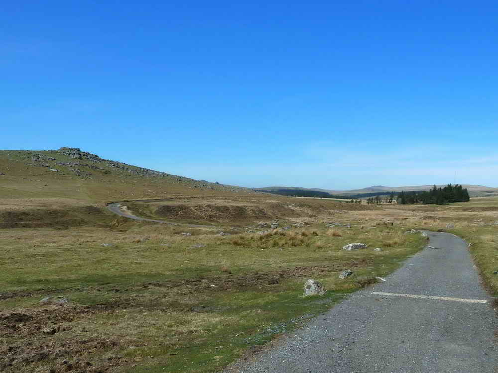
Looking back towards the Scout Hut from half-way up the track to Eylesbarrow.

The remaining end wall of a building beside the track, at SX 59392 67868 .....
The same wall, seen end-on in the distance, on the end of what might have been a leat, the raised ground running from the camera to the wall?
Remains of a building at SX 5943 6796.

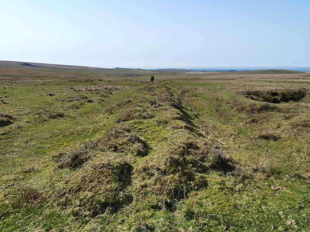
Remains of the flat rod system that once ran alongh the side of the track, delivering energy to where it was needed.
There is a notch in the top of each flat rod suppport.

Looking back along the flat rod system from a place with a sizeable pit.

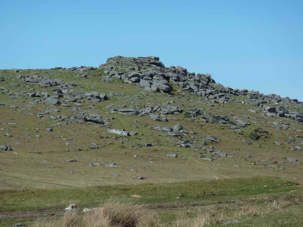
"Eylesbarrow Tin Mine" on the map.

Looking down Evil Combe towards the River Plym.

A particularly boggy area at the bottom of Evil Combe.

Looking up the River Plym, towards its source.
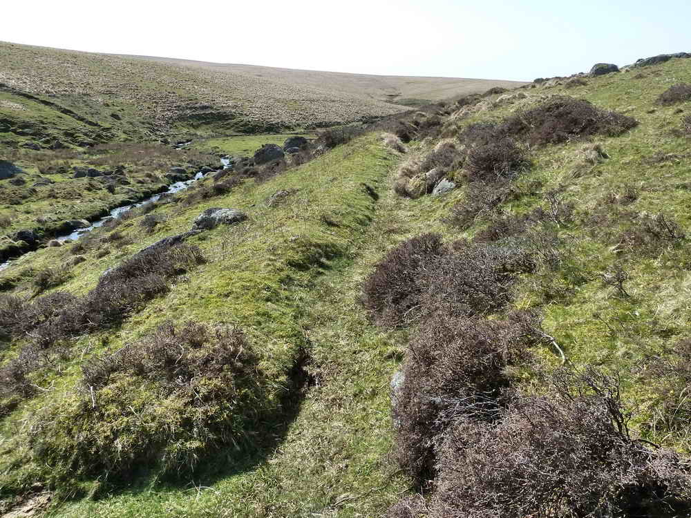
Walking along an old leat bed, towards a blowing house, with the Plym down on the left.
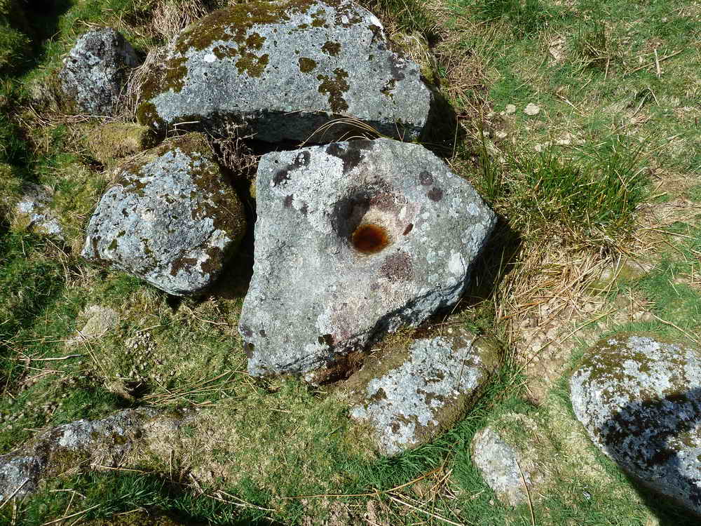
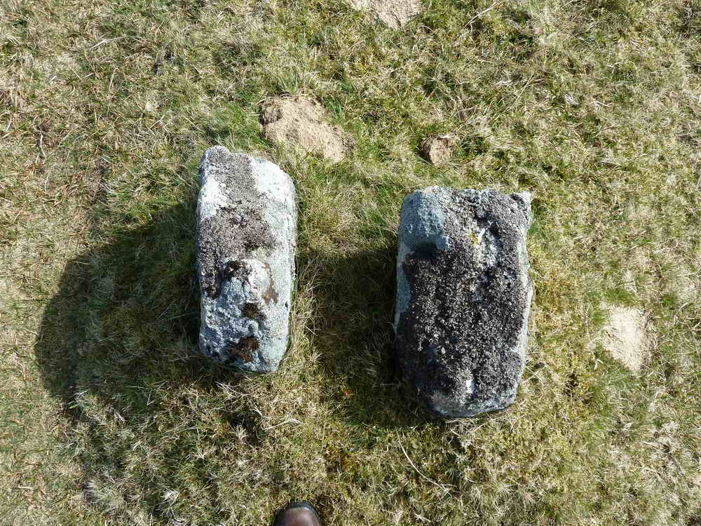
Mortar stone with two worn depressions, at SX 60465 67435 .....

There is not a lot left of the blowing house, other than the mortar stone.
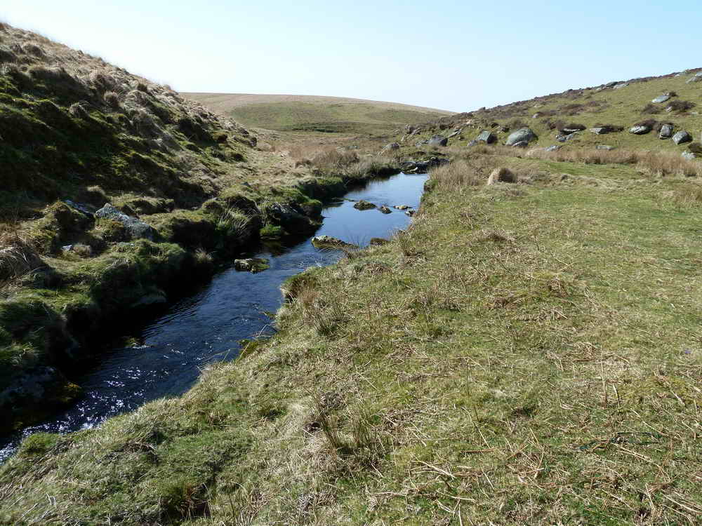
The Plym, not very big in this area.

Looking down on the Plym with a possible dry leat running down the opposite bank.

A double mortar stone in the old blowing house at SX 60355 67240 .....
Remains of the blowing house - this was across the river from the first one .....

Looking at the remains looking north, the Plym is running nearby behind.

Plym Steps area, with Langcombe Brook running into the Plym from the top left.

The Plym is a little wider here.

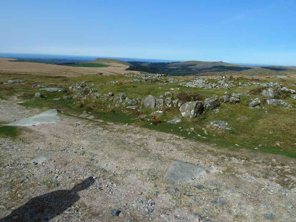
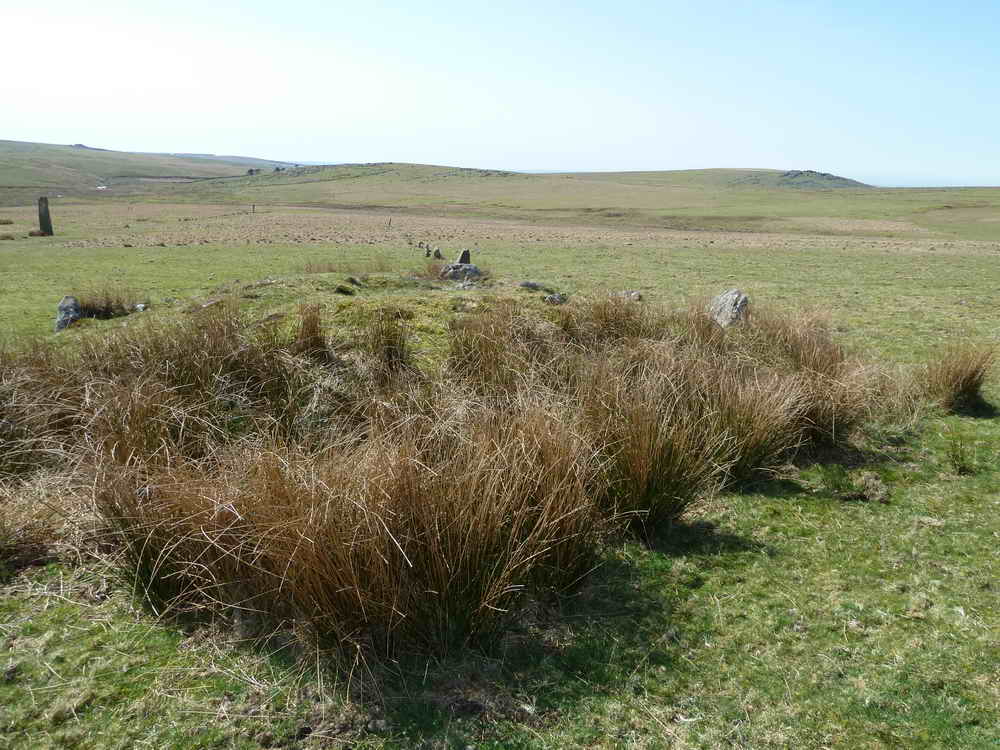
View over the Drizzlecombe monuments from the cairn at SX 59437 67090.

Looking from the terminal cairn (foreground) along one of the three stones rows to its menhir at the other end. The Giant's Basin cairn is at the left.
Another cairn (foreground), stone row and distant menhir. The first row's menhir is seen at the left edge and the third row is seen in the distance (at top left).

Zoomed view to the Giant's Basin and the first menhir.

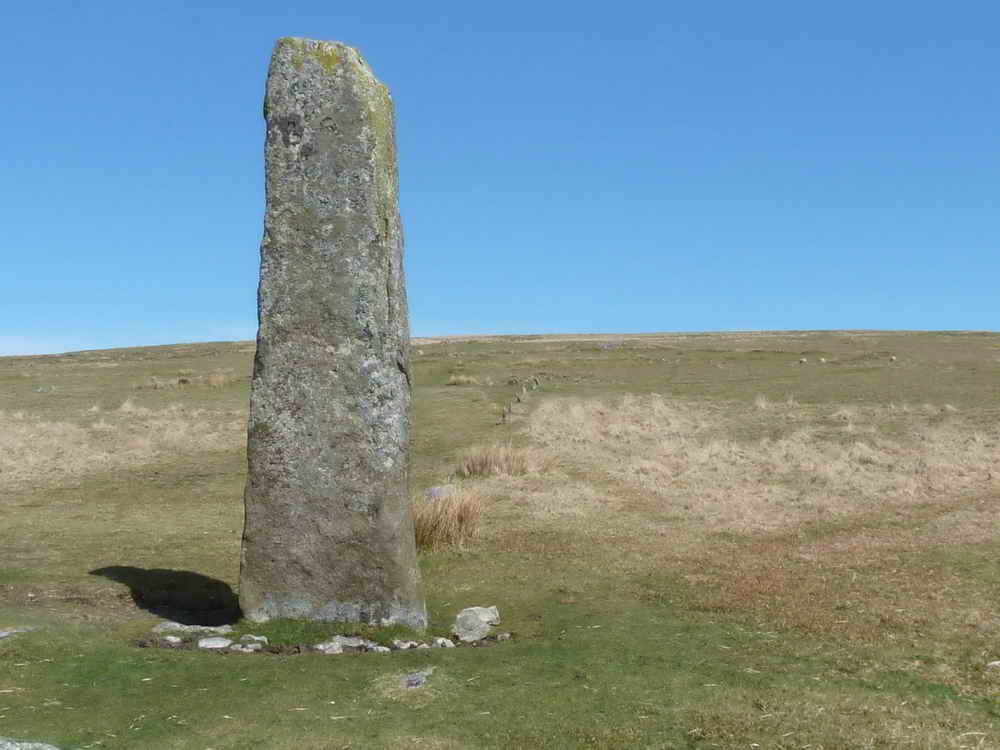
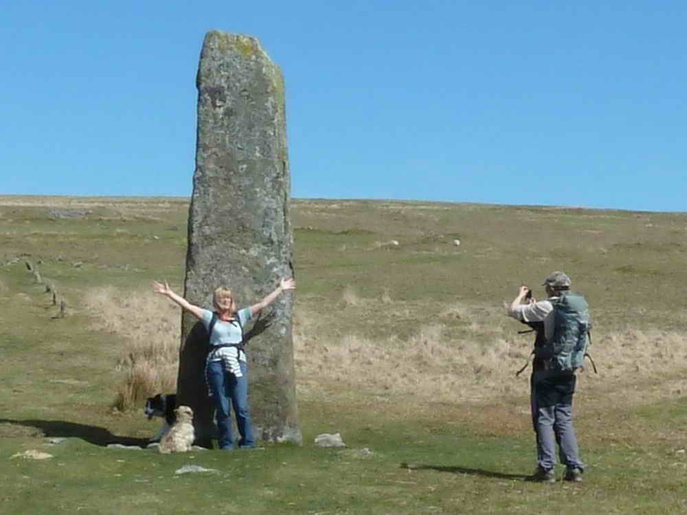
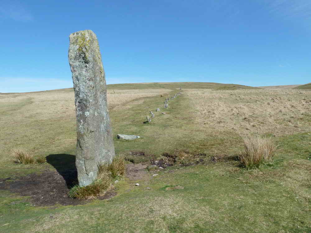
Ron beside the tallest stone on Dartmoor - Devon Archaeological Association's Field Guide No. 11 "The Drizzlecombe Stone Rows" gives its height as 3.2 meters (it was re-erected in 1893).
The menhir from the west with the row visible to its right .....
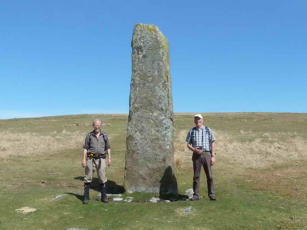
Keith & Ron - photo taken by other walkers passing by .....
The other walkers.

The third stone row, with a cairn near the camera and another menhir in the distance; lookibg towards Ditsworthy Warren House (where the trees are).
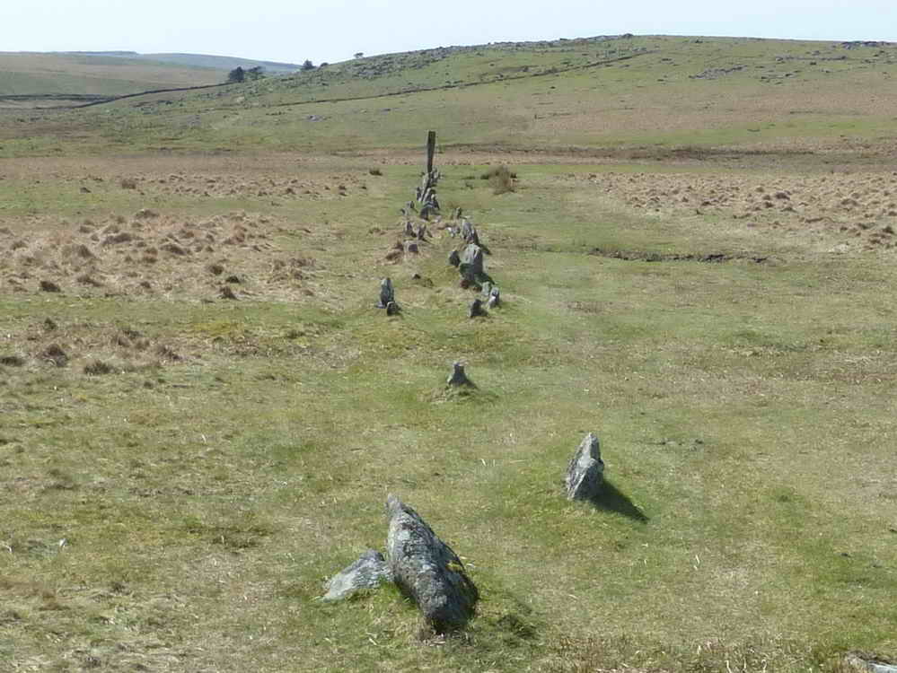
The row is a double row in places,
Looking back along the third row.
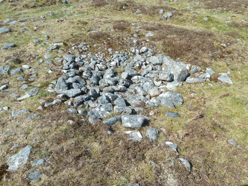
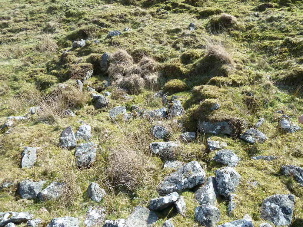
Possible cist, in a ruined cairn at SX 59153 66633, about 20 metres from the river bank.

Cist at SX 59036 66720.

Looking across the Plym to Hen Tor, with a rabbit bury (or pillow mound) of the rabbit warren in the right-hand field.

Approaching Ditsworthy Warren House

Ditsworthy Warren House.

As previous photo.
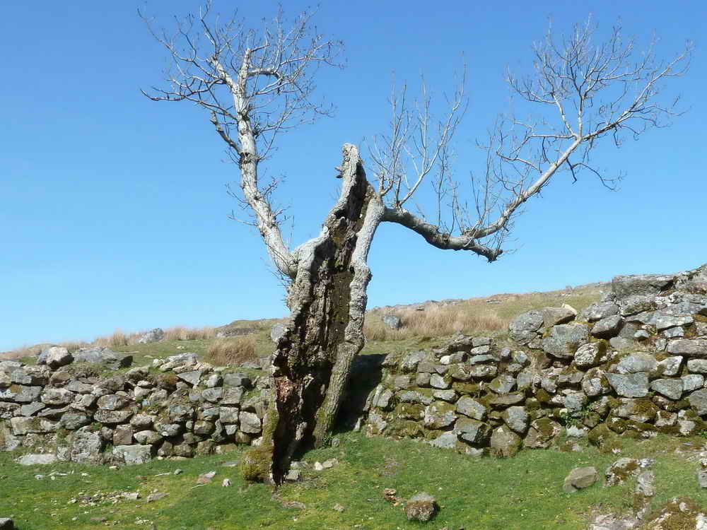
A very worn-out, Disneyesque tree.
 A
A
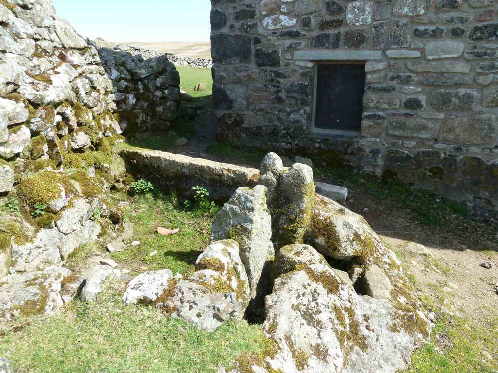
A building known as The Trough, Water from a branch of the leat ran into it from behind (now blocked). The grooved stones would have held a sluice-type mechanism. A pipe leads from the trough and probably conveyed water into the kitchen where it flowed directly onto a stone slab. The building has unusually slotted entrance posts.

Close-up of a versatile moder gatehanger / hinge arrangement.

Looking along Edward's Path, with Gutter Tor on the left.
Zoomed view to Gutter Tor.
As previous but with the trees of the Scout Hut in view.
Red = GPS satellite track of the walk.

Ordnance Survey © Crown copyright 2005. All rights reserved. Licence number
100047373.
Also, Copyright © 2005, Memory-Map Europe, with permission.
The walk is most easily approached by driving over Burrator Dam, through Sheepstor, until reaching a left turn to Nattor. Parking is at the P symbol on the map.
Statistics
Distance - 8.86 km / 5.5 miles
All photographs on this web site are copyright ©2007-2016 Keith Ryan.
All rights reserved - please email for permissions