![]()


This walk: 2011-3-9. Mole hills, pony training circle, Hexworthy, Week Ford stepping stones, Sharp Tor, Haytor, Saddle Tor, Rippon Tor, Horse Ford Cross, Hexworthy mine office, Hooten Wheals mine, Hensroost Mine, barracks, bullet holes, clapper bridge, O Brook, flat-rod track, gerts, reservoir, adder.
A slightly later walk repeated this walk but also included the mine's buddles etc. See 14th April 2011. <<<<<
Walk details below - Information about the route etc.

"Mole City" - mole hills seen in a field beside the road.

A circular training ride for ponies.

A view over Hexworthy.

Zoomed view to Sharp Tor, SX 686 729, elevation 380 metres (1246 feet), over near Dartmeet.

Looking up the track we followed to Hexworthy Mine - this consisted of Hooten Wheals and Hensroost mines, later amalgamated.
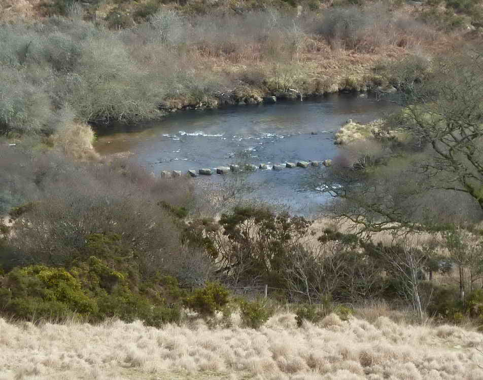
Zoomed view to the Week Ford stepping stones visited on the walk on 16 Feb. 2011.

Another view of Sharp Tor, with, in the distance, Haytor (left), Saddle Tor and Rippon Tor (right).

Horse Ford Cross. The Dartmoor Crosses web site says: "One of a number of crosses that marks the route of the Monks� Path. This is the ancient name given to the track that links the Buckfast Abbey with those at Tavistock and Buckland. This path takes a more northerly route than the more commonly known Abbots� Way."

Another view - the cross was restored in 1884, being fond at this spot which was not its original location, it used to be much nearer to Horse Ford (see map below). It was restored again in 1972.

Remains of the mine office, not a lot to see ..... this was also the mine captains house at one time .....

Remains of the "Barracks", where the miners slept during the week, it is also described as the "dry" where clothes could be dried.

Some pock marks in the cement from bullets fired during target practice at some time in the past, WWII?

Bullet marks.

Moor Strollers listening attentively to stories about how the mine operated ....
Looking south at old mine workings, on the left can be seen the raised bank that carried leat water to a water wheel, the pit being marked by a tree growing in it. This area was highly industrialised in the past, with a 45 foot water wheel, driving 12 Cornish stamps and 16 Californian stamps to crush the ore.

Is our leader trying to cover the graffiti? I couldn't read it anyway!

Clapper bridge over a tributary of the O Brook - where did that name come from?

Another view.
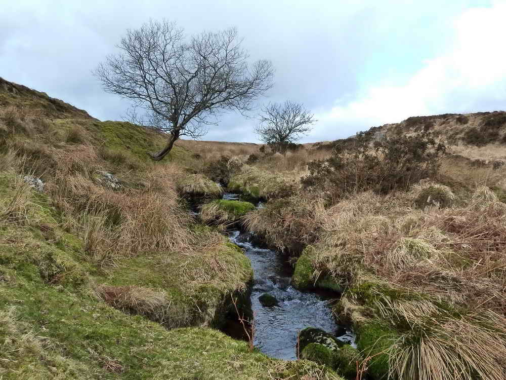
My "arty" photo for this walk, looking up the stream.

They are still gathering at the riverside!
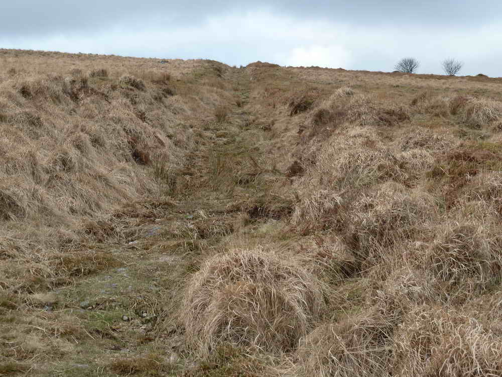
Looking up the old flat-rod track to the upper workings of the mine, going towards the Hensroost workings.

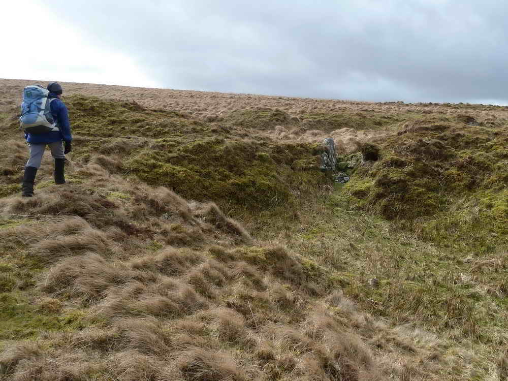
A gert, an old miners' "cut" or workings looking for tin.
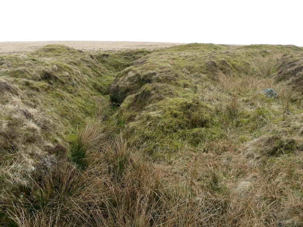
Another gert.
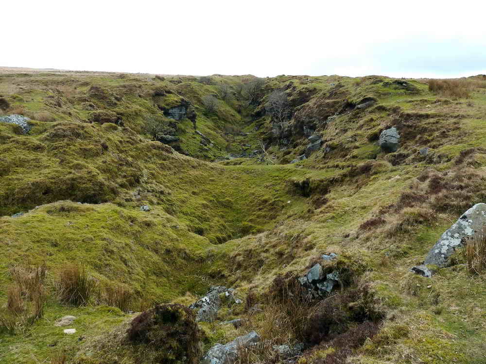
Probable site of the Hensroost shaft.
Nearby is the site of an old reservoir, where water was released through a sluice between the stones seen towards the right in the photograph .....

A view of the sluice looking down the hill. The reservoir can be located on the map below a little below "The Hensroost" where the GPS track ends and returns to the main walk.

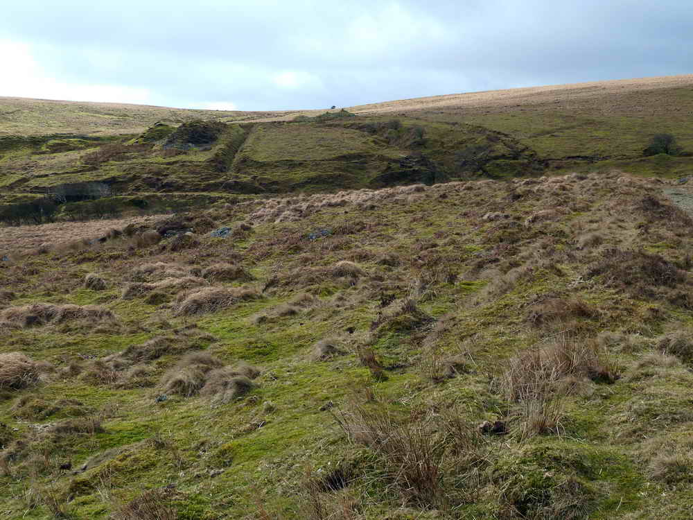
Heading back towards the cars - a featureless area around these parts!

Notice seen on a gate at the end of the walk.
Below, two photos of an adder
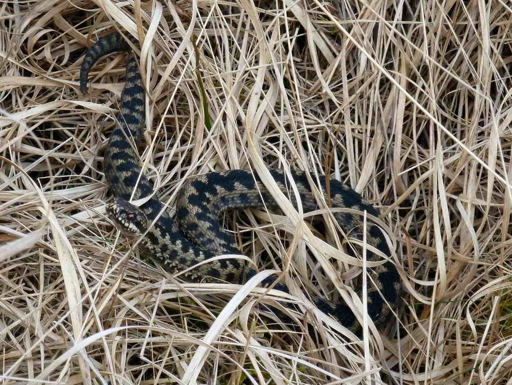
An adder, Vipera berus - this BBC link has a number of videos, just click on the one you want to see .....

Time to slither away.
MAP: Red = GPS satellite track of the walk.

Ordnance Survey © Crown copyright 2005. All rights reserved. Licence number
100047373.
Also, Copyright © 2005, Memory-Map Europe, with permission.
This walk was approached from the Two Bridges-Ashburton road, turning off at the Forest Inn sign near Dartmeet, passing through Hexworthy, passing the Forest Inn and turning right at the top of the hill to park just before the cattle grid. The car park is marked by the yellow cross on the map.
Statistics
Distance - 5.47 km / 3.4 miles
All photographs on this web site are copyright ©2007-2016 Keith Ryan.
All rights reserved - please email for permissions