![]()


This walk: 2011-12-14. Bonehill Rocks, Bel Tor, Haytor Rocks, St Pancras Church, Cathedral of the Moor, Widecombe-in-the-Moor, rock pans, Chinkwell Tor, Honeybag Tor, cairns, Thornhill Lane, Sharp Tor.
Walk details below - Information about the route etc.
Another walk in this area was undertaken on 5 November 2009.
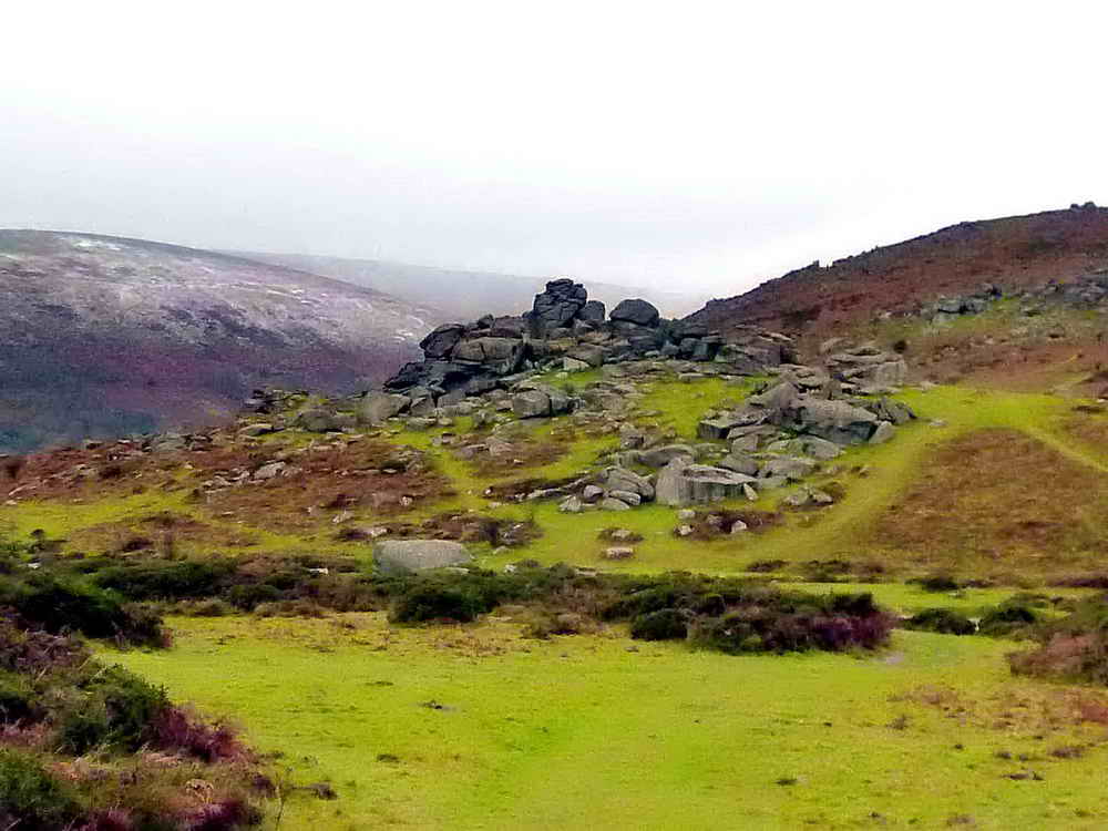
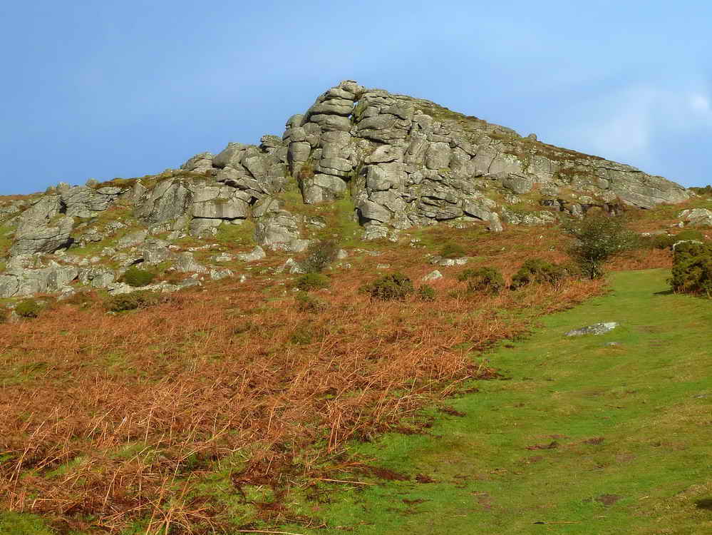
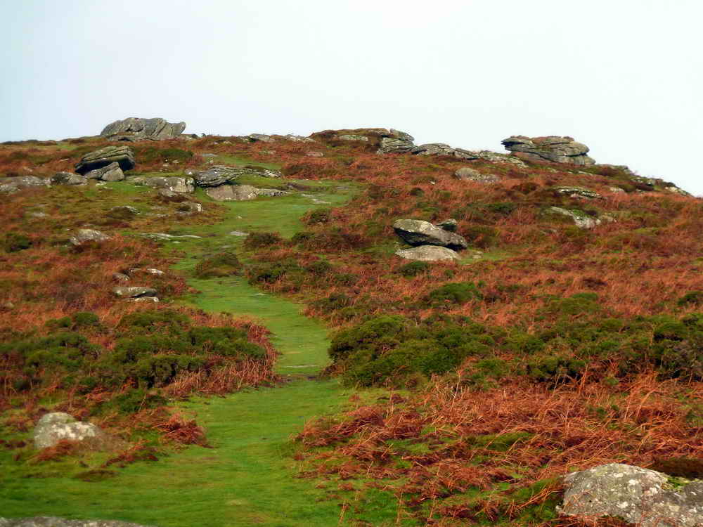
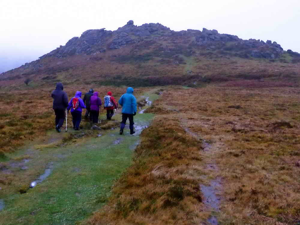
Bonehill Rocks ahead .....
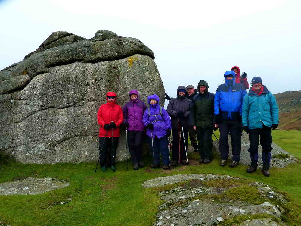
A good place to shelter from the strong wind and the horizontal rain that was only broken by the snow that followed - also horizontal!
Bel Tor.

See that white stuff between us and Haytor Rocks?
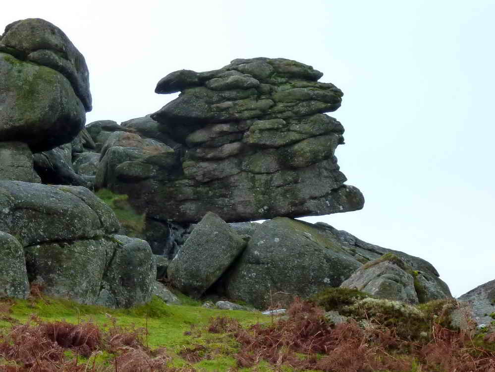
A precarious rock pile on the way to Bel Tor.
Part of Bel Tor.
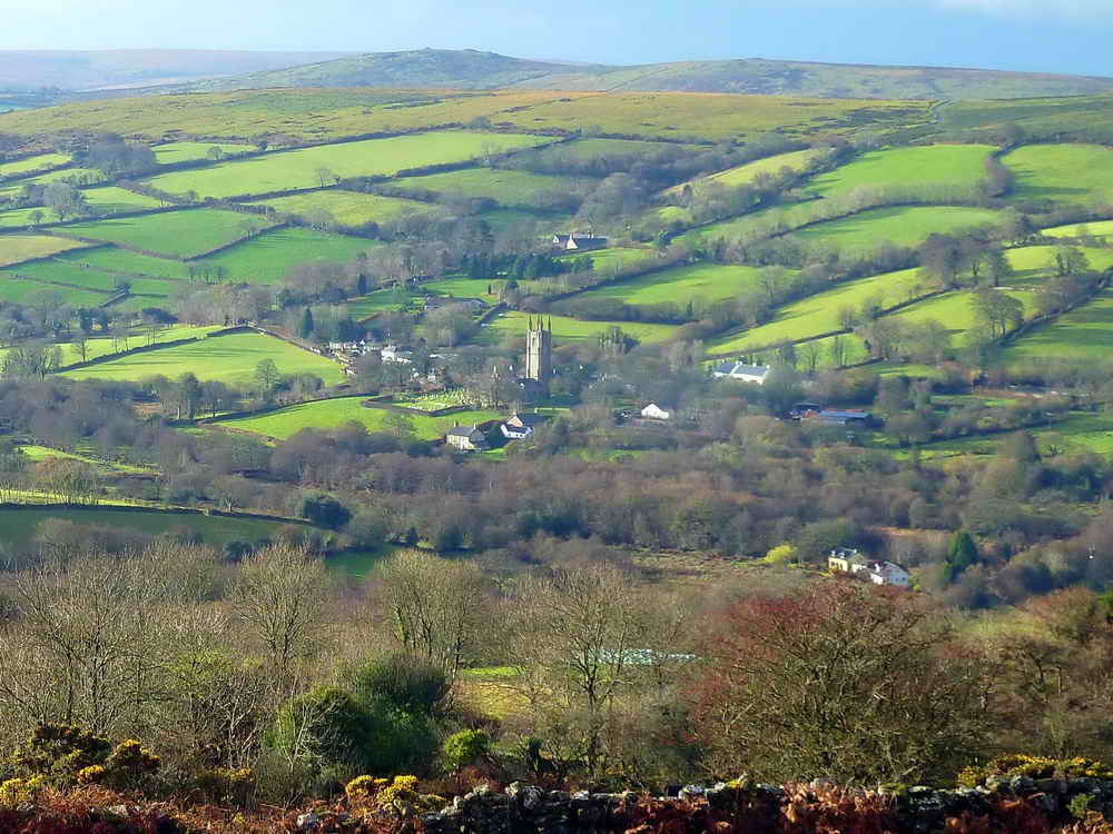
St. Pancras Church at Widecombe-in-the-Moor, known as "The Cathedral of the Moor" - the sun is shining!

Approaching Bel Tor - look at the length of the shadows!
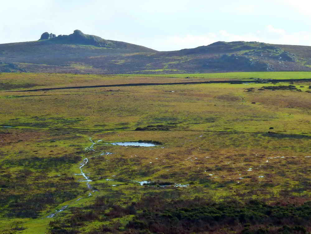
Looking towards Haytor Rocks (left) and Saddle Tor (right). The pond might be that at SX 7444 7713, although this might be erroneous.
Looking from Bel Tor to Chinkwell Tor .....
Zoomed view to Chinkwell Tor.

Rock pan with a deep lip on the top of one pile on Bel Tor .....

Rock pan on a second pile.

A little snow on the slope of Hamel Down.

A perched rock on Bel Tor ....
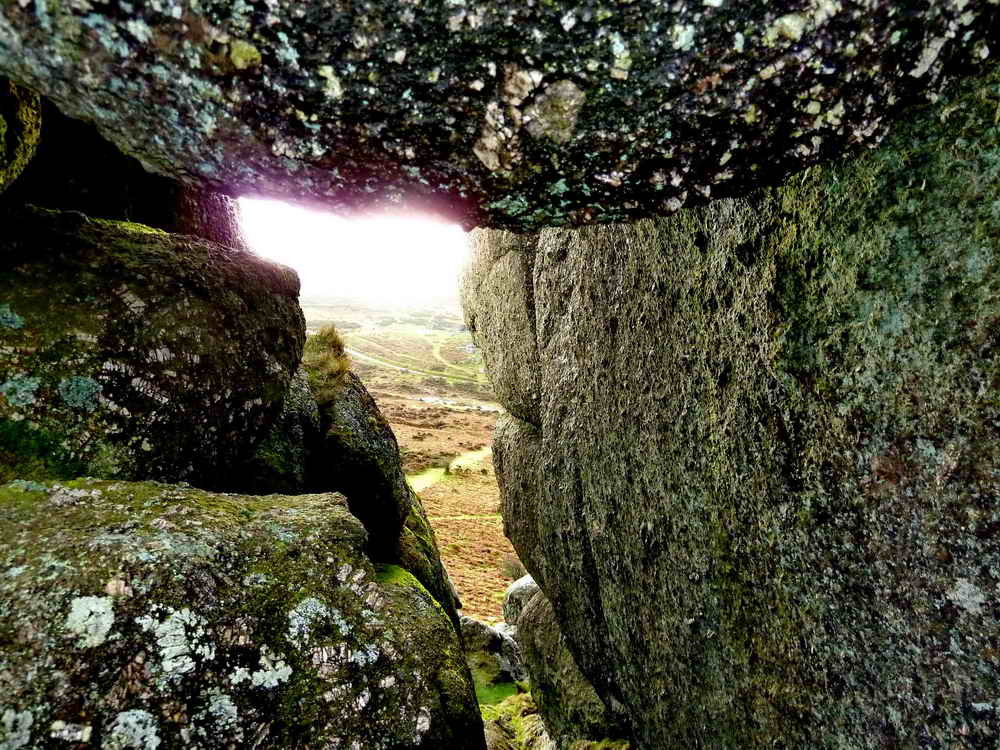
Looking through th'ole .....
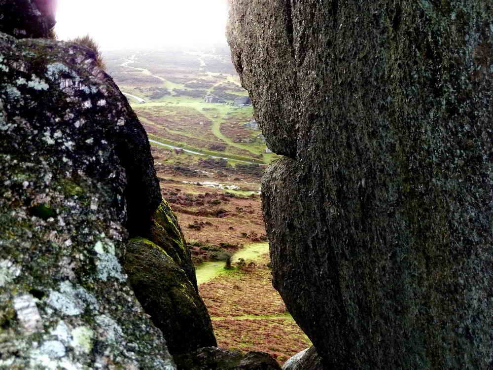
And zoomed again!

Another view down to Widecombe.

Two cairns on the top of Chinkwell Tor .....
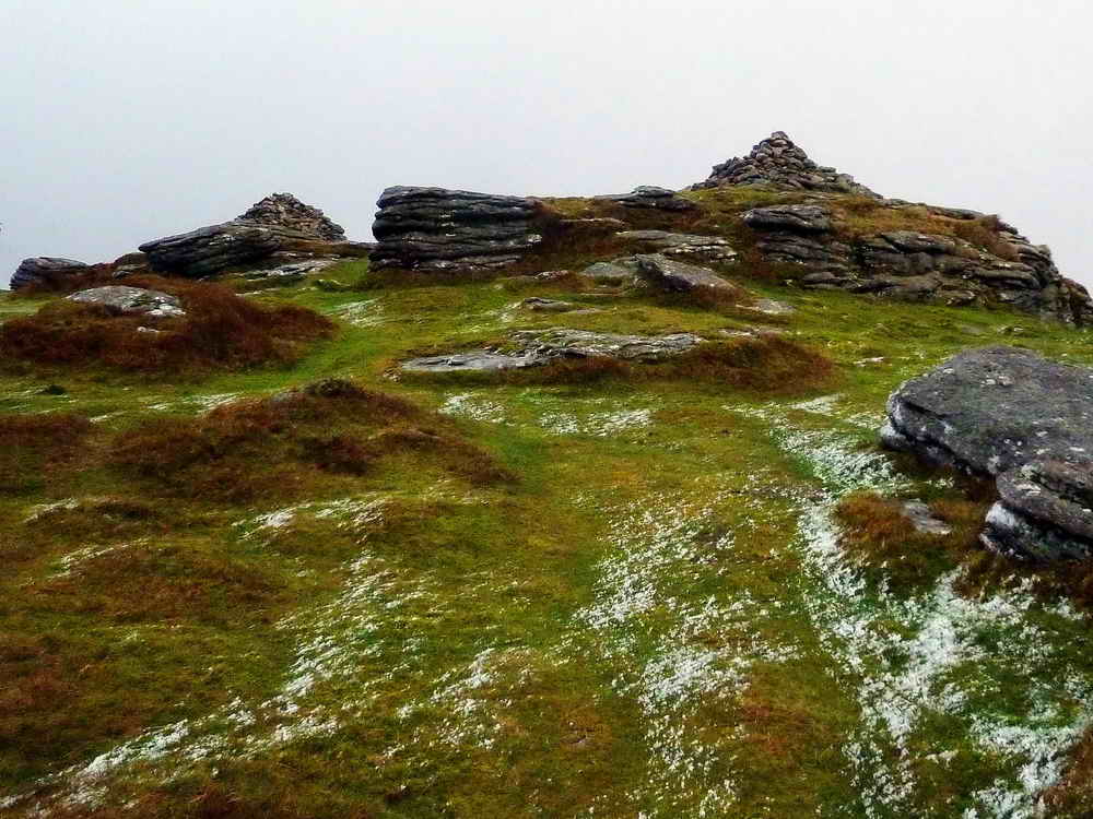
Closer view, with a little snow.

Roger reaches the summit .....

Jess, in mid-air, not to be outdone!
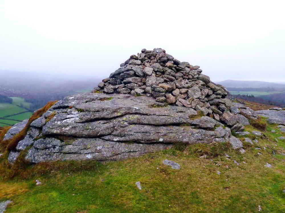
One of the cairns.
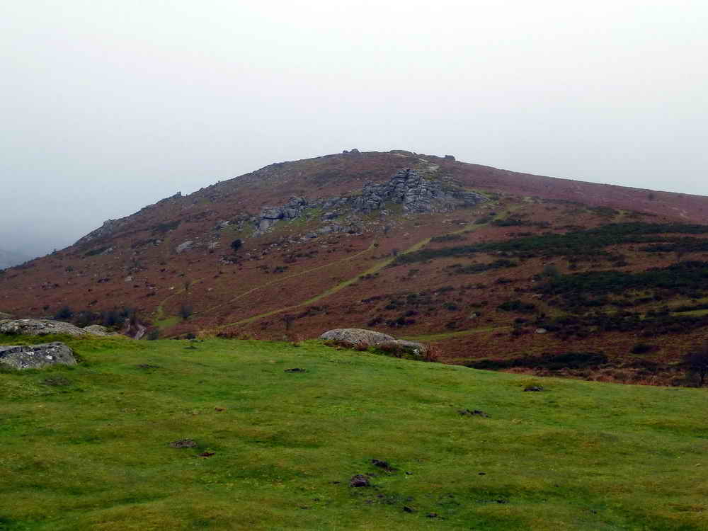
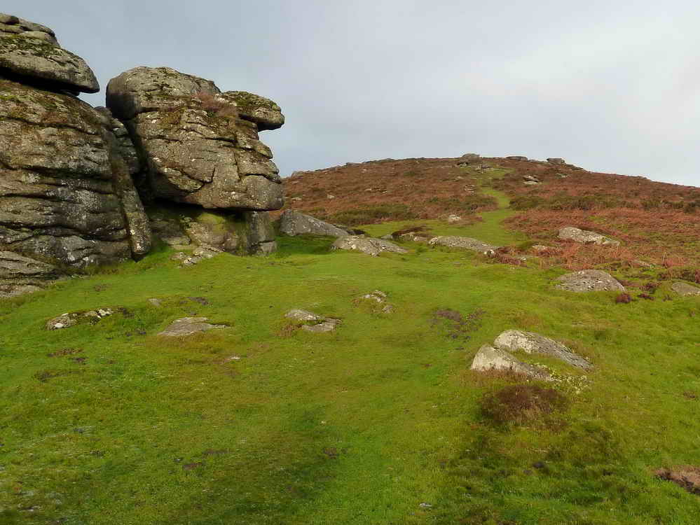
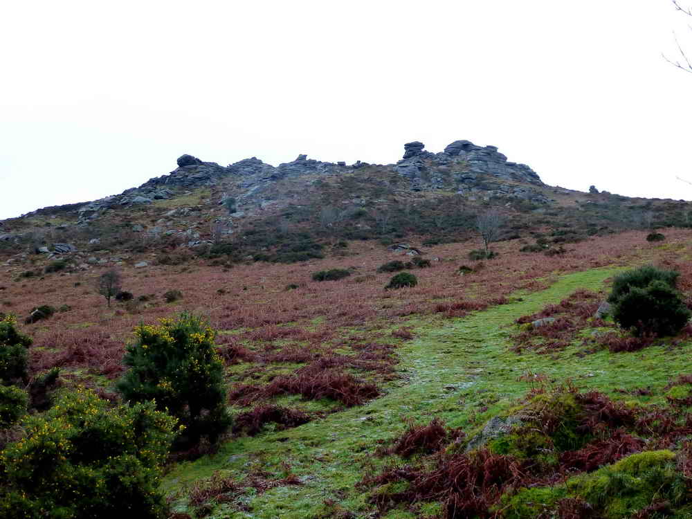
Looking up at HoneybagTor - we turned left just ahead.
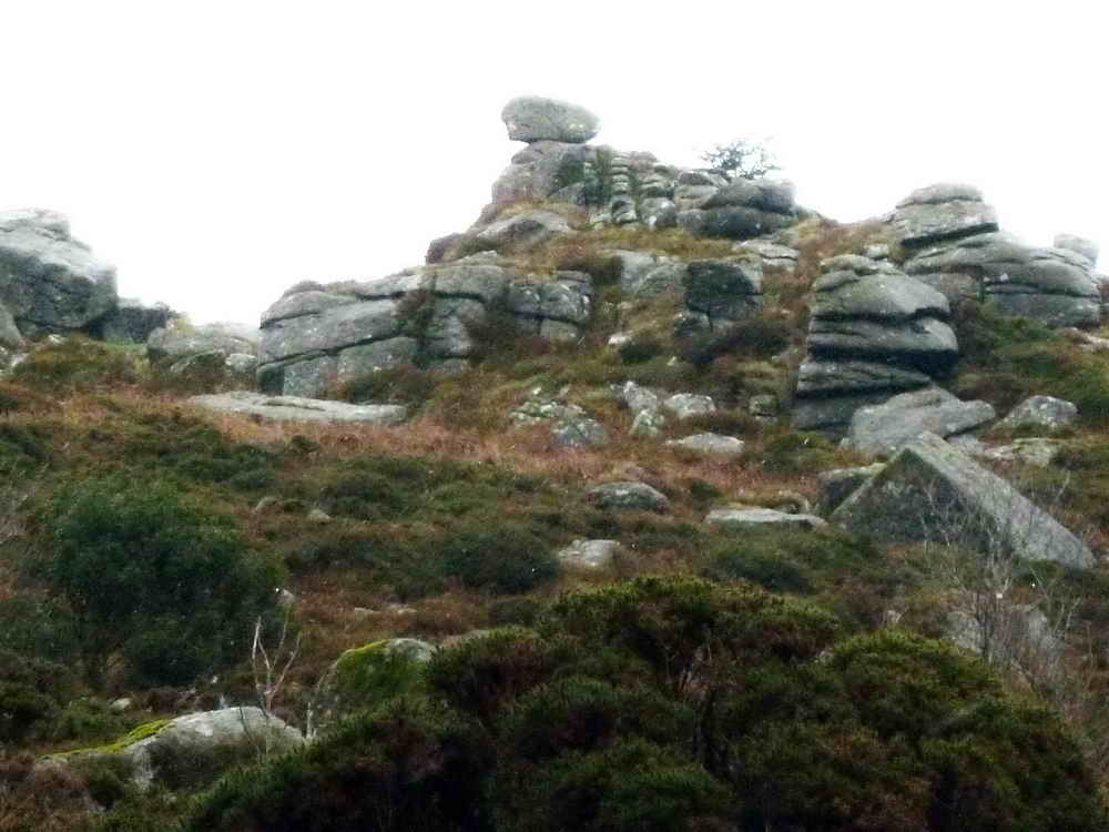
Looking back at Honeybag Tor.
Another precariously perched rock, seen from Thornhill Lane; this was a well-used horse and wagon route between the Natsworthy Manor area and Ashburton, heading via Hemsworthy Gate and Cold East Cross, stopping awhile at the New House Inn.

Sharp Tor, a lesser tor on the west side of Chinkwell Tor, mentioned in Crossing's Guide to Dartmoor (page 296, 6th line from bottom, and page 314, 4th line from bottom).
MAP: Red = GPS satellite track of the walk.

Ordnance Survey © Crown copyright 2005. All rights reserved. Licence number
100047373.
Also, Copyright © 2005, Memory-Map Europe, with permission.
This walk was reached from Plymouth, via the A38 past Ashburton, turning off north at the Newton Abbot turn-off (signed "Widecombe"), via Hooks Cross, Owlacombe Cross, Halshanger Cross, Cold East Cross (turn right), Hemsworthy Gate and parking at the yellow cross (and the P symbol) on the map.
Statistics
Distance - 4.76 km / 2.96 miles
All photographs on this web site are copyright ©2007-2016 Keith Ryan.