![]()


This walk: 2011-11-9. A very wet day. Gibbet Hill, possible sunken lane, bracket fungus, Gibbet Hill, Wheal Betsy, WD1 stone.
Walk details below - Information about the route etc.
Looking west from where we crossed the road from the car park .....

Zoomed view of some autumn colours still on the trees.

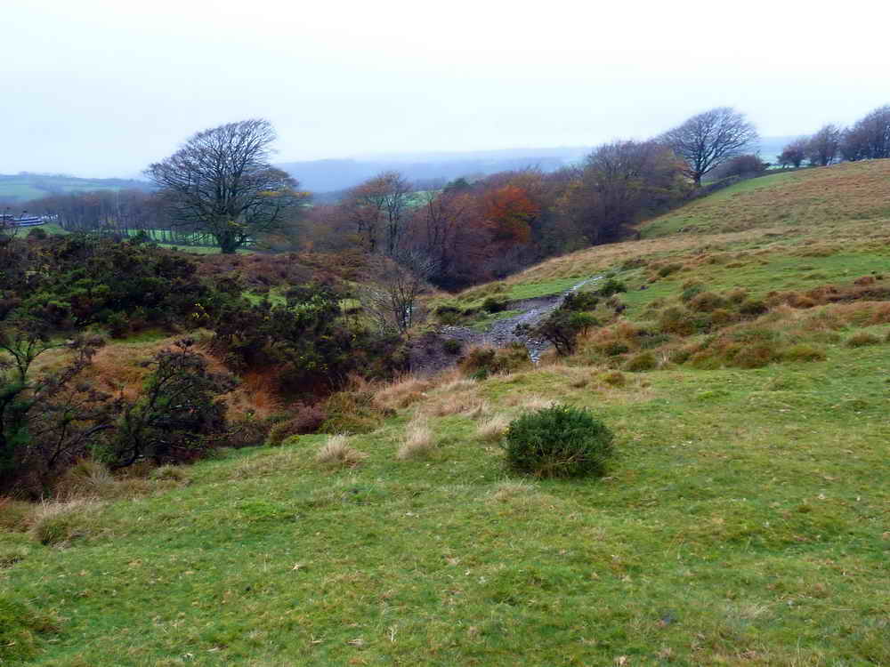
A "ditch" running along the wall from the car park .....
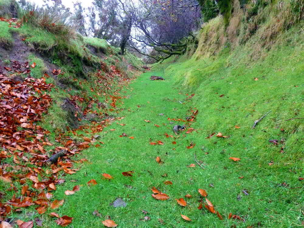
Down ion the "ditch", perhaps on old sunken lane?
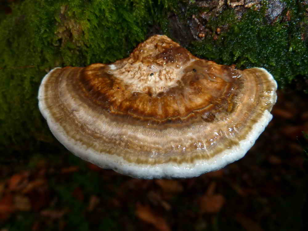
Bracket fungus on a dead tree .....
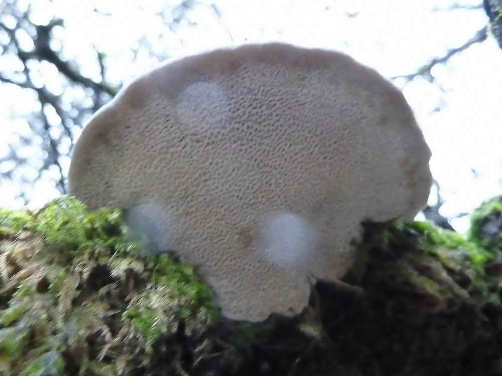
Undersurface showing pores and not gills, plus three instant raindrops!
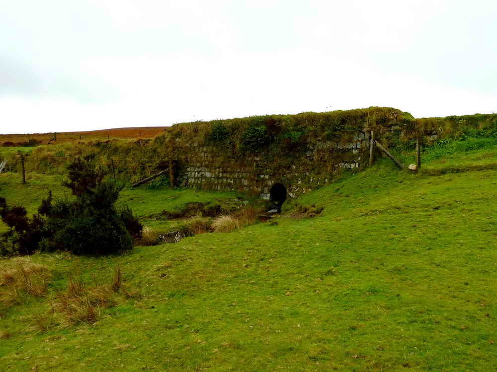
Road bridge at SX 50938144.
The walk went near to Gibbet Hill, where there was a gibbet 200 years ago in which unfortunates were left to starve as a deterrent to would-be highwaymen. Another account says that offenders were placed in a cage at Iron Cage Gate (at the end of Burn Lane) and then taken to Gibbet Hill to be hanged. The last notorious highwayman locally was Dick Rawley who used to escape capture by hiding in the many shafts and adits of Wheal Betsy mine. He was eventually caught and caged on Gibbet Hill.
Gibbet Hill pits are part of the shafts and pits of Black Down mine workings.
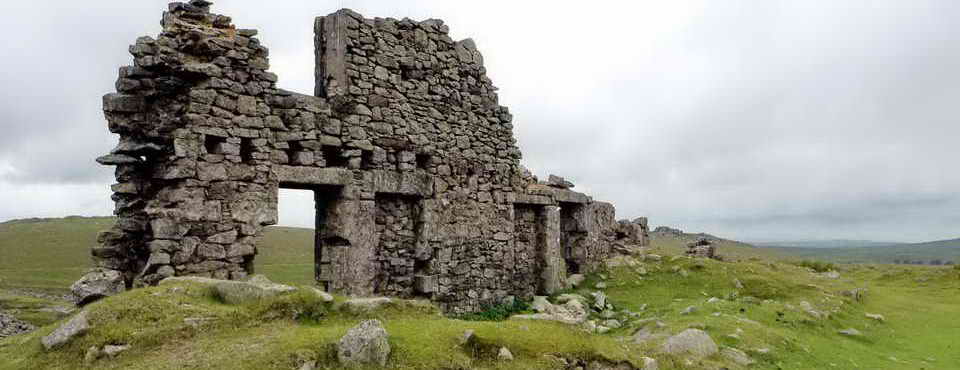
Wheal Betsy mine was built in the 1860s and housed a Cornish pumping engine, part of Wheal Friendship mine. Wheal Betsy was visited on 2 Sept. 2009. The area produced copper, lead, arsenic and silver (but mostly lead), closing in 1877.
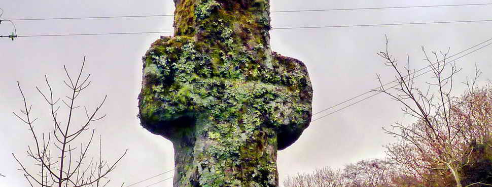
The WD1 stone, shown on the map at SX 5185 8258, dates from the 3200 acres of Willsworthy Manor that was bought for Willsworthy Range by the War Department in 1903. The sequence goes up to WD46 and is shown in Dave Brewer(2002) Dartmoor Boundary Markers, Halsgrove, page 213 (Fig. 74).
Red = GPS satellite track of the walk.
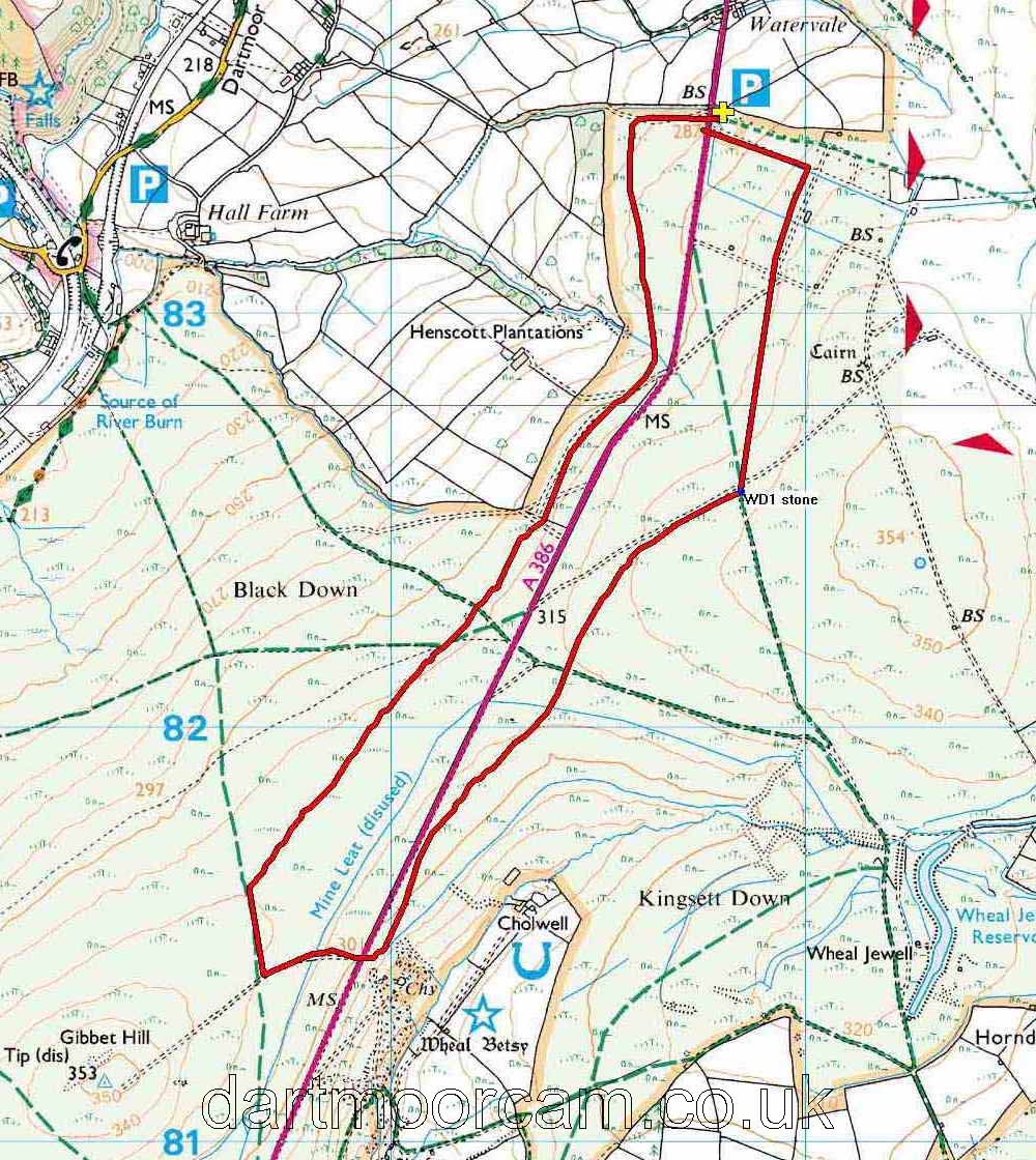
Ordnance Survey © Crown copyright 2005. All rights reserved. Licence number
100047373.
Also, Copyright © 2005, Memory-Map Europe, with permission.
This walk was approached by driving from Tavistock towards Okehampton and parking on the right, at the entrance to Willsworthy Ranges, just where the high, open moor that passes Wheal Betsy ends and enclosed fields begin, marked by the yellow cross and the P symbol on the map.
Statistics
Distance - 5.5 km / 3.4 miles
All photographs on this web site are copyright
©2007-2016 Keith Ryan.
All rights reserved - please
email for permissions