![]()


This walk: 2010-9-8. Venford East car park, South Devon cows, Dry Channel, Hamlyn's (Holne Moor) Leat, Tormentil, fallen tree, gulley, girt, trench, Ringleschutes Mine, engine house area, collapsed chimney, cairns, RD/H - PUDC catchment area boundary stones, gorse, Holne Town Gutter, spider - Araneus quadratu.
Walk details below - Information about the route etc.

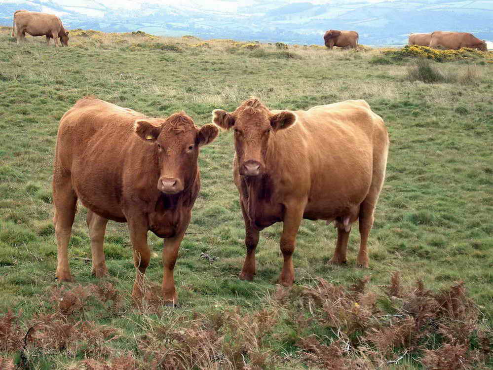
South Devon cattle - playing silly beggars at the car park entrance - they were slow to move!
Track of the old road that went down
to a bridge over Venford Brook, now submerged under the reservoir. The dam was
meant to be
51 feet high but it took so long to build that Paignton grew and
another 3 feet were added, which doubled its capacity.
"Dry Channel" marked on the map - the old Hamlyn's (Holne Moor) Leat.

Opposite, across the reservoir, the
water flowing into the reservoir is from the Swincombe, there�s an intake and
small reservoir on the
Swincombe and the water is piped to Venford Reservoir. Water from the Holne Moor
(Hamlyn�s) leat goes under the reservoir somehow
and up the other side to the leats which supply the Stoke farms.

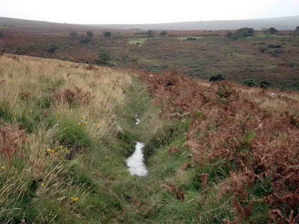
Leat at SX 68373 70108 - flowing towards Holne, Holne Town Gutter.
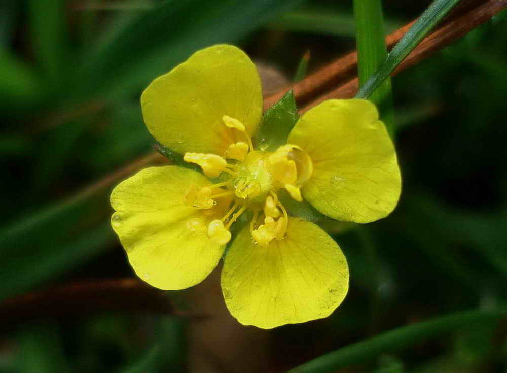
Tormentil, Potentilla erecta, a small flower, commonly seen on Dartmoor .....
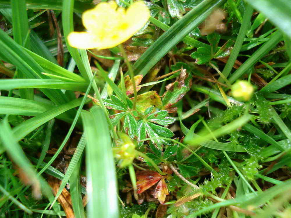
and its leaf (centre), palmate, like a hand with fingers.

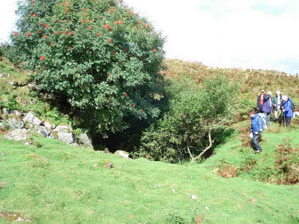
The half-buried stone was investigated to see if it was a "Whim plat" stone - it wasn't - see Cornish mining terms.
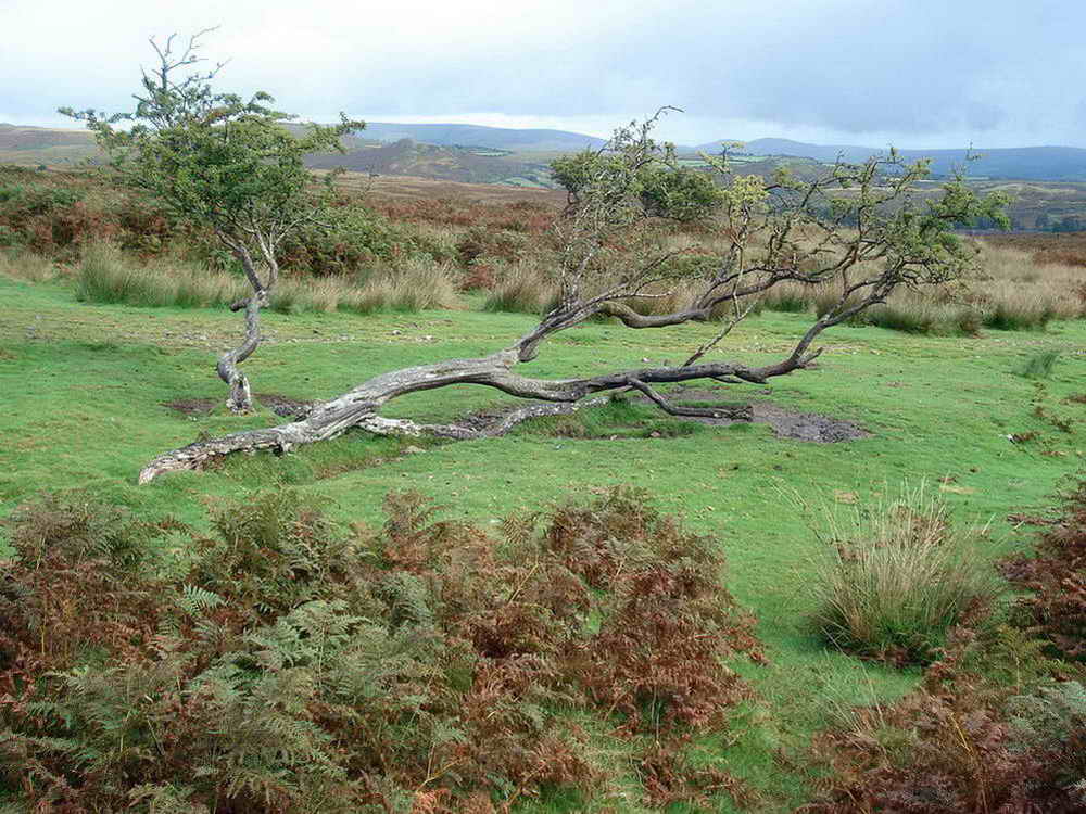
A completely fallen but still growing tree.

"The Barracks" at Ringleshutes Mine, where the men "hot bunked".

Looking from the other end of The Barracks.

The gully/girt/trench on one side of the path .....

And ..... on the other side of the path.

Another nearby trench.

Slow moving low cloud or mist.

Flat area that was once a whim
platform. From a
Glossary of Cornish Mining Terms - "Similar to a capstan, but in this case
power supplied
by a horse walking around a circular platform (PLAT) was applied to an overhead
winding drum; frequently used for winding from small
shafts on Cornish mines, especially during exploratory work and shaft sinking.
The smaller undergear whims found in some 19th century
farms were little used on mines."

Still part of the flat area but looking towards the ruined engine house.
Engine house area.

Collapsed chimney.
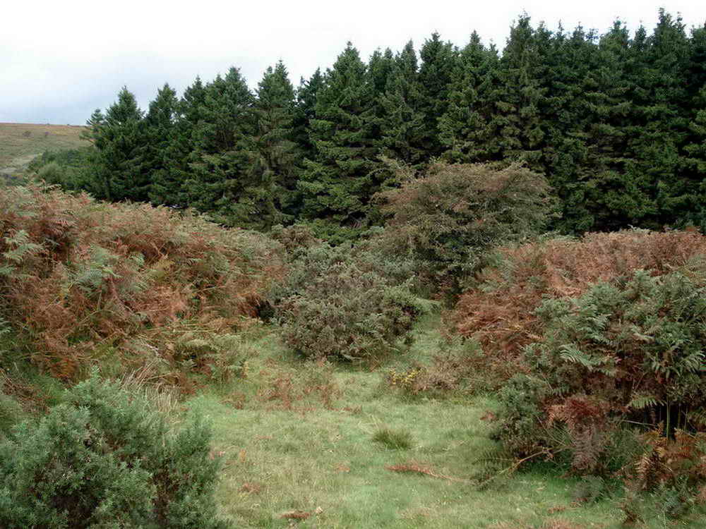
A general scene in the area.

We were "buzzed"!

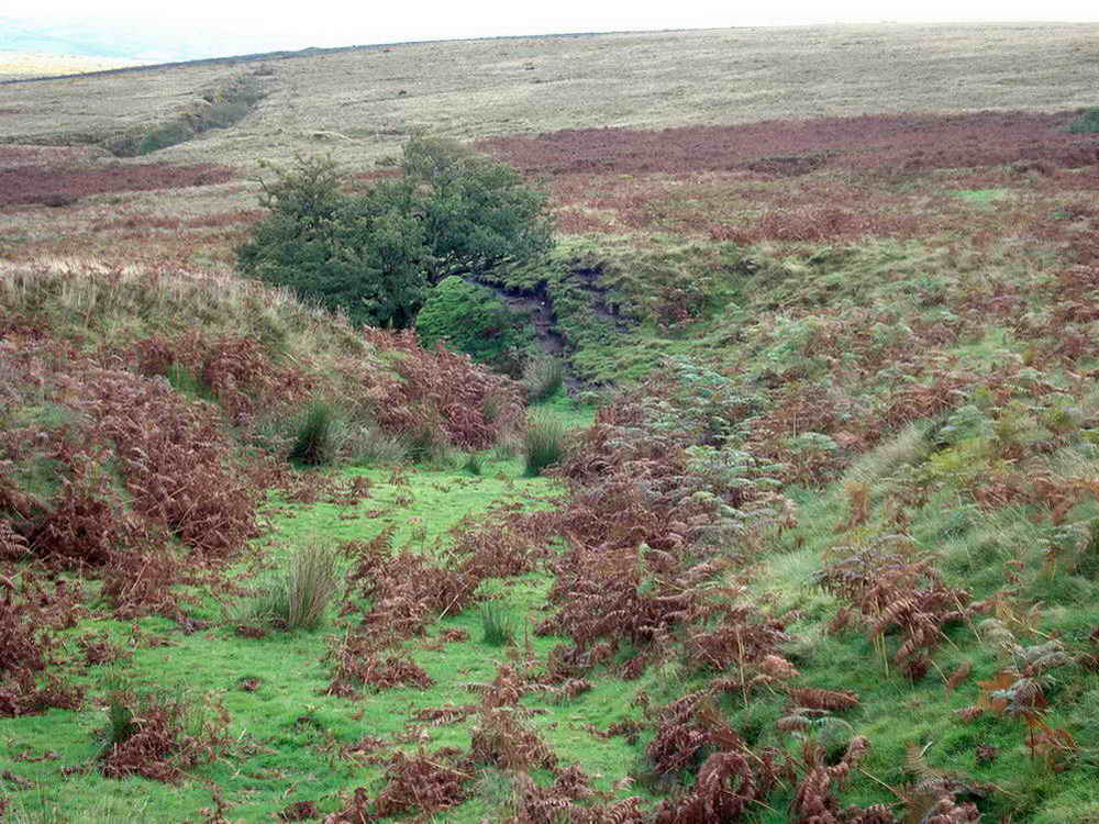
A gnarled tree stands guard over another trench.

A view along the old tin-working trench.

This is a cairn, in the SX 678 695 area .....

Another view looking back at the cairn.
Me and my sister!

RD / H - Bound stone marking land on this side belonging to Richard Dawson, Lord of the Manor of Holne .....

On the other side, PUDC - Paignton Urban District Council, marking the edge of the catchment area for the reservoir.

This photograph was taken to show the sun shining on a few fields.

A large cairn at SX 6849 6980.
Another view.

General view of the yellow flowers of the mainly low-growing Western gorse, Ulex gallii, the spines are slightly recurved. The larger shrubs are the common or European gorse, Ulex europaeus.

Western gorse flower .....

As previous photo.

Another look back at the cairn.

Far view to gorse-filled fields.

Bridge over Holne Town Gutter .....

Another view.

A leat repair, using an old railway sleeper.

Unidentified spider - try identifying it here ..... there are over 600 species in the Britain ...... Araneus quadratu ..... I do believe it is!
MAP: Red = GPS satellite track of the walk.

Ordnance Survey © Crown copyright 2005. All rights reserved. Licence number
100047373.
Also, Copyright © 2005, Memory-Map Europe, with permission.
This walk was approached from the Plymouth direction by the A38 exit at Ashburton, following the road to Holne and parking at the P symbol on the map with the yellow cross.
Statistics
Distance - 5.90 km / 3.67 miles.
All photographs on this web site are copyright ©2007-2016 Keith Ryan.