![]()


This walk: 2010-9-30. Norsworthy Bridge car park, tin mine, water wheel pit, clapper bridge, Devonport Leat, spider webs, gorse, Leather Tor, Sheepstor, Burrator Reservoir, Cladonia-type cup lichen, Cross Gate Cross, sawn log, Cross Gate cist and cairn.
Walk details below - Information about the route etc.
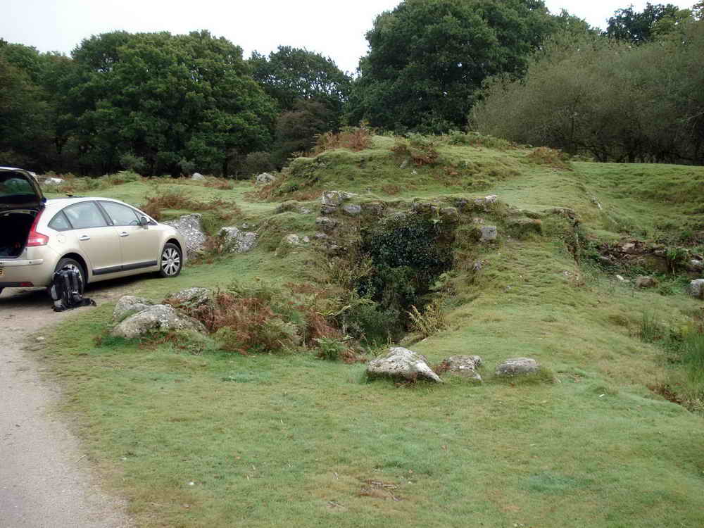
The wheel pit of the old tin mine that was on the site of Norsworthy Bridge car park.
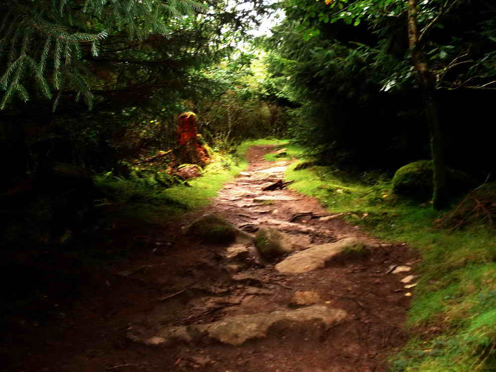
Footpath runnning westward from Norsworthy Bridge up through the plantation.
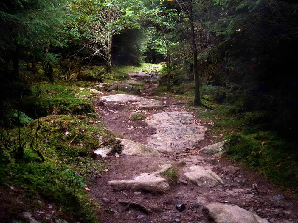
As previous photograph.

Clapper bridge over Devonport Leat.

Spiders webs showing up in the gorse with the dew .....

Close-up of previous.
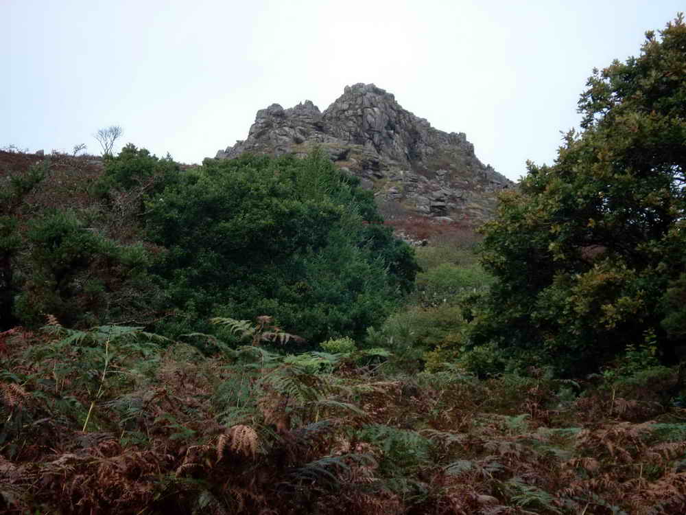
A view to Leather Tor, also known as Lether Tor and Lodetorre, at SX 563 700, elevation 380 metres (1247 feet).

A piece af man-made wall en route through the extensive clitter below Leather Tor.
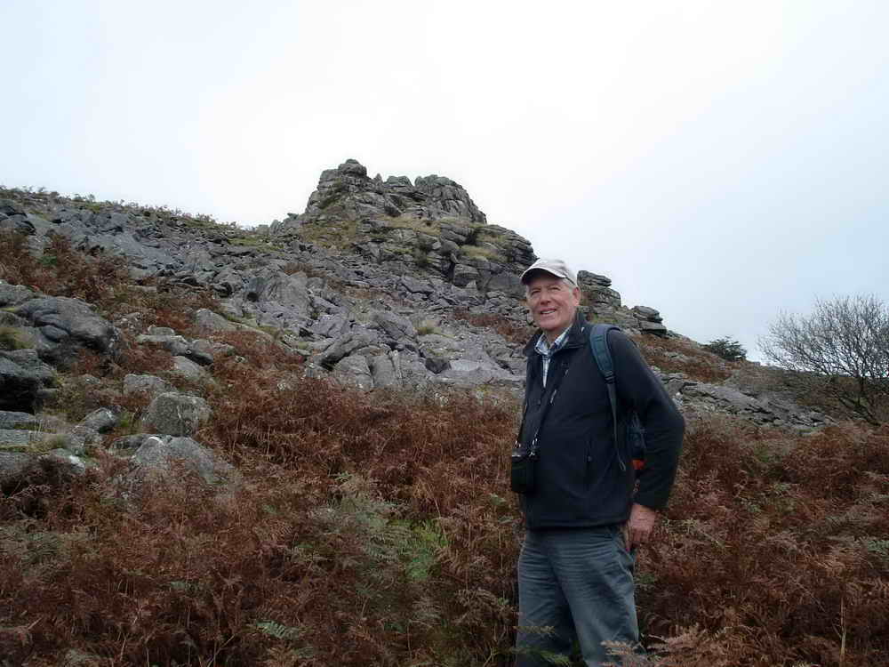
Ron with Leather Tor behind - it was his idea!

View after the scramble through the clitter.

Sheep with Sheepstor behind.

View to the Scout Hut.
![]()
Panorama from Leather Tor over Burrator Reservoir. Click here to see a larger version.

Looking back at the tor with heavy rain falling.

Cladonia-type cup lichen growing on a waymark post .....
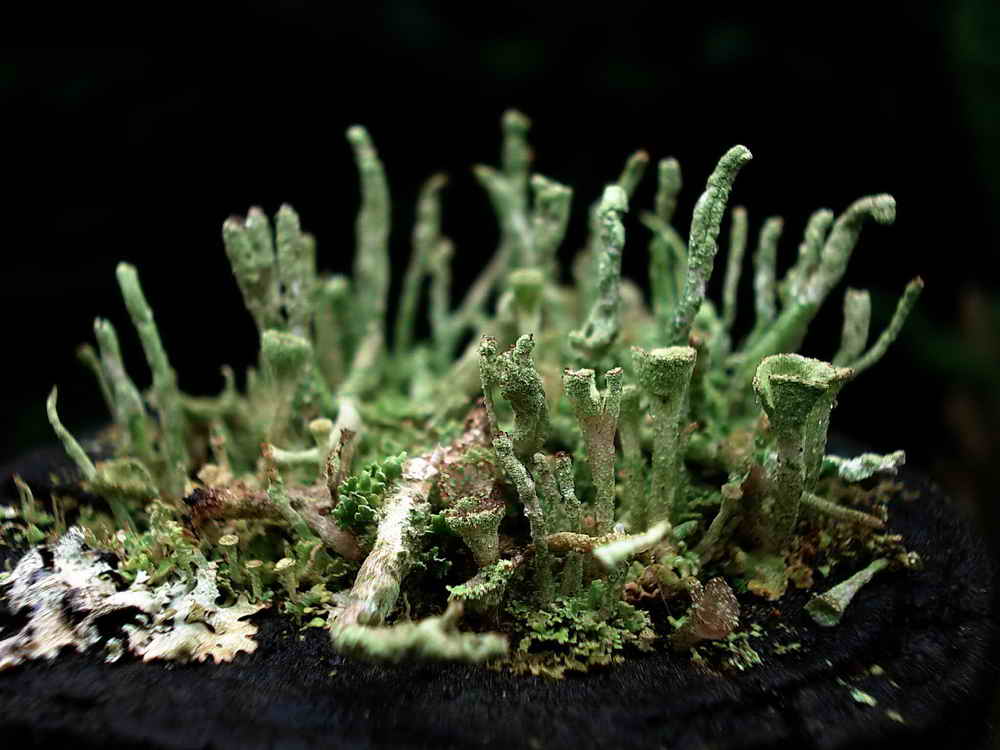
Close-up.

Sheepstor in the rain.

Devonport Leat in spate.

Another view with of Devonport Leat with Cross Gate Cross in the background .....

As prevous photograph.


Detail.

Sawn log, 36-37 years old.
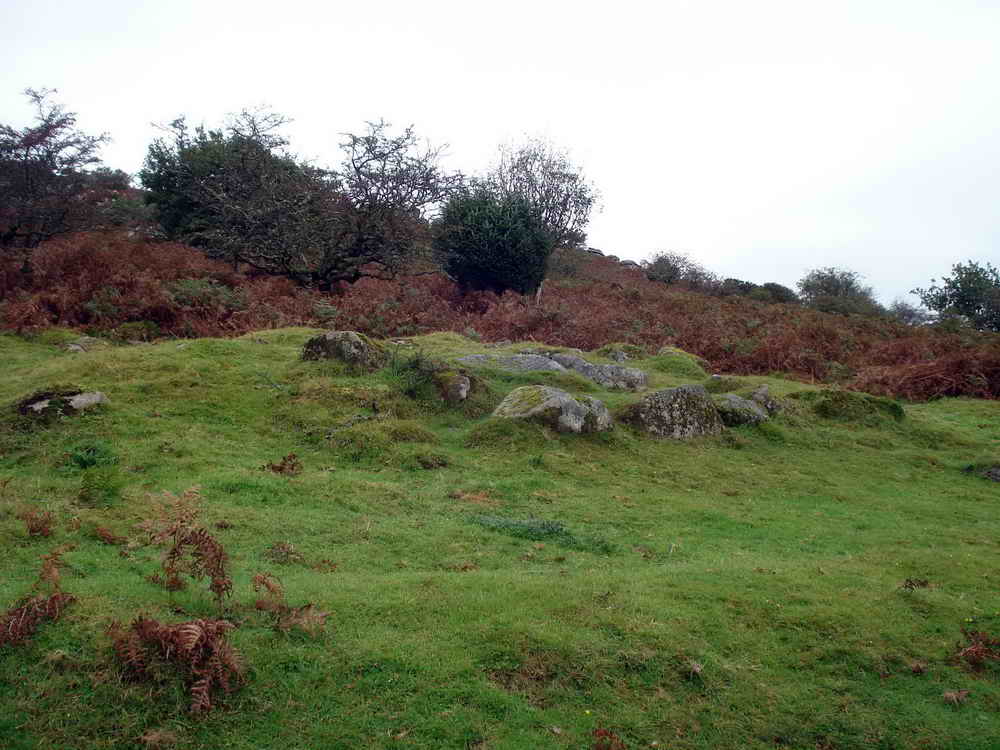
Cross Gate cist and cairn at SX 56312 69530.
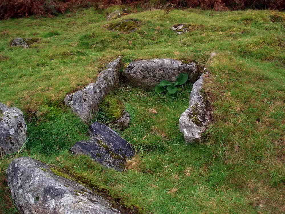
Discovered only in 1935, a robber's trench can be made out from bottom right (Source: J. Butler (1994) Dartmoor Atlas of Antiquities Vol. III page 52.)
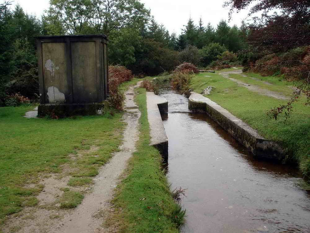
A Plymouth Corporation Water Works (originally) arrangement in the leat.
MAP: Red = GPS satellite track of the walk.

Ordnance Survey © Crown copyright 2005. All rights reserved. Licence number
100047373.
Also, Copyright © 2005, Memory-Map Europe, with permission.
This walk was accessed easily from the Norsworthy Bridge car park at the north-east i.e. far end of Burrator Rreservoir, using roads through Yelverton and Dousland. The car park is marked by the yellow cross by the P symbol on the map.
Statistics
Distance - 3.93 km / 2.44 miles
All photographs on this web site are copyright
©2007-2016 Keith Ryan.
All rights reserved - please
email for permissions