


This walk: 2010-1-4. GWR rail track bed, PDR rail track bed, granite sett, animal feeder, poetry plaque, cattle creep, Ingra Tor, Ingra Tor Halt, quarry, crane bases, Swelltor Quarries, willow/sallow tree, Sharpitor, Hercules transport plane, pineapple weed, livestock "lick", ash keys, ponies.
Walk details below - Information about the route etc.
This walk covers ground that was covered on 25 Feb. 2009 and 21 Apr. 2010.

The old GWR railway after crossing the main road - now a tunnel of trees.
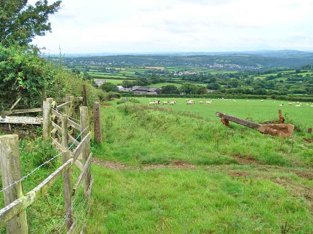
This is where the PDR (Plymouth & Dartmoor Railway) joined the GWR track from the left, except that the PDR was here first!
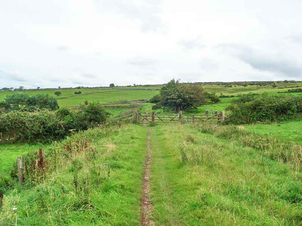
Looking along the old track bed out towards the open moor.
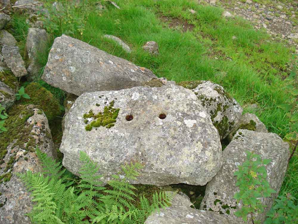
Granite sett to which the rails were attached.

Bridle path coming across the track at SX 5480 7036 .....

The sign on the gate.

Presumed winter feeder for livestock.

Gateway to Cornwall!

Poetry plaque attached under the cattle creep at SX 5454 7079, more features photographed here: 21 Apr. 2010.

Cattle creep under the old railway, where the plaque can be found.

Top view of the creep.

Two lonesome trees.
Panorama showing Brentor (extreme left), Pu Tor (with Pu Tor cottage in front), Cox Tor, Staple Tors, Great Mis Tor, Little Mis Tor - click the image to see a larger version.

Staple Tors.

A collapsed/filled-in cattle creep ..... with Ingra Tor behind .....

A well-built culvert for a small stream alongside.

The railway bed beginning to curve left, to pass around Ingra Tor.
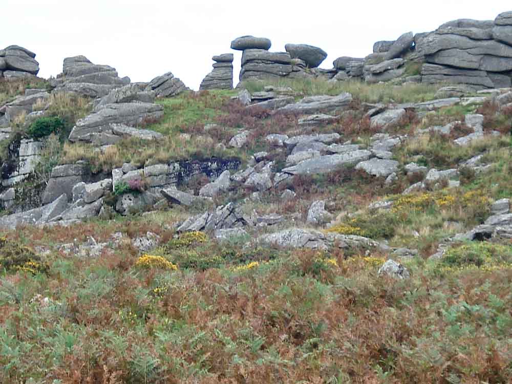
Looking up at Ingra Tor, at SX 555 721, also known as Chip Tor, Inner Tor and Ingater Tor, elevation 339 meters (112 feet).
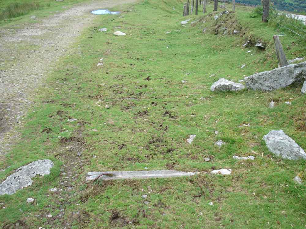
The last of the wooden sleepers, at Ingra Tor Halt.

Entering Ingra Tor quarry ..... two crane bases are still here.

Looking from inside the quarry across to Swelltor Quarries.

A lone willow/sallow(?) tree grows in the quarry.

A crane base in more detail.

Looking down on the concrete base at Ingra Tor Halt.
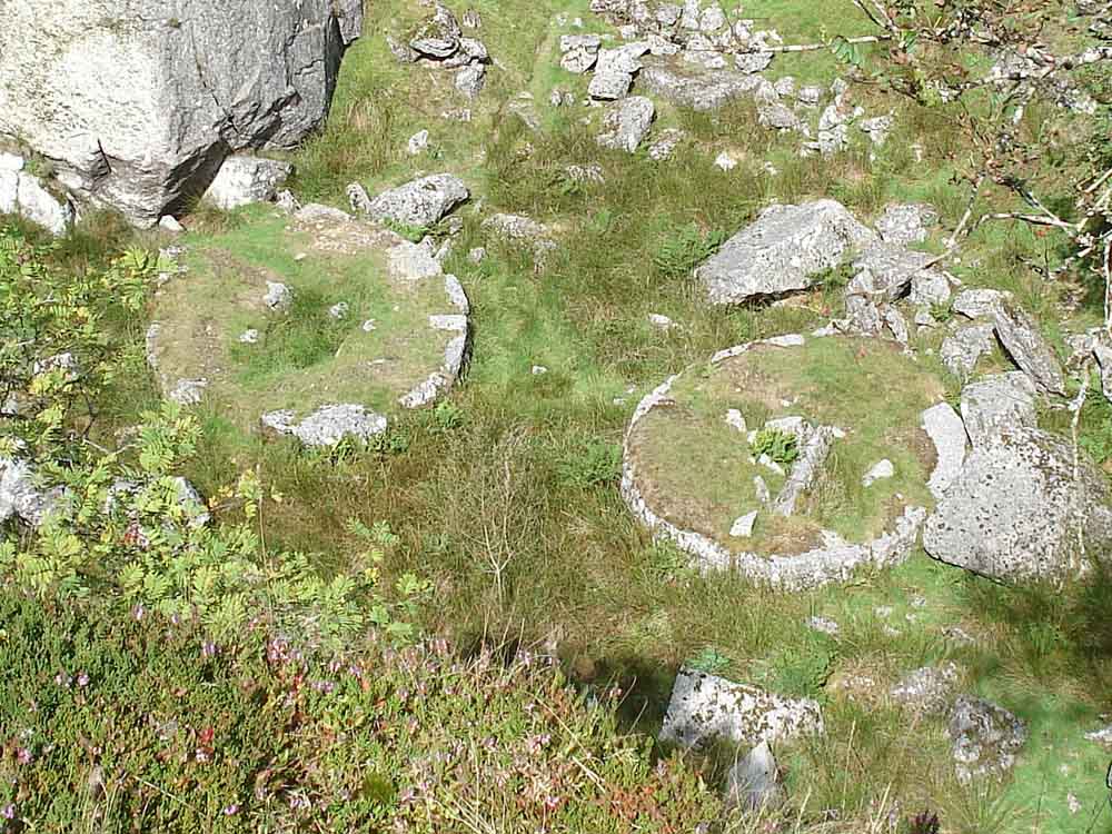
Looking down from the top of the quarry on the old crane bases.

Among the rocks of Ingra Tor.
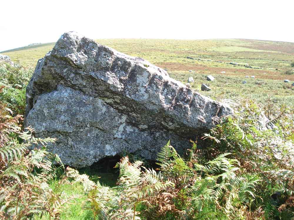
A rock showing feather and tare marks (see 7 Apr. 2010 for explanation of how this method was used to cut granite).
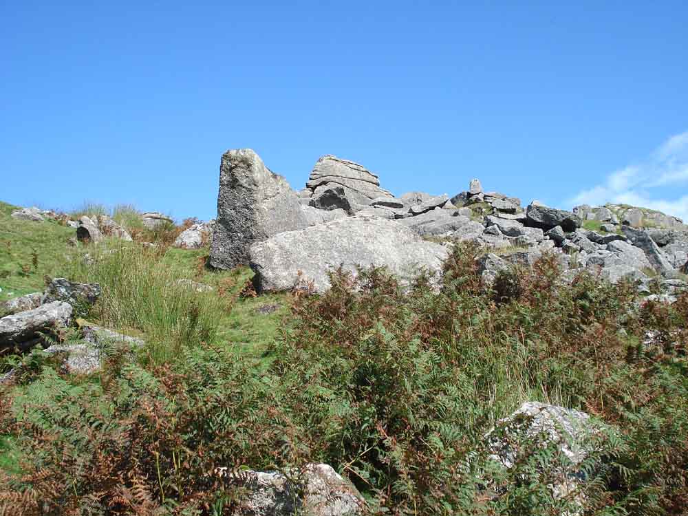
Another rock, against a blue sky.

Two toadstools, dung bonnets?

Feather and tare marks again.
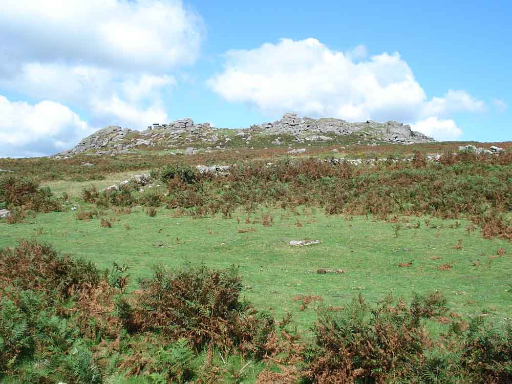
Looking back at Ingra Tor.
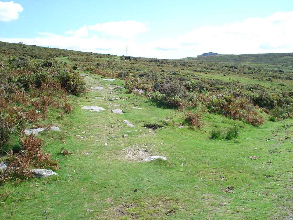
The bridle path coming down to the railway at SX 5558 7151, with Sharpitor on the right.

A bend in the track.

Back at the two trees, briefly in cloud shadow.


Granite setts scattered beside the railway.

Pineapple weed, Matricaria discoidea.

An old iron rail still gives service.
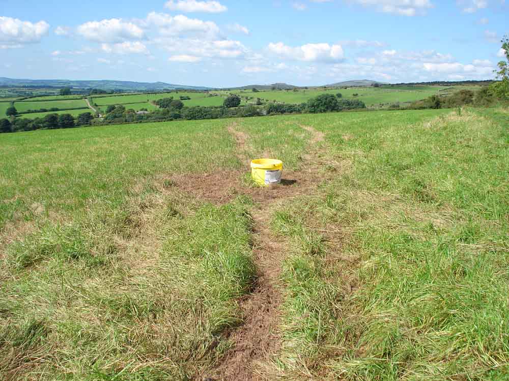
What's that, then?

Its a mixture of molasses and minerals - a "lick" for livestock.
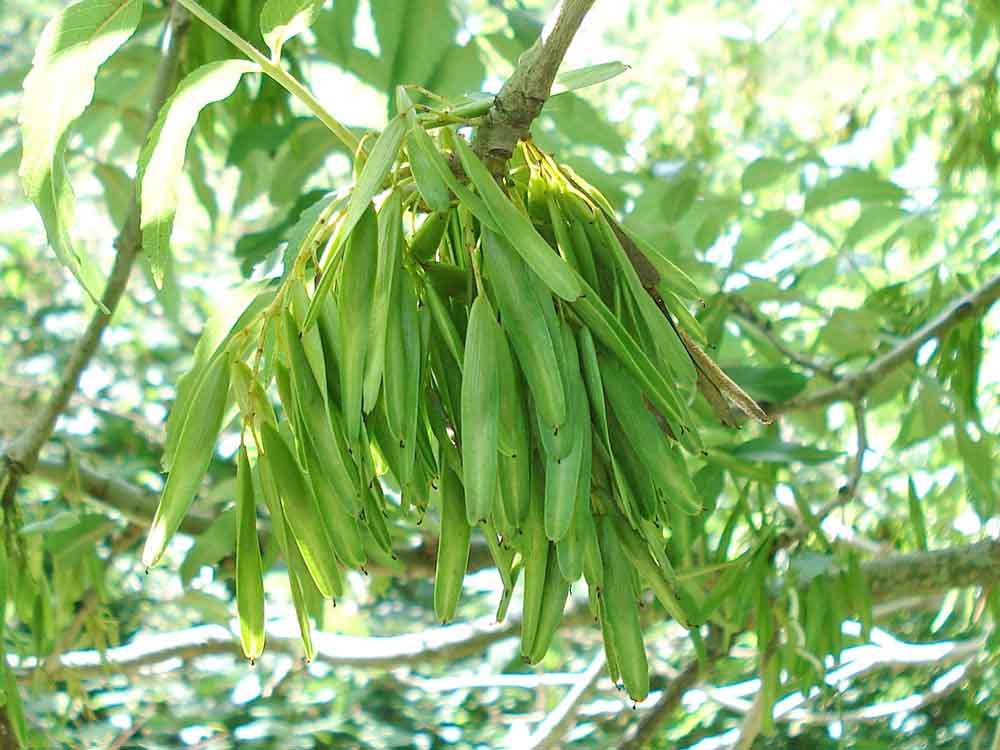
Ash (Fraxinus excelsior) keys forming for autumn seed dispersal.

Looking towards the starting area, paired gates on this side of the road and steps and a stile on the other side. This is where there was once a railway bridge - and I remember it!

Back along the old railway track into the forest, approaching Lowery Cross (although there is no longer a cross anywhere near this road junction, see here).

Looking through the trees up towards the car park.

Ponies at the car park.
MAP: Blue = planned route, Red = GPS satellite track of the walk.

Ordnance Survey © Crown copyright 2005. All rights reserved. Licence number
100047373.
Also, Copyright © 2005, Memory-Map Europe, with permission.
This walk was approached by driving out of Dousland (Yelverton) towards Princetown and taking the first turning right (opposite a Council gravel tipping layby). The car park is at the top of the hill, on the right, marked by a yellow cross on the map.
Statistics
Distance - 9.0 km / 5.6 miles
Duration 3 hr 20 min
All photographs on this web site are copyright ©2007-2016 Keith Ryan.
All rights reserved - please email for permissions