![]()


This walk: 2010-7-7. On a grey, misty day - Rowtor, gun emplacements, targets, Moor Brook, Yes Tor, dung bonnets, High Willhays, benchmark.
This area can be seen photographed with brighter photos here: 4 Feb. 2009, and on a cold day, 10 Feb 2010 (the latter for details of the target railway which some of us walked to today).
Walk details below - Information about the route etc.

Starting off from the car park towards Rowtor .....
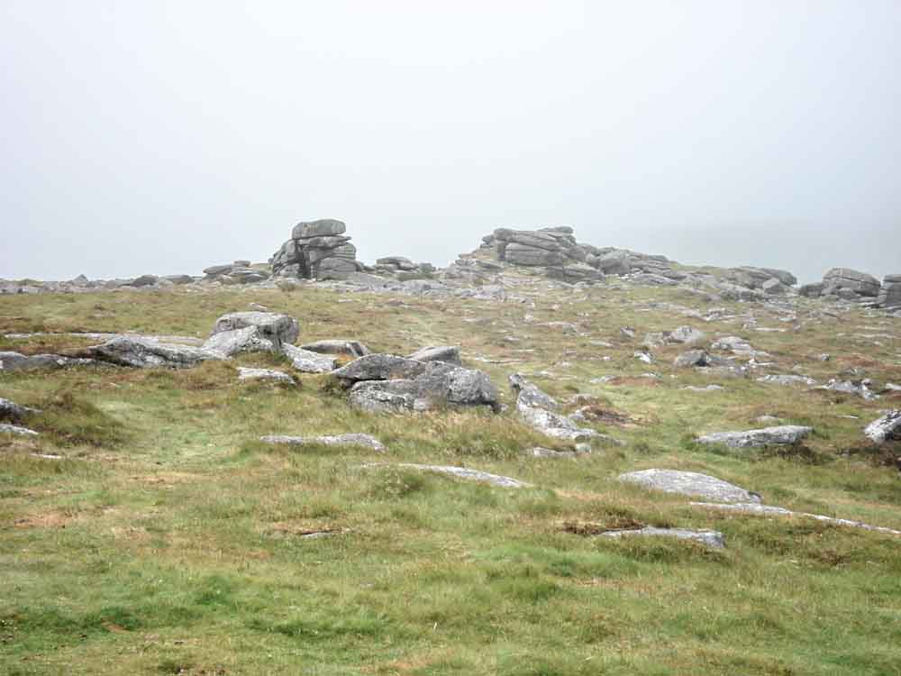
Approachng the top of Rowtor .....

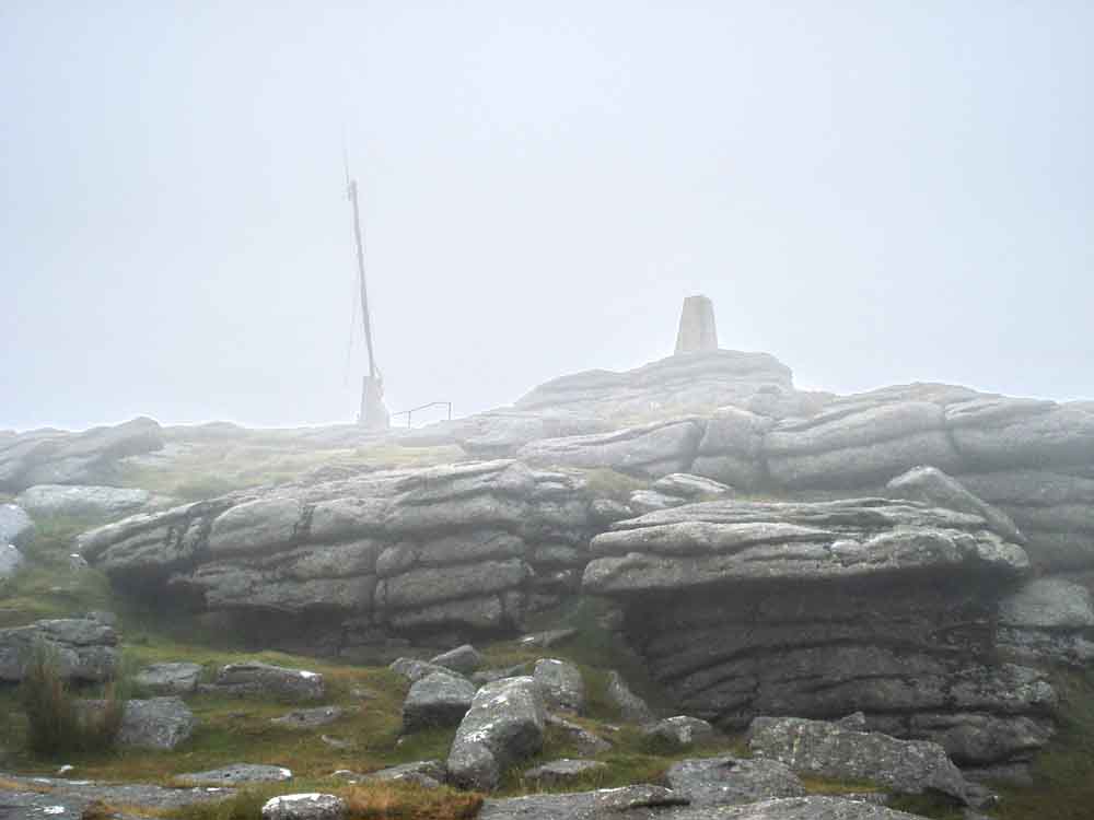
Atop Rowtor, SX 593 916, elevation 468 metres (1535 feet).
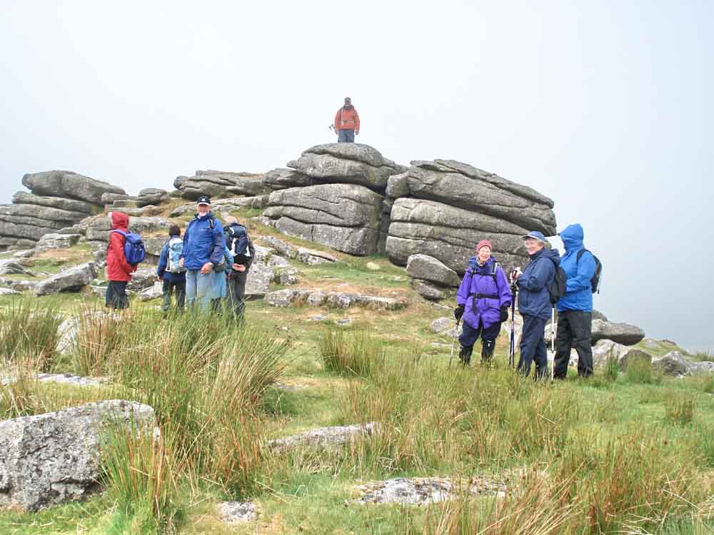
Moor Strollers gathered around Rowtor.

The field gun emplacements at SX 59310 91435, with target (centre) in the distance (this is an angled steel plate, approx 8 inches thick) and the building which housed the engine for the target railway (to the right).
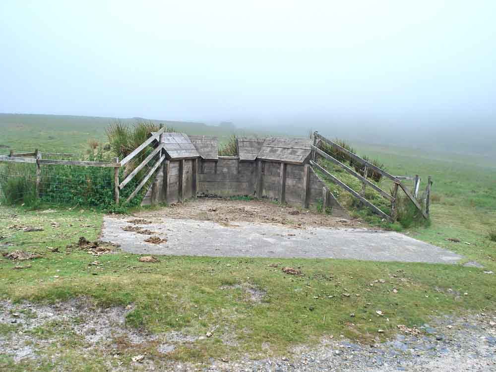
A closer view of the medium anti-tank weapons bay.
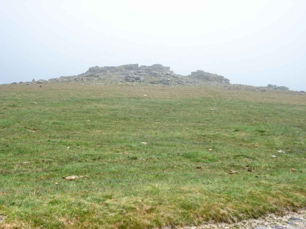
Looking back at Rowtor.

This, Ladies and Gentlemen, is Moor Brook.

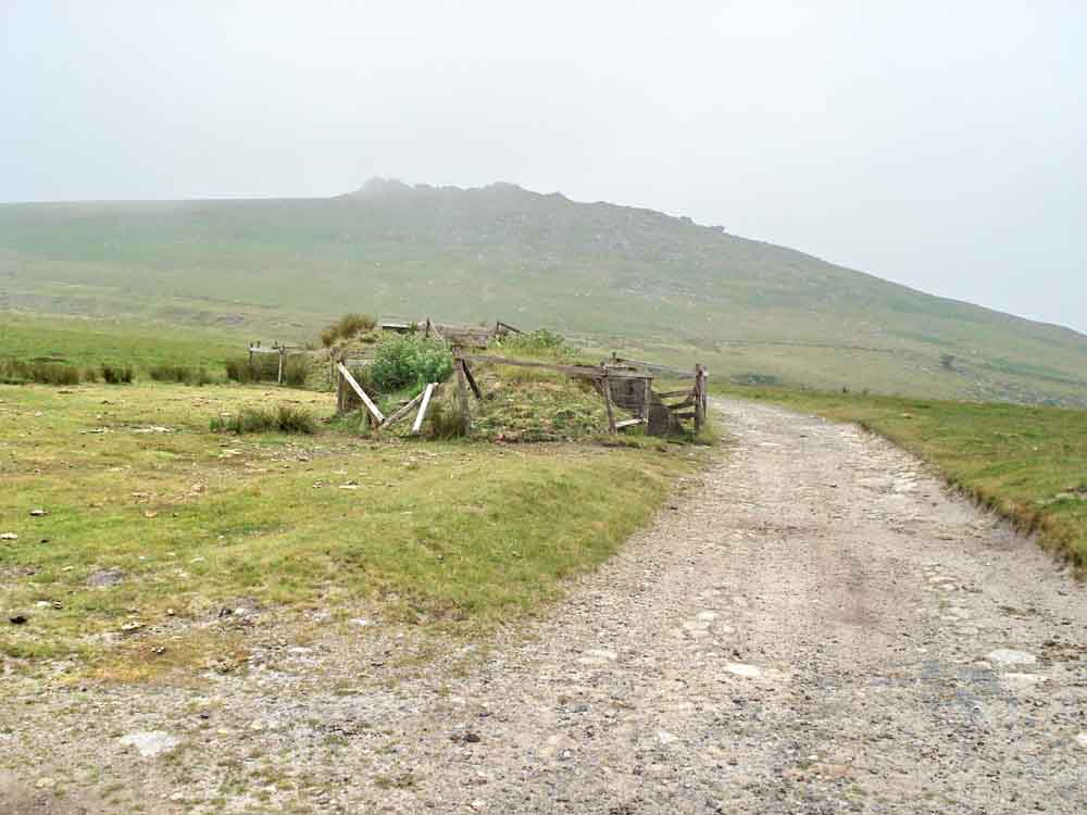
The track junction below West Mill Tor, on the way to Red'a'ven Brook

Two cows, disturbed in the mist.

Climbing up to Yes Tor .....
The top of Yes Tor, SX 580 901, elevation 619 metres (2,030 feet) .....

Yes Tor, in the mist.

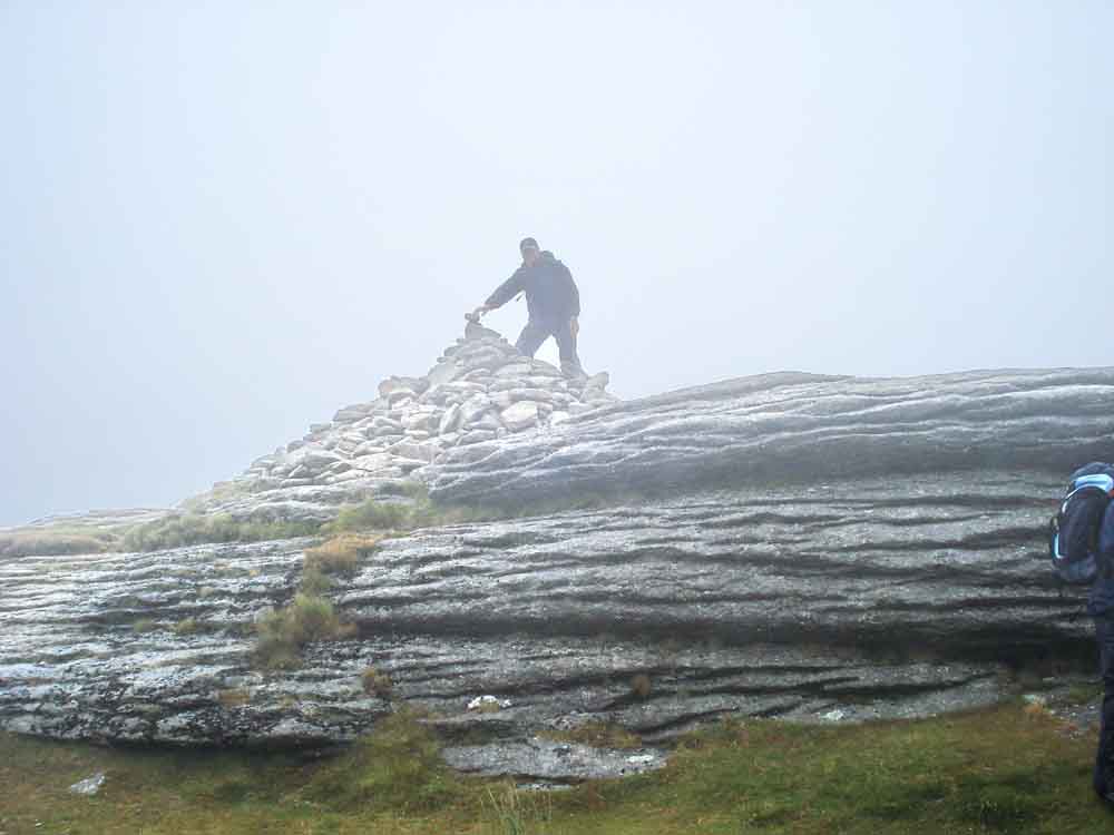
Rock stack at Yes Tor, beside the military hut.
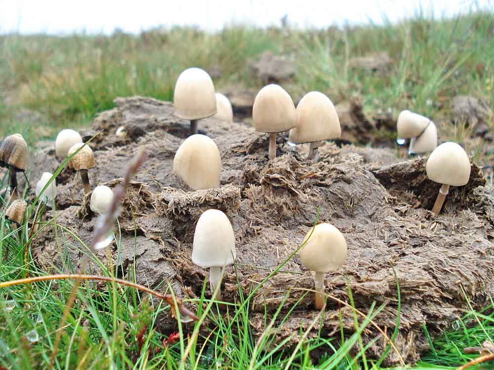
Summing up the day so far ..... coprophilous fungi: Dung bonnets - possibly Bolbitius vitellinus.
High Willhays climbed, SX 580 892, elevation 621 metres (2037 feet) .....
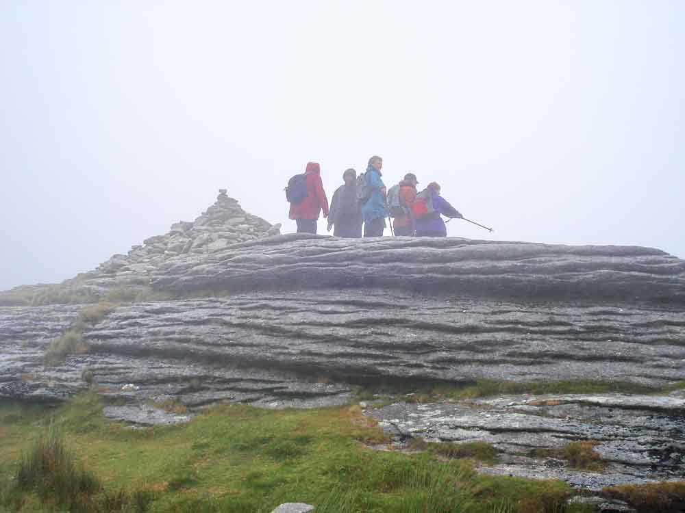
Moor Strollers at High Willhays, the highest point in southern England - and one of the mistiest for July!
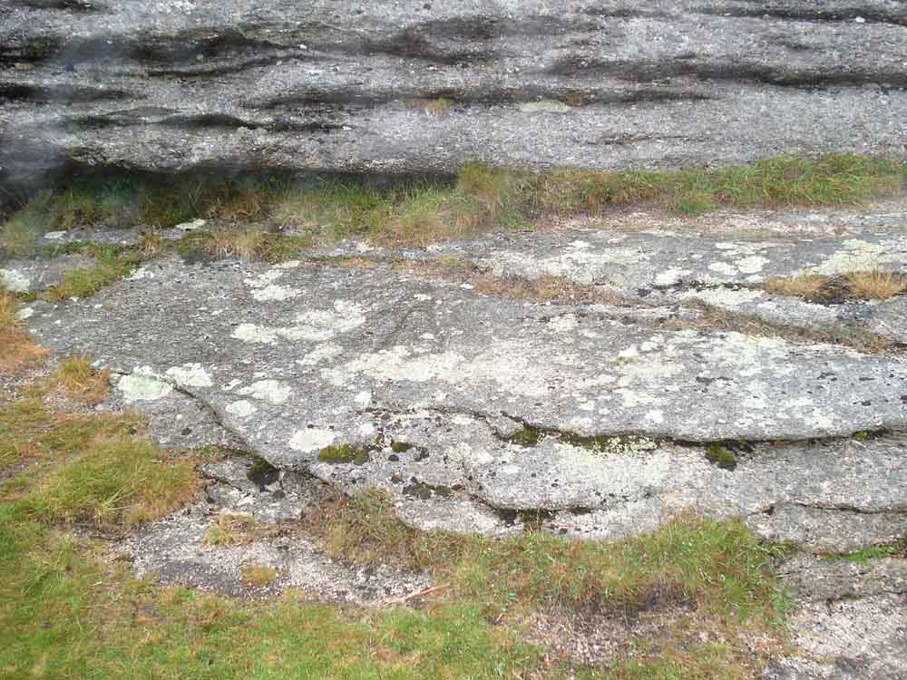
First view of a government benchmark (the broad arrow head) at the base of the tor .....
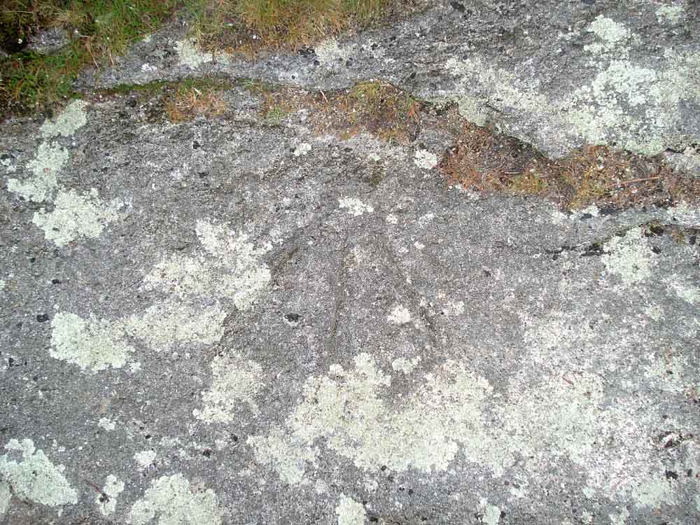
A better view of the benchmark.

The two gun emplacements seen on the return walk.
Gun emplacements with West Mill Tor behind .....

As previous photo.

The Fox & Hounds, I think!
MAP: Red = GPS satellite track of the walk.

Ordnance Survey © Crown copyright 2005. All rights reserved. Licence number
100047373.
Also, Copyright © 2005, Memory-Map Europe, with permission.
This walk was accessed by driving from Tavistock into Okehampton, turnng right at the traffic lights, following the road up the hill and over the A38 dual carriageway, passing the military camp on the right and driving up onto the moor to a large parking area on the right - marked by the yellow cross.
Statistics
Distance - 9.3 km / 5.8 miles
Start 10.00 am, Finish 1.20 pm, Duration 3 hr 20 min.
All photographs on this web site are copyright ©2007-2016 Keith Ryan.
All rights reserved - please email for permissions