![]()


This walk: 2010-5-26. Venford Reservoir, commemorative plaques on the dam, RD H / PUDC stones, Pipe Walk, hawthorn blossom, Grey Willow, Sharp Tor, charcoal loading bay/small quarry, charcoal burning area, water pipe, "Deb'n vylit" (possibly wood dog violet), bluebells, Dr Blackall's Drive, Bell Tor, Lady's Bedstraw, slotted gatepost, flower-1, bird pellet. flower-2, Bench Tor, Dartmoor ponies, Yar Tor, Corndon Tor, Venford Reservoir, Medieval square fields, Bronze Age strip fields, round house, reeve.
Walk details below - Information about the route etc.
Other walks from the same car park: 19 Oct 2007, 11 Feb 2008, 9 Dec 2009.

Canoe moorings, we were told!
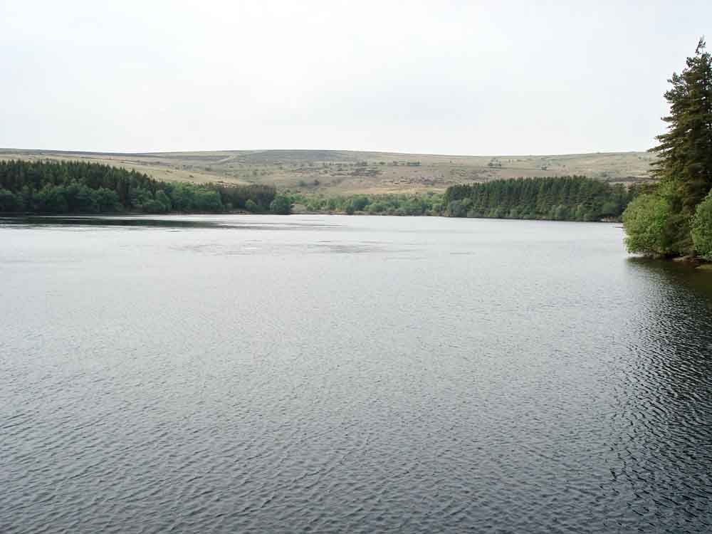
Looking from the dam to the far end of Venford Reservoir .....

Disturbances in the water, caused by the rarely-seen Venford Lake monster ................................ or aeration of the water.

First plaque seen on the dam, beside the road approx. halfway across the dam .....

Probable original wrought iron gate and pipework from 1907.

Second commemorative plaque.

One of these: Boundary stone near 40 mph signs on the road near Venford Reservoir, near SX 68490 71210. From: Discover Devon web site, on the Naturally Devon walks pages, here:
Quote: "Further along the way you�ll see Venford Reservoir, built as long ago as 1907 to provide water for Paignton. The boundary stones that you pass on Holne Moor mark the catchment area for the reservoir, and are inscribed PUDC (Paignton Urban District Council) on one side and RD/H on the other, after Richard Dawson, lord of the manor of Holne, from whom the water works purchased the land."

"The Pipe Walk", named after the large water pipe that is buried under here to take water from the reservoir to Paignton. It was along here that a nightingale was heard singing ................. !
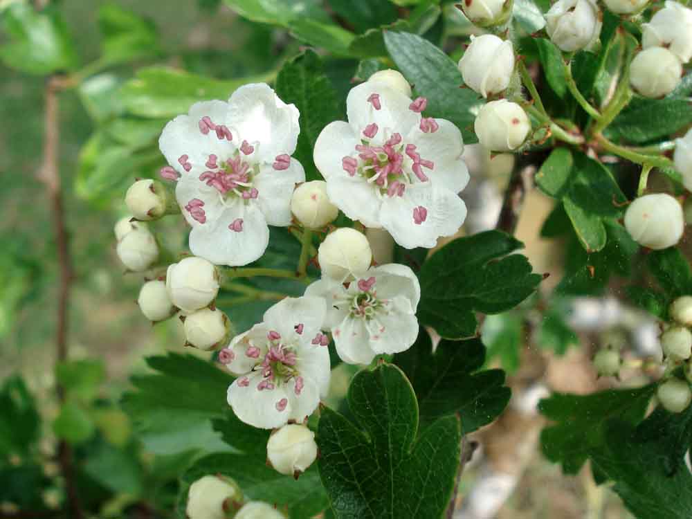
Common Hawthorn (Cretaegus monogyna), just coming into flower.

Willows beside the Venford Brook below the Venford Dam. Possibly Grey Willow (Salix cinerea), looking at the young leaves and the fact that the catkins are borne at the same time i.e. not before the leaves appear.

Further along the track.
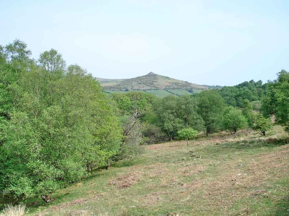
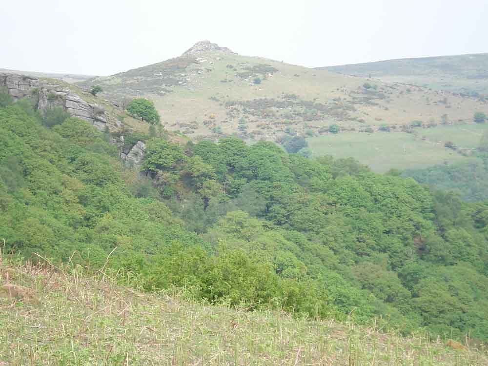
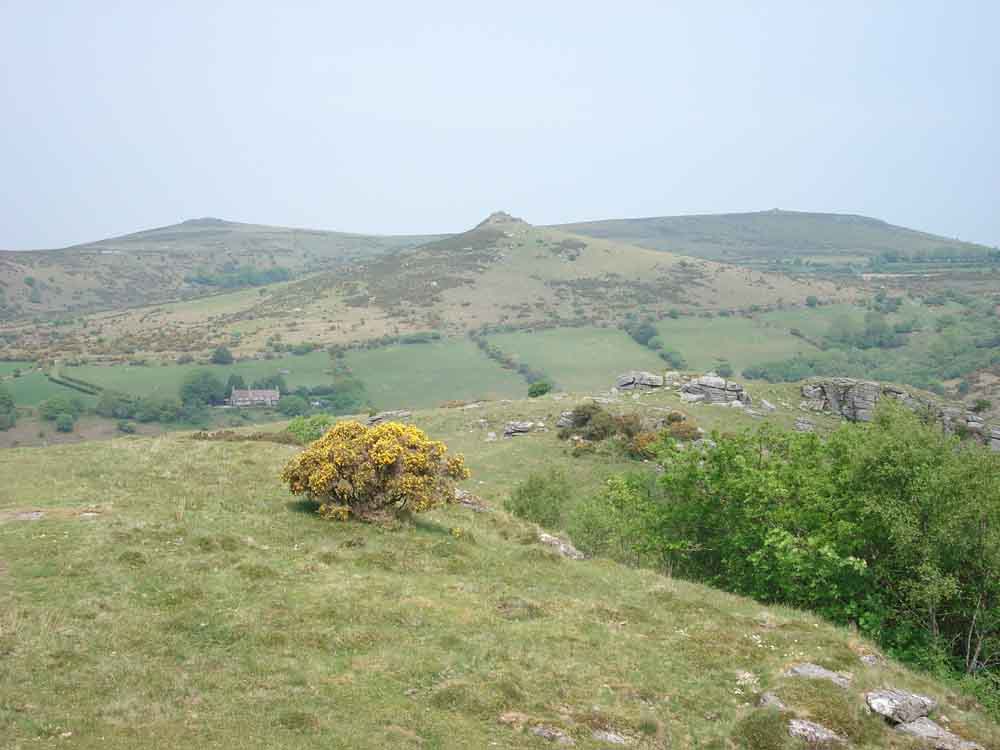
A view to Sharp Tor, SX 686 729, elevation 380 metres (1246 feet).

An ancient tree trunk.

A possible loading bay left by the charcoal workers who used to work the wood many years ago. Alternatively, a small quarry, of which there are many along the track, from where granite was taken to edge the track when it was built.

Mule track down to a charcoal burning "flat" on the steep side of the valley down to the River Dart.
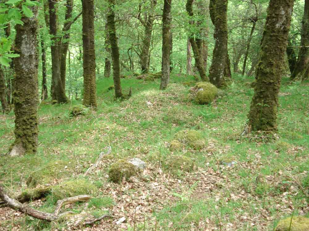
Another charcoal burning area,
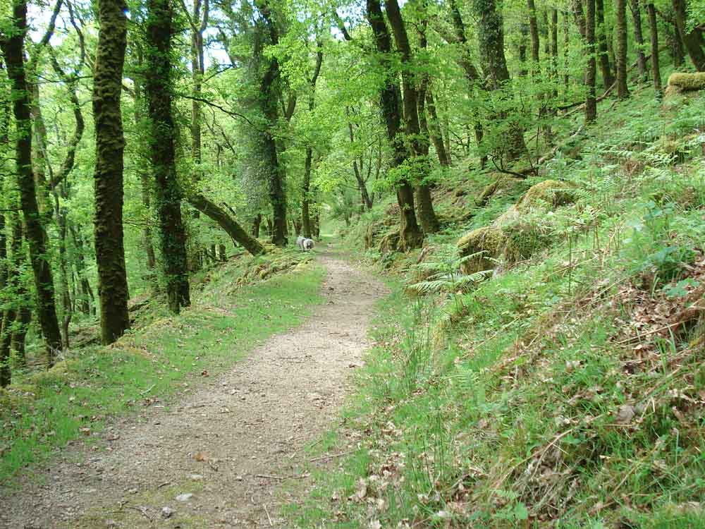
Another view along the track.
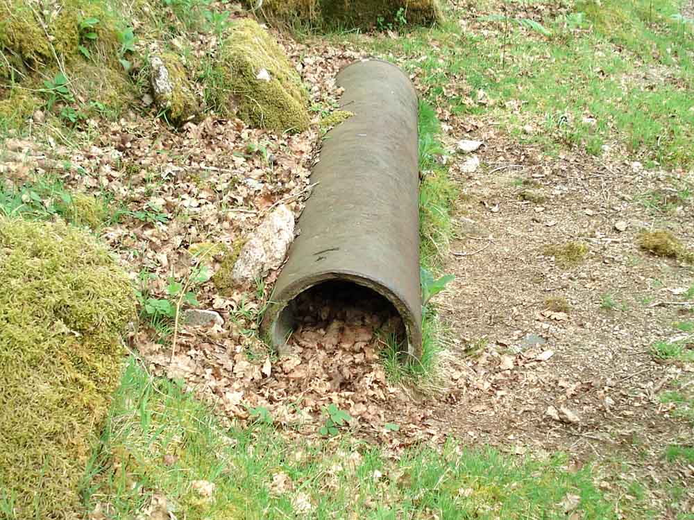
A section of the water pipe beside the track.
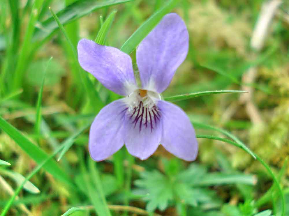
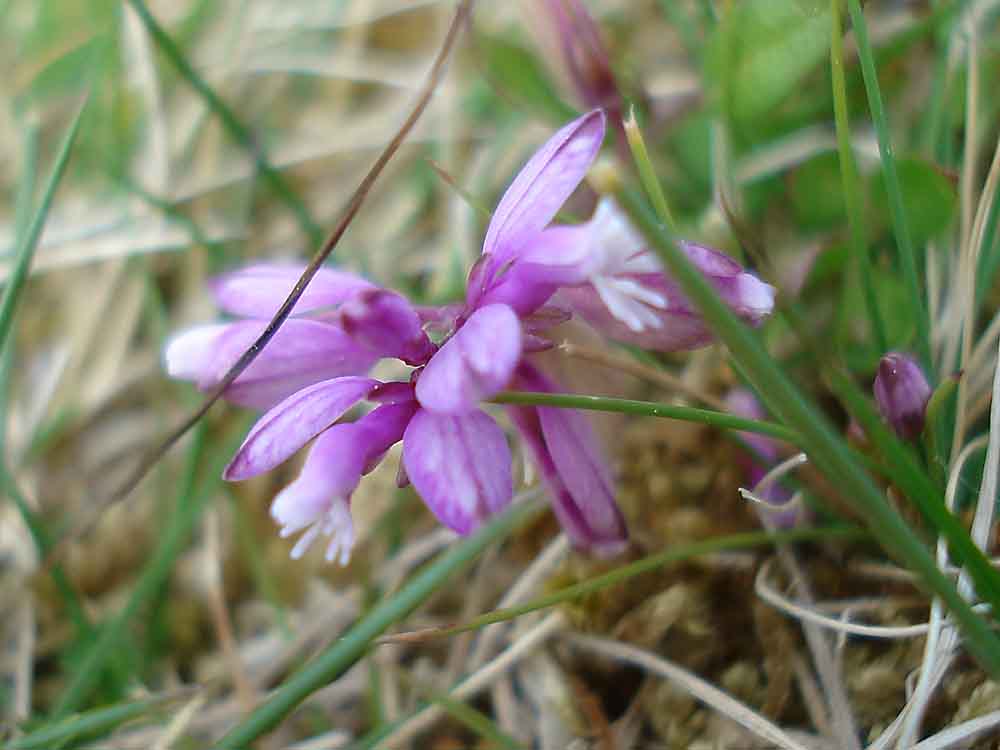
A violet ..... possibly Wood Dog Violet, the petals appear to be narrower than other violets we have seen. (other violets:
Common Dog Violet, Dame's Violet, Early Dog Violet, Fen Violet, Hairy Violet, Heath Dog Violet, Marsh Violet, Pale Dog Violet, Sweet Violet, Teesdale Violet, Water Violet)
.....
Ditto - sideview. Another track down into the valley.
A glimpse of bluebells in a
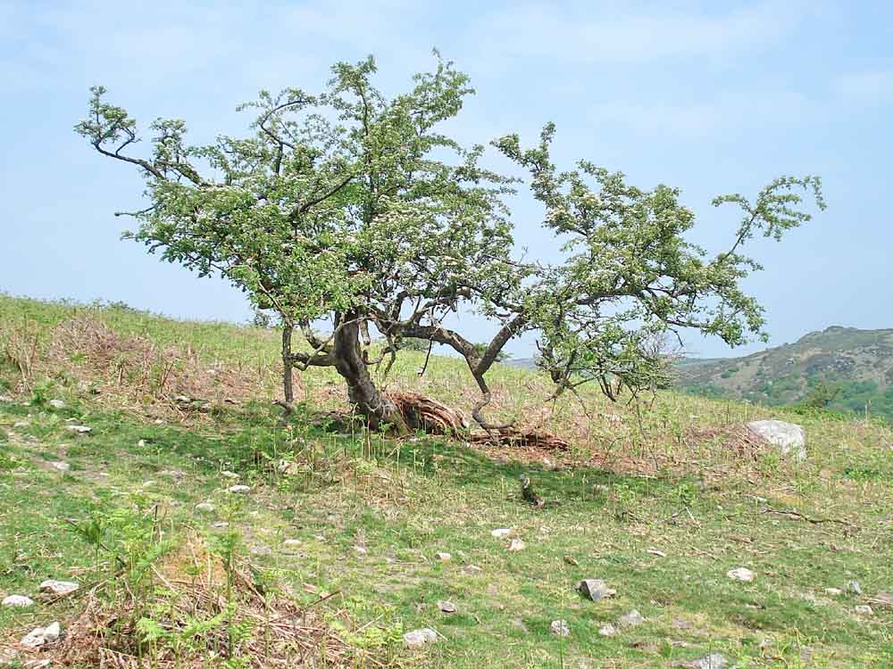
fenced-off area at the end of the woods. An isolated tree. Looking across to Dr Blackall's
Drive, the rocks on the skyline are part of Bell Tor, unfortunately no longer on
access land. Looking towards Teignmouth, the sea
was not visible today. Sharp Tor again. A fine slotted gatepost, turned
sideways with two iron gate hangers added, now disused. Lousewort (Pedicularis
sylvatica). Lady's Bedstraw (Galium
verum). Bench Tor. A "pellet" on Bench Tor, one of
several in the area, usually regurgitated by a bird such as an owl although these
appear to consist of semi-digested seeds: they can be
produced by many
birds. This is not the right time of the
year for natural seeds to be available. Possibly apple pips, eaten by a quite
large scavenging omnivore that frequents tor tops, perhaps crows / ravens?
Another suggestion is that these are ivy berries. Flower-2 Moor Stollers approaching the high
point on Bench Tor. Dartmoor ponies. Sharp Tor (centre), with Yar Tor
(left, SX 678 840) and Corndon Tor (right, SX 687 741). Looking into the Dart Valley from
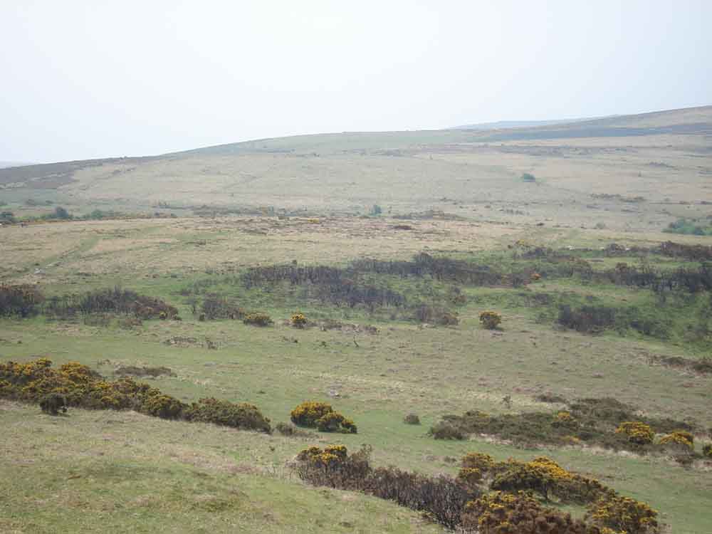
Bench Tor. Venford Reservoir. Square Medieval fields in the
distance (see the Google Earth image below) ..... Bronze Age strip fields on the hill
opposite (see the Google Earth image below) .....
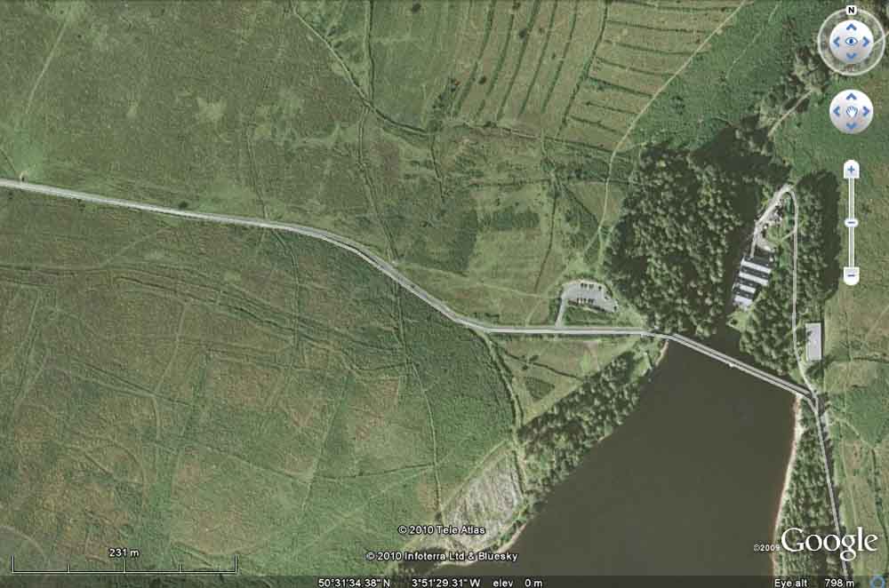
Google Earth image showing the Bronze
Age strip fields from the air with the Medieval square fields at the lower left
.....
As previous image but in more detail. Bronze Age round house (hut circle)
on the hill opposite, with a linear feature. Tom "round the bend", on the corner of
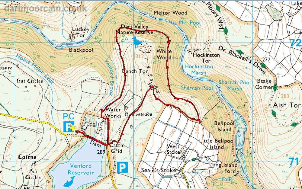
a Bronze Age reeve. MAP:
Red
= GPS satellite track of the walk.
This walk can be approached either from Two
Bridges or Holne/Ashburton/Buckfastleigh. There is a large car park by the
dam, marked by the
P
symbol on the map with the yellow
cross. Statistics


Ordnance Survey © Crown copyright 2005. All rights reserved. Licence number
100047373.
Also, Copyright © 2005, Memory-Map Europe, with permission.
Distance - 4.58 km / 2.85 miles
All rights reserved - please
email for permissions