


This walk: 2010-4-8. Grimstone & Sortridge Leat, bullseye stones, Pew Tor, Brentor, Windy Post, also known as Windy Post Cross, Windystone and Beckamoor Cross, Vixen Tor, Great Mis Tor, Roos Tor, "hot-cross bun" Pew Tor marker stones from 1847, 5-holed marker stone from 1896.
See 2010-4-7, the same walk the the previous day, for more photos.
Walk details below - Information about the route etc.

Bullseye stone no. 1 at SX 52622 73105 � 4 metres.
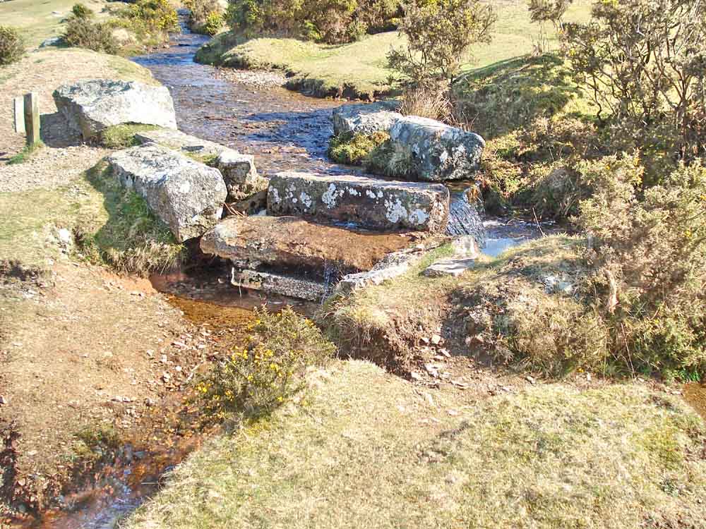
Bullseye stone no. 2 at SX 52690 73238 � 4 metres.
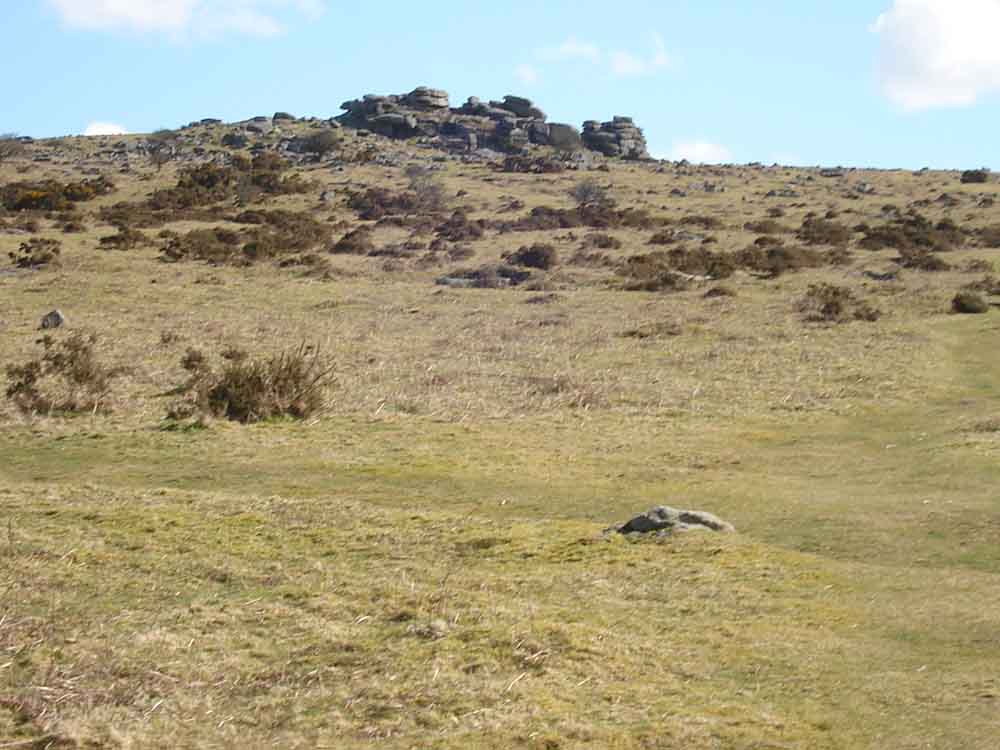
Pew Tor.

Brentor.

Bullseye stone no. 3 at SX 52893 73654 � 4 metres.

Bullseye stone no. 4 at SX 53324 74276 � 4 metres.

As previous photo, bullseye stone no. 4 at SX 53324 74276 � 4 metres.

As previous photo, bullseye stone no. 4 at SX 53324 74276 � 4 metres.

As previous photo, bullseye stone no. 4 at SX 53324 74276 � 4 metres.

Windy Post, with another bullseye stone behind (no. 5).

Bullseye stone no. 5 at SX 53451 74302 � 4 metres.
| Dartmoor CAM movie A part-panorama at Windy Post Cross with a bullseye stone leat take-off point in the background, panning around to finish looking at the North Hessary Tor TV transmitter mast.
|
Click the photo to download File size: 2 MB. Time to download: e.g. 10 secs Length 13 secs |

Great Mis Tor with the diminutive Little Mis Tor to the right.

Middle Staple Tor, with Little Staple Tor below and left.

A piece of granite with feather and tare marks on the top edge facing the camera and wedge and groove marks on the right top edge.

Vixen Tor with North Hessary Tor (TV transmitter) behind, with the fields of Yellowmead Farm clearly visible. The farmhouse is at the far side of the second field (farthest away) in from the left.

A view over Tavistock.

Looking back at Feather Tor.

A clapper bridge over the take-off leat to Pewtor Cottage and beyond.
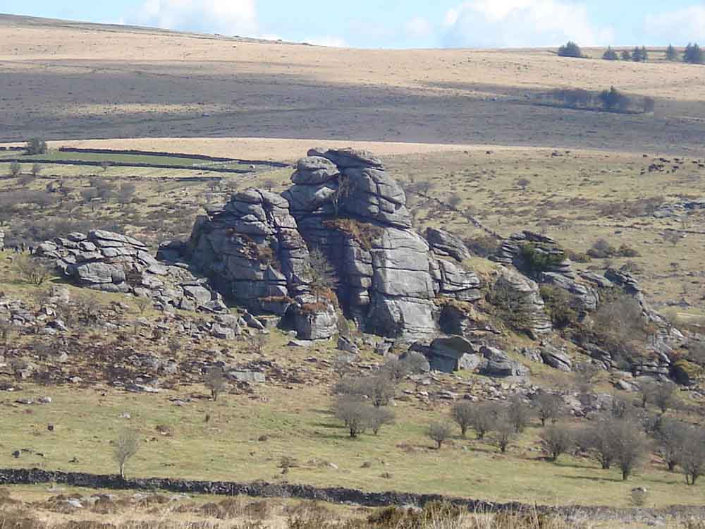
Vixen Tor.

Looking across the dew pond up to Pew Tor.
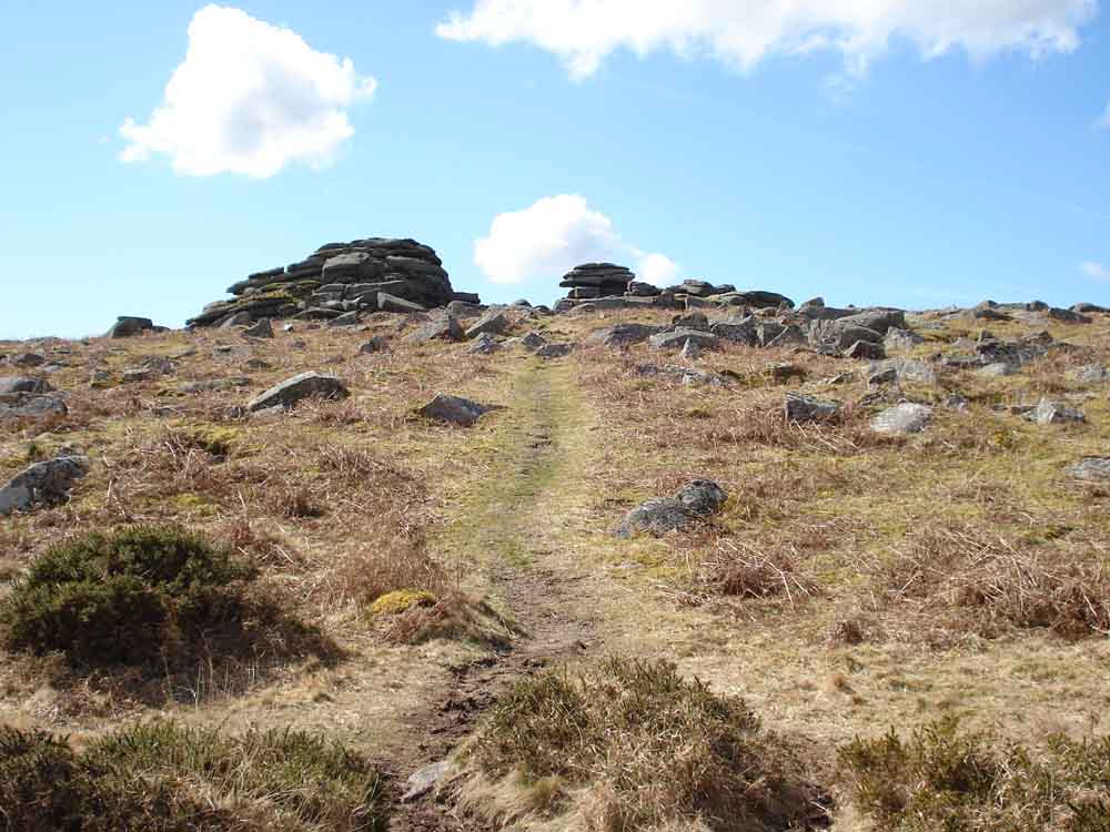
Approaching Pew Tor from the north.

Pew Tor scene .....

Pew Tor scene .....

Pew Tor scene .....
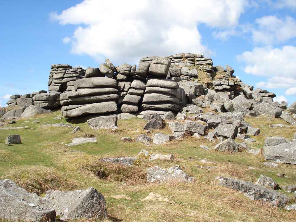
Pew Tor scene .....

One of the nine 10-inch circular "hot cross bun" markers delimiting the 1847 quarrying limits around the tor .....

A closer view.
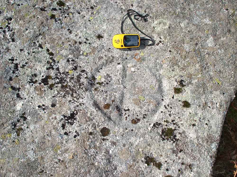
Ditto.
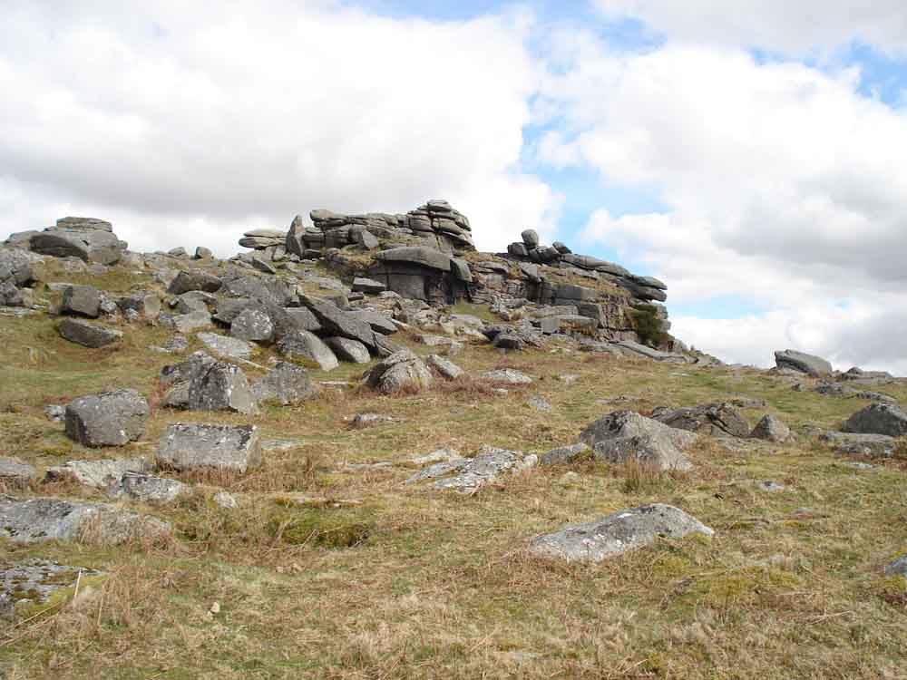
A general view of Pew Tor.
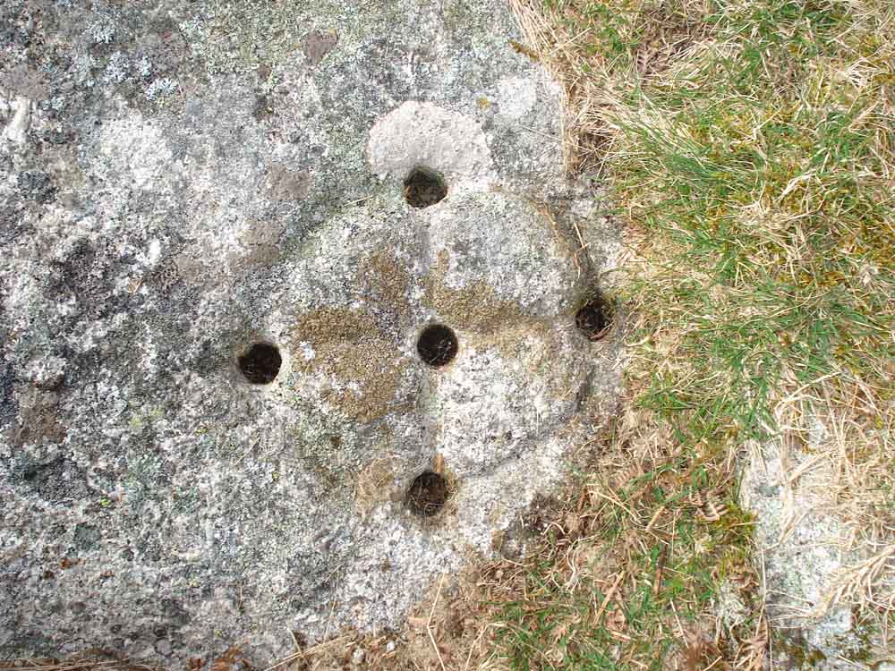
Something special - one of four 6-inch, 5-holed circular markers further out from the tor dating from 1896. This one is at the south-east corner of the then-new limits for taking moor stone, at SX 53347 73445 � 4 metres .....

Ditto

Showing the marker in relation to the tor.
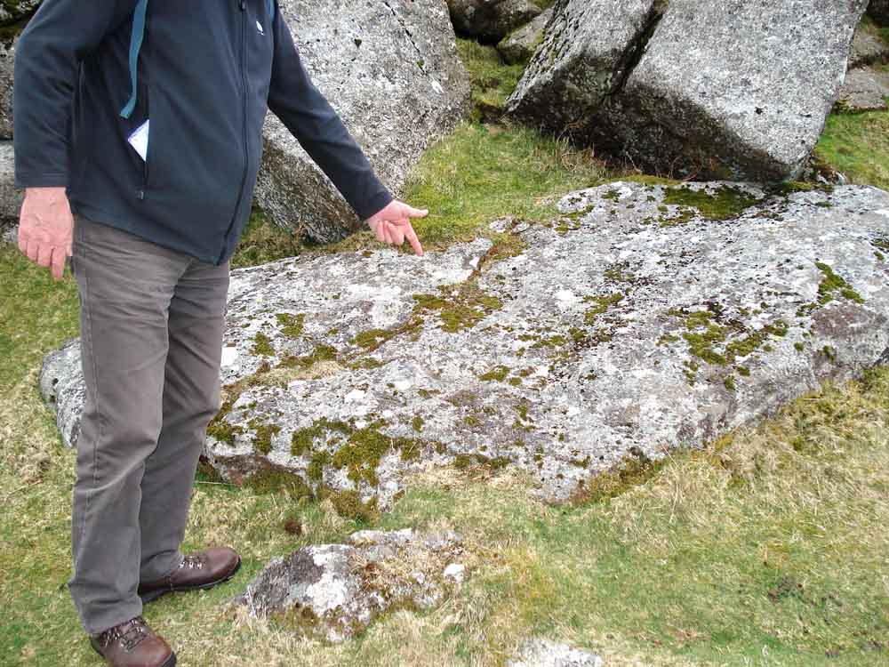
Another 1847 marker, hard to see .....

The marker is in the centre of the photo, marked by the yellow GPS unit on the second flat rock from the bottom.
Two maps .....

Ordnance Survey © Crown copyright 2005. All rights reserved. Licence number
100047373.
Also, Copyright © 2005, Memory-Map Europe, with permission.

Ordnance Survey © Crown copyright 2005. All rights reserved. Licence number
100047373.
Also, Copyright © 2005, Memory-Map Europe, with permission.
See the previous day's web page for access and parking details.
Statistics
Distance - 8.19 km / 5.1 miles
Duration 5 hr 16 min
Moving average 2.17 kph / 1.3 mph; Overall average 1.6 kph / 0.99 mph
All photographs on this web site are copyright ©2007-2016 Keith Ryan.
All rights reserved - please email for permissions