![]()


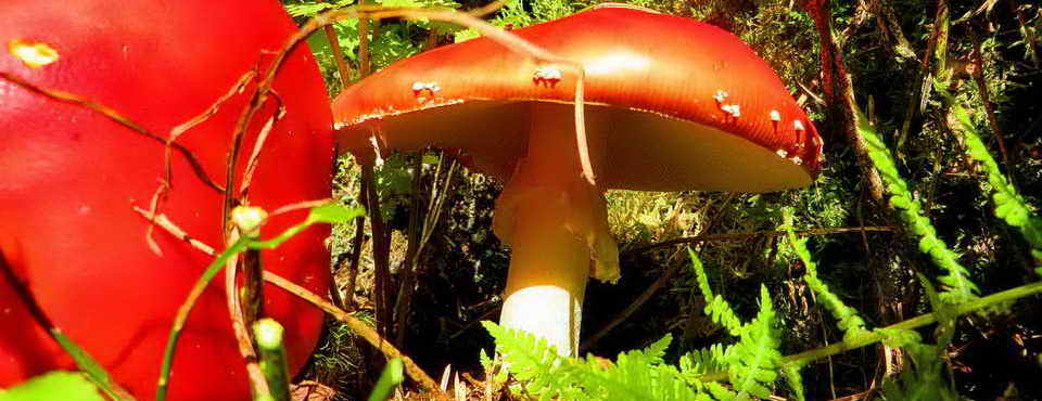
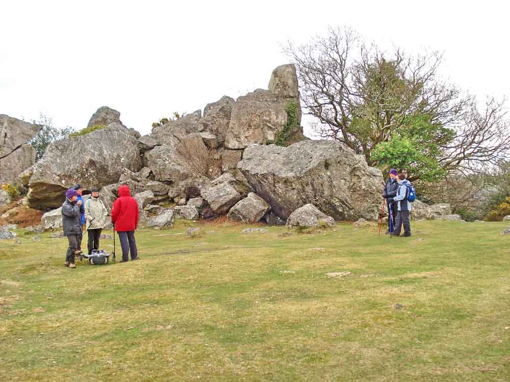
This walk: 2010-4-14. Bel Tor Corner, Bel Tor, Venford Reservoir, Sharp Tor, Mel Tor, slotted gate posts (two types), Dr Blackall's Drive, Double Dart River, common gorse, Blackthorn blossom (Sloe - Prunus spinosa), with lichen, Leigh Tor, elder tree, oak tree, wild sweet violet, Dartmoor ponies.
Click to see 1st page from this walk
Walk details below - Information about the route etc.

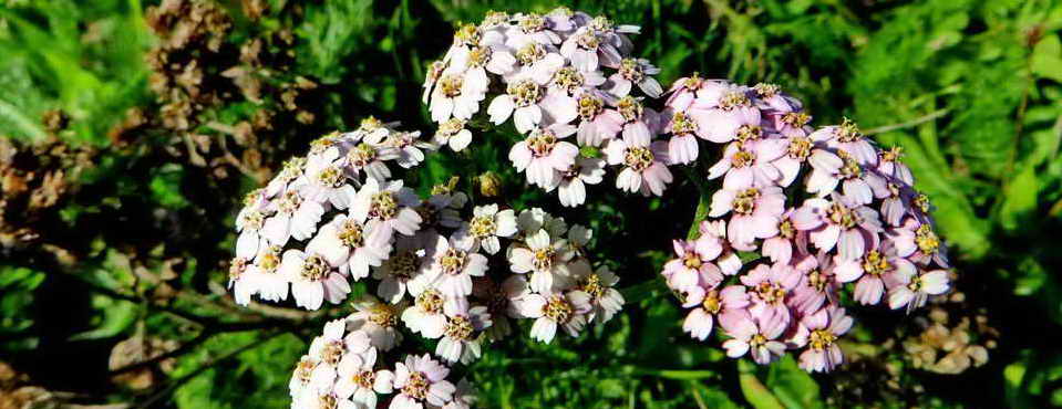
Blackthorn blossom (Sloe - Prunus spinosa), with lichen.
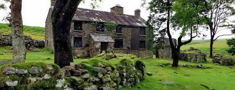
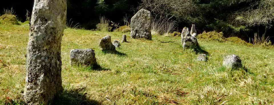
Leigh Tor, at SX 7014 7144, elevation approx. 180 m (590 ft).
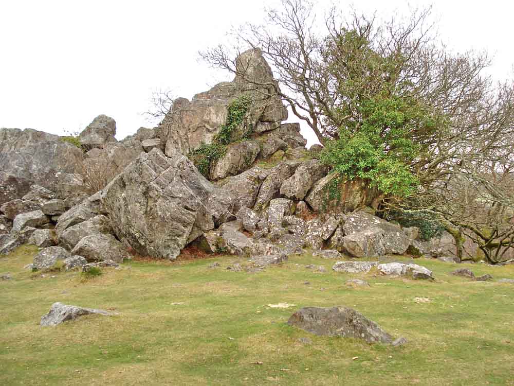
Leigh Tor .....
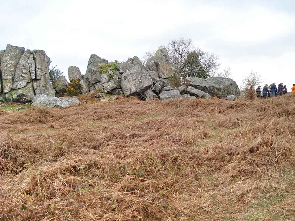
Leigh Tor .....
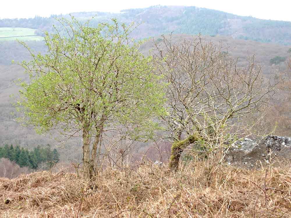
Near Leigh Tor, an elder (Sambucus nigra) tree coming into leaf while the neighbouring oak is not.
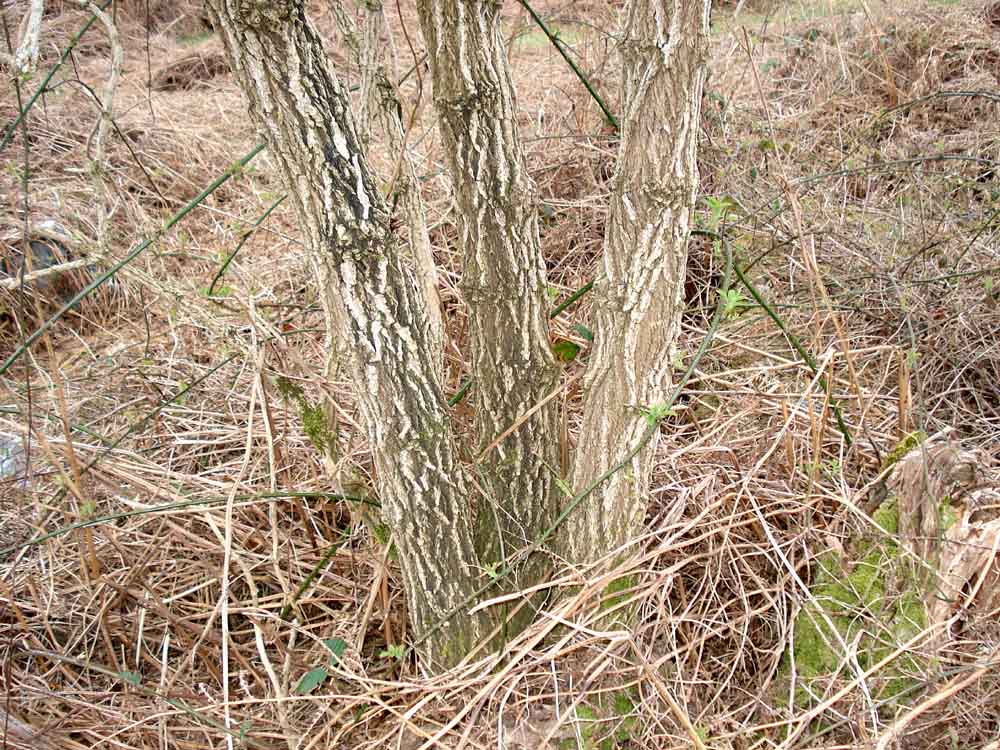
Elder trunk(s), bark.
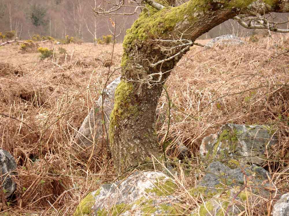
Oak, believed sessile oak (Quercus petraea), judging by the form of the fallen leaves, unlike the gnarled Pedunculate Oak trees found in Wistman's Wood, Piles Copse and Black-a-tor Copse (the three remaining ancient oak woods on Dartmoor) .....
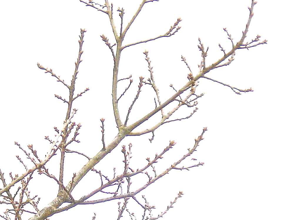
Oak twigs.
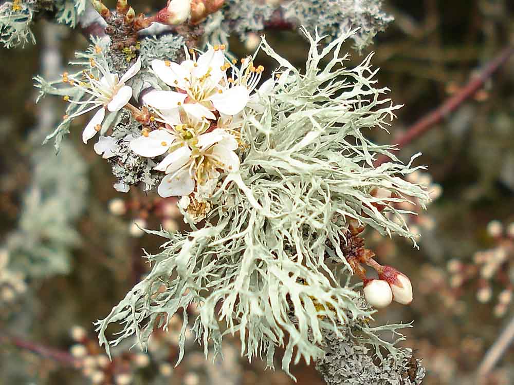
Blackthorn flowers and lichen - indicating the purity of the air on Dartmoor.
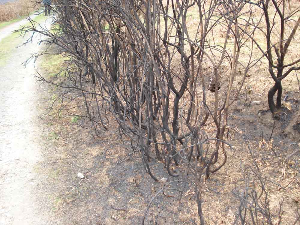
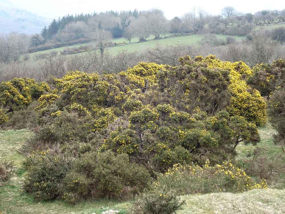
Recently burnt/(swaled?) gorse.
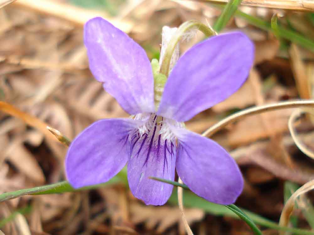
Wild Sweet Violet (Viola odorata).
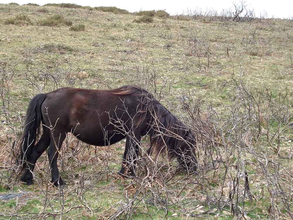
Dartmoor pony grazing among burnt/swaled gorse, showing how useful it is for the spreading gorse and scrub to be burned (at the right time of year e.g. when birds are not nesting on the ground).
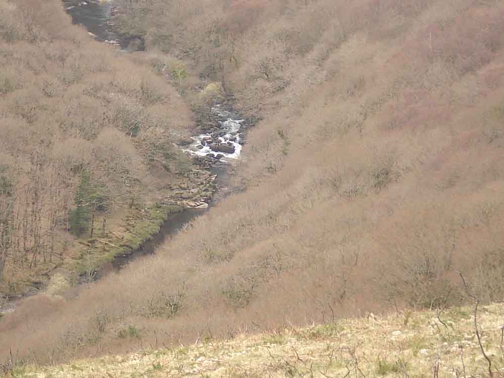
Another view of the Double Dart.

Walking back along Dr Blackall's drive, with Sharp Tor in view.
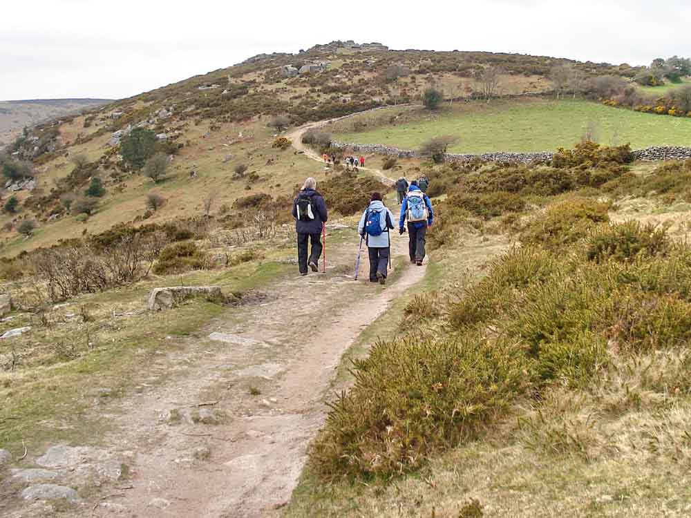
Ditto.
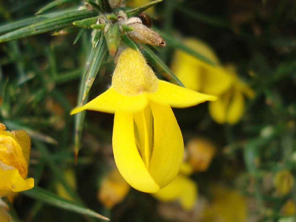
Common gorse flower .....
..... gorse bush in flower.
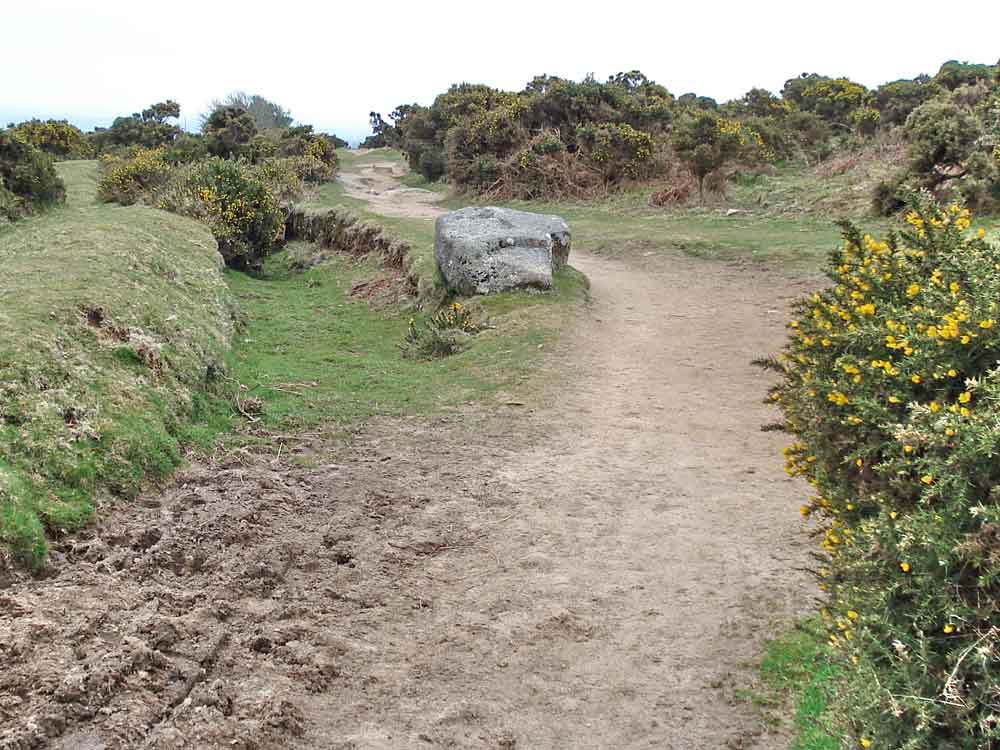
An apparent branch off Dr Blackall's Drive near the car park, it looks as if it might have once been a leat?
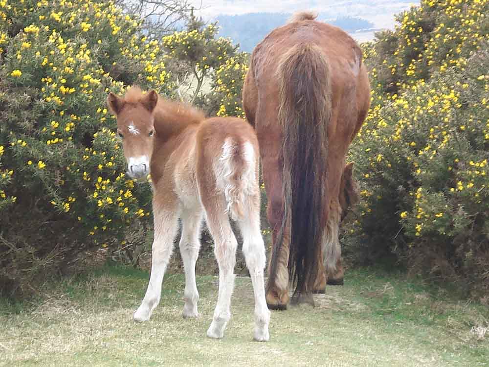
"What are you photographing?" .....
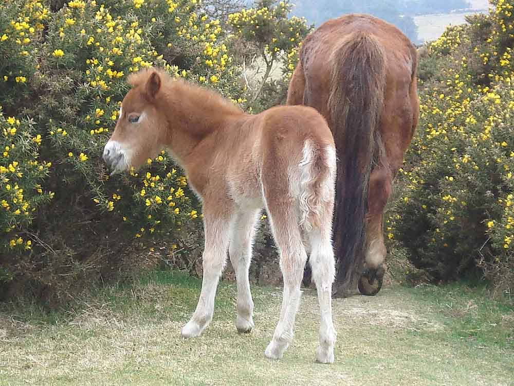
"I think mum has the right idea".
MAP: Red = GPS satellite track of the walk.
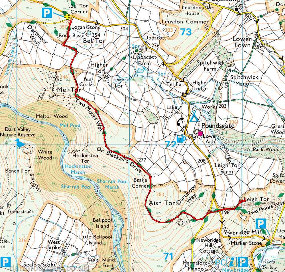
Ordnance Survey © Crown copyright 2005. All rights reserved. Licence number
100047373.
Also, Copyright © 2005, Memory-Map Europe, with permission.
The walk was accessed easily via the Two Bridges-Ashburton road, with parking at the Bel Tor Corner car park, the P symbol on the map with the yellow cross.
Statistics
Distance - 6.7 km / 4.2 miles
Click to see 1st page from this walk
All photographs on this web site are copyright ©2007-2016 Keith Ryan.