


This walk: 2010-3-3. Pixies Matchsticks, Sheep's Tor, Down Tor, Newleycombe Cross, Burrator Reservoir, Hingston Hill stone row, Devonport Leat, Driveage Bottom, clapper bridges, water works hut, weirs, sluice gate, Devonport Leat Cross (also known as Hutchinson's Cross), Devonport Leat tunnel, the old smithy, Nun's Cross (aka Siward's Cross).
Several features seen on this walk were also seen on 27 Dec 2008 on a beautiful blue sky day!
Walk details below - Information about the route etc.
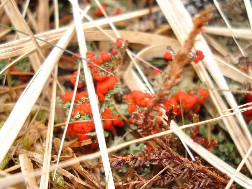
Pixie's Matchsticks ..... the red structures are the fruiting bodies of a lichen, which is an association of an alga and a fungus - possibly British Soldier Lichen or Cladonia cristatella.

Sheeps Tor in the distance, with Down Tor in front and to the right.

Newlycombe Cross (restored, broken into three pieces) at SX 591 703, with Down Tor behind.

Newleycombe Cross (or Medieval Cross) with Sheep's Tor and Down Tor behind (left) and Burrator Reservoir (right).

Another view.

Newleycombe Cross with the Hingston Hill stone row and circle in the distance (right).
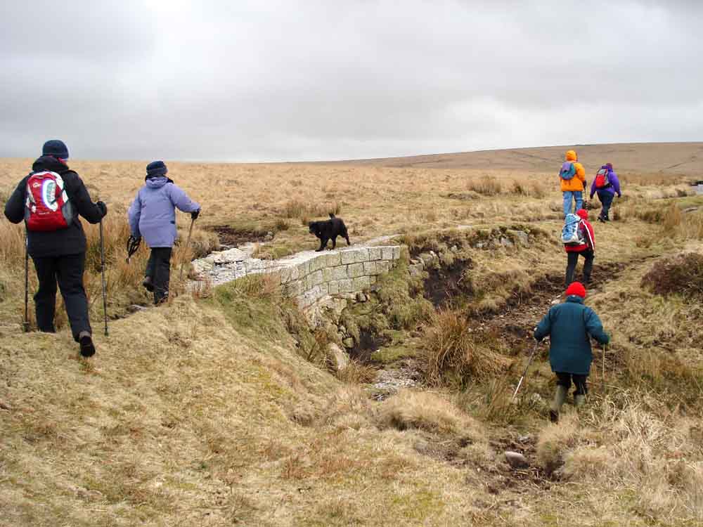
A modern piece of repair on the Devonport Leat, constructed in the 1790's to carry water to Devonport Dockyard, now flowing into Burrator Reservoir.
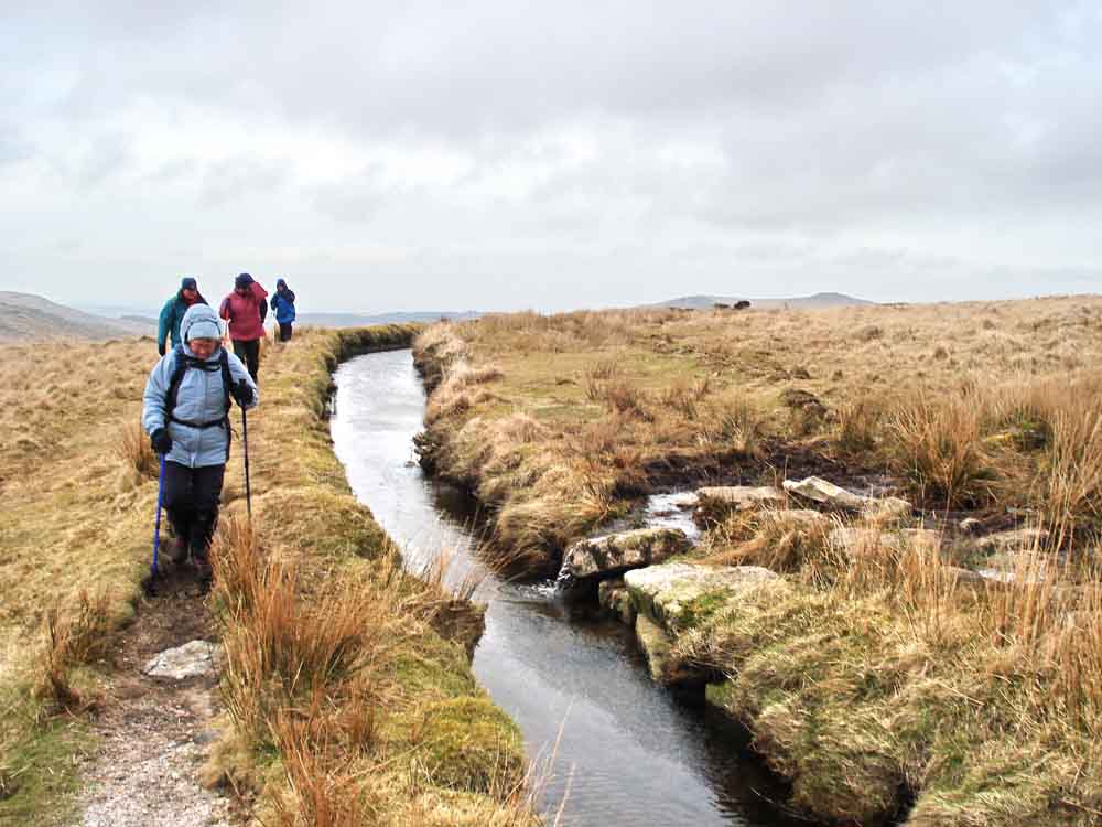
Walking by the leat .....

Looking down Driveage Bottom (as marked on the map, although this name may be misplaced as the area where the leat was driven out through a nearby hill may have been "Driveage Bottom" originally.
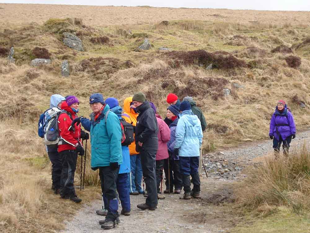
Moor Strollers huddling together for warmth - in the lee of a cutting, the east wind was more than a little chilly today!
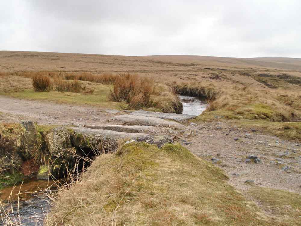
A clapper bridge over the leat, probably the left-most "FB" marked on the map below (there is another seen shortly).

Looking down the Newleycombe valley.
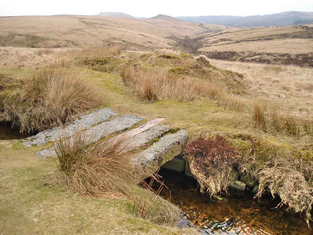
The second clapper bridge (the right-most on the map below?).

A water works hut on the leat .....

..... with a small weir .....

The view from down in the leat .....
| Dartmoor CAM movie The small weir by the SWW hut, just watching the water go by .....
|
Click the photo to download File size: 2 MB. Time to downlaod: e.g. 10 secs Length 10 secs |

A sluice gate just above the hut .....

..... which is also a foot bridge over the leat.

Devonport Leat Cross, also known as Hutchinson's Cross
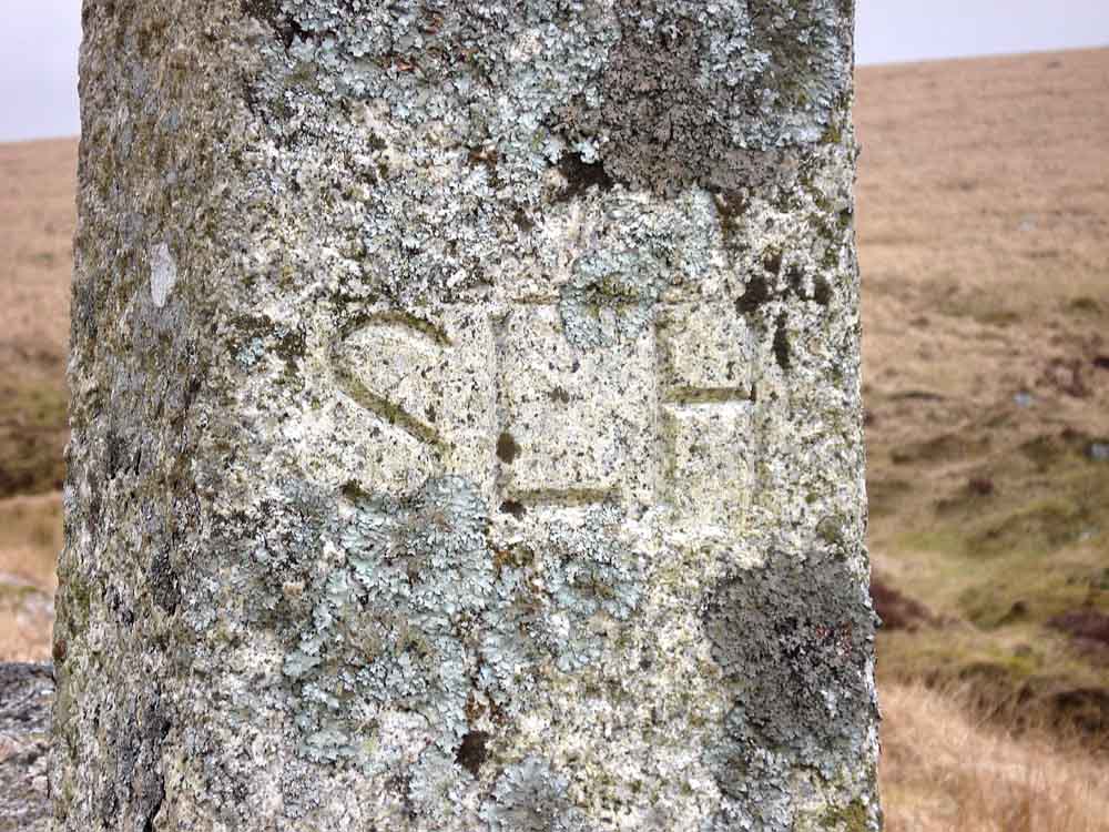
"SLH" .....

..... "1897-1966".

A place of traveller's rest.
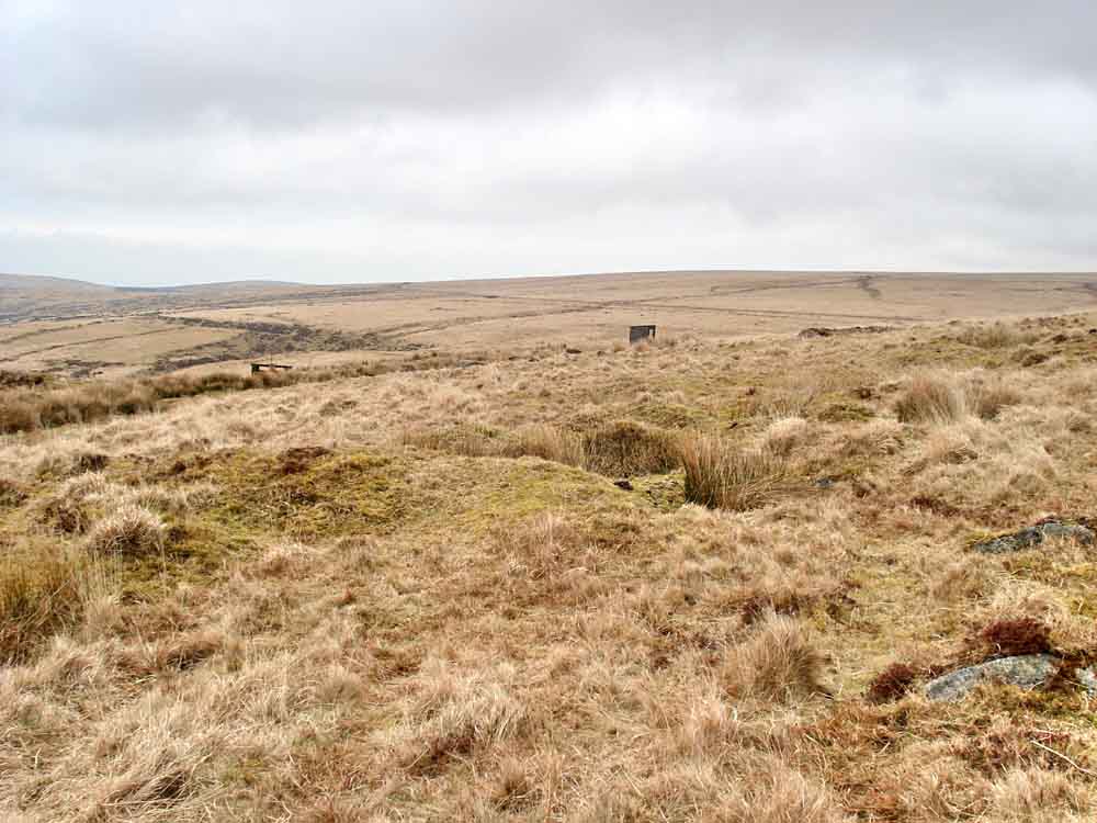
Looking back with the sluice, near centre-left, and the water works hut on the leat and the run of the leat across the landscape contouring away (look just above the hut).

An old tinner's hut beside the "modern" leat.

Looking back at Hutchinson's Cross .....
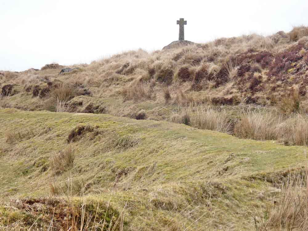
..... zoomed.

The point where Devonport Leat comes out from under the hill near Nun's Cross Farm .....

..... closer.

The fireplace at the old blacksmith's shop, nearby - my glove blew over the camera lens for the overview of this place, three times! See here for that view.
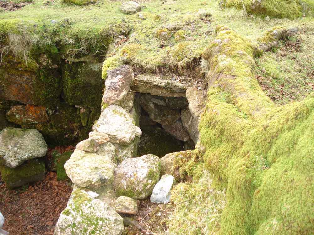
Looking down on the fireplace.

Nun's or Siward's Cross .....

..... nearly there
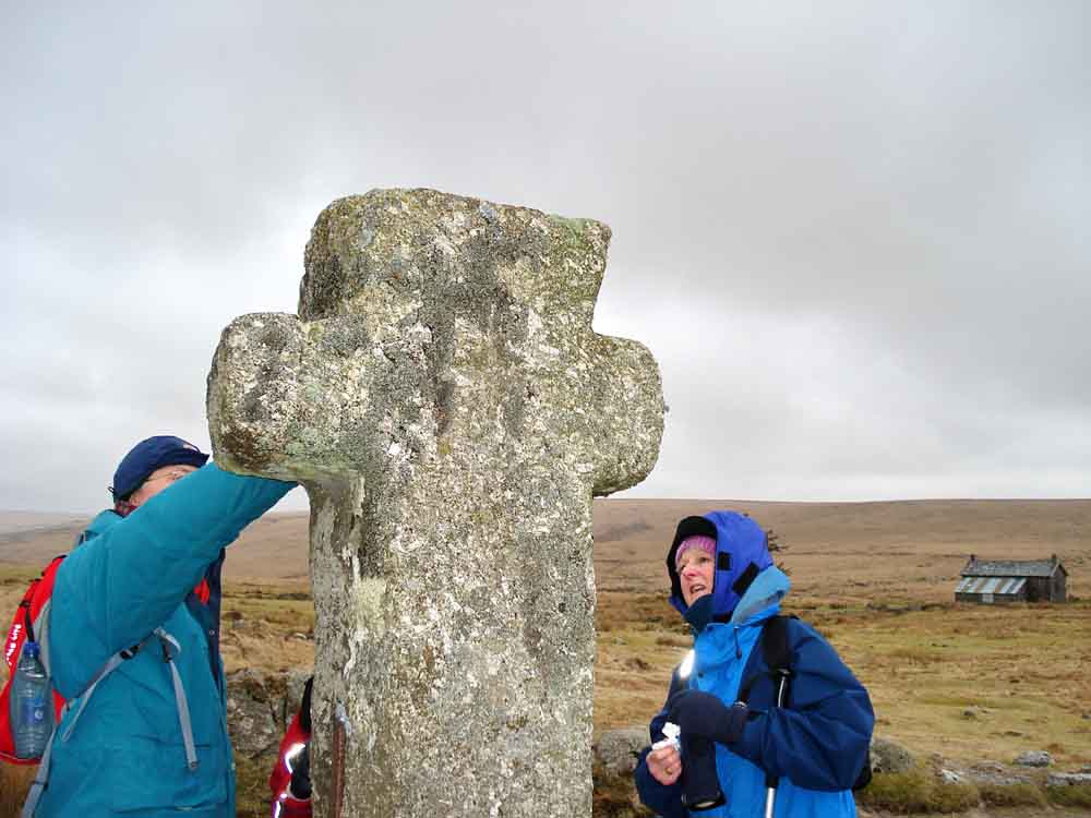
THis face bears the inscription "BOC LOND", as seen on this page (almost the final photograph).

On this east-facing side the cross is said to be engraved with "SIWARD".
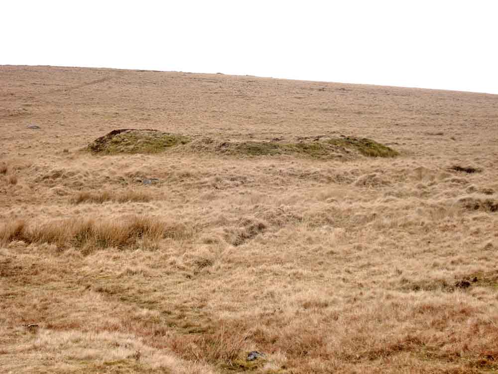
Feature seen close to Nun's Cross.
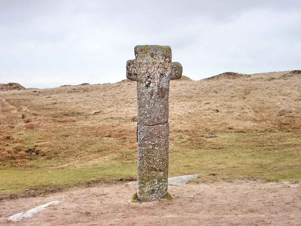
Looking back at Nun's Cross, which was thrown over and broken in the 19th Century. It was repaired by Sir Ralph Lopes.
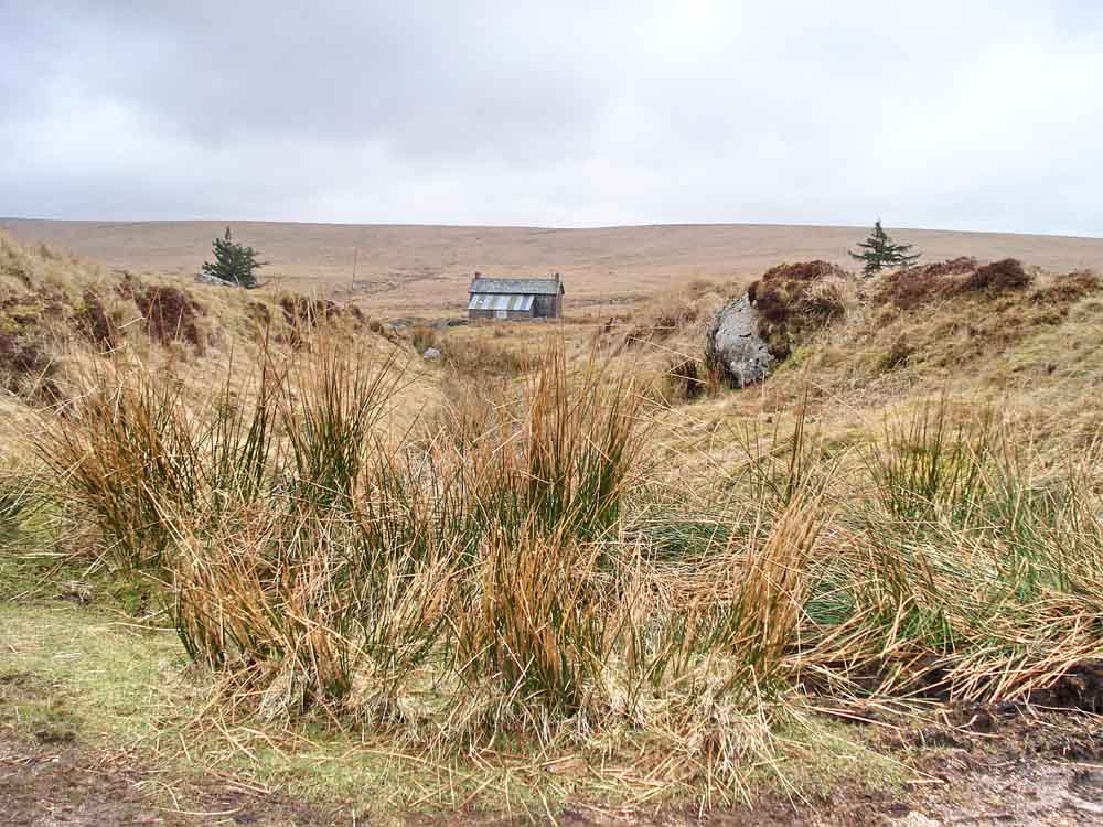
Nun's Cross Farm seen down through a cutting to its north.
MAP: Red = GPS satellite track of the walk.

Ordnance Survey © Crown copyright 2005. All rights reserved. Licence number
100047373.
Also, Copyright © 2005, Memory-Map Europe, with permission.
This walk was approached from Princetown along Tor Royal Lane, using the quarry car park marked with the yellow cross at the P symbol on the map.
Statistics
Distance - 5 km / 3 miles
All photographs on this web site are copyright ©2007-2016 Keith Ryan.