![]()


This walk: 2010-3-10. Princetown Brewery, North Hessary Tor TV transmitter, Dartmoor ponies, River Meavy head, frog spawn, Sheep's Tor, Leather Tor, Sharpitor, Sir Thomas Tyrwhitt's horse-drawn Plymouth & Dartmoor Railway, Princetown, hut circles, reeve, PCWW 1917 Burrator Reservoir water catchment area boundary stone, Foggintor Quarry, Great Mis Tor, "TA" waymarker stones between Tavistock and Ashburton, PCWW 1932 stone, railway stables.
Previous walks with photos from this area 4 Jul 2007 (Foggintor quarry, TV transmitter etc.), 20 Nov 2008 (railway stables only).
Walk details below - Information about the route etc.

The entrance to Princetown Brewery - the home of Jail Ale and Dartmoor IPA.

The North Hessary Tor TV transmitter.

Dartmoor ponies enjoying the sunshine, quite a change from the weeks of snow, ice and biting winds.

"Hello" .....

..... a closer view of a happy pony.
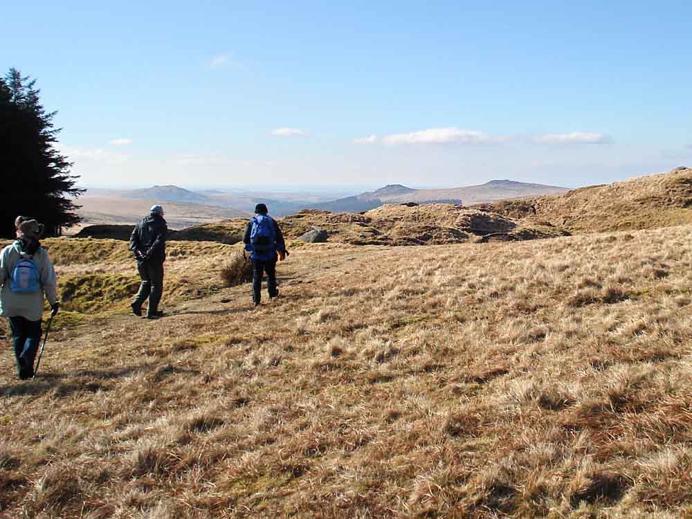
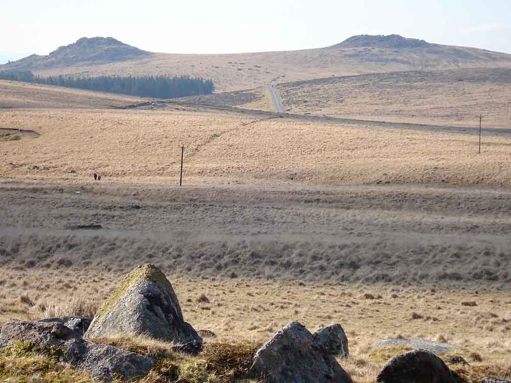
Heading out into the wilderness - Sheep's Tor (left), Leather Tor (centre) and Sharpitor (right, owned by Dartmoor Preservation Association).
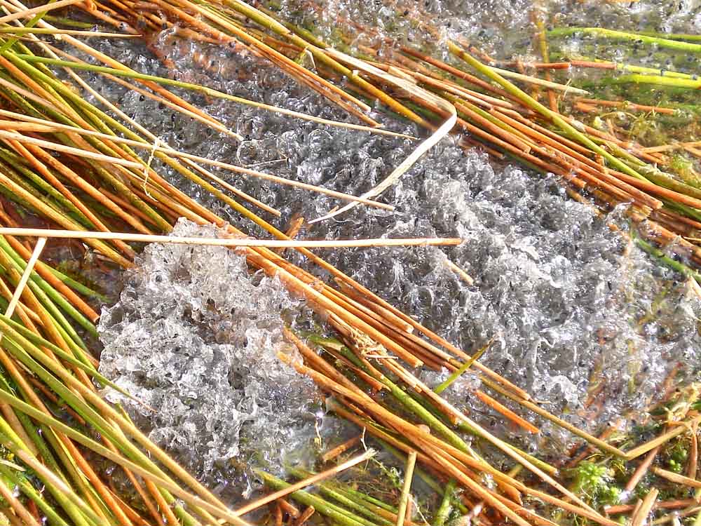
The true head of the River Meavy, as marked on older Ordnance Survey maps. "Its tidal, you know" .....

Heading down the slope to the old railway track, this being the bed of Sir Thomas Tyrwhitt's Plymouth & Dartmoor Railway. This was a horse-drawn tramway to carry granite off the moor, opened 26 Sep. 1823. It later became part of the GWR and closed 3 Mar. 1956. On the other side of the track is the area marked "Meavy Head" on the current map.

Looking towards Burrator Reservoir and with Raddick and Stanlake Plantations: Sheep's Tor (left), Leather Tor (centre) and Sharpitor (right).

Looking ahead along the railway track and .....

..... a backward glance towards Princetown.

The TV transmitter against a deep blue sky. Who said "What a nice blue sky - we don't get this with that other guide, you know!!!"

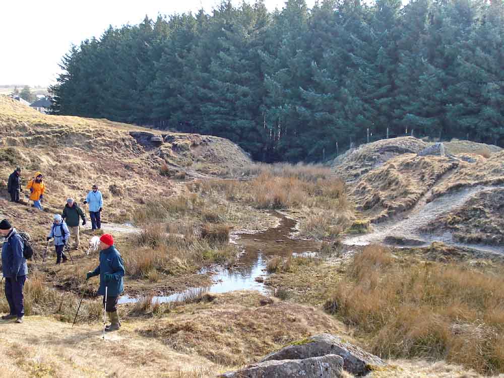
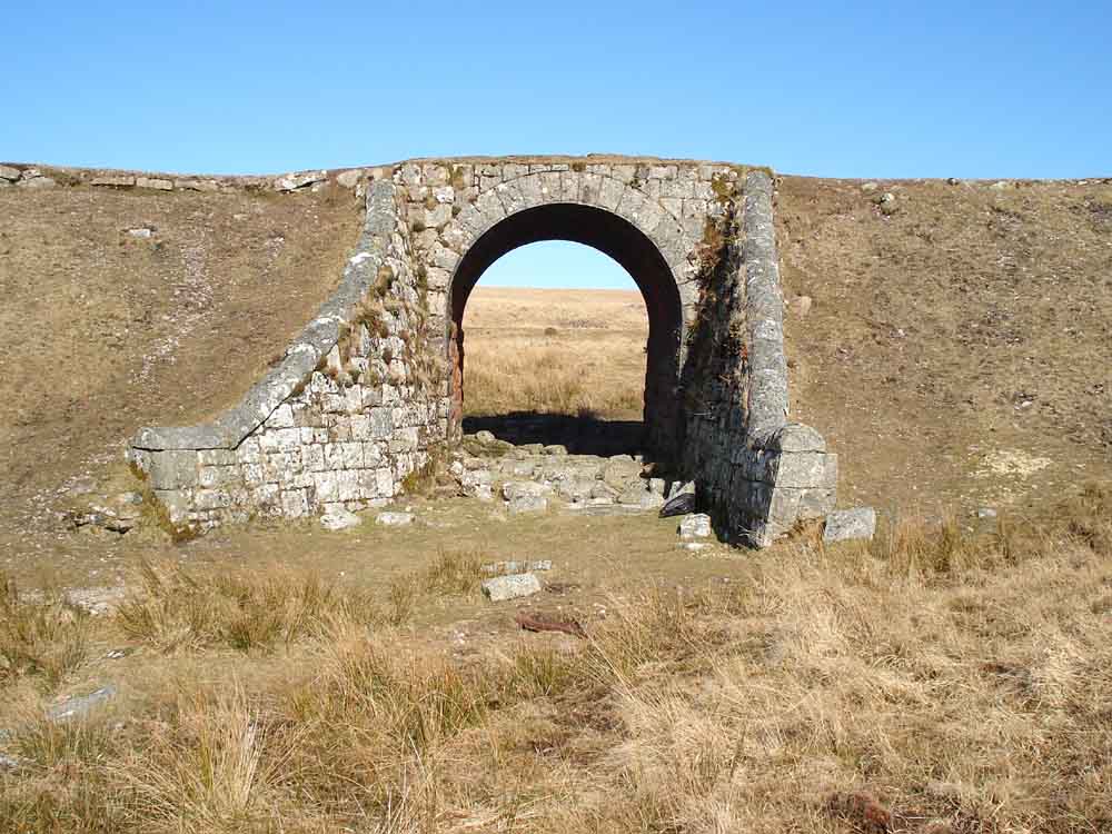
Moor Strollers on the railway bridge at SX 5816 7327 .....

..... the covered drainage channel on the south side of the bridge .....
..... and on the north side .....

Moor Strollers disappearing away from the bridge.

Hut circles in the foreground, with Leather Tor (left), Sharpitor (centre) and Leeden Tor and Ingra Tor (rightmost) .....
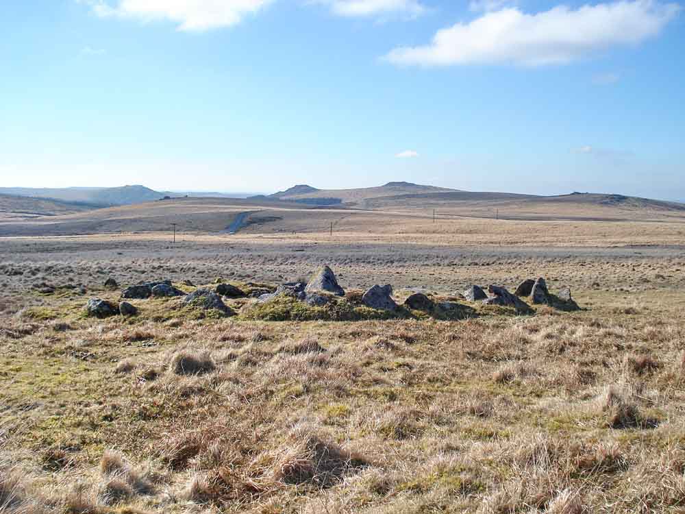
..... another hut circle, at the settlement at SX 5771 7305 .....
..... a zoomed view of the boundary reeve, the linear feature running diagonally across the moor from bottom-left to upper-right behind the telegraph pole.

PCWW 1917 - a Plymouth Corporation Water Works catchment area boundary marker for Burrator Reservoir, dated 1917, beside the railway track.

A second railway bridge, at SX 5704 7318 .....
..... looking under the arch .....

..... a rail-holding stone with two holes for fixing the rails .....

..... a section of rail, discarded under the bridge.

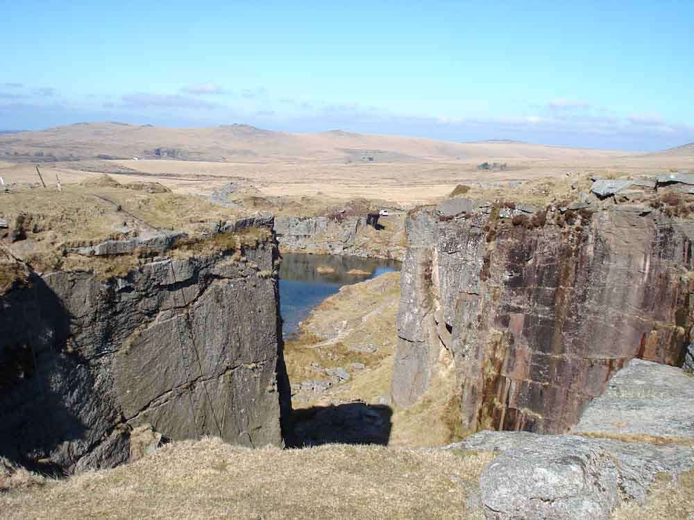
Approaching the top of what remains of Foggintor .....

..... and looking down into Foggintor Quarry, opened in 1785 and worked intermittently until 1906.

A rope and a rope ladder going down into the quarry - Royal Marines were nearby!
Now, be prepared for a "long look down" .....
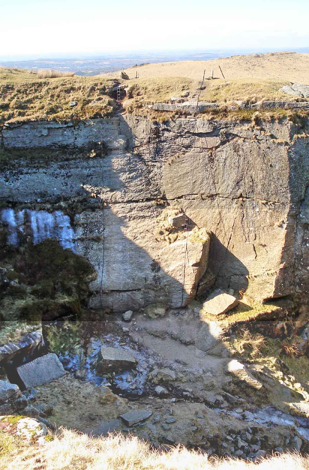
..... to the remains of the winter snow in the bottom of the quarry. "Anyone for abseiling?"

Another look at the last of the winter snow.
Looking through to another branch of the flooded quarry, where the Marines go swimming in full kit, complete with their rucksacks!

Looking along the Big Tip, unchanged since 1841 (running away in the centre of the photograph) with Merrivale Quarry beyond, in the distance. The Staple tors are to the left of Merrivale Quarry and Roos Tor is to the right, 3.87 km away (2.4 miles).

A granite stack in the quarry showing horizontal bedding planes.
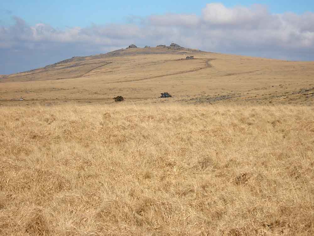
Great Mis Tor, with the diminutive Little Mis Tor below and to the right.

Staple tors (left), Roos Tor (centre) and White Tor (right).

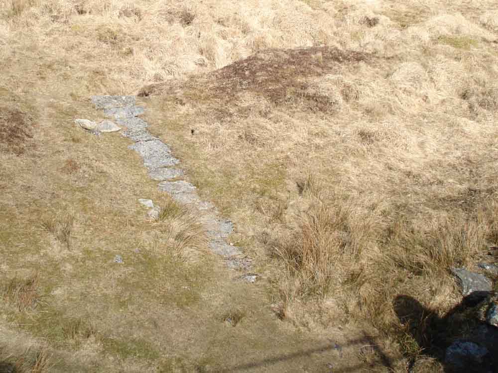
A "TA" stone , marking an old pack-horse track between the Tavistock and Ashburton: there is a line of them in this area .....

..... "A" for Ashburton ..... there is another on the skyline, to the right.
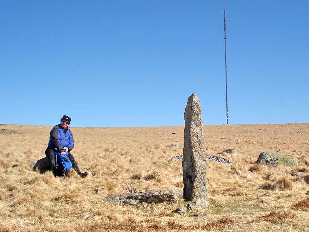
One happy guide, a "TA" stone and the TV transmitter.

A close-up of the "A", with the other stone above it.
Returning to Princetown, looking at the site of the old railway station.

A PCWW 1932 stone, from when Burrator Dam was raised and the water catchment area extended. There are also two "BTC" (British Transport Commission) stones in this marshy piece of land.
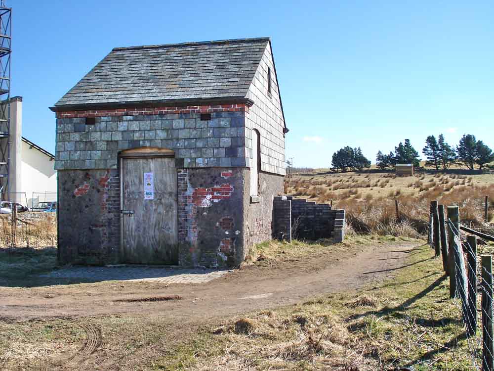
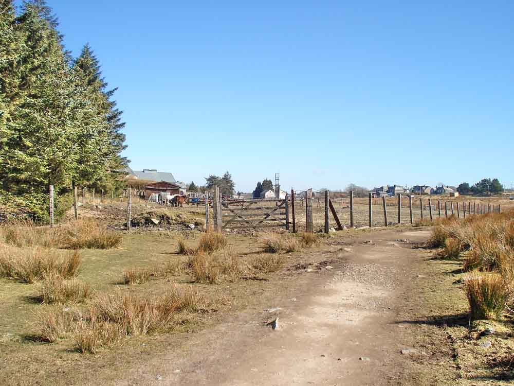
The stables of the old horse-drawn railway.
MAP: Red = GPS satellite track of the walk.

Ordnance Survey © Crown copyright 2005. All rights reserved. Licence number
100047373.
Also, Copyright © 2005, Memory-Map Europe, with permission.
The walk was accessed very easily by the main roads to Princetown, with parking at the town car park, marked by the P symbol on the map and more precisely by the yellow cross.
Statistics
Distance - 6.09 km / 3.78 miles.
All photographs on this web site are copyright ©2007-2016 Keith Ryan.