![]()


This walk: 2010-2-17. Wheal Jewell Mine Leat, Ger Tor, Hare Tor, Sharp Tor, Tavy Cleave, River Tavy, Tavy Sharp, cairn, Fur Tor (cloud covered), military firing range observation post, ford, Dead Lake, Rattle Brook, hut circles, settlement.
Walk details below - Information about the route etc.
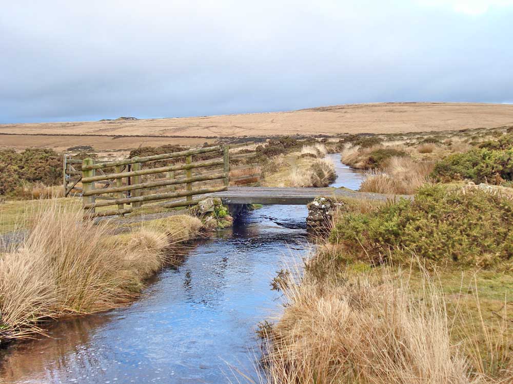
Bridge over the Wheal Jewell Mine Leat at SX 5404 8254, looking NW, downstream, towards Lydford. It is not a clapper bridge.

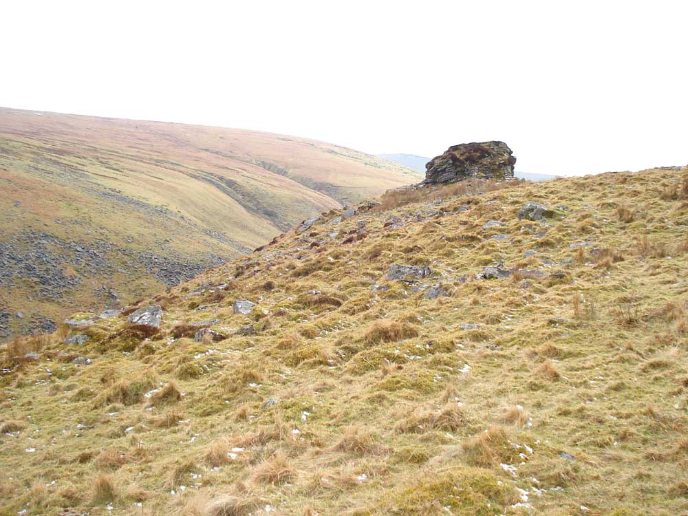
Looking up the slope to Ger Tor, SX 5467 8309, elevation 430 metres (1410 ft).

View to north-east seen on reaching the ridge near Ger Tor, looking at Hare Tor (531 m / 1742 ft) with Sharp Tor beyond (519 m / 1702 ft).

Rock pile at Ger Tor.

Looking beyond Ger Tor to Tavy Sharp at SX 5540 8334.

View after Ger Tor, down into Tavy Cleave with the River Tavy below.

Approaching the outcrops of Tavy Sharp.
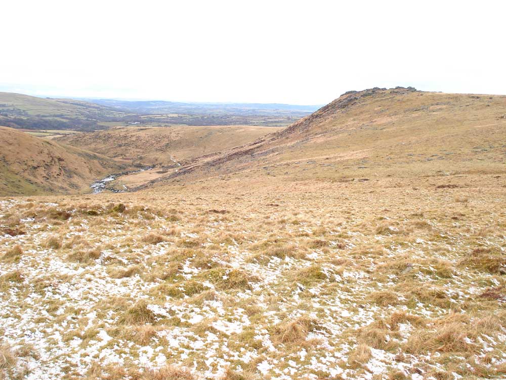
Looking back at Ger Tor with the Tavy in the valley - some quite steep slopes in these parts!
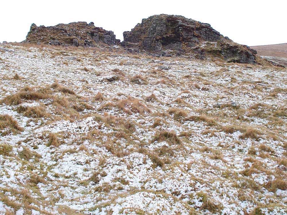
The afore-mentioned outcrops.

A zoomed view down into the cleave, with some snow/hail on the far slope.

The outcrops.
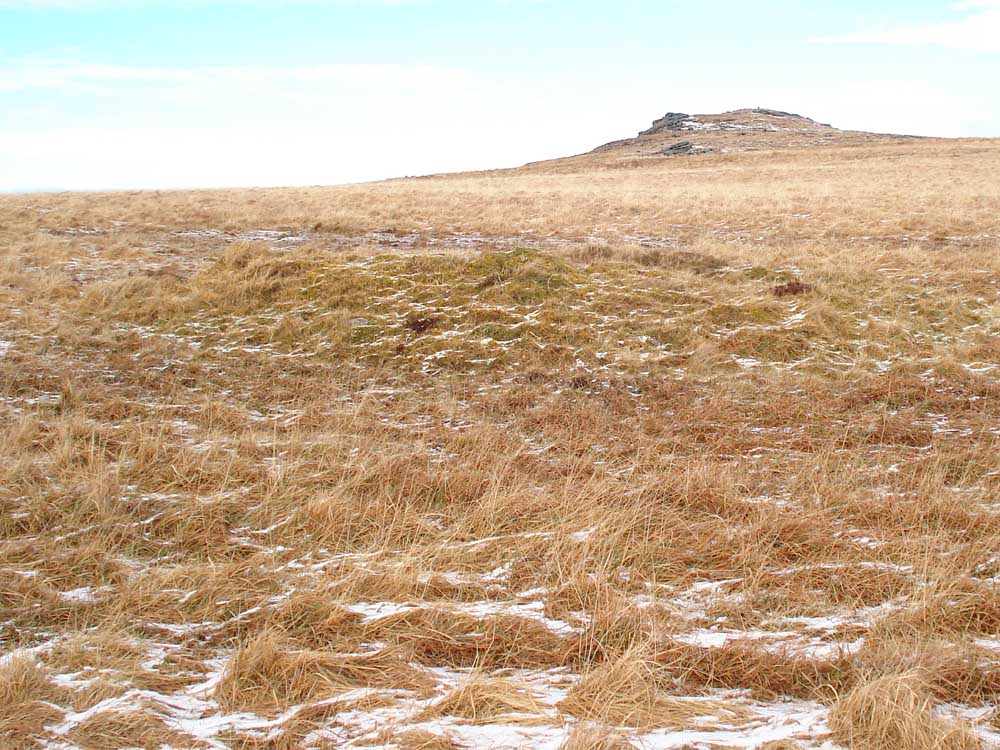
The centre area of this photo is occupied by the cairn at SX 5547 8370, with Hare Tor behind.

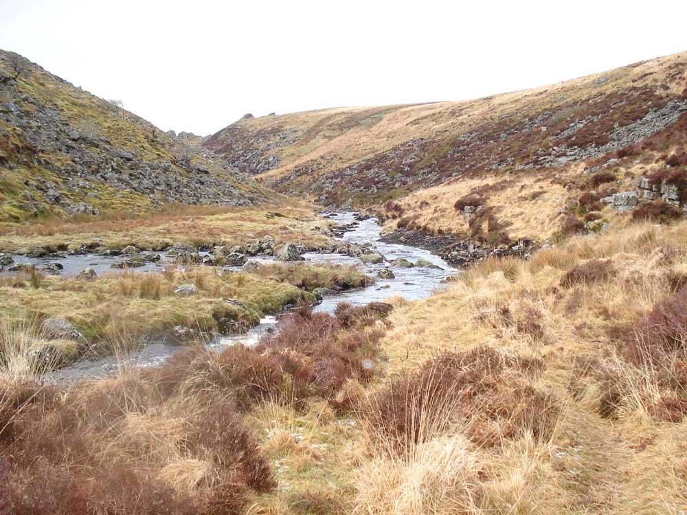
Looking up Tavy Cleave.
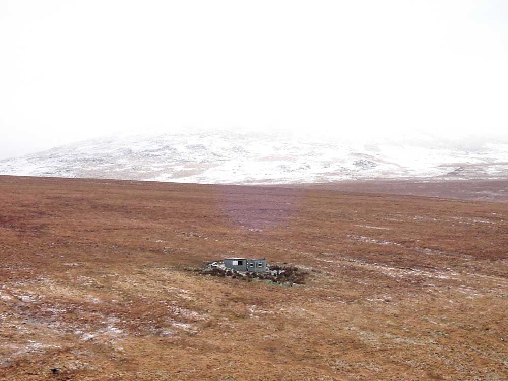
Looking towards Fur Tor with a military firing range observation post on the hill opposite.

The River Tavy, down in the cleave.

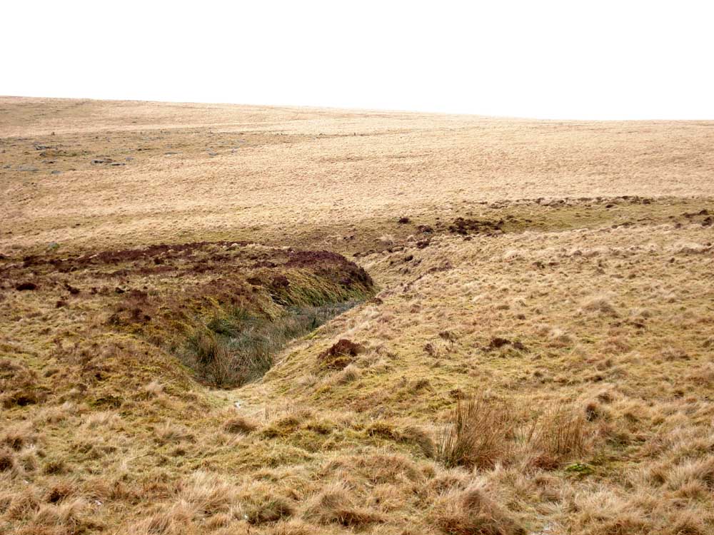
Approaching the crossing over Dead Lake, at SX 55950 84121.
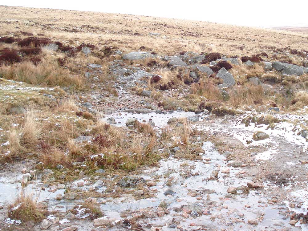
The crossing place.

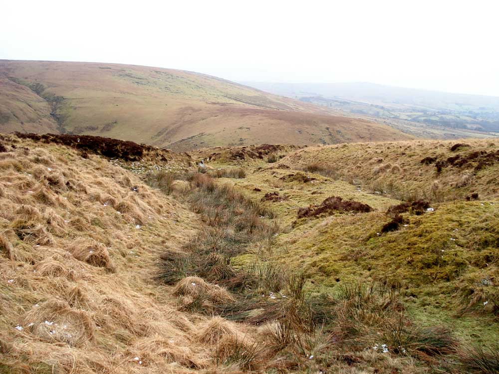
Looking up the Rattle Brook.
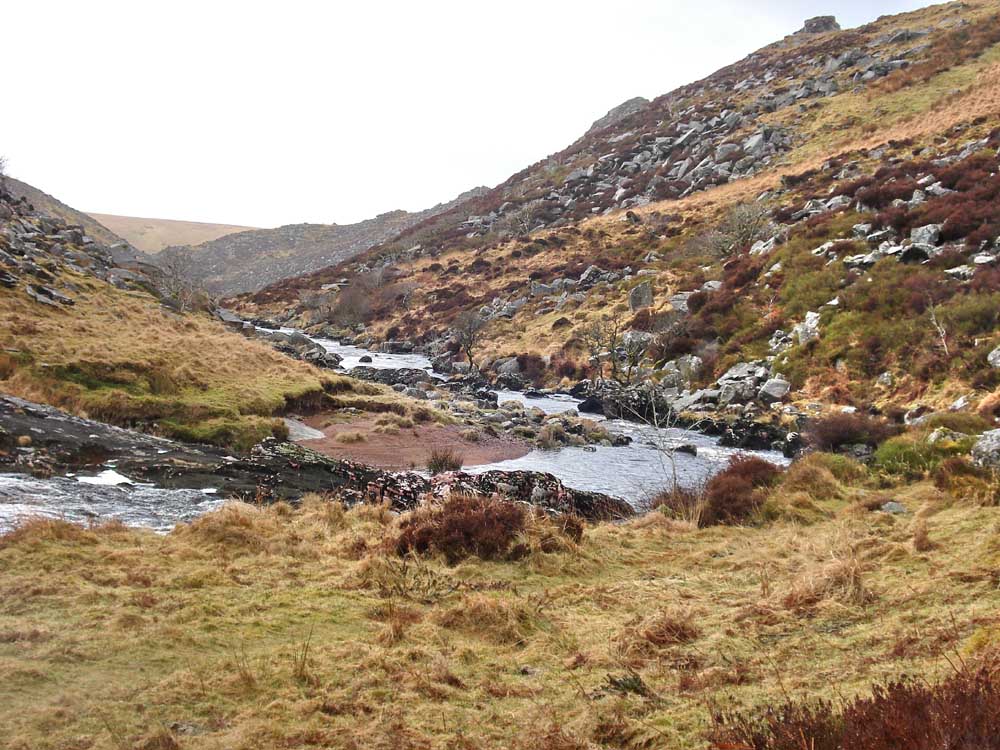
Looking downstream to the confluence of the Rattle Brook (nearest camera) and the River Tavy.

Looking at the confluence again, with Rattle Brook (left) and the River Tavy coming from up the valley running up towards the right of the photo.

Looking down the cleave with some familiar outcrops towards the top right.
Another view down the cleave ...... from near here it became necessary to scramble up the steep gorge wall because there was no path visible without performing like a fly alongside the river - not for me in this weather!

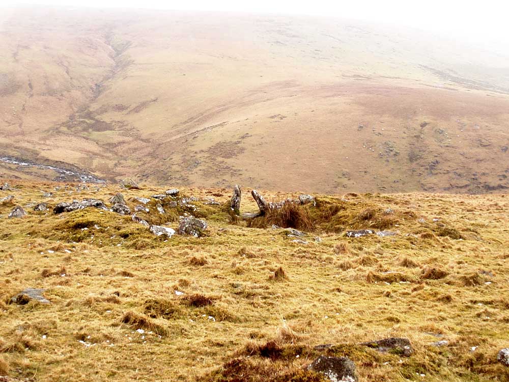
An observation post seen while climbing the gorge side.
An outcrop seen previously.

Another view to Fur Tor (I believe).

Looking down the cleave towards Horndon and Mary Tavy.

Similar view, from the outcrop.

Linear feature seen in the distance .....
This turned out to be part of a Y-shaped cutting, possibly man-made.
Looking down the cutting at the Tavy.

Hut circles and walls at the Settlement near SX 54960 83458.

Looking along the uppor/outer settlement wall towards Ger Tor. This ran on the map below from the red track point just under the "8" in the "0800" telephone number to the south-west.
Another view of hut circles.
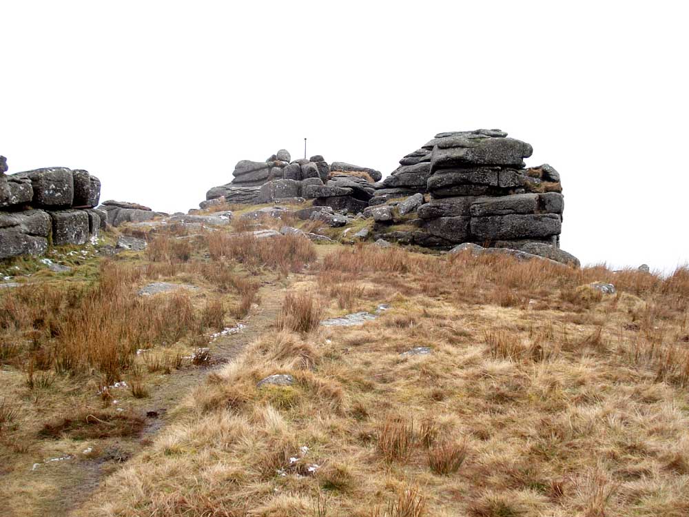
Back at Ger Tor, with its firing range flag post for warning flags.
Red = GPS satellite track of the walk.

Ordnance Survey © Crown copyright 2005. All rights reserved. Licence number
100047373.
Also, Copyright © 2005, Memory-Map Europe, with permission.
The walk was accessed from Mary Tavy following signs for Horndon and then Lane End, where there is a good-sized car park at the P symbol on the map.
Statistics
Distance - 7.4 km / 4.6 miles
Start 9.50 am, Finish 2.01 pm, Duration 4 hr 11 min
Moving average 3.6 kph / 2.24 mph; Overall average 2.1 kph / 1.3 mph.
All photographs on this web site are copyright ©2007-2016 Keith Ryan.