![]()


This walk: 2010-11-24. Bellever Forest, Laughter Hole House, Laughter Hole Farm, Loughtor, epiphytic lichen, goat, string-of-sausages lichen - Usnea articulata, Loughtor Gate, Postman's Road, blocking stone, Loughtor Man, Haytor, Laughter Tor, sheep measure, Billl Mudge Memorial, Laughter Tor Cross.
Walk details below - Information about the route etc.
Extra photographs taken the following day, 25 Nov. 2010, with blue sky.
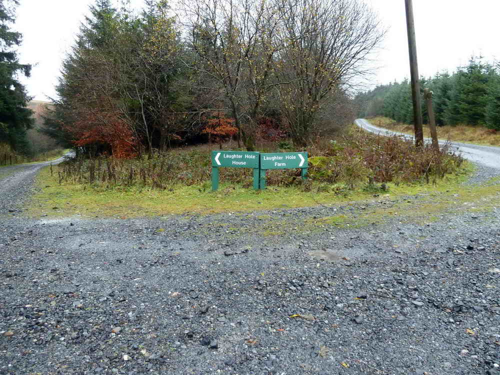
In Bellever Forest, Laughter Hole House or Laughter Hole Farm? Originally the name was Loughtor but it has mutated over time. We went via the farm .....

A tramp's heartbreak - a long undulating forest road.

Two horses wrapped up for bad weather in a field at the farm, but look at the tree behind .....
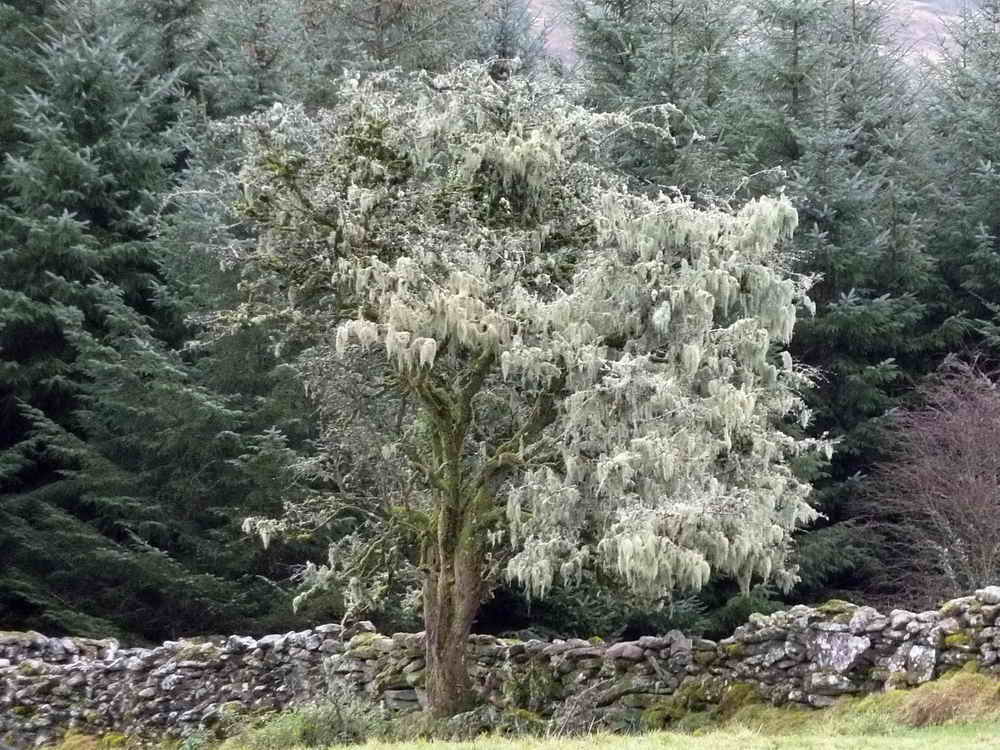
A tree festooned with epiphytic lichen. (Epiphyte = lives on but does not damage, unlike a parasite)
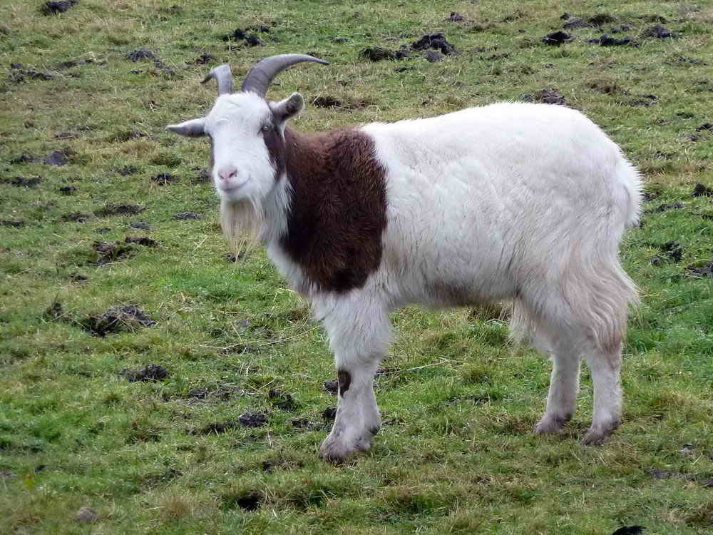
Billy Goat Gruff?

One of the horses was curious as to what we were doing, walking by.
More lichen, Usnea.
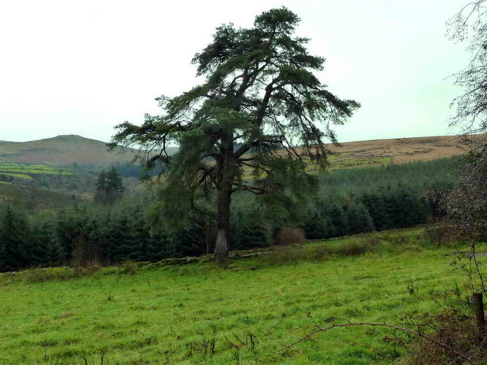
An interesting tree - a Scot's Pine, see the bark and leaves (needles) on the extra page of photos from the following day.
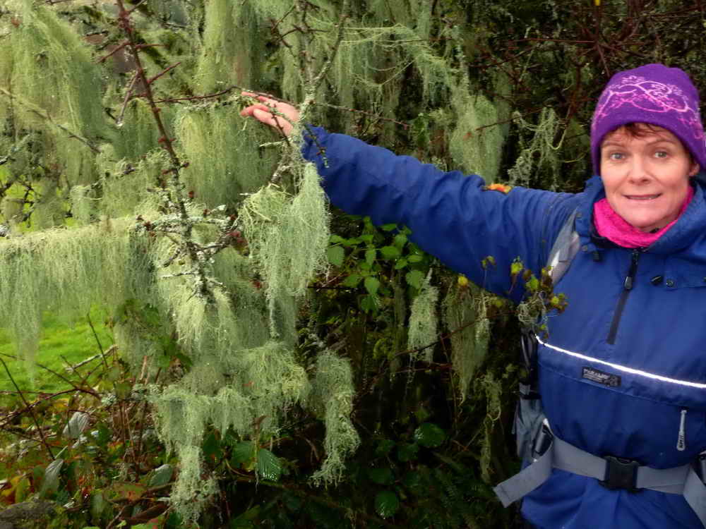
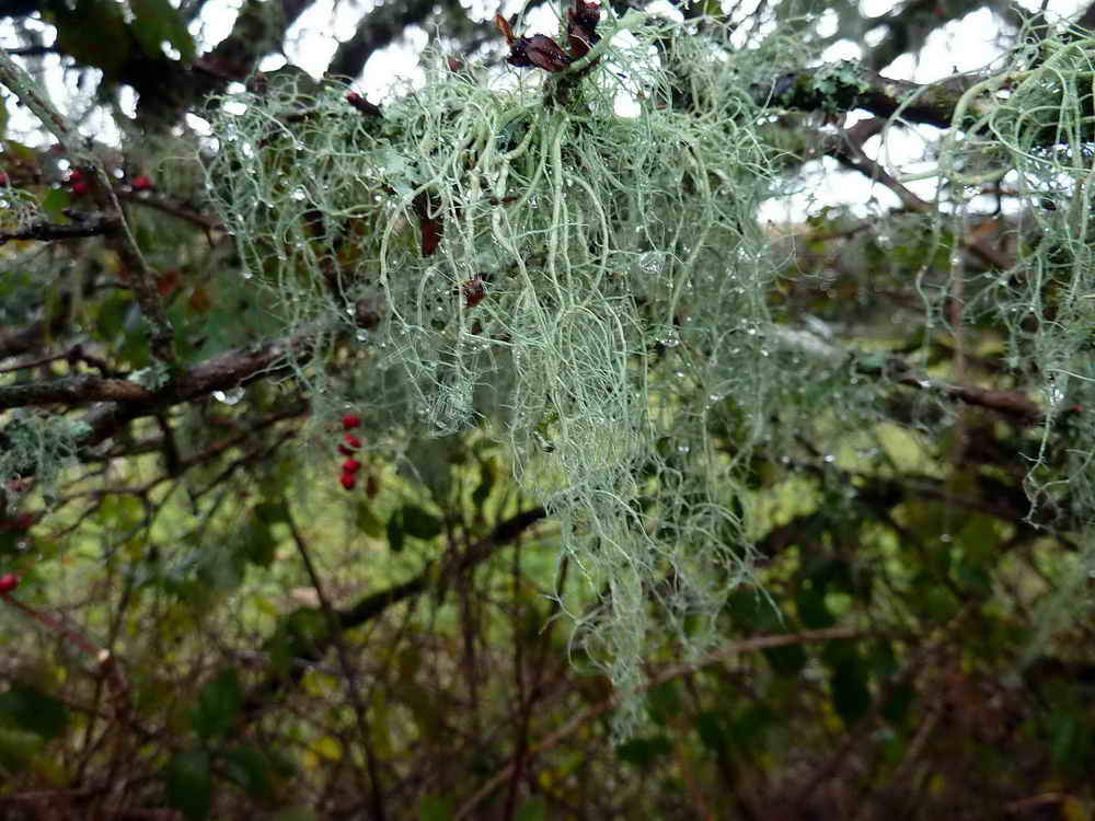
Another tree with festoons of Usnea .....

The string-of-sausages lichen, Usnea articulata: Link - French Wikipedia
One measure of air purity is based on the presence/abundance of lichens, where different lichens can tolerate different levels of pollution. The method uses the Hawksworth & Rose Zone scale for the mean estimation of mean winter sulphur dioxide levels in England & Wales (see Table 1). With a scale of ten levels of pollution/purity, the presence of Usnea articulata indicates the purest air - see the bottom line of the linked web page. Strollers breathe only the best air!

And again.
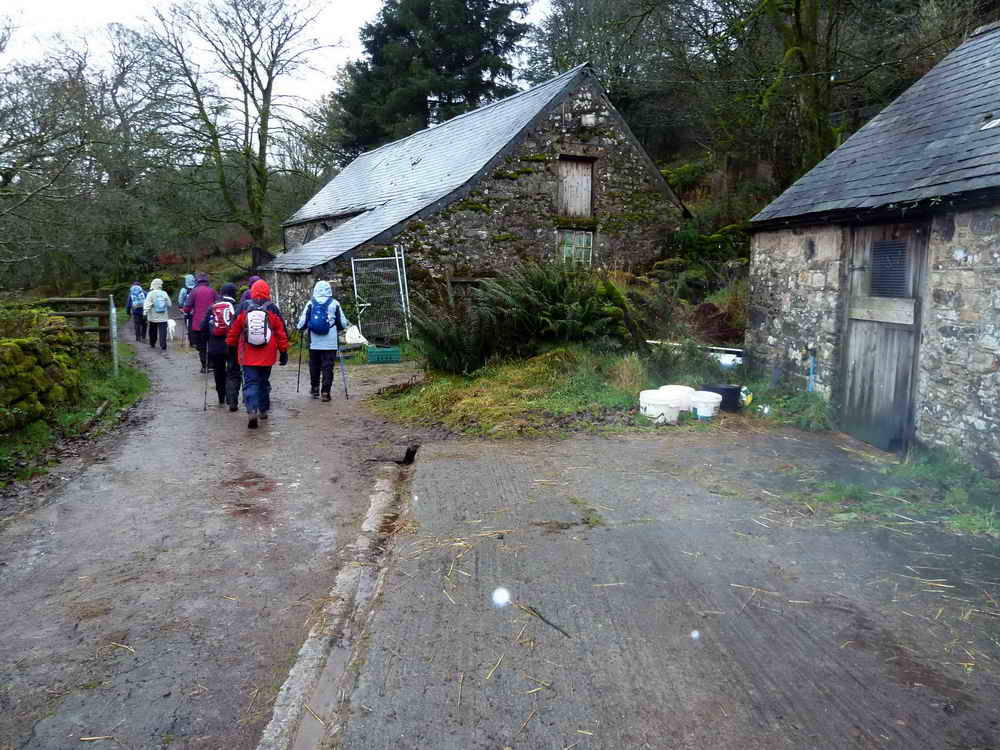
Passing through the farmyard at Laughter Hole Farm ..... here since 1733. Once the site of an earth tremor, on Christmas Day in 1923, when the Christmas decorations fell down.
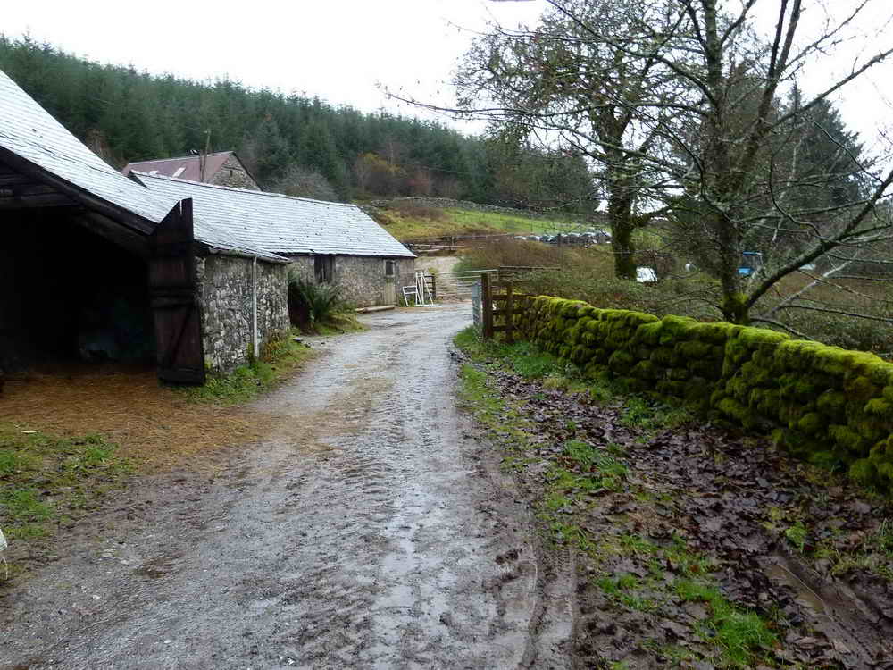
Looking back through the yard.

More lichen.
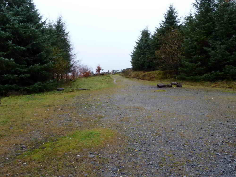
Loughtor Gate onto the open moor. This is part of "Postman's Road", between Postbridge and Dunnabridge. It was ridden daily by Jack Bellamy, the postman in years gone by: see HERE (from 1957) and HERE (from 1963) for Path� News clips (you may have to endure a "commercial" first). The first video shows Laughter Hole Farm. Six days a week, he rode 10 miles, visiting 45 farms.

Two strange stones beside the track.

A blocking stone (left) at the end of a poorly-preserved double stone row and Loughtor Man standing stone (right).

Zoomed view to Haytor, 10.5 km (6.53 miles) distant, on a bearing of approx. 78�.
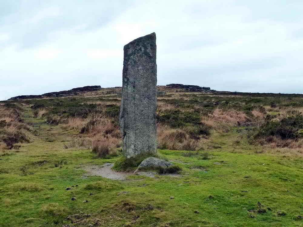
Loughtor Man, with Loughtor or Laughter Tor behind .....

As previous photo, from another angle. Eric Hemery in High Dartmoor, pages 488-491, says: "
Slightly west of south from the pound stands the fine menhir known as 'the Loughtor Man'. Standing 8 feet 7 inches above ground, its greatest width is 2� feet and its thickness, at base, eighteen inches, tapering to nine inches at the tip. The menhir formerly marked the termination of a double stone row, much robbed by the wall-builders, the remnant length of which Worth gives as c.657 feet. The increasing size of the stones at the south-east end of the row, including that of a fallen one, points to the former position of the now vanished grave�

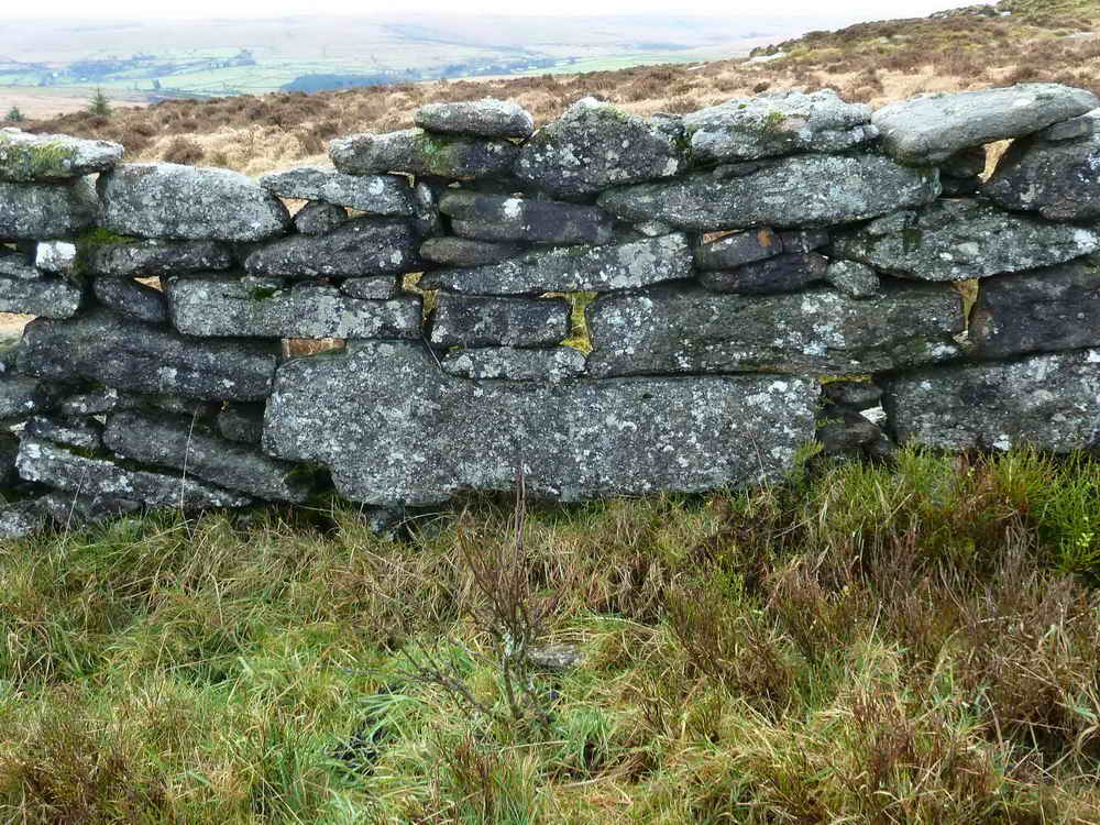
Sheep fold for enclosing and counting sheep, i.e. "sheep measure", just south of Laughter Tor, at SX 6528 7559 .....

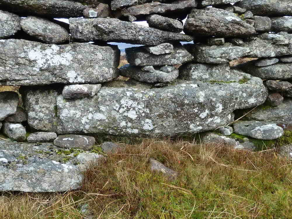
Two large stones within the enclosure ..... suggested by some that taken with three other large stones nearby may have formed a dolmen .....

Another view of the sheep measure, also known as Laughter Tor pound.

The eastern rocks of Laughter Tor .....

..... and the western rocks. The tor is not an impressive rock pile but the view from the top is a full 360� panorama. The area around the tor was heavily settled in the Bronze Age, as described by Jeremy Butler in Dartmoor Atlas of Antiquities, Vol. 2 - The North, Map 27.13-16, pages 46-47.

The Bill Mudge Memorial Stone, remembering a Huckaby farmer who died 17 August 1969 (according to this article of the Widecombe History Group?). The stone appears to say 17/6/1960 .....
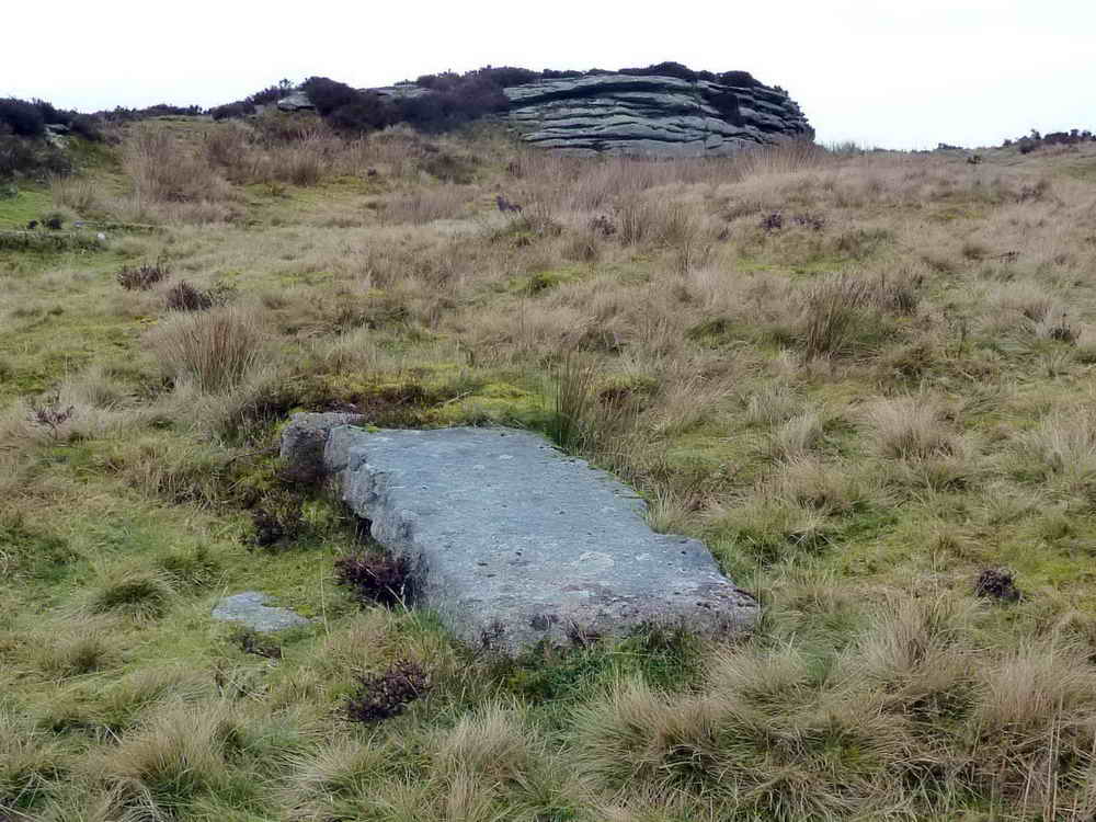
The memorial is in a recess visible in this photograph along the right edge of the stone, near the camera. The stone is located at SX 65268 75673, just south-east of the western rocks of Laughter Tor.

Another view, showing clear wooden wedge marks along the top-left edge, showing how the stone was cut.
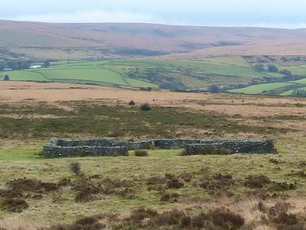
Looking back at the sheep fold.
Laughter Tor Cross, SX 65419 75791, laying in a newtake wall .....
From the other side of the wall, the base of the cross (left) can be seen to be shaped to fit in a socket stone. Also, hidden edges are grooved or chamfered. There are questions as to whether the cross was actually finished or was abandoned, to be incorporated later into the wall. The story of the cross is also shown HERE, on the Legendary Dartmoor web site. The nearby stone row was also believed to have been robbed when the wall was built.

Showing the cross in relation to a nearby rock pile and small tree.

An unidentified fruticose lichen, so-called because of the branched, shrub-like thallus (body), attached by a sucker-like holdfast.

Stalked fruiting bodies (podetia, sing. = podetium) of a Cladonia-type lichen, growing with a moss.

A pretty-shaped tree.

Picnic area back near the car park.

The East Dart River seen through the trees .....

Another, zoomed, view.

As previous photo.

Back at the car park.
Extra photographs taken the following day, 25 Nov. 2010, with blue sky.
MAP: Red = GPS satellite track of the walk.

Ordnance Survey © Crown copyright 2005. All rights reserved. Licence number
100047373.
Also, Copyright © 2005, Memory-Map Europe, with permission.
This walk was reached by taking the road south from Postbridge, to Bellever, turning left and then right into the forest to the P symbol on the map (parking fee: �2 for over two hours) .
Statistics
Distance - 5.73 km / 3.56 miles
All photographs on this web site are copyright ©2007-2016 Keith Ryan.