


This walk: 2009-9-23. Shapley Common, hut circles, stone walls, West Coombe Newtake, rowan berries, highland cattle, West Coombe farm block work, ash house, large granite gate posts, Mariner's Way, slotted gate post, Leapra or Leeper Cross,
Walk details below - Information about the route etc.
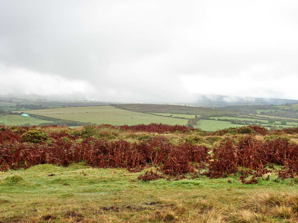
Looking north-east on a dull, misty day with some very low cloud.

A well-preserved hut circle (Bronze Age roundhouse), probably at SX 69778 83128, judged by the deviation in the track on the map below .....

..... another view .....
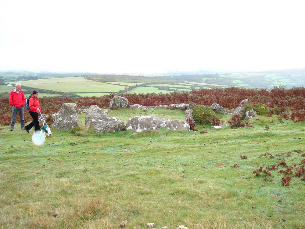
...... and again. The white spot is mist/rain on the camera lens.

Two ponies seen on the way by a gnarled tree.

Looking at the wall and to King Tor beyond, at SX 708 813.
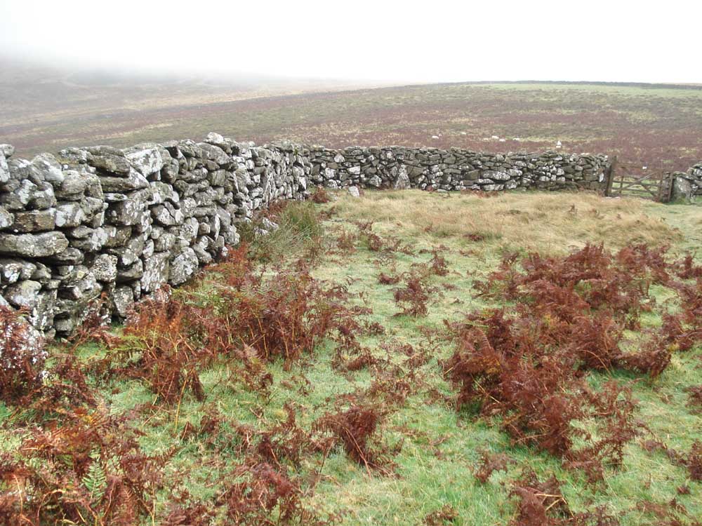
More wall .....

..... and in close-up.

Looking across to two circular shapes of possibly controlled bracken?
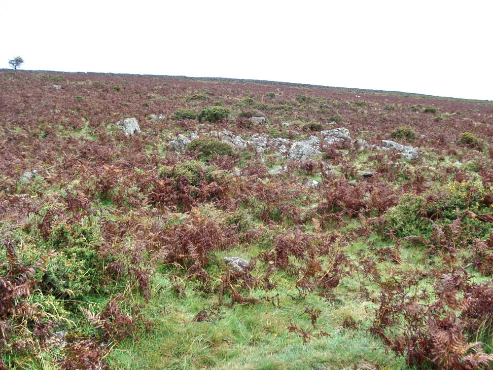
Another hut circle in the bracken. Somewhere near here is Gold Park, believed to be an Iron Age settlement.

Pond - a former reservoir which provided water to power waterwheels and process tin ore for the East Vitifer mine.

Highland cow in the bracken .....

..... and another one, much closer - what big horns!

Mountain ash, or rowan, with autumn berries .....

..... in close-up.

Mist-outlined spider webs on gorse .....

.... and one in close-up.

Caption competition!

Seen along the way, by West Coombe farm.

Impressive granite "broad and narrow" block work at the farm.
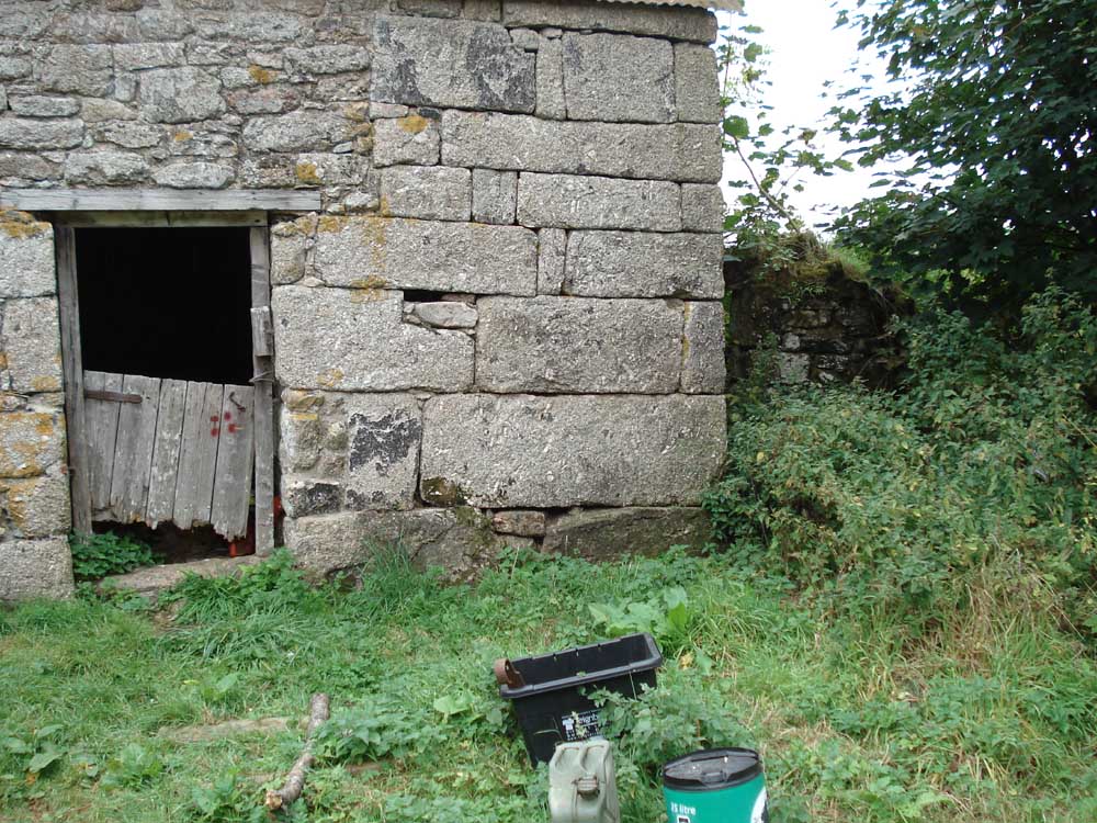
..... and again.
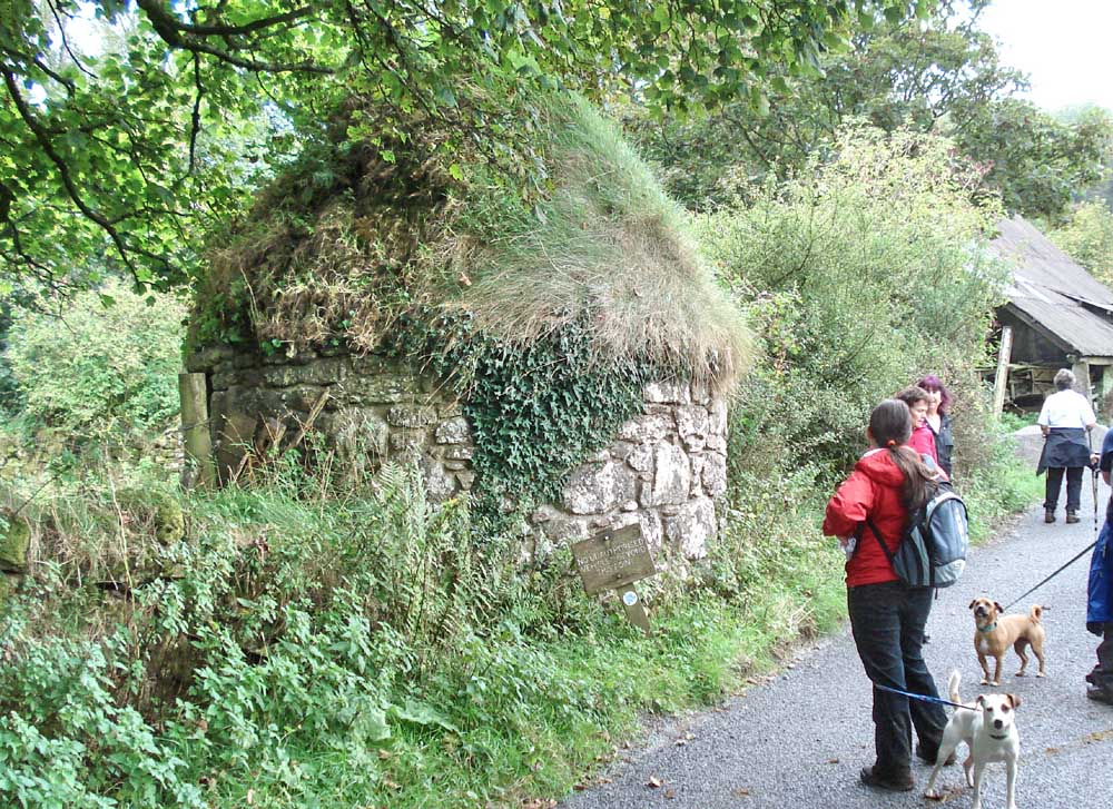
The old ash house at the farm, where fireplace ash was stored for later use in fertiliser production for the fields. The ash was fed in through a slit in the wall .....

..... the door around the back where the ash was later removed.
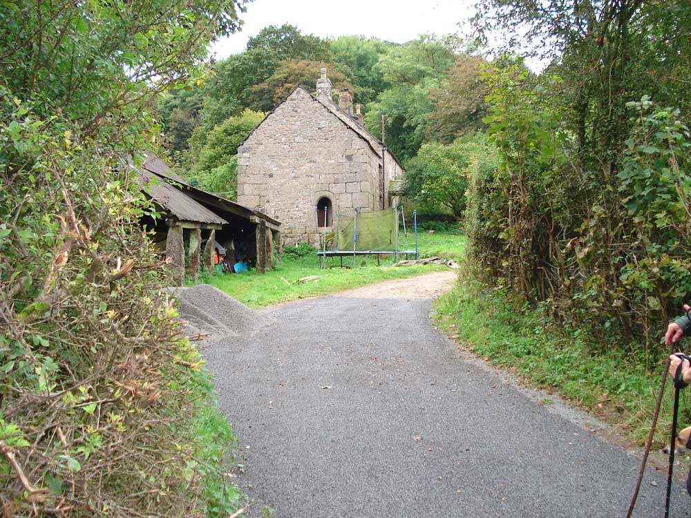
A view of part of the farm, a building through which the Mariner's Way is believed to have actually passed.

An enormous granite gatepost .....
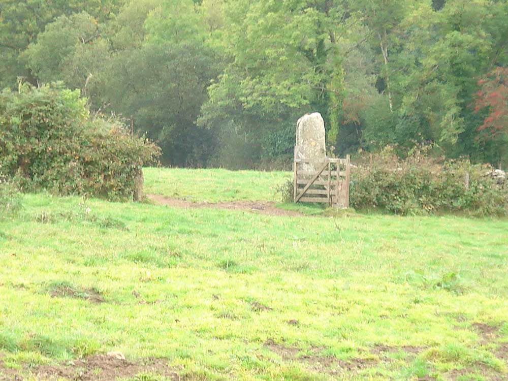
..... and another, looking like a menhir.

Photo of dubious quality of a signpost along the way.

Moor Strollers along the Mariner's Way.

A slotted gate post, with reddish lichen .....

..... the lichen, probably Candelariella vitellina, found on nutrient enriched rocks, can indicate a bird perch.
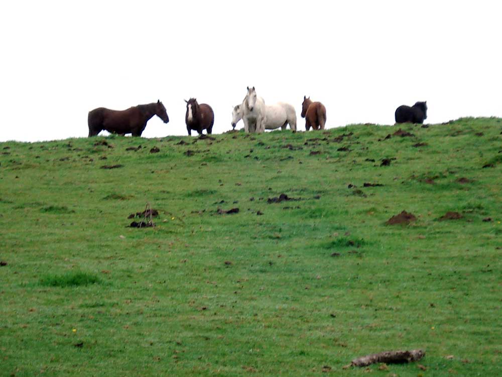
A group of ponies.

The remains of Leapra/Leeper Cross.
MAP: The red line is the route walked.

Ordnance Survey © Crown copyright 2005. All rights reserved. Licence number
100047373.
Also, Copyright © 2005, Memory-Map Europe, with permission.
The walk was accessed from the car park on the north side of the B3212 Postbridge-Moretonhampstead road, about 3 km passed the Warren House Inn, towards Moretonhampstead, at the the P / yellow cross symbol on the map
Statistics
Distance - 5.5 km / 3.4 miles.
All photographs on this web site are copyright ©2007-2016 Keith Ryan.