![]()


This walk: 2009-6-24. Plymouth Leat - also known as Drake's Leat, Sheeps Tor, Peek's Hill, Sharpitor, various wild flowers - incl. foxglove, meadow buttercup, dog rose, bindweed, National Cycle Network, Route 27, site of Shaugh Platform, Smokies Tunnel, Bickleigh Vale Phoenix Mine - also known as Tunnel Mine, River Meavy, shrub roses, ling or common heather. Finally, a special "Thank you" to Celia and Alan for hospitality during the walk.
Walk details below - Information about the route etc.

Low-angle view from inside Drake's Leat, cleared of gorse and bracken by
Dartmoor Preservation Association, see also Wikipedia - Drake's Leat1.

A gathering on a clapper bridge over Drake's Leat.
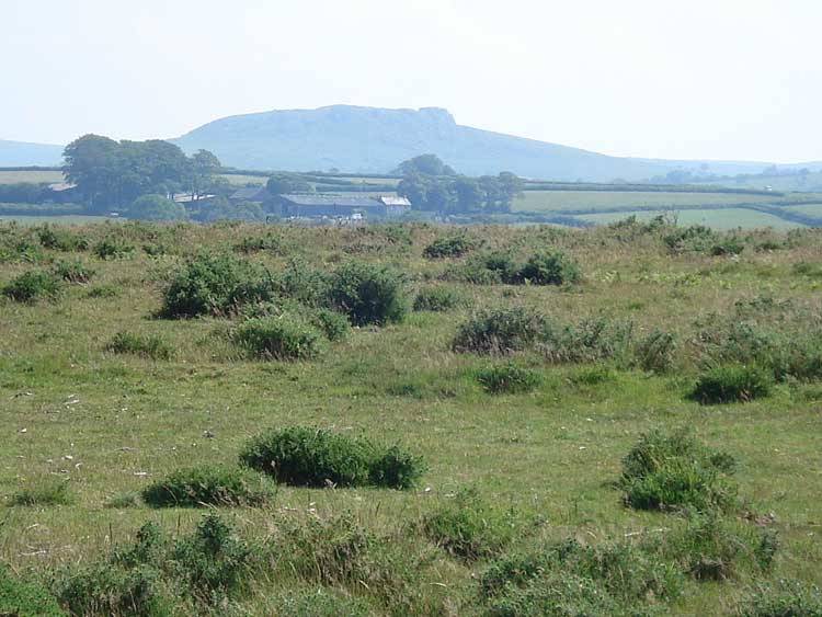
Sheep's Tor, elevation 405 metres (1328 feet).
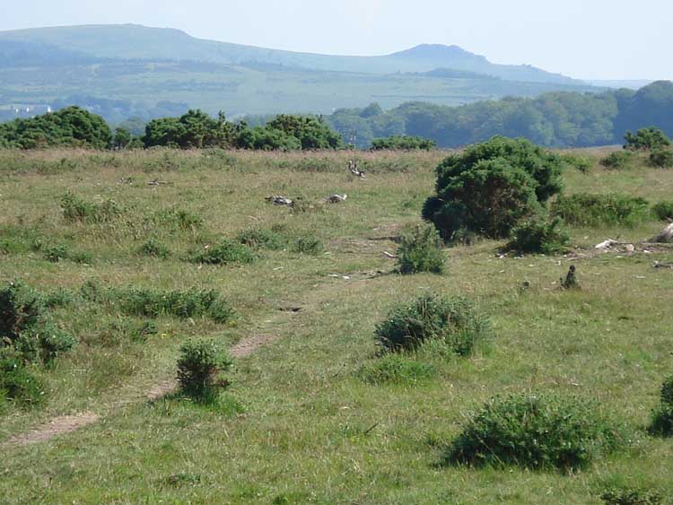
Peek's Hill (left), elevation 400 metres (1312 feet) and Sharpitor (right), elevation 406 metres (1332 feet).

A drinking trough for livestock on the Common.
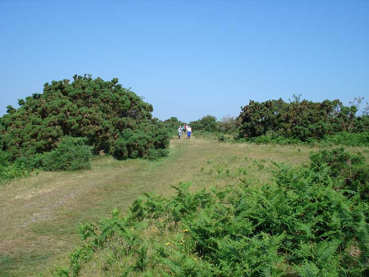
General view on the Common.
... another general view.
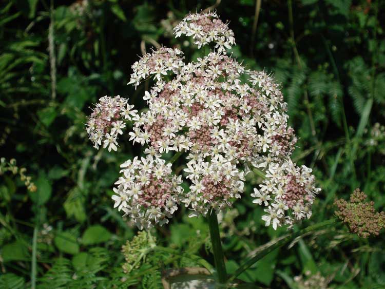
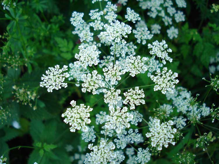
Cow parsley? Pignut? Hemlock? Wild parsnip?

..... as previous?
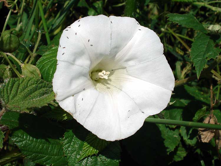
Convolvulus , a Bindweed.

Seen along the way, not Red Campion or Ragged Robin?

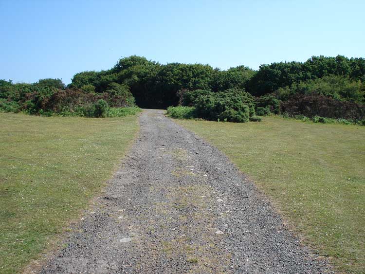
The track at one point .... or was it another?
..... more mystery, to me - Help!

As previous photo.

Perhaps not Red Campion because these petals appear separate and not bilobed ..... ?
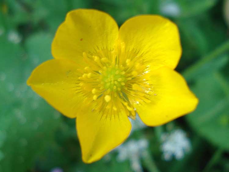
Meadow Buttercup,
Ranunculus acris.

Digitalis purpurea, Common Foxlove.
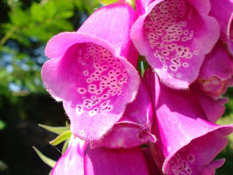
Foxglove, again.

Looking down from above the
National Cycle Network, Route 27.

Looking back at the bridge, along the cycle route, at the site of
Shaugh Platform, opened 1907, 47 years after the South Devon and Tavistock railway opened.

Rosa canina, Dog Rose

Another cycle route photograph. on a very pleasant, sunny day.
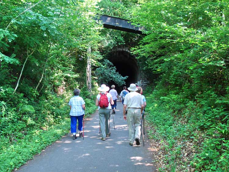
Entering the tunnel known as Smokies, 282m in length. See the aqueduct / launder / conduit carrying water of the Wheal Lopes leat over the railway.
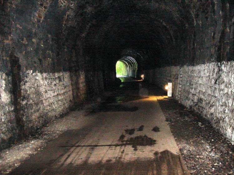
The light at the end of the tunnel, showing the lights along the way and the refuges in the sidewalls for men to shelter when trains used to run the through the tunnel - this being the old
South Devon (Plymouth) -Tavistock Railway, broad gauge, opened in 1859.
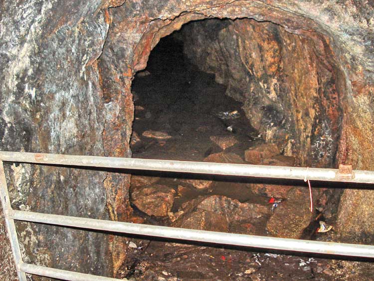
This adit is part of Bickleigh Vale Phoenix Mine, also known as Tunnel Mine, a copper mine that may also have produced lead - believed once featured in
Mining Journal.

Signpost at the far end of the tunnel .....

.... the text below.

Another cycle track photo.

A cycle track sign.

Light and shadow, water and reflections ..... River Meavy, more tranquil than out on the open moor.
Our destination ..... for coffee and cakes!

Old shrub roses in a cottage garden.
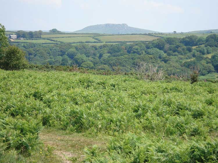
Sheepstor, again.

Ling .....
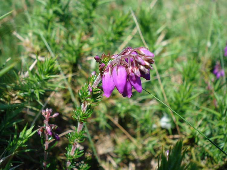
.... in close-up, Ling or Common Heather,
Calluna vulgaris.

A curve in the leat .....

..... and a double curve in the leat.
The >red line is the track of the route walked .....
![]()
Access to this walk was very easy - turning off the A386 Plymouth-Yelverton road at the sign for Clearbrook. Parking was at the car park marked with the yellow cross just before crossing over the Plymouth Leat, also known as Drake' Leat.
Statistics
Distance - 5.3 km / 3.27 miles.
All photographs on this web site are copyright ©2007-2016 Keith Ryan.