![]()


This walk: 2009-5-13. Plymbridge woods, canal, tramway, viaduct, peregrine falcons, trees .........
Walk details below - Information about the route etc.

In the beginning ........ near the car park.

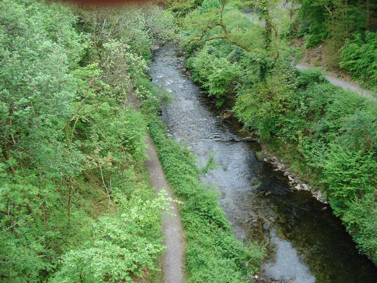
The flat field alongside the River Plym.

Underneath the arches ...... the old railway, now part of Route 27 cycle track, walking along the towpath beside the canal that ran two miles from Cann quarry to Marsh Mills. It was superseded in 1835 by the tramway which used the towpath as the track bed, hence the slate sleeper stones seen in photos below.

Looking back at the railway bridge.

Tramway sleeper stones.

Tramway stone.

An idyllic scene?

The tramway again.
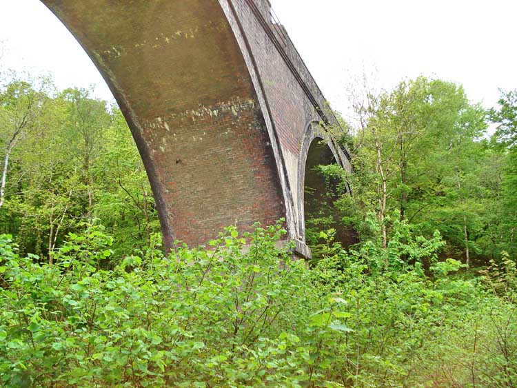
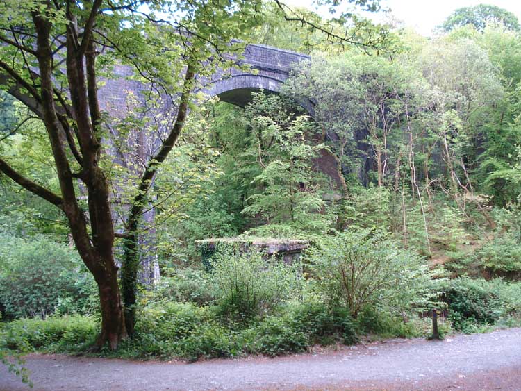
Looking up at the railway viaduct.

General view approaching the quarry area.

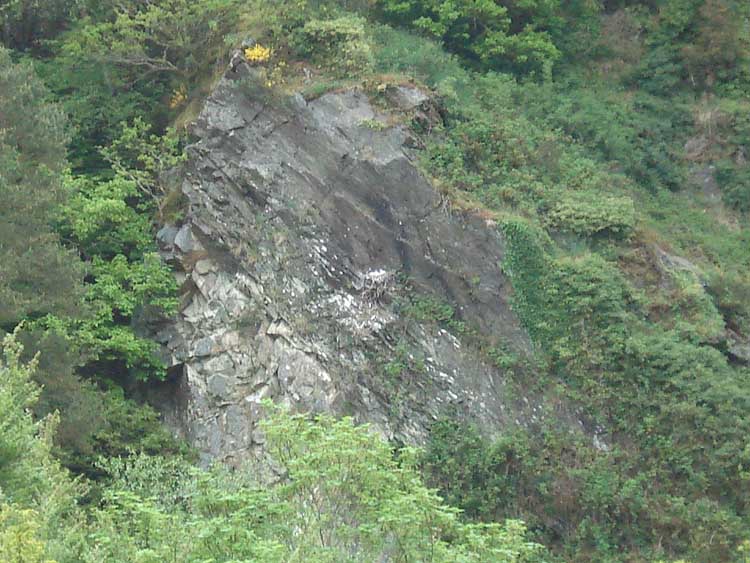
A look at the quarry face.

Ruins � to the left is the wheel pit (behind the tree), the waterwheel provided power to haul out slate from the back of the quarry; the ruins to the right are probably buildings associated with the workings of the quarry.

Another view of the viaduct.
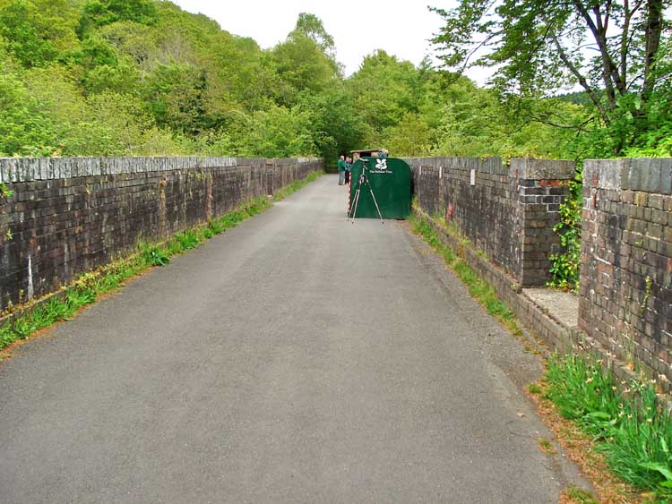
On the viaduct, approaching the peregrine falcon viewing area.

Part of the introductory notice.

Another notice.
The best I could do with my camera unaided .....

..... and looking through one of the viewing telescopes - "Lunch is served".

Moor Strollers caption competition!
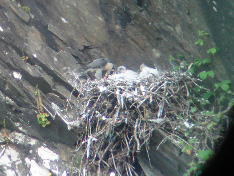
Through the same telescope

Looking down from the viaduct at one of the masonry bases for the old bridge before the viaduct was built - this is seen in a later photo taken from across the river. The old viaduct was designed by Brunel and built in 1859 (the same date that is on the Saltash railway bridge over the Tamar) and would have been a wooden trestle structure. This was replaced in 1905 by the brick-built structure seen today.
Another view from on high.
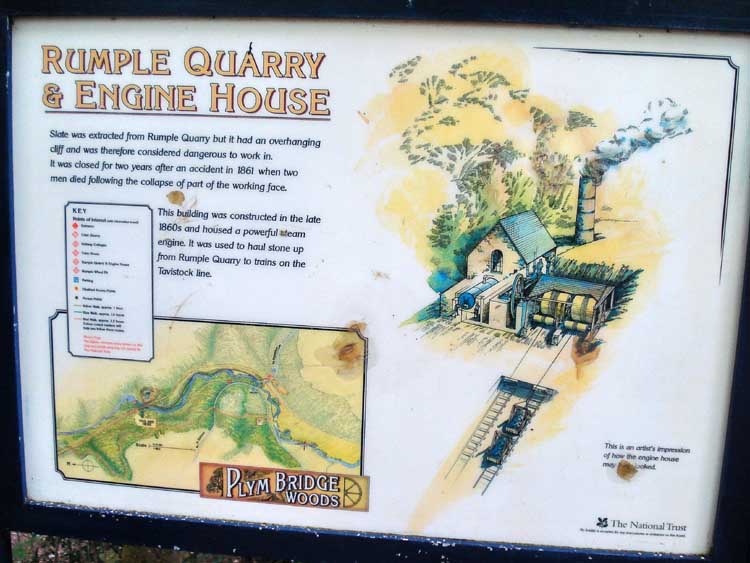
A notice about some ruins near the viaduct, about quarrying slate.
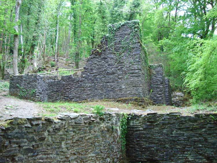
Rumple Quarry - part of the building pictured in the notice above.

Scene along the way.
A different view of the viaduct, with a pier for the old wooded bridge in the foreground.

Another quarry face seen up a side track in the woods.

As previous, in close-up.

Walking beside the River Plym, approaching the car park again.

As previous photo.

Image produced from the Ordnance Survey Get-a-map service.
Image reproduced with kind permission of Ordnance Survey
and Ordnance Survey of Northern Ireland.
This walk can be accessed from two directions:
1. The first is from Plymouth Airport/Wrigley's Factory direction by taking the exit after the Wrigley exit on the Wrigley's roundabout and continuing down the narrow Plymbridge Lane to Plymbridge. The bridge can no longer be crossed by a car due to bollards. The car park is on the north-west side of the bridge, right beside the bridge but is not marked on this map. It holds about 24 cars.
2. The second approach is by better roads. Take the main road to Plympton from Marshmills roundabout on the A38. Proceed through three sets of lights (the first being a Pelican crossing). At the fourth set of lights, right after the Texaco garage, turn left into Larkham Lane. Follow until a T-junction and turn left. Follow this road (Plymbridge Road) until you see the old railway bridge and turn left just before the bridge into the car park. This park holds about 50 cars and has an overflow for more. It is marked on the map by the P symbol.
The walk was essentially northwards from the Plym Bridge to the quarry, starting with the river on your left, reaching the viaduct, climbing up, crossing the the viaduct, turning left, descending and returning to the car park.
Statistics
Distance - 3.6 km / 2.25 miles.
All photographs on this web site are copyright ©2007-2016 Keith Ryan.