


This walk: 2009-4-29. Boulter's Tor, Setters Tor, settlement and White Tor, Great Combe Tor, lichens, sundew, sheep moving, haycutter and scuffler, new-born lamb, Brentor, Peter Tavy, swimming pool, gorse, lousewort, cuckoo flower (Lady's smock), Colly Brook/ Wedlake/ Peter Tavy Brook, bluebells, ramson (wild garlic), Red Devon cattle.
Useful link: British Wild Flowers.
Walk details below - Information about the route etc.
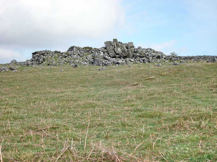
Boulter's Tor, SX 524 780, elevation 328 meters (1076 feet).

Setters Tor, SX 532 779, elevation 360 meters (1181 feet).
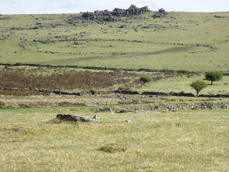
Settlement at SX 539 778, with White Tor behind, elevation 468 meters (1535 feet).

Setter's Tor rock formation that is not granite, more sedimentary and with vertical cracks as well as horizontal ones.
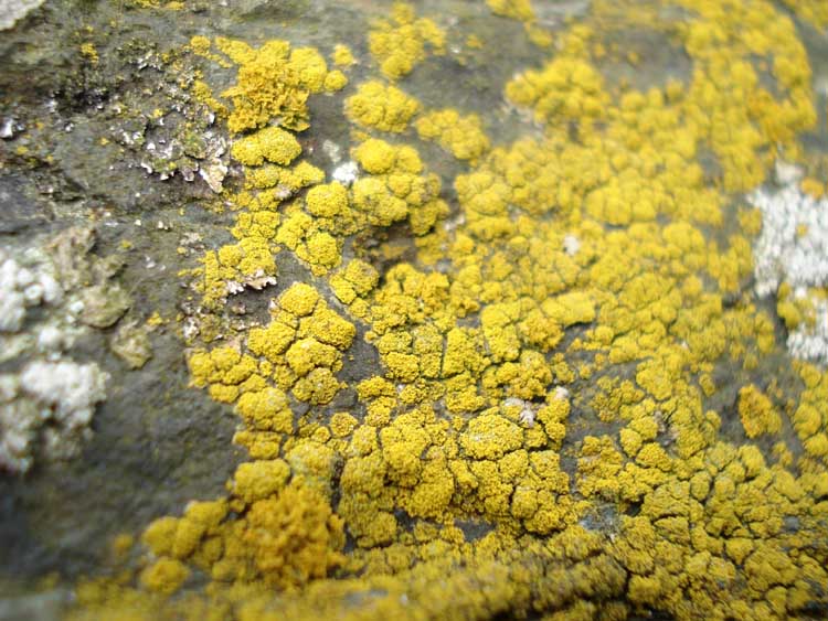
Lichen - probably Candelariella vitellina.

Lichen, possibly Crab's eye lichen - Ochrolechia parella.
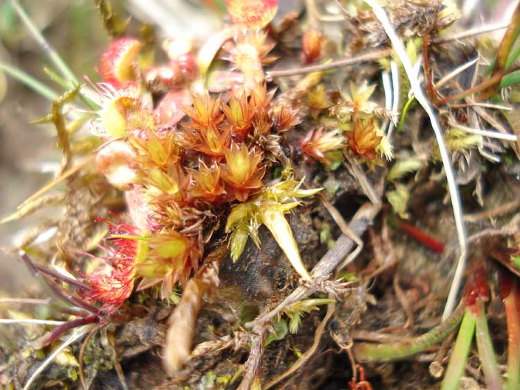
Sundew (Drosera) - apologies for not catching it face-on.

Footpath into the field of cows, our first crossing of Colly Brook, Wedlake or Peter Tavy Brook (alternative names).

Sheep being moved .....

..... forty-five, forty-six, forty-seven, forty-.....................
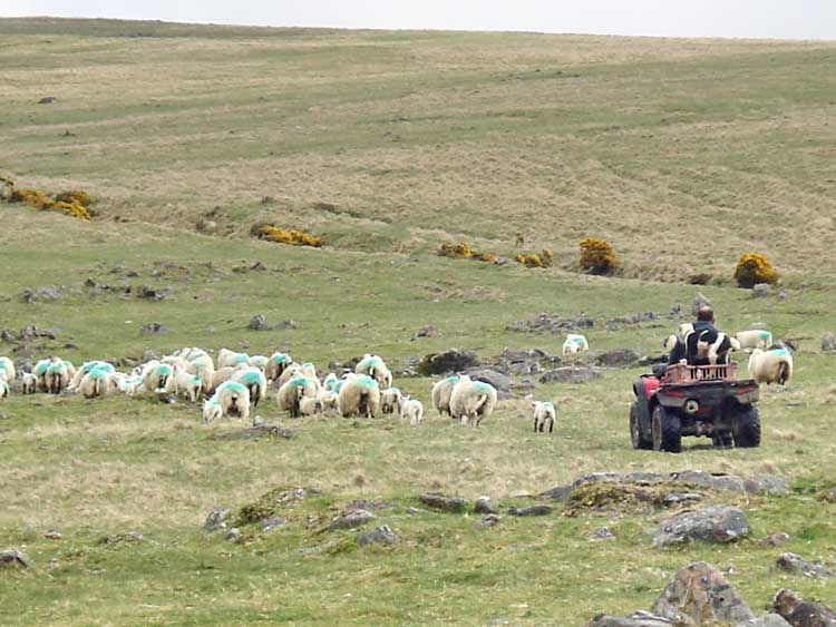
Sheepdogs riding on the quad bike.

Roos Tor, SX 543 766, elevation 438 meters (1436 feet).

Gaggle of Moor Strollers.

Believed old corn-drill (left) and a definite
scuffler
(also here) like Dad had at
home (right) for scuffling up weeds in a field, except that ours was
tractor-mounted on a crawler tractor like
this
one - imagine that as a young teenager on a farm - that's family history!
Better still, try this link
for an old memory of mine - complete with a scuffler.
PS - the tractor is a Ransomes MG5 - listen to that engine, they do NOT make
them like that any more. PPS - this is not me or anyone I know.

Lower Godsworthy Farm.
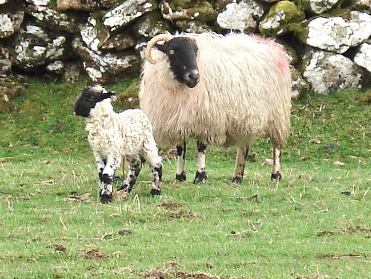
New-born lamb.
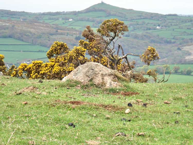
Brent Tor Pointer Stone (another one, see here) with Brent Tor behind .....

Lane between fields leading to open moor land.
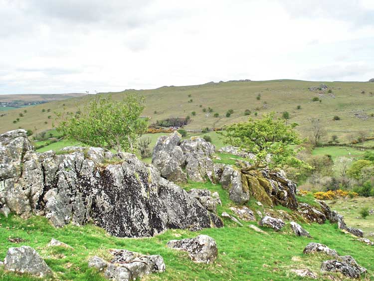
Great Combe Tor, SX 522 774
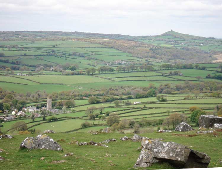
View of Peter Tavy with Brent Tor (right).
Strange new pole on the moor - normally known as "North Hessary".
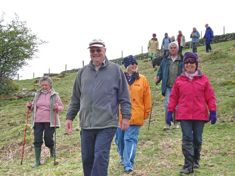
Another gaggle of Moor Strollers.

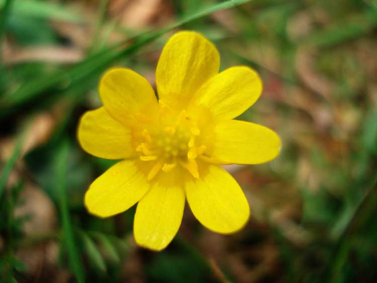
As previous photo.
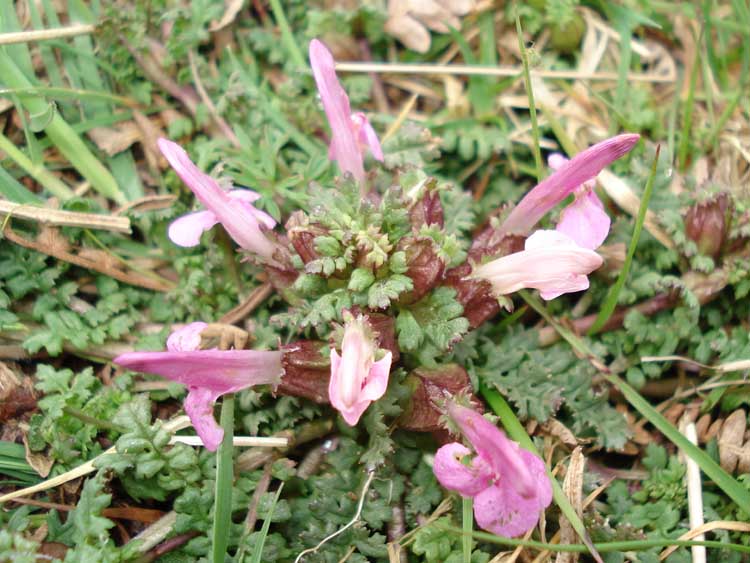

Lousewort, also here.

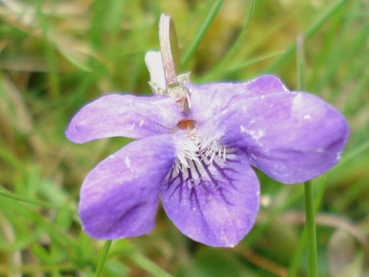
Violets, in profusion, almost .....

Peter Tavy swimming pool, SX 52012 77618, opened 1933, closed 1992 due to Health & Safety considerations, re-opened 1994 as a wildlife pond.

Valve controlling water level in the pool.
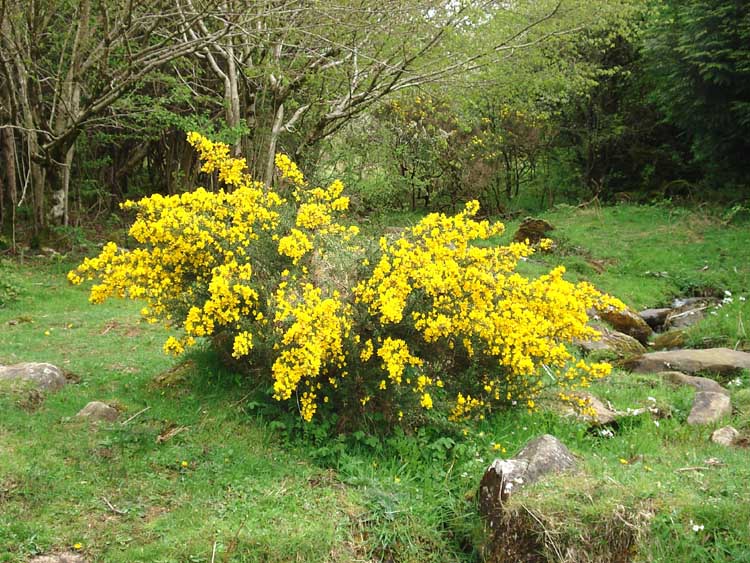
Common Gorse, see here for more details.

Believed common newt in the bottom of the swimming pool.

Lady's Smock also called Cuckoo Flower.

Gorse, again.
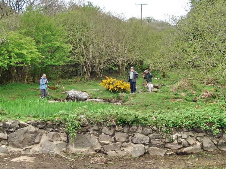
Admiring the paddling pool.

Dartmoor oddity - a stone in the stream bank below the pool with strange cut marks; it may have been part of a large circular stone.

Colly Brook, Wedlake or Peter Tavy Brook (alternative names).
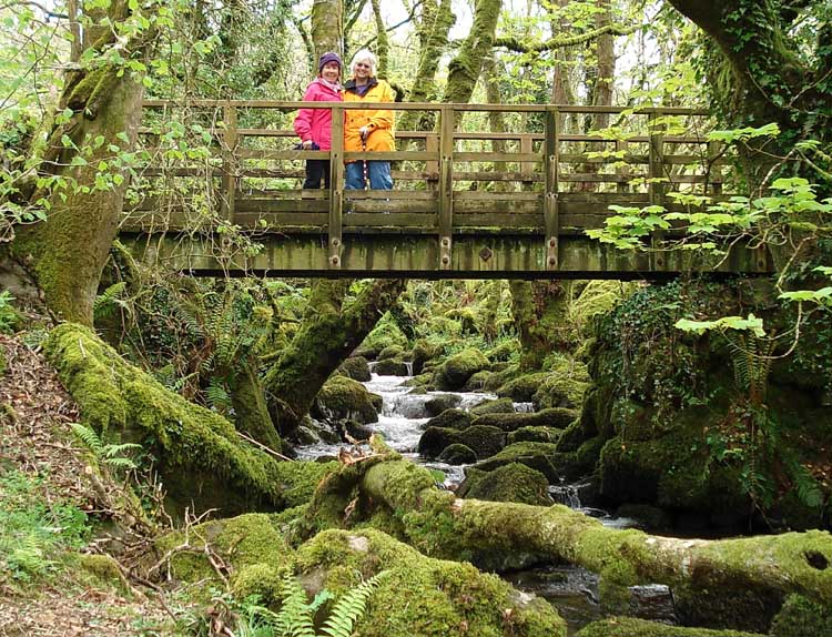
Two beauties in a beauty spot ..................................................................... Jim, Shut up!

A leat take-off point for water to power the mill in the village.
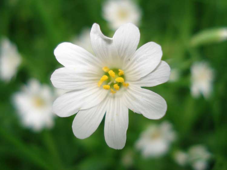
Greater or Lesser Stitchwort.

Ramsons (wild Garlic).

Close-up of a ramson flower.

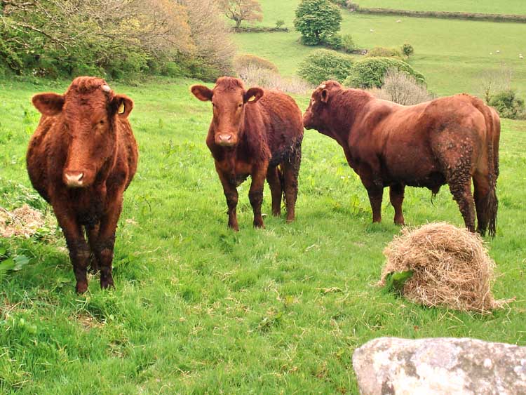

Devon Red heifer.

Devon Red bull.
MAP: The red line is the route walked.

Reproduced from Dartmoor OS Explorer map 1:25 000 scale by
permission of Ordnance Survey
on behalf of The Controller of Her Majesty's
Stationery Office.
© Crown copyright. All rights reserved. Licence number 100047373.
Also, Copyright © 2005, Memory-Map Europe, with permission
The walk was approached from Plymouth on the A386 via Tavistock to Peter Tavy. The roads off the main road are typical Dartmoor lanes, becoming quite narrow after Peter Tavy after passing the church on your left and then turning right up onto the moor.
Statistics
Distance - 5.45 km / 3.4 miles.
All photographs on this web site are copyright ©2007-2016 Keith Ryan.
All rights reserved - please email for permissions