


This walk: 2009-4-22. Two Crosses, Wind Tor, common gorse, western gorse, violet, Drywell crossroads, Drywell Cross, early purple orchid, pink purslane, Dockwell, Hutholes medieval village, longhouses, cooking pit, drying kilns for corn, National Park information board, May blossom / hawthorn, slotted gatepost, water crowfoot.
Walk details below - Information about the route etc.

Recently laid marker stone, marking the meeting of four manors - Dunstone, Jordan, Blackslade and Widecombe; years ago two crosses were cut in the turf and annually renewed by the village lengthsman.

First view of Wind Tor , at SX 708 757, elevation 375 meters (1230 ft) - not a high tor but the views are impressive.

Part of Wind Tor.

Moor Strollers investigating the top rock - which doesn't!

A row of attempted cutting holes across the rock, from bottom to top of the photo .....
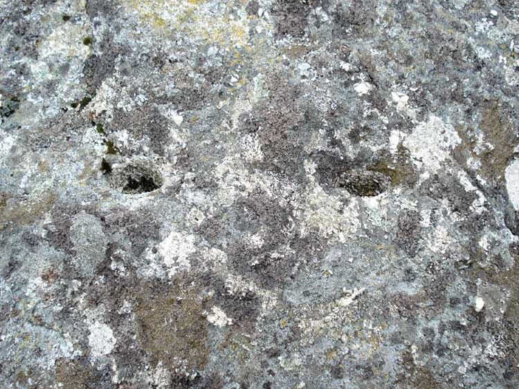
Two of the holes, left-right, which seem too large to be feather'n'tear, too small for wedge'n'groove ............so, definitely the footprints of a hotly pursued fox!!!
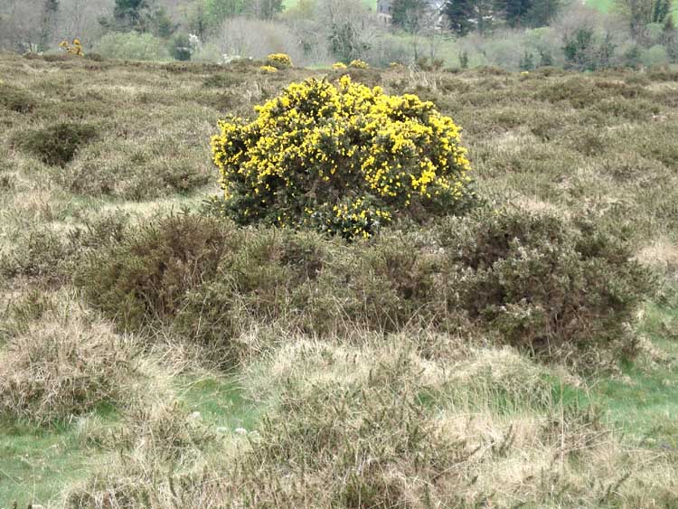
Strange sight of a Common Gorse bush in flower surrounded by Western Gorse which flowers later. See here for more details.
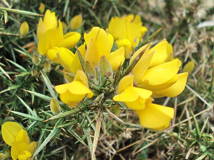
Close-up of gorse flowers. An old Dartmoor saying goes: "When the gorse blossom�s missing there�ll be no more kissing!"
From Wikipedia: Common gorse flowers most strongly in spring, though it bears some flowers year round, hence the old country phrase: "When gorse is out of blossom, kissing's out of fashion." The flowers have a very distinctive strong coconut scent. Western gorse or Dwarf Furze differs in being almost entirely late summer flowering (August-September in Ireland and Britain), and also have somewhat darker yellow flowers than Common gorse.

A colourful mixture of gorse and violets.

Close-up of a
violet, also see
here on the
Legendary Dartmoor web site.
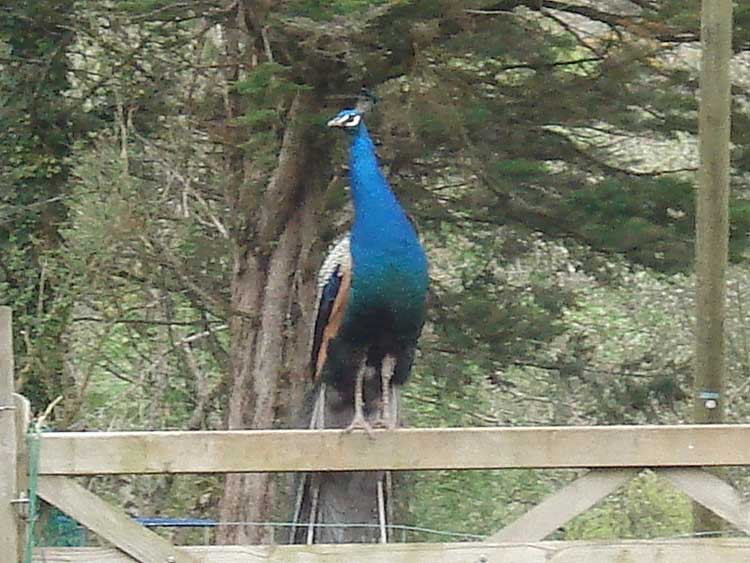
A peacock seen along the way.

The site of a majestic oak tree at Drywell crossroads, with an unusual cross hidden behind the onlookers .....

Strange stone in the hedge on the crossroads - what was it for? It is too large and well made for an old mortar stone, for tin stamping? One source says it is a gatehanger stone.
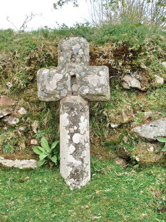

Another view of the scene.
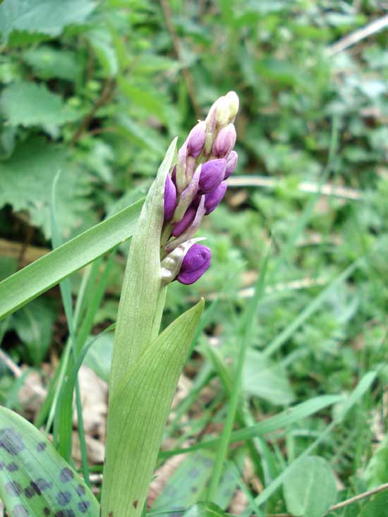

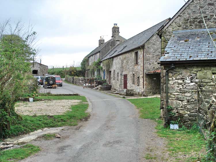
Dockwell, seen along the walk.
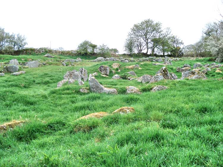
A general view of Hutholes, a medieval village, at SX 7019 7585.

A feature in one of the long houses.

Note the old cooking pit, at bottom right.

A look inside the cooking pit, complete with soot-stained cover stone .....

An outbuilding.

A longhouse.

The same longhouse from the opposite direction.

Blackthorn or sloe (Prunus spinosa) in flower .....

.... and in close-up.
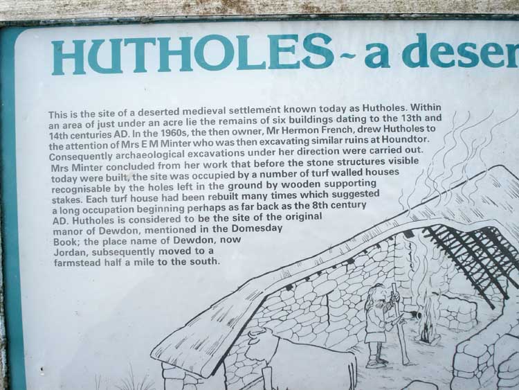
Section of the Hutholes information board
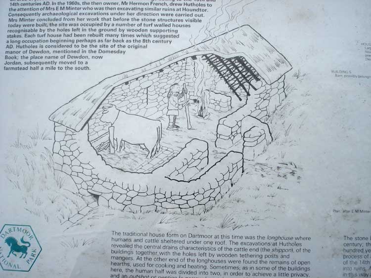
..... ditto

..... ditto.

..... ditto.

..... ditto.

Three (or four) drying kilns for drying corn, the fires would be below and the corn stored above (under cover) for drying. This was a time when the climate was changing to wetter summers and farms were being abandoned on Dartmoor.

Closer view of a kiln.

Another building.

A slotted gatepost, converted for modern gate hanging using hinges.

A view to Warren House Inn (5.6 km / 3.5 miles away).
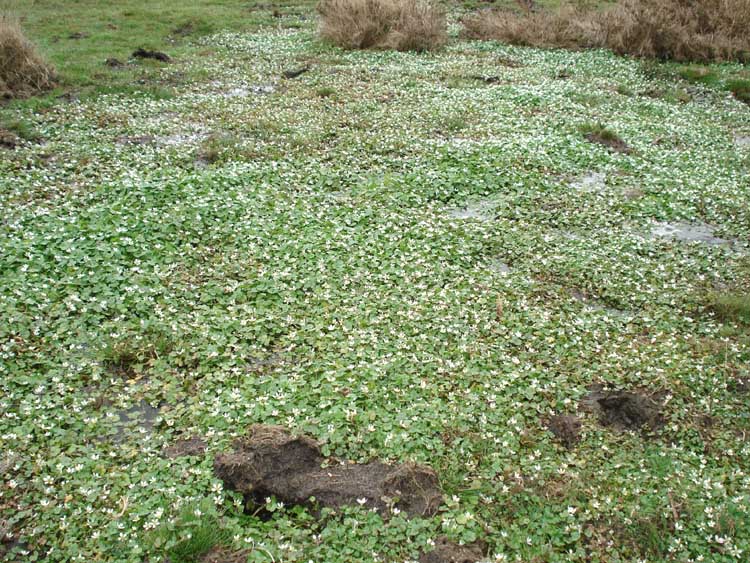
A bed of Round-leaved Crowfoot - Ranunculus omiophyllus.

Closer view .....

..... and in close-up.
The red line is the route actually walked.

Reproduced from Dartmoor OS Explorer map 1:25 000 scale by
permission of Ordnance Survey
on behalf of The Controller of Her Majesty's
Stationery Office.
© Crown copyright. All rights reserved. Licence number 100047373.
Also, Copyright © 2005, Memory-Map Europe, with permission
Access was via the A38 dual carriageway, turning off just after Ashburton (from Plymouth) at the Sigford sign at Alston Cross, to Owlacombe Cross (turn left), to Cold East Cross (turn right), to Hemsworthy Gate (turn left), to Widdicombe-in-the-Moor (turn left), then take the first small road on the right to Dunstone Down, parking at the small parking area on the right (at the yellow cross on the map).
Statistics
Distance - 4.03 km / 2.5 miles.
All photographs on this web site are copyright ©2007-2016 Keith Ryan.
All rights reserved - please email for permissions