![]()


This walk: 2009-3-11. Harefoot Cross car park, Top Tor, Pil Tor, Blackslade Down, cairn and cist, Whittaburrow and cairn, Tunhill Rocks, hut circle and homestead, Widecombe-in-the-Moor, frog spawn, Hollow Tor and Bovey Rock.
Walk details below - Information about the route etc.

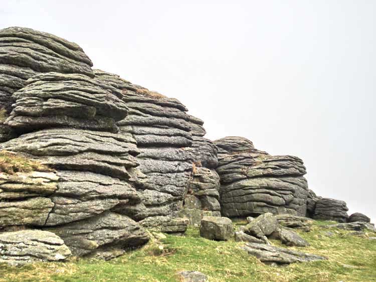
Top Tor at SX 736 762, from the car park, elevation 432 meters (1417 ft).

A section of Top Tor close-up.

A rock pile on the way with Rippon Tor behind at SX 746 755 (elevation 473 meters or 1551 ft).

Another rock pile on the way.

Approaching Pil Tor (SX 735 759, elevation 414 meters or 1358 ft).

A section of Pil Tor.

On part of Pil Tor .................... "Look out, here come those people again".
A rock formation at Pil Tor.

Looking down at Tunhill Rocks (SX 731 757, elevation 389 m/1276 ft).

Looking back at Pil Tor, a strange feature - appearing as a sunken path .....

Cist at 73410 75507 � 5 m. The cist is in a large cairn but this was not photogenic in the heather and other vegetation.

A zoomed, misty view of Haytor Rocks (left, SX 757 770, 2.55 km/1.58 miles distant) and Saddle Tor (right, SX 751 763, at 1.7 km/1.06 miles).

Whittaburrow, at SX 733 753 (elevation 403 m/1323 ft), the cairn is in the following photo.

Whittaburrow cairn.

Looking back at Whittaburrow .....

Another outcrop of Whittaburrow.

Figures on Tunhill Rocks, SX 731 757, 382 m/1253 ft.
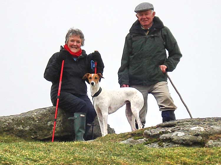
Kay, Tim and Jess.

A round house/hut circle in the enclosure in the lee of Tunhill Rocks.

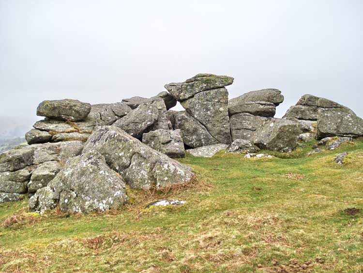
Looking up at Pil Tor, a classic avenue tor with a gap in the middle where rock has been eroded over time. This type of rock formation may be described in the Geological Magazine.

Letterbox in Tunhill Rocks, with the entry of the Moor Strollers.

Front page of the book.

Looking down at Widecombe and the Church of St. Pancras with its large tower, often known as the "The Cathedral of the Moors".
Small ponds with frog spawn.

Close-up of frog spawn. The "white bits" are believed to be areas that have been affected by frost. These eggs are more developed than those seen last week.
Bovey Rock, SX 734 765.

Its amazing what some people take photographs of, isn't it .....................
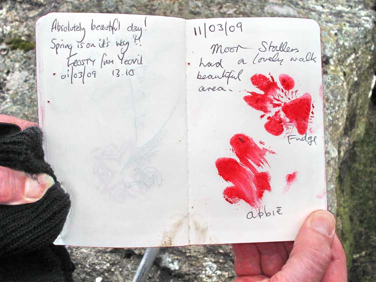
Another letter box book, at Bovey Tor, signed by Fudge and Abbie.
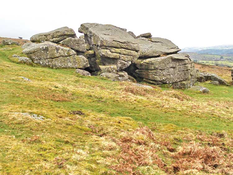
Bovey Rock.
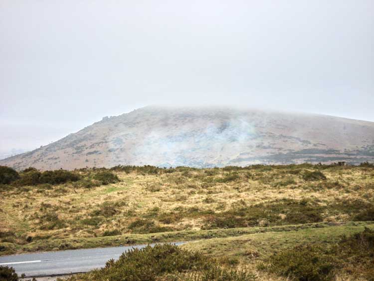
A last view of Ripon Tor, with mist and low cloud.
MAP: The red line is the route walked: the Blue line is another track of the same walk. The tracks deviate slightly because we walked slightly different routes.
 Reproduced from Dartmoor OS Explorer map 1:25 000 scale by
permission of Ordnance Survey
Reproduced from Dartmoor OS Explorer map 1:25 000 scale by
permission of Ordnance Survey
on behalf of The Controller of Her Majesty's
Stationery Office.
© Crown copyright. All rights reserved. Licence number 100047373.
Also, Copyright © 2005, Memory-Map Europe, with permission
The walk was reached using the Bovey Tracey-Widecombe road by some, or from the A38 using the "Sigford" turn-off between Ashburton and the Newton Abbot turn-off. There are other approaches. Parking was at the Harefoot Cross car park, indicated by the P symbol and yellow cross at the top of the map.
Statistics
Distance - 3.66 km / 2.27 miles.
All photographs on this web site are copyright ©2007-2016 Keith Ryan.