![]()


This walk: 2009-2-5. Deancombe Farm, Cuckoo Rock, Combeshead Farm, potato cave, Combshead Tor, Hingston Hill circle and stone row, three cists, Down Tor.
Walk details below - Information about the route etc.

Inquisitive pony at the start of the walk, looking down on the track to Middleworth Farm.

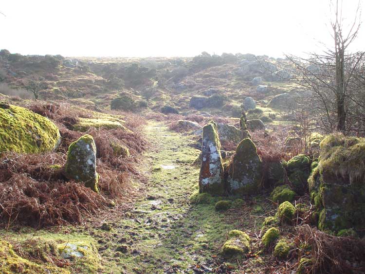
The sunlit track, on a cold morning after the snow had mostly melted away.

Building at Deancombe Farm (SX 5797 6879) with two small trees growing in it. According to "Exploring around Burrator - a Dartmoor reservoir" by Paul Rendell (Pub. The Dartmoor Company, ISBN 978-0-9555 150-0-2 Price �5), this farm was working from around 1450 to 1910.
Another building at Deancombe Farm.
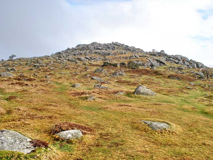
A zoomed first view of Cuckoo Rock.

An ancient tree, seen along the track
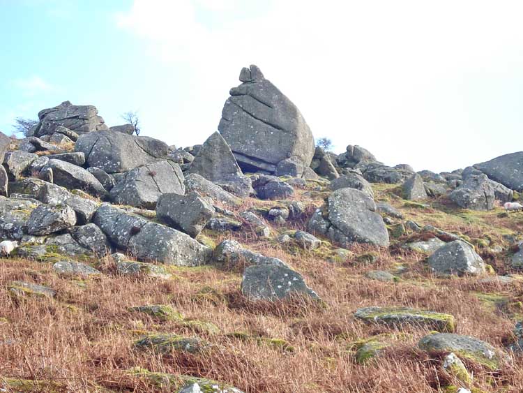
Closer to Cuckoo Rock.

..... and closer again, at SX 58470 68723.

View of the rear of Cuckoo Rock, with Sheeps Tor behind, in the mist. The rock has the appearance of a caricature of a Red Indian face from this side, looking at the right edge?

Mist, rolling up the Narrator valley.
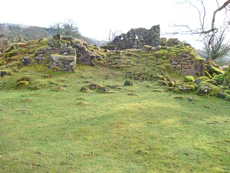
Approaching Combeshead Farm, at SX 58557 68548. The farm was last occupied in December 1931 (Reference: the Paul Rendell book, details above).

Another view of Combeshead Farm.
View looking east-ish from Combeshead Farm.
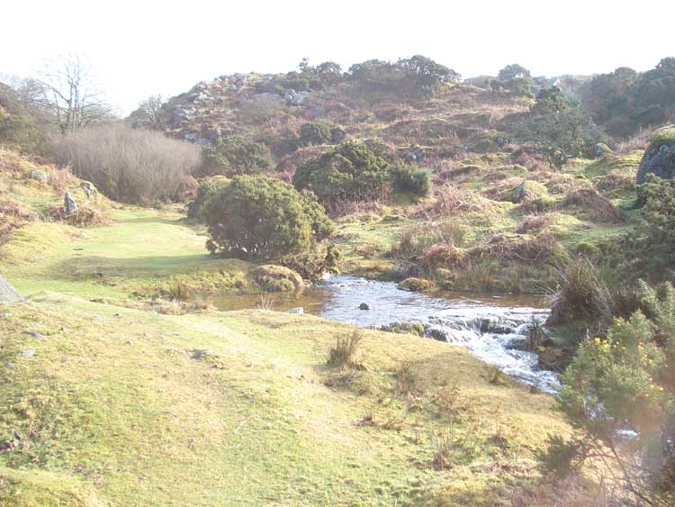
Combeshead Brook, below Combeshead Farm, which runs into Narrator Brook.
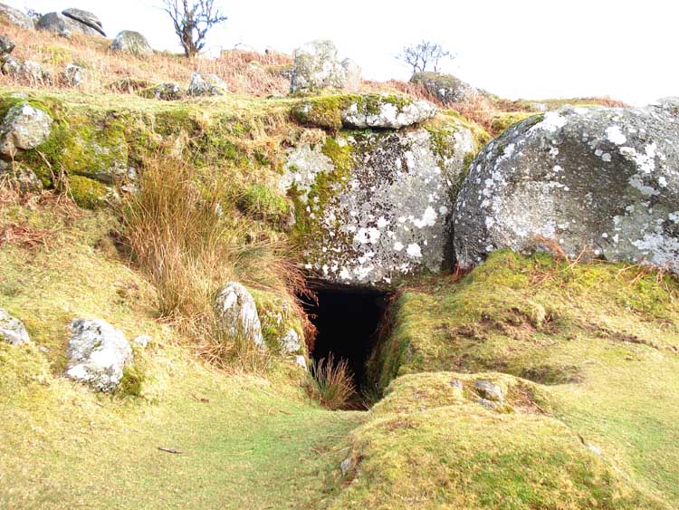
Potato cave, above Combeshead Farm, at SX 58635 68540.

Looking from the potato cave back down to Narrator Brook.

Inside the potato cave.

A low-flying helicopter.
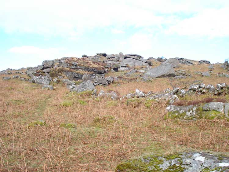
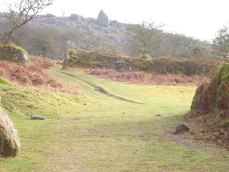
Approaching Combehead Tor, except that this is a false summit!
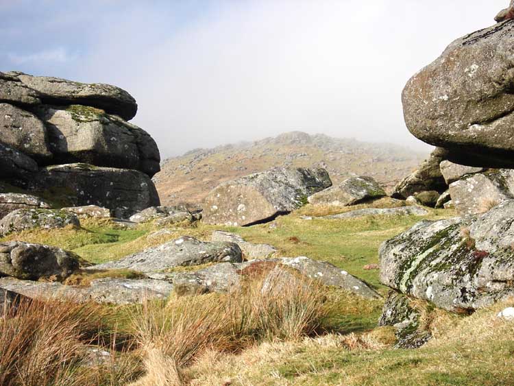
Looking to Down Tor (SX 580 694) from Combeshead Tor (SX 587 688).

Looking to Sheeps Tor from Combeshead Tor, with Burrator Reservoir also in the view.

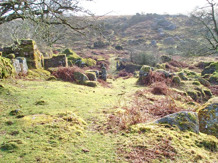
The frozen track from Combeshead Tor to the Hingston Hill stone row and circle.
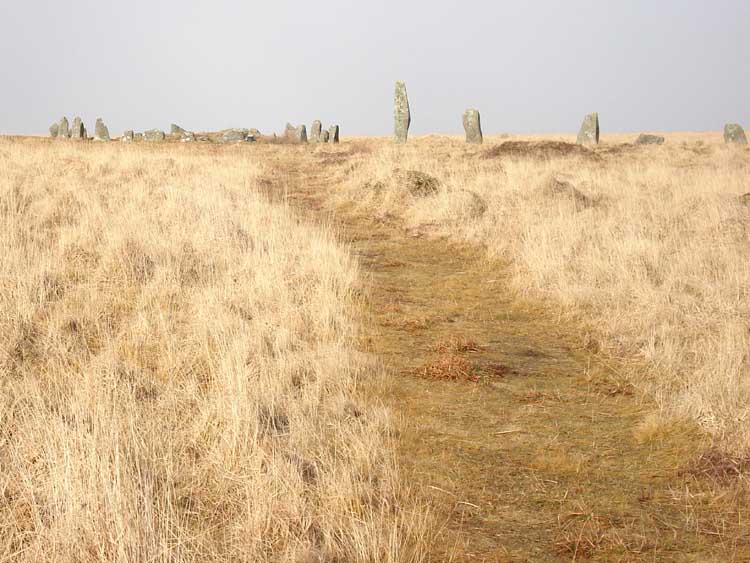
Approaching Hingston Hill circle, at SX 58690 69270, with the stone row extending to the right.

A view of the circle and the associated nearby large cairn, at left.
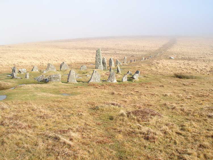
General view of the Hingston Hill row and circle.

Another view .....

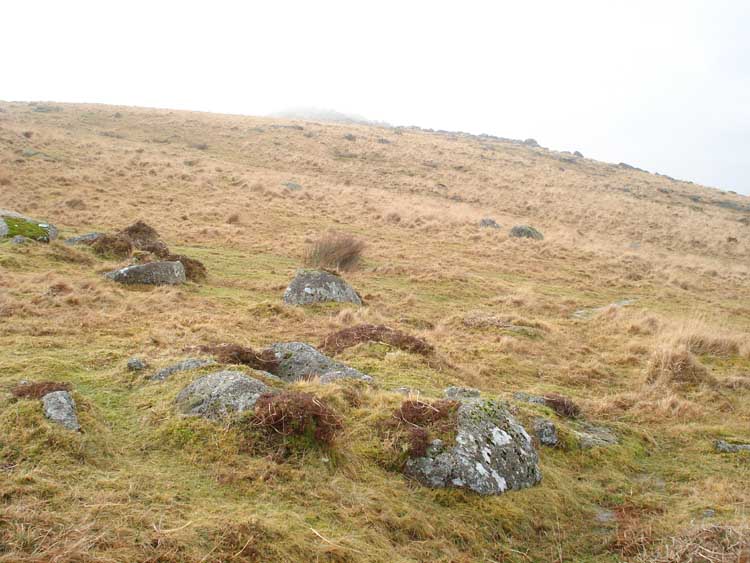
The first cist in a close group of three, on the slopes of Down Tor: 370 meters, 64 �mag. from the top of Down Tor

The same cist, showing the surrounding cairn.

View of the three cists: one cist is clearly seen in the centre-right foreground, a second (small) cist is seen almost at the left edge of the photo, and the third cist is in the low, dark hump at the top right. A GPS 'fix' taken in the centre of these cists gave SX 58392 69565 � 5 meters.

The second (small) cist.

The third cist.
View from the third cist towards Down Tor, up in the cloud/mist.
Approaching Down Tor, as the mist cleared.

Looking back at Snapper Tor, SX 57337 69318.

Looking across to Leather Tor, SX 562 699.
MAP: Blue = planned route, Red = GPS satellite track of the actual walk.
The blue lines are the compass or GPS bearings. The red line is the route actually walked: it deviates sometimes from the blue lines to avoid obstacles such as thick bracken, gorse, bogs or clitter, and often to use paths or animal tracks that are not on the map. It may also be shorter than the planned (blue) route if the walk is curtailed for some reason.

Reproduced from Dartmoor OS Explorer map 1:25 000 scale by
permission of Ordnance Survey
on behalf of The Controller of Her Majesty's
Stationery Office.
© Crown copyright. All rights reserved. Licence number 100047373.
Also, Copyright © 2005, Memory-Map Europe, with permission
Parking was at Norsworthy Bridge, at the P symbol on the left edge of the map. Access was via the road from Yelverton/Dousland, aiming for Burrator Reservoir. The car park is at the far end from the dam, over Norsworthy Bridge.
Statistics
Distance - 6.03 km / 3.75 miles.
Start 10.50 am, Finish 1.45 pm, Duration 2 hr 55 min.
Moving average 3.4 kph / 2.1 mph; Overall average 2.1 kph / 1.3 mph.
All photographs on this web site are copyright ©2007-2016 Keith Ryan.