


This walk: 2009-2-18. Dartmeet, Badgers Holt, Brimpts Farm, Yar Tor Down, spring, large hut circle - The Monument, re-erected doorway stones now fallen again, Vag Hill rabbit warren with pillow mounds, Combestone Tor, Vag Hill Pit, Warren House, confluence of the East & West Dart rivers at Dartmeet - the Double Dart, ancient clapper bridge at Dartmeet.
Walk details below - Information about the route etc.
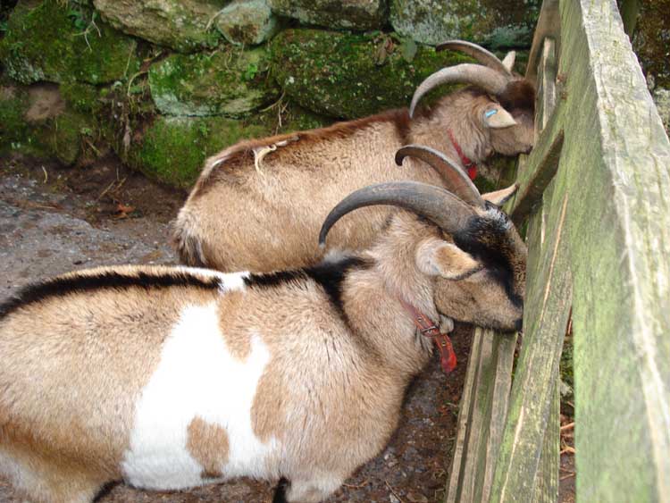
Two goats at Badgers Holt, just beside the footpath.
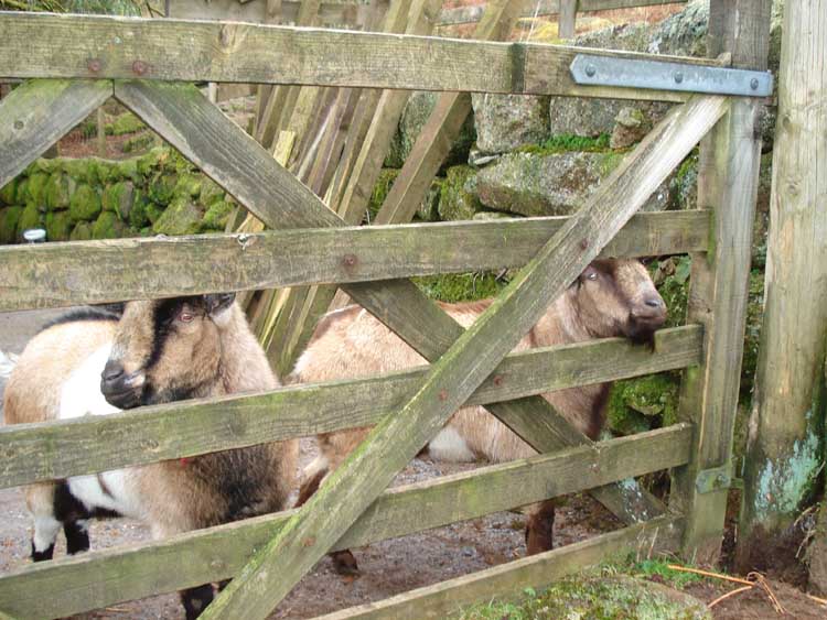
..... another view. Not easy to photograph these fellows .....
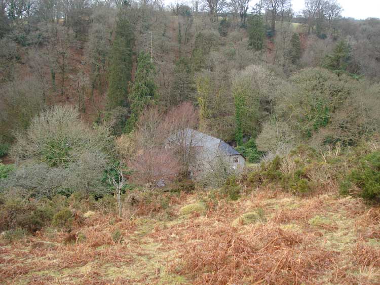
Looking down on Badgers Holt.

A zoomed view looking across to Brimpts Farm.
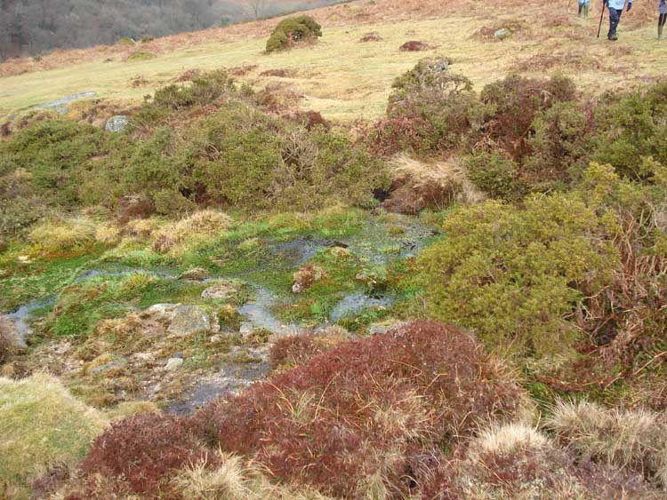
A spring bubbling out of the ground, note the colours, seen after crossing the road onto Yar Tor Down.

A large hut circle ...... previously known as The Monument.

.... with discussion about the size of the stones and the replaced doorway uprights, now fallen again. Details from Stone Monthly and Rock Weekly ..... see here & here .....

The famous coffin stone, also here, at SX 67738 73295 � 5 meters, photographed to try and show the incised crosses that are now covered in lichen .....
William Crossing in his The Ancient Stone Crosses of Dartmoor and its Borderland book, Chap. 15 for some info, other info from Mike Brown (2001) Guide to Dartmoor, CD-ROM, Dartmoor Press, Grid Square 6770 7329) ......... the higher of the stones has nine incised crosses and the initials SI, SC and AC. The lower stone has two incised crosses and the initials IB and IP. It is thought that SC signifies Samuel Caunter and AC denotes Aaron Cleave, both vburied at Widicombe in 1885. The rest are unknown. Another set of initials on the lower stone is said to be of recent origin, belonging to Thomas Leaman of Ponsworthy who had his ashes scattered over the spot sometime in the 1970s.
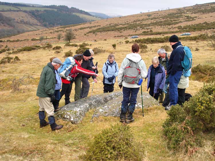
Gathered around the coffin stone, now split into two pieces.
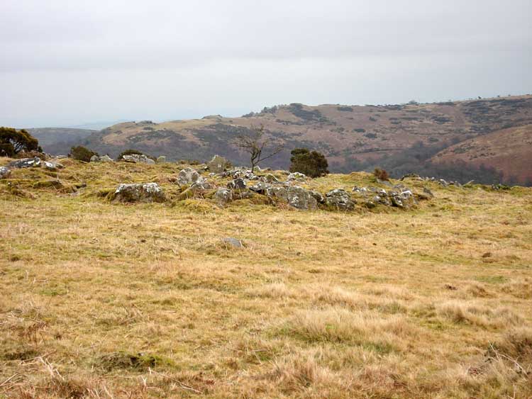
A view of another large hut circle inside a settlement, the settlement wall being seen nearest the camera ..... with Bench Tor behind.
..... with an apparent annex or double wall feature.
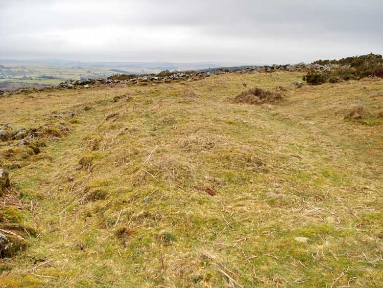
View of a rabbit breeding pillow mound, running away from the camera, with the remains of a surrounding drainage ditch.
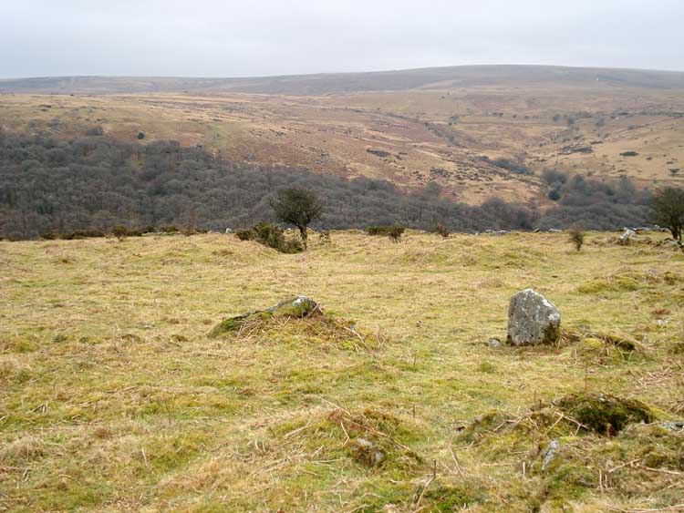
View of two more pillow mounds, with an oval one on the left and a circular one on the right, beyond the two prominent stones.
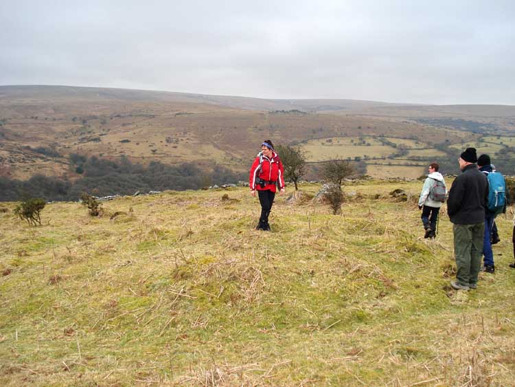
Closer view of the round pillow mound, again with the remains of a surrounding ditch .

Part of a vermin trap at the outer edge of the enclosure with the pillow mounds. A wall, forming part of a vee-shaped design is seen running towards the camera, the other arm of the vee is less clear but includes the large stone just this side of the wall of the enclosure.

Looking up at Combestone Tor.
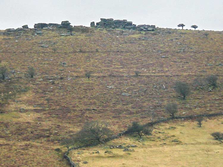
A zoomed view of Combestone Tor with two leats - the dry Wheal Mary Emma leat above and the still flowing Holne Moor leat below.

Looking towards Vag Hill Pit, a pretty coombe - seen on the map as a dent in the contour at SX 67640 72350, just above the "one" in "Combestone Island" on the map.

A building ..... I can't remember ..... may not have been in Stones Monthly ..... now I learn it was probably the Warren House, also a secret venue in former times for illegal cock-fighting.

Another view of the coombe .....
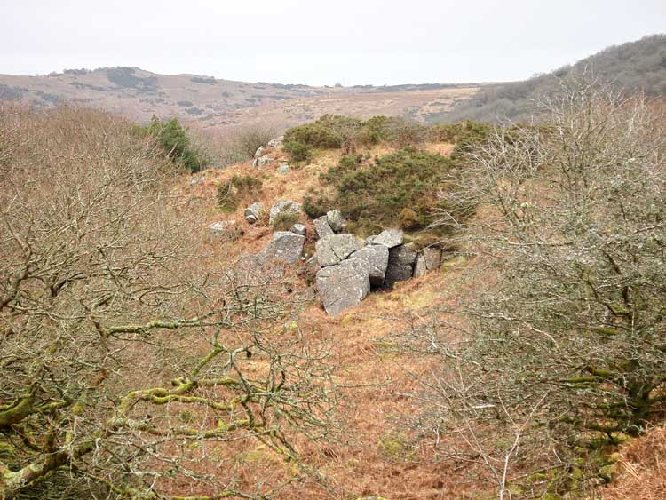
.... and again.

Looking down on the River Dart (proper) below the confluence of the East & West Dart Rivers at Dartmeet - sometimes refrred to as the Double Dart.

Looking towards the buildings above Dartmeet Bridge.

Looking south along a lane/path just before reaching the road at the bridge at Dartmeet.
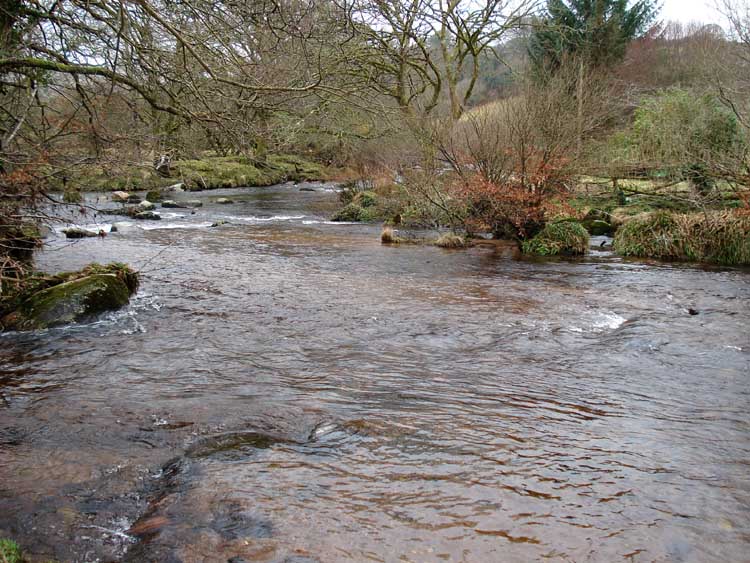
The confluence of the West Dart (flowing in from centre top) and East Dart (bottom right) to form the River Dart, running out of the scene at left.
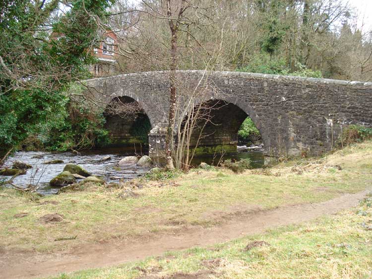
Dartmeet bridge.

Dartmeet bridge, an ancient clapper, now derelict.
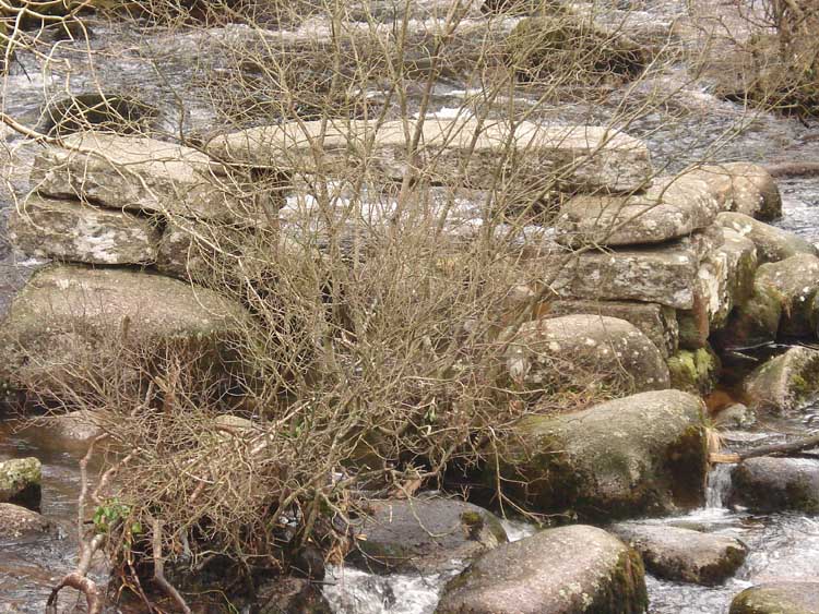
Zoomed view.
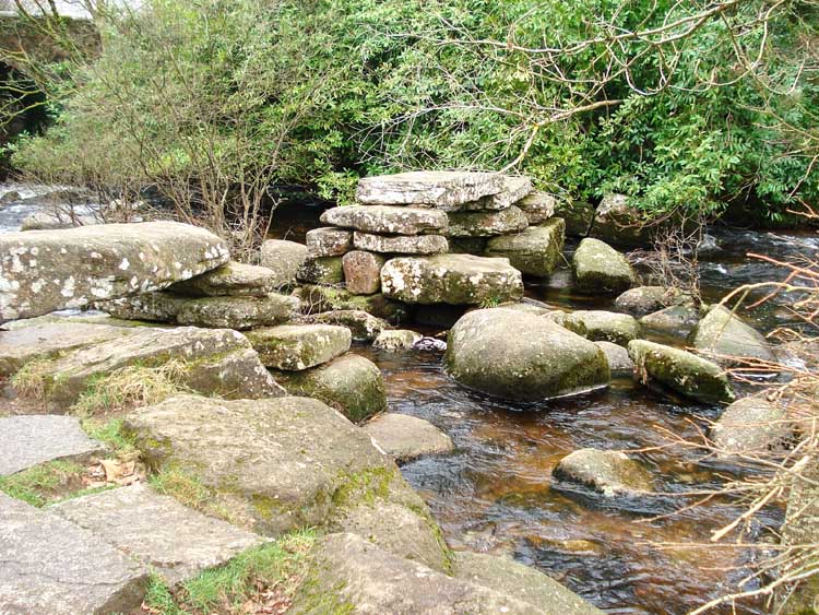
Another view of the clapper bridge from the upstream side
Red = GPS satellite track of the walk.

Reproduced from Dartmoor OS Explorer map 1:25 000 scale by
permission of Ordnance Survey
on behalf of The Controller of Her Majesty's
Stationery Office.
© Crown copyright. All rights reserved. Licence number 100047373.
Also, Copyright © 2005, Memory-Map Europe, with permission
Access was via the main road from Two Bridges towards Mortonhampstead with a largew car park/toilets at the P symbol and yellow cross on the map.
Statistics
Distance - 3.67 km / 2.28 miles.
Start 10 am, Finish 12.10 pm, Duration 2 hr 10 min.
All photographs on this web site are copyright ©2007-2016 Keith Ryan.