![]()


This walk: 2009-12-2. Shaugh Moor Bowling Green car park, WWII signaling post, unidentified fungus, "H" boundary post, burned gorse, Hawk's Tor, wedge and groove rock splitting method, Golden Plover, Saddleborough Cairns stone circles, Luxton Tor, rediscovered stone row (small stones).
Walk details below - Information about the route etc.

Moor Strollers gathered at the base of an old WWII signalling post: Pat, Isobel, Lucy, Kay, Liz, Herb, Sam, Jan, Jim, Celia and Tim.
A possible Hygrocybe Witch's Hat fungus, also known as Wax Caps.

..... as previous photo: try the WaxCap Website (incomplete for photographs, though).

Bases of the signalling post.

..... as previous again.

Nearby post with an "H" inscribed, probably a marker for Huxton Farm.

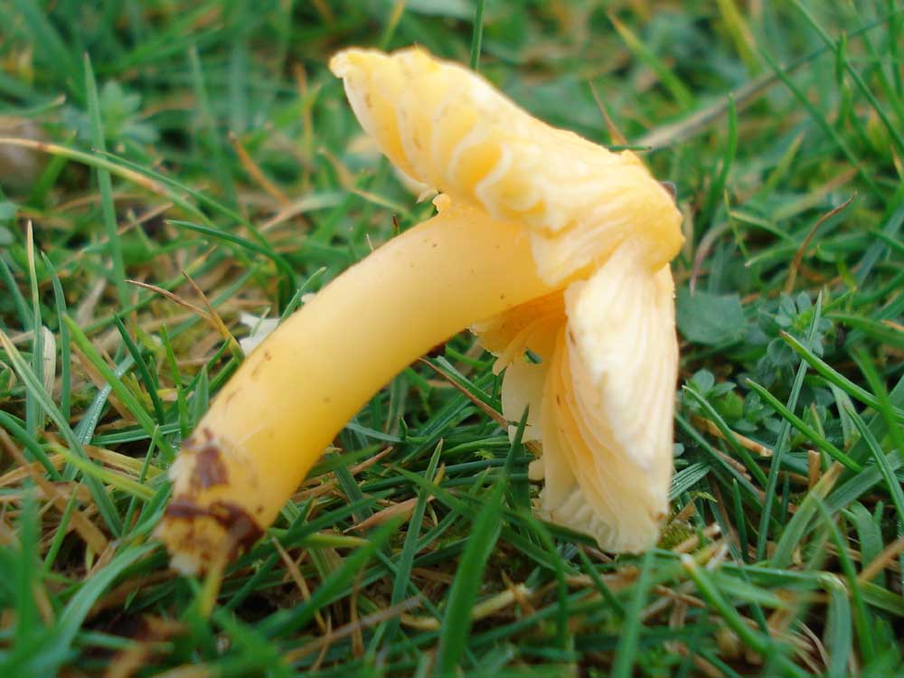
Another unidentified fungus.

Burned gorse, not from a controlled swaling i.e. it was arson.

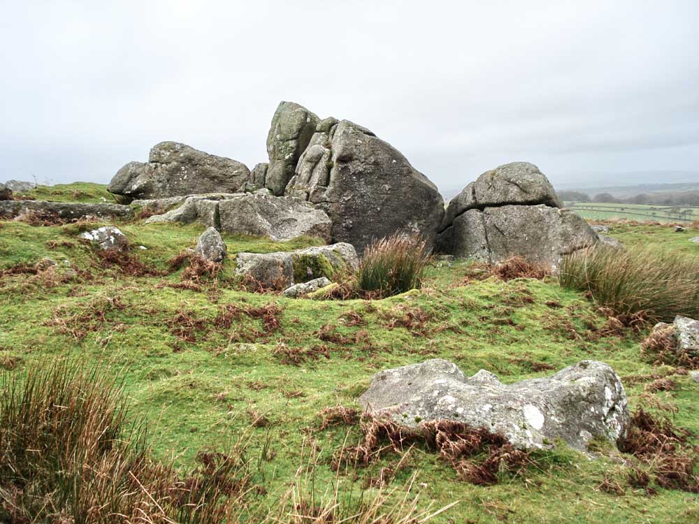
The distinctive Hawk's Tor, SX 553 625 .....

..... closer .....

..... inside the "chamber" .....
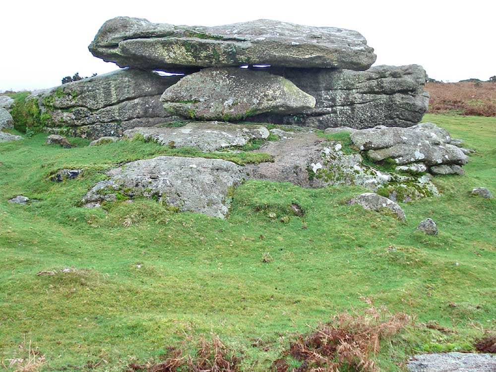
..... from behind .....

Another nearby "H" stone (Huxton Farm boundary?) .....

..... view from on top of the tor .....

..... evidence of attempted cutting of the stone by the wedge and groove method - which involved cutting slots, banging in wooden wedges, soaking them with water, and waiting for them to swell up and split the stone. This predated the feather and tare method which was introduced around 1800 AD.

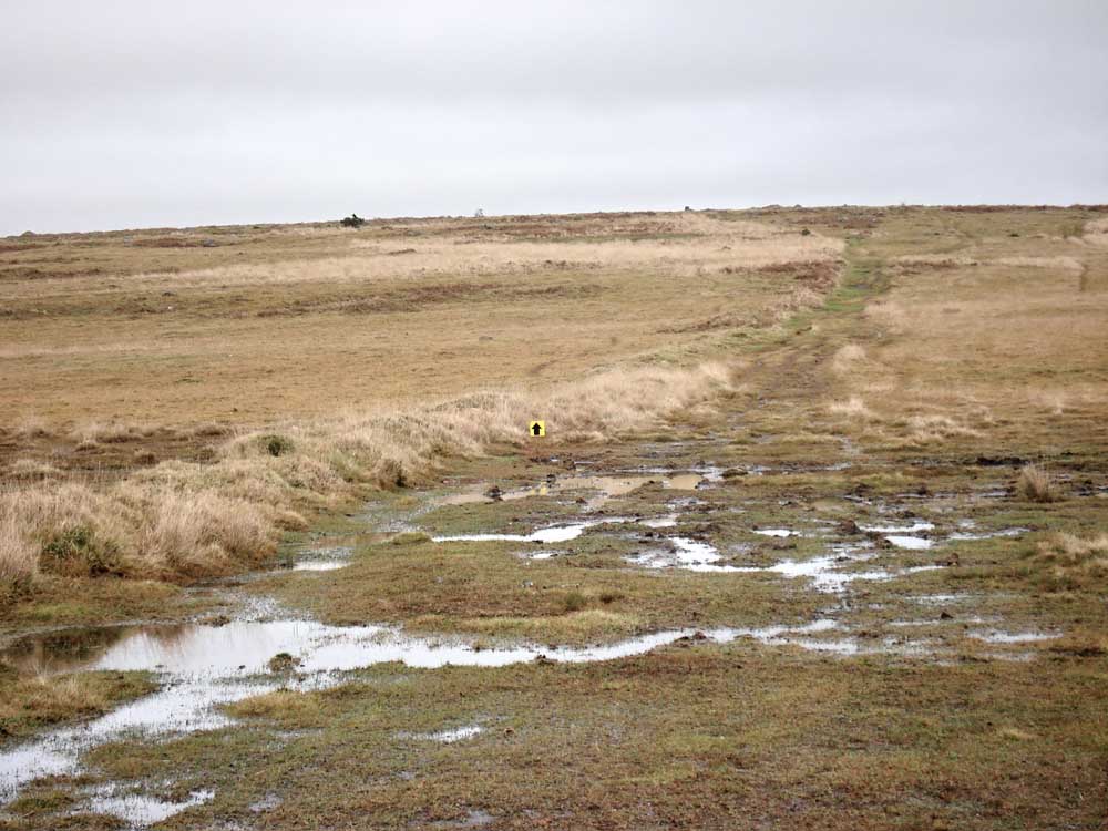
Looking south-west along the trackway beside the clay works .....
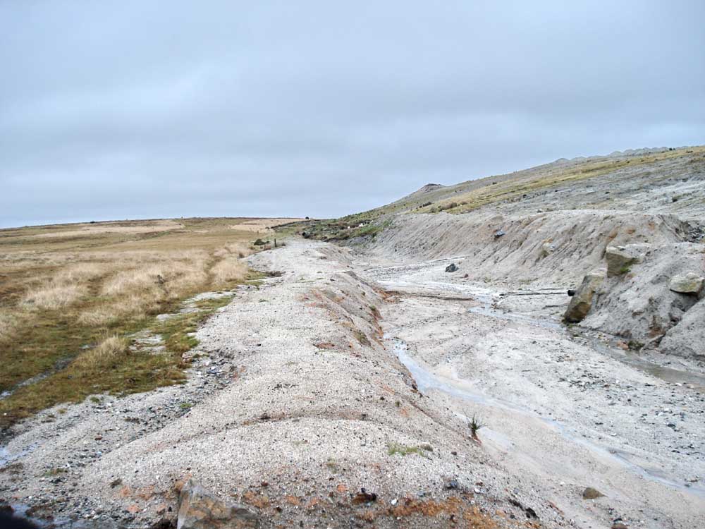
..... looking north-east along the trackway ......
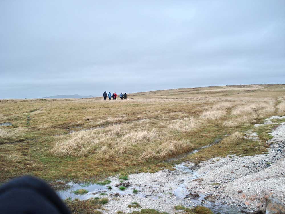
...... and looking at Moor Strollers disappearing while I took the photographs!
Looking along a reave, part of extensive prehistoric land division on Shaugh Moor. This reave continues up to the Saddlesborough terminal reave.

Errrrrm ..... ?

Triangulation point at SX 55892 63213 (elevation 303 metres or 994 feet) near Saddlesborough Cairns.

Just looking at the view ..... showing Trowlesworthy Warren in the trees, Legis Tor behind and Gutter Tor in the distance.

Part of Saddlesborough Cairns, now largely demolished.

Luxton Tor by the Shaugh Lake china clay works .....
The same tor - with a better looking background!
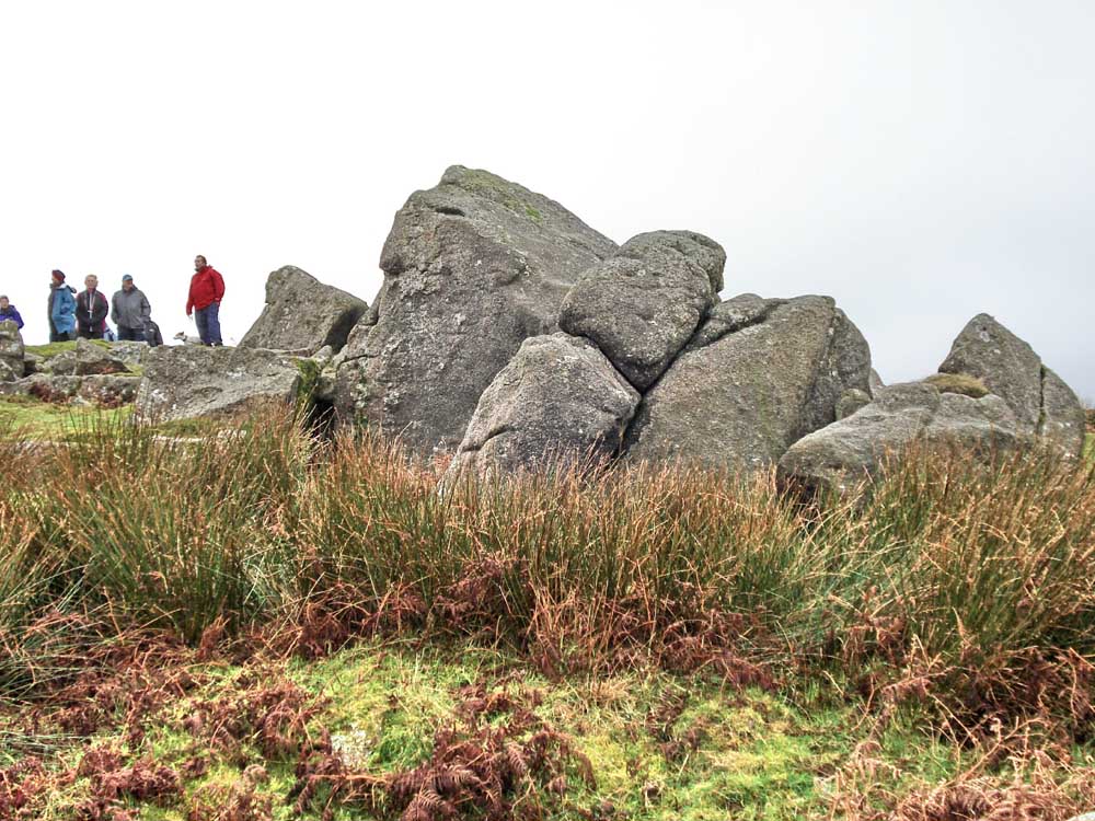
...... and some Strollers.

Evidence of the wedge and groove method on the split edge of the stone. The feather-and-tare method leaves half-profiles of the drill holes, here we see half-grooves.

A flock of Golden Plover in flight, before that, they were on the ground near us.

Round house remains (stone circle) neat the trig. point and tor.

Stone row, of small stones, recently uncovered by Dartmoor Preservation Association.
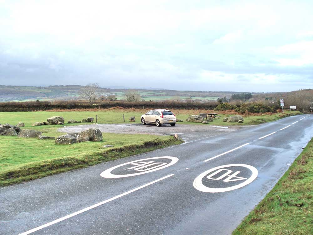
Shaugh Bowling Green car park. It was here, of course, that Drake was playing bowls when he saw the Spanish Armada approaching - there is a much better view from up here than down on Plymouth Hoe!
MAP: Red = GPS satellite track of the walk.
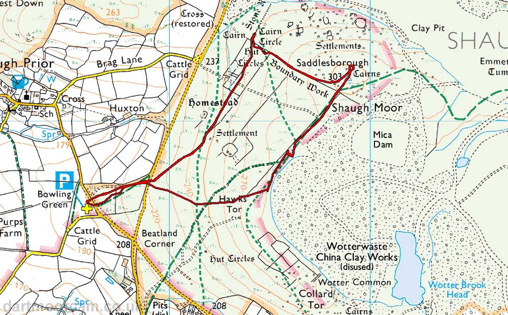
This walk can be approached f
rom several directions, namely from the Plympton and Yelvertaon areas. It is near Shaugh Prior and parking is available at the P symbol on the map where the yellow cross is located.
Statistics
Distance - 3.74 km / 2.32 miles.
All photographs on this web site are copyright ©2007-2016 Keith Ryan.