


This walk: 2008-6-9 Dartmoor Preservation Association walk led by John Howell. Postbridge, Lakehead Hill, stone row, 2 cists, Bellever Tor, Laughter Tor, stepping stones over the East Dart River, Snaily House, Bellever Clapper Bridge. Some of these antiquities are new compared to those seen on another walk on 2007-7-24.
Walk details below - Information about the route etc.

This is the row seen at SX 64390 77646 (GPS 'fix') on another Postbridge walk.
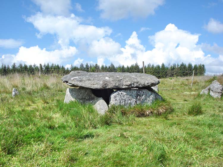
New cist, at SX 64480 77608 (from Memory Map).

New cist, at SX 64480 77608.

A second cist, at SX 64708 77171 (from Memory Map).

Second cist, at SX 64708 77171 (from Memory Map)

Part of stone row, at SX 658220 75383 (from Memory Map).
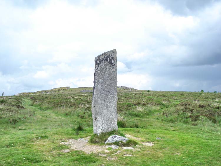
The menhir at SX 65223 75383 (from Memory Map).
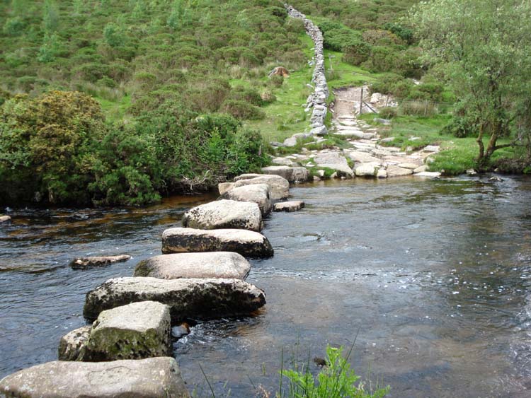
The East Dart stepping stones at SX 66250 75733 (from Memory Map).

A view of the East Dart River, en route to Bellever.

As previous photograph.
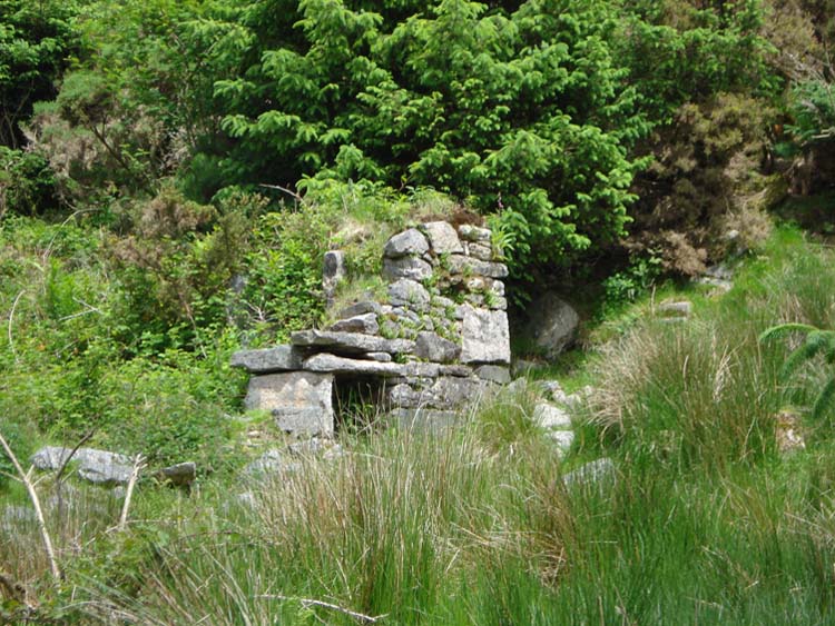
Snaily House, at SX 662115 76268 (believed, from Memory Map).
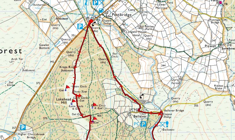
Red = GPS satellite track of the actual walk.

Reproduced from Dartmoor OS Explorer Memory Map 1:25 000 scale by
permission of Ordnance Survey
on behalf of The Controller of Her Majesty's
Stationery Office.
© Crown copyright. All rights reserved. Licence number 100047373.
Also, Copyright © 2005, Memory-Memory Map Europe, with permission
Ample car parking was at the P symbol on the Memory Map in Postbridge. The walk started by going by Kraps Ring and following the red GPS track as shown on the Memory Map images above.
Statistics
Distance - 10.5 km / 6.5 miles
Start 10.00 am, Finish 12.10 pm, Duration 2 hr 10 min
Moving average 3.5 kph / 2.2 mph; Overall average 1.8 kph / 1.1 mph
All photographs on this web site are copyright ©2007-2016 Keith Ryan.