![]()


This walk: 2008-12-3.
A beautiful, cold day with an almost cloudless blue sky. Combestone Tor, Sharp
Tor, Wheal Emma dry leat, Holne Moor leat, clapper bridges, Bronze Age field
boundaries, Witches Broom, Holne track, West Dart River, Luckey Tor, Medieval
field features, small aqueduct.
Walk details below - Information about the route etc.
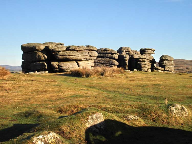
Combestone Tor, at SX 670 718.
Another view of Combestone Tor with Sharp Tor in the distance - not so "sharp" from this angle.
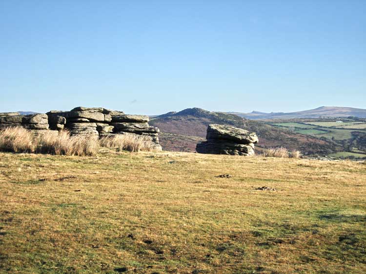
Another view, showing the separation of the rock piles.
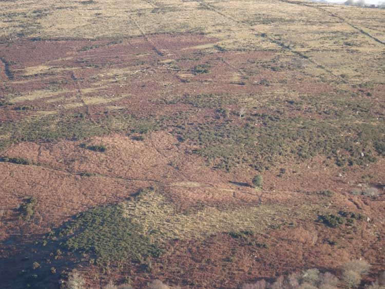
A view across the valley showing the Bronze Age field boundaries on the slope of Yartor Down.

The dry Wheal Emma leat, at SX 671 718.

Clapper bridge over the Wheal Emma leat.

Clapper bridge over the Wheal Emma leat, with sun rays coming from top right.
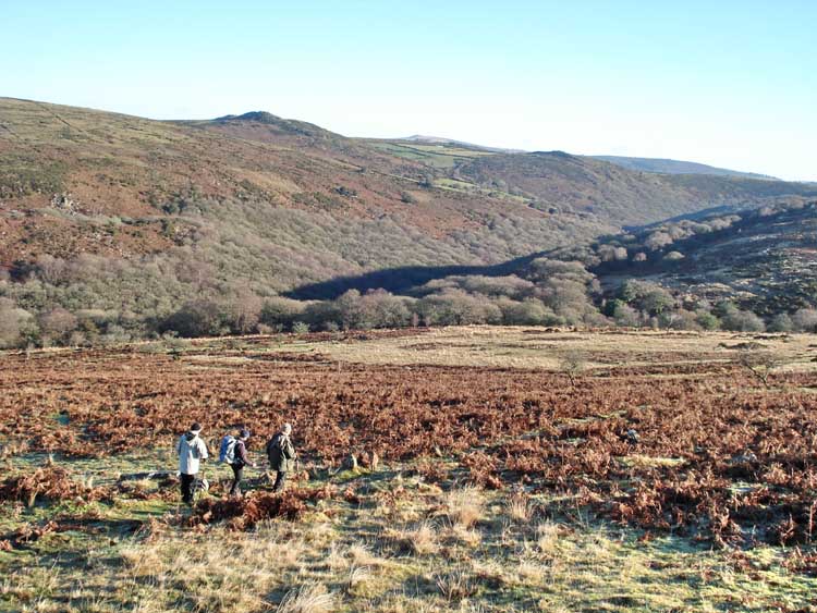
Lost in the landscape, in a manner of speaking, walkers with Combestone Wood and Sharp Tor in the background.
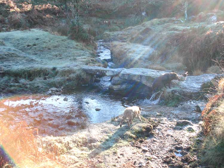
Icy clapper bridge in a hollow where the sun had not yet reached, with dogs enjoying the day.

Looking back at the bridge.
Looking back at Combestone Tor, showing the dry Wheal Emma leat near the top, with the Holne Moor Leat running below and the Holne track below that. Other tracks are visible near the bottom of the photo.
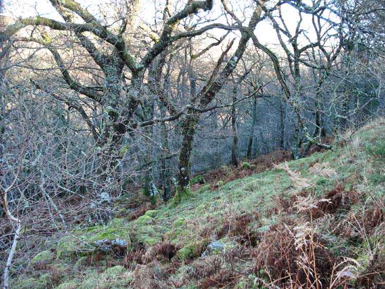
Looking into the woods at about SX 680 719.
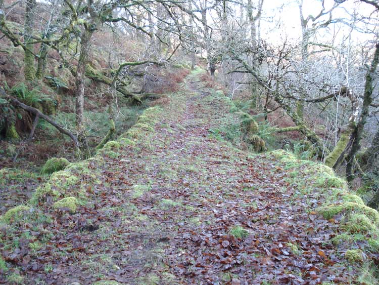
Raised path along the route of a large pipe (presumed for water?) through the edge of the wood.

An unusual growth on a tree, similar to Witches Broom (a fungus-induced disorder, Taphrina ) but without the extra twigs.

Looking down on the West Dart River in the valley below.

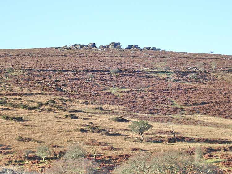
Luckey Tor, at SX 684 720.
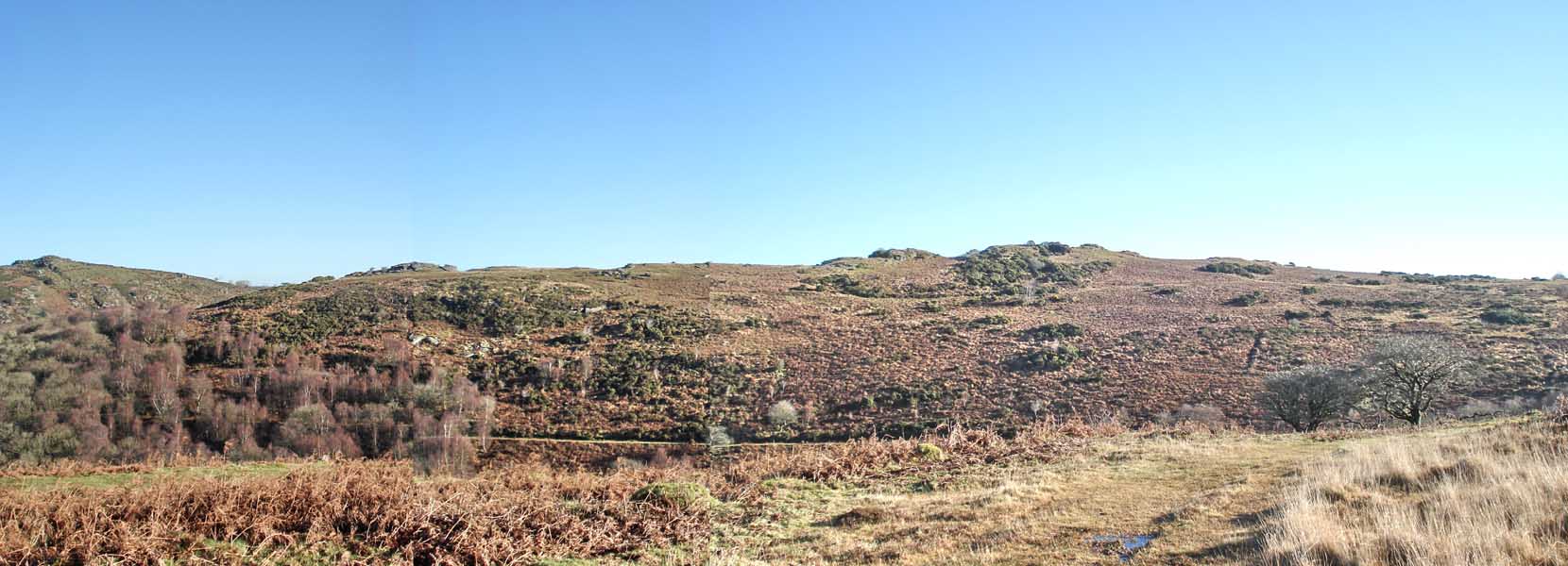
A panorama from the midway point of the walk, looking east (click on the photo to see a larger version).

Large round house / hut circle at SX 67745 71695.
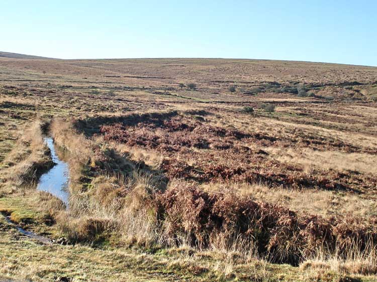
The Holne Moor Leat runs in from bottom right, around a curve, and away to the top right.
Another view of the bend in the leat.

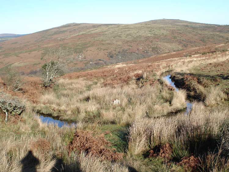
A small aqueduct where the leat passes over a gulley.
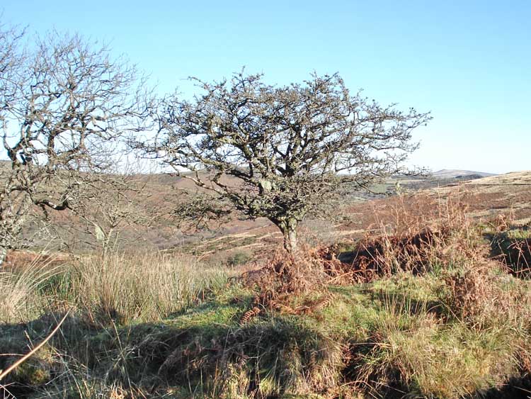
Lonely hawthorn trees, with Sharp Tor in the distance.
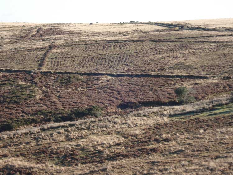
Ridges / raised beds in an old field from Medieval farming practice.

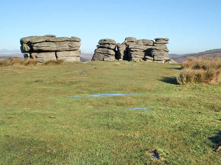
Back at Combestone Tor, again.
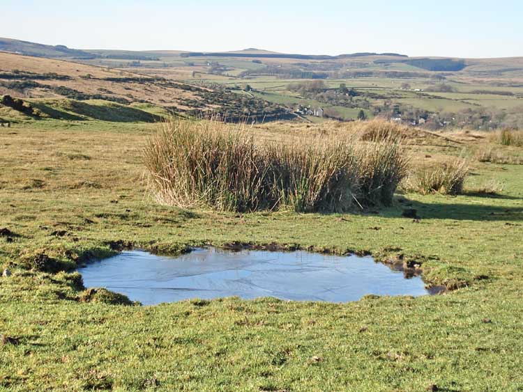
View from the car park, with Great Staple Tor at 288� magnetic - 13.4 km/8.3 miles away. The pool was still frozen at midday.
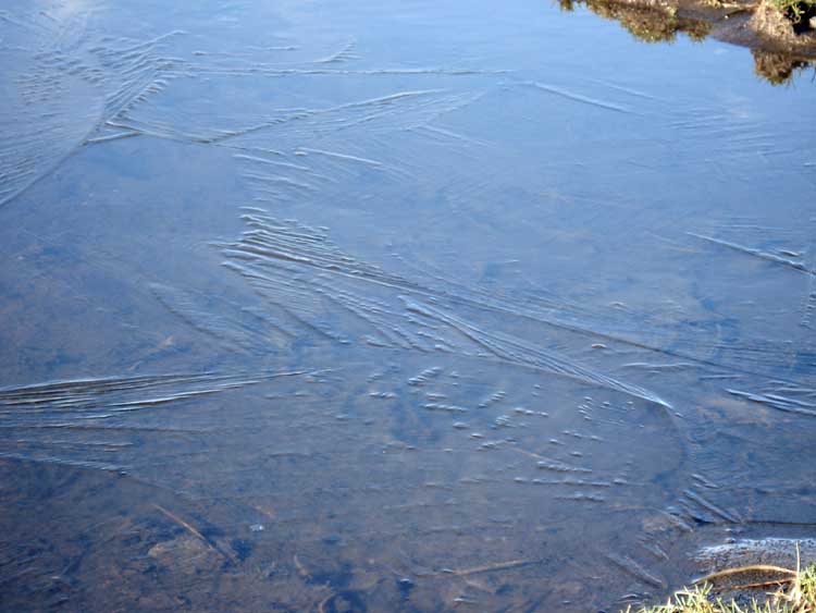
The ice on the surface of the pool.

Looking at the empty car park from the west. Note the tree growing in a hole in the ground.
Red = GPS satellite track of the actual walk.
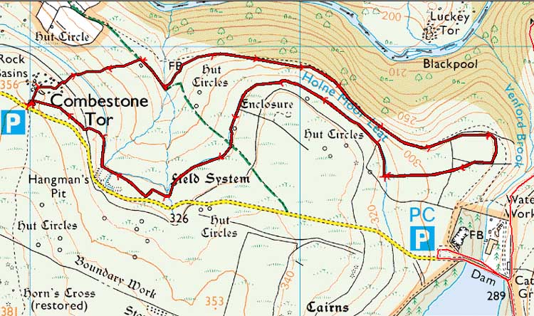
Reproduced from Dartmoor OS Explorer map 1:25 000 scale by
permission of Ordnance Survey
on behalf of The Controller of Her Majesty's
Stationery Office.
© Crown copyright. All rights reserved. Licence number 100047373.
Also, Copyright © 2005, Memory-Map Europe, with permission
The roads via Princetown and Two Bridges towards Dartmeet are normally easy to drive although on this particular day they were slightly icy, although they had been "gritted"/salted. The road from the main road down to Huccaby and Hexworthy are norrower and were untreated. Huccaby Bridge was a little slippery and the hill up past the Forest Inn was particularly a road to be driven with care. The open road beyond, to the car park by Combestone Tor was not so difficult.
Statistics
Distance - 8.5 km / 5.28 miles.
Start 10 am, Finish 12.10 pm, Duration 2 hr 10 min.
All photographs on this web site are copyright ©2007-2016 Keith Ryan.
All rights reserved - please email for permissions