![]()


This walk: 2008-10-9. Nun's Cross area to Eylesbarrow and back. This was not a normal walk - it was simply a 'blanket dragging' exercise looking for ticks. A few photos were taken and are presented here.
Walk details below - Information about the route etc.
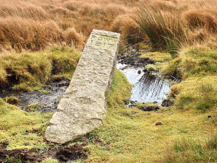
Fallen Burrator Reservoir water catchment area boundary stone at SX 60116 69002 � 5 meters.

Another view of the stone looking north, there is an older boundary stone nearby.

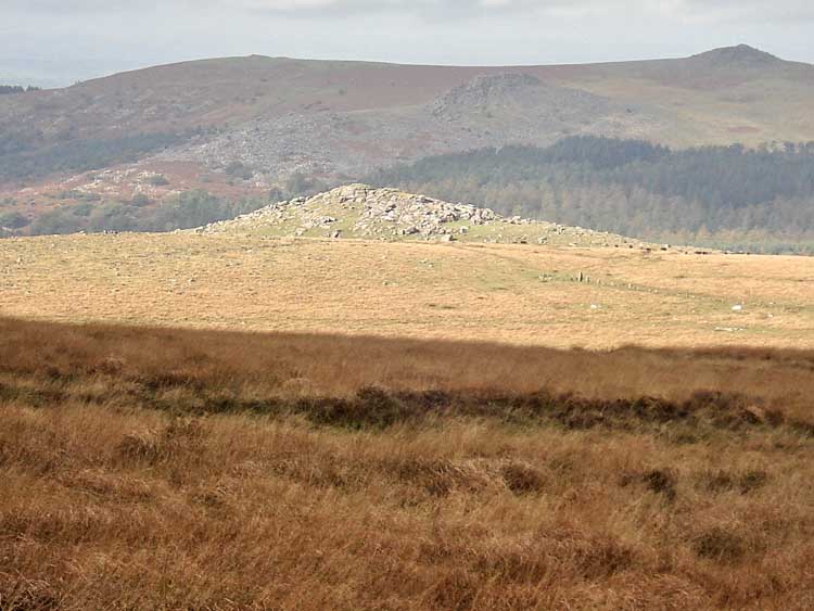
The southernmost limit of the walk, looking at Eylesbarrow (SX 59959 68593). The stone post is another PCWW boundary stone.

Pony at Eylesbarrow.

Leather Tor (SX 56270 70000) bathed in sunshine with Peeks Hill and Sharpitor behind. There is a little more sunshine on the southern flank of Down Tor in the foreground, with Raddick Plantation behind..

"You try that side and I'll try this side" - Eylesbarrow.
Down Tor (SX 58040 69400) bathed in sunshine. Note how dark Sharpitor and Leather Tor have become in the background.

The fern-like appearance of some Sphagnum moss.

A lichen that I cannot name.

Looking across the leat cutting near Nun's Cross towards the cross at SX 59167 70290.
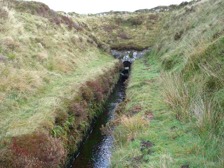
The cutting where the leat re-emerges from underground (at SX 60153 69878) near Nun's Cross.
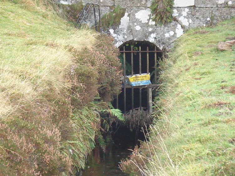
The grille over the tunnel entrance, with a warning notice about radon gas.

The old smithy at SX 60165 69918, with the landmark beech tree behind.

View of the old smithy.

Ditto.

Zoomed view of Sheepstor (SX 56592 68248) bathed in sunlight, 3.9 km / 2.4 miles away.
MAP: Red = GPS satellite track of the actual walk.

Reproduced from Dartmoor OS Explorer map 1:25 000 scale by
permission of Ordnance Survey
on behalf of The Controller of Her Majesty's
Stationery Office.
© Crown copyright. All rights reserved. Licence number 100047373.
Also, Copyright © 2005, Memory-Map Europe, with permission
Access to this area was by the main road to Princetown, down Tor Royal Lane to park near Peat Cott. The red track was only made for the time dragging the blanket looking for ticks. The car park is just off the top edge of the map.
Statistics - for the tick "drag" only
Distance - 4.38 km / 2.72 miles.
Start 10.29 am, Finish 12.57 pm, Duration 2 hr 28 min.
Moving average 2.8 kph / 1.74 mph; Overall average 1.8 kph / 1.12 mph.
All photographs on this web site are copyright ©2007-2016 Keith Ryan.
All rights reserved - please email for permissions